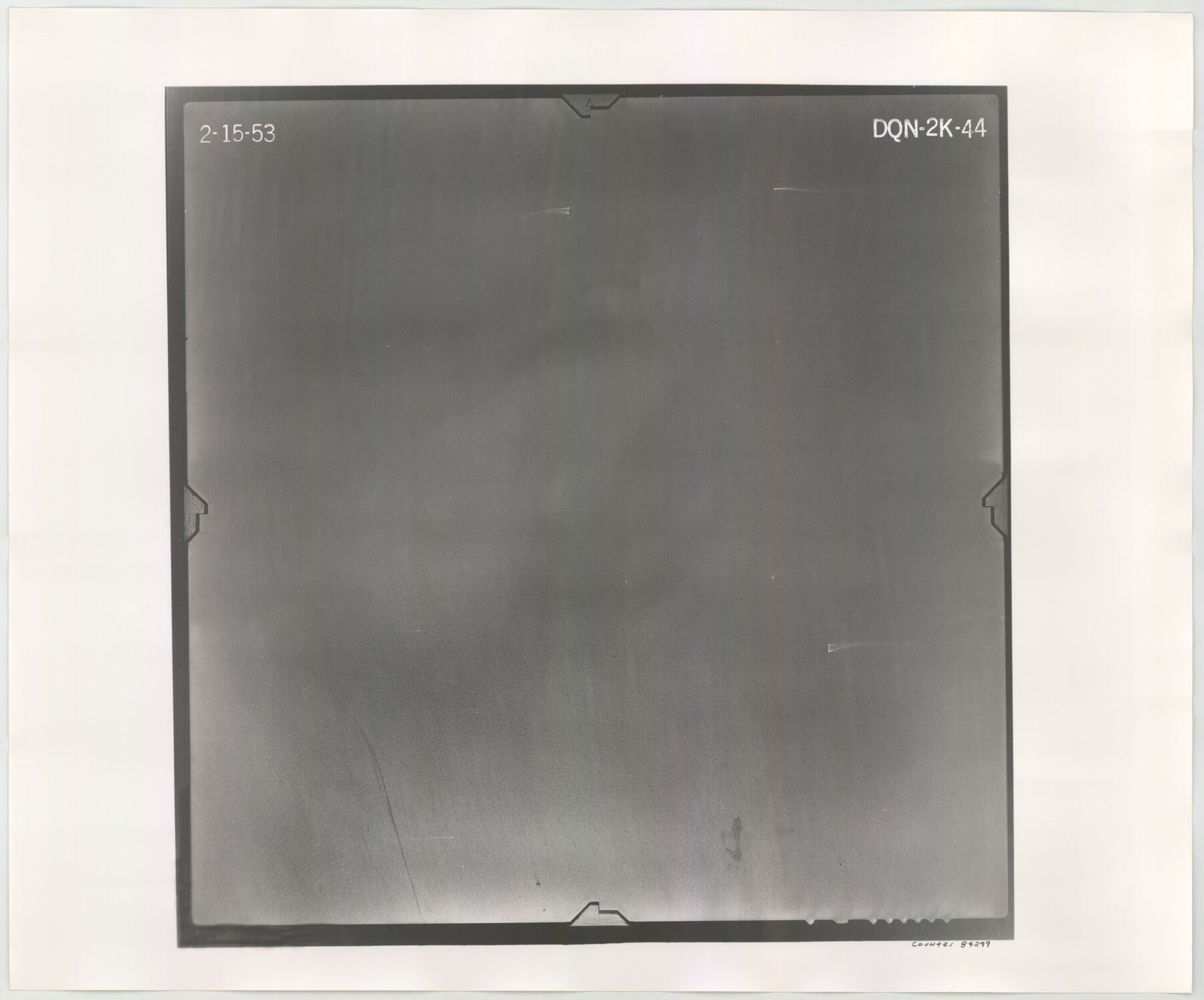
Flight Mission No. DQN-2K, Frame 44, Calhoun County
DQN-2K-44
-
Map/Doc
84249
-
Collection
General Map Collection
-
Object Dates
1953/2/15 (Creation Date)
-
People and Organizations
U. S. Department of Agriculture (Publisher)
-
Counties
Calhoun
-
Subjects
Aerial Photograph
-
Height x Width
18.4 x 22.1 inches
46.7 x 56.1 cm
-
Comments
Flown by Aero Exploration Company of Tulsa, Oklahoma.
Part of: General Map Collection
Caldwell County Working Sketch 9

Print $20.00
- Digital $50.00
Caldwell County Working Sketch 9
1968
Size 33.5 x 30.7 inches
Map/Doc 67839
Webb County Rolled Sketch 21

Print $20.00
- Digital $50.00
Webb County Rolled Sketch 21
1930
Size 32.9 x 23.0 inches
Map/Doc 8183
Upton County Rolled Sketch 39

Print $40.00
- Digital $50.00
Upton County Rolled Sketch 39
Size 53.4 x 44.1 inches
Map/Doc 10055
Burnet County Sketch File 5

Print $4.00
- Digital $50.00
Burnet County Sketch File 5
Size 6.9 x 8.0 inches
Map/Doc 16680
Cass County Working Sketch 25

Print $20.00
- Digital $50.00
Cass County Working Sketch 25
1974
Size 46.5 x 35.8 inches
Map/Doc 67928
Flight Mission No. CGI-1N, Frame 170, Cameron County

Print $20.00
- Digital $50.00
Flight Mission No. CGI-1N, Frame 170, Cameron County
1955
Size 18.5 x 22.1 inches
Map/Doc 84505
Webb County Rolled Sketch 45

Print $20.00
- Digital $50.00
Webb County Rolled Sketch 45
1942
Size 17.4 x 22.2 inches
Map/Doc 8200
Flight Mission No. CRC-3R, Frame 54, Chambers County

Print $20.00
- Digital $50.00
Flight Mission No. CRC-3R, Frame 54, Chambers County
1956
Size 18.7 x 22.4 inches
Map/Doc 84826
Presidio County Rolled Sketch 53

Print $20.00
- Digital $50.00
Presidio County Rolled Sketch 53
1911
Size 14.3 x 21.7 inches
Map/Doc 7345
Anderson County Working Sketch 33

Print $20.00
- Digital $50.00
Anderson County Working Sketch 33
1966
Size 30.8 x 29.9 inches
Map/Doc 67033
Rains County Working Sketch 4

Print $20.00
- Digital $50.00
Rains County Working Sketch 4
1919
Size 27.3 x 25.9 inches
Map/Doc 71830
Lampasas County Rolled Sketch 1

Print $20.00
- Digital $50.00
Lampasas County Rolled Sketch 1
1975
Size 22.0 x 28.2 inches
Map/Doc 6564
You may also like
Map of Menard County

Print $20.00
- Digital $50.00
Map of Menard County
1898
Size 19.9 x 43.1 inches
Map/Doc 5042
Jack County Boundary File 3a

Print $50.00
- Digital $50.00
Jack County Boundary File 3a
Size 8.7 x 7.4 inches
Map/Doc 55413
Fractional Township No. 8 South Range No. 2 East of the Indian Meridian, Indian Territory

Print $20.00
- Digital $50.00
Fractional Township No. 8 South Range No. 2 East of the Indian Meridian, Indian Territory
1898
Size 19.3 x 24.3 inches
Map/Doc 75204
Current Miscellaneous File 78

Print $22.00
- Digital $50.00
Current Miscellaneous File 78
1954
Size 10.7 x 8.4 inches
Map/Doc 74199
[Map of the River Sabine from its mouth on the Gulf of Mexico in the sea to Logan's Ferry in Latitude 31° 58' 24" North]
![94006, [Map of the River Sabine from its mouth on the Gulf of Mexico in the sea to Logan's Ferry in Latitude 31° 58' 24" North], General Map Collection](https://historictexasmaps.com/wmedia_w700/maps/94006.tif.jpg)
Print $20.00
- Digital $50.00
[Map of the River Sabine from its mouth on the Gulf of Mexico in the sea to Logan's Ferry in Latitude 31° 58' 24" North]
Size 37.7 x 31.6 inches
Map/Doc 94006

W. M. Kuykendall Ranch, Matagorda County, Texas

Print $20.00
- Digital $50.00
W. M. Kuykendall Ranch, Matagorda County, Texas
1926
Size 24.3 x 39.6 inches
Map/Doc 3028
Briscoe County Sketch File F

Print $40.00
- Digital $50.00
Briscoe County Sketch File F
1917
Size 20.9 x 19.3 inches
Map/Doc 76756
In the Supreme Court of the United States The State of Oklahoma, Complainant vs. The State of Texas, Defendant, The United States of America, Intervener - 1920

Print $20.00
- Digital $50.00
In the Supreme Court of the United States The State of Oklahoma, Complainant vs. The State of Texas, Defendant, The United States of America, Intervener - 1920
1920
Size 31.6 x 37.2 inches
Map/Doc 75115

Williamson County Working Sketch 12

Print $20.00
- Digital $50.00
Williamson County Working Sketch 12
1977
Size 37.0 x 35.0 inches
Map/Doc 72572
Map of east part of West Bay & SW part of Galveston Bay, Galveston County showing subdivision for mineral development

Print $40.00
- Digital $50.00
Map of east part of West Bay & SW part of Galveston Bay, Galveston County showing subdivision for mineral development
1963
Size 42.0 x 59.6 inches
Map/Doc 3069