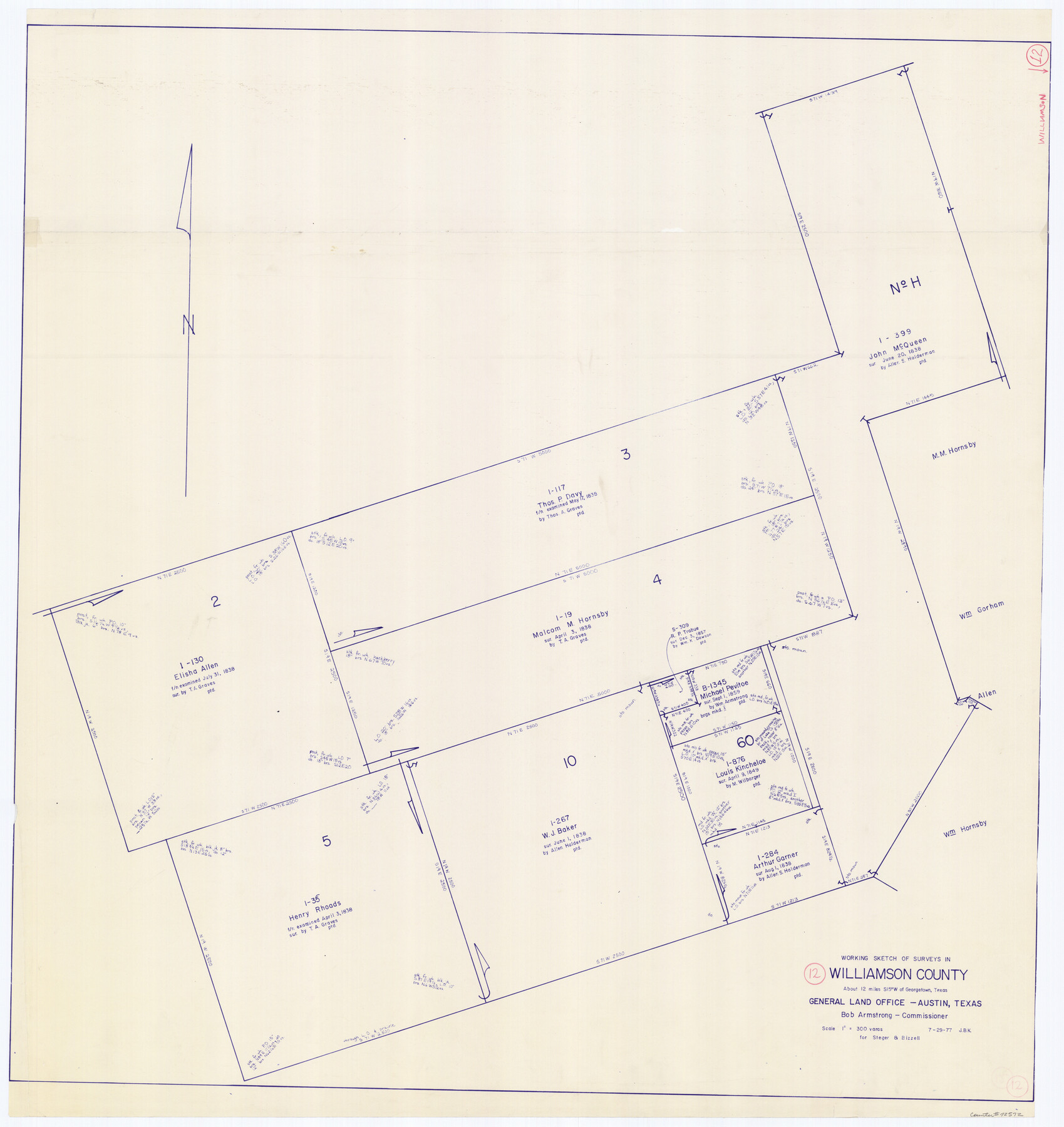
Williamson County Working Sketch 12
-
Map/Doc
72572
-
Collection
General Map Collection
-
Object Dates
7/29/1977 (Creation Date)
-
People and Organizations
Joan Kilpatrick (Draftsman)
-
Counties
Williamson
-
Subjects
Surveying Working Sketch
-
Height x Width
37.0 x 35.0 inches
94.0 x 88.9 cm
-
Scale
1" = 300 varas
Part of: General Map Collection
Crockett County Rolled Sketch 88O

Print $126.00
- Digital $50.00
Crockett County Rolled Sketch 88O
1973
Size 9.8 x 15.1 inches
Map/Doc 44158
Right of Way & Track Map, San Antonio & Aransas Pass Railway Co.

Print $40.00
- Digital $50.00
Right of Way & Track Map, San Antonio & Aransas Pass Railway Co.
1919
Size 25.0 x 56.7 inches
Map/Doc 64215
Medina County Rolled Sketch 14

Print $20.00
- Digital $50.00
Medina County Rolled Sketch 14
1980
Size 29.2 x 32.0 inches
Map/Doc 6748
Rockwall County Sketch File 1

Print $22.00
Rockwall County Sketch File 1
Size 14.5 x 16.1 inches
Map/Doc 35413
Zavala County Working Sketch 22

Print $40.00
- Digital $50.00
Zavala County Working Sketch 22
1980
Size 70.4 x 43.5 inches
Map/Doc 62097
Outer Continental Shelf Leasing Maps (Louisiana Offshore Operations)

Print $20.00
- Digital $50.00
Outer Continental Shelf Leasing Maps (Louisiana Offshore Operations)
1959
Size 17.9 x 13.8 inches
Map/Doc 76104
Rusk County Working Sketch 20b

Print $20.00
- Digital $50.00
Rusk County Working Sketch 20b
1955
Size 31.5 x 30.3 inches
Map/Doc 63656
Brazoria County

Print $20.00
- Digital $50.00
Brazoria County
1879
Size 27.0 x 25.1 inches
Map/Doc 4647
Callahan County Working Sketch 1

Print $20.00
- Digital $50.00
Callahan County Working Sketch 1
1939
Size 30.6 x 32.6 inches
Map/Doc 67883
Orange County Working Sketch 22

Print $20.00
- Digital $50.00
Orange County Working Sketch 22
1939
Size 35.8 x 35.5 inches
Map/Doc 71354
Stonewall County

Print $20.00
- Digital $50.00
Stonewall County
1933
Size 40.3 x 34.5 inches
Map/Doc 77428
J.H. Clark's Report of 1861 - Boundary Between Texas and New Mexico

Print $78.00
J.H. Clark's Report of 1861 - Boundary Between Texas and New Mexico
1861
Map/Doc 81689
You may also like
University Land Field Notes for Block 19 in Loving and Ward Counties, Block 20 in Loving, Ward, and Winkler Counties, Blocks 16 and 18 in Ward County, Block 17 in Ward and Winkler Counties, and Block 21 in Winkler County

University Land Field Notes for Block 19 in Loving and Ward Counties, Block 20 in Loving, Ward, and Winkler Counties, Blocks 16 and 18 in Ward County, Block 17 in Ward and Winkler Counties, and Block 21 in Winkler County
Map/Doc 81709
Edwards County Sketch File ECS

Print $6.00
- Digital $50.00
Edwards County Sketch File ECS
1937
Size 11.5 x 8.8 inches
Map/Doc 21774
Harris County Working Sketch 41

Print $20.00
- Digital $50.00
Harris County Working Sketch 41
1940
Size 37.8 x 29.9 inches
Map/Doc 65933
Archer County Working Sketch 2

Print $20.00
- Digital $50.00
Archer County Working Sketch 2
1907
Size 19.6 x 18.6 inches
Map/Doc 67142
Presidio County Working Sketch 67

Print $20.00
- Digital $50.00
Presidio County Working Sketch 67
1960
Size 36.2 x 36.5 inches
Map/Doc 71744
Webb County Working Sketch 46

Print $20.00
- Digital $50.00
Webb County Working Sketch 46
1947
Size 18.4 x 23.5 inches
Map/Doc 72411
[Surveys in Austin's Colony along Buffalo Bayou and the San Jacinto River]
![51, [Surveys in Austin's Colony along Buffalo Bayou and the San Jacinto River], General Map Collection](https://historictexasmaps.com/wmedia_w700/maps/51.tif.jpg)
Print $20.00
- Digital $50.00
[Surveys in Austin's Colony along Buffalo Bayou and the San Jacinto River]
1824
Size 23.7 x 17.6 inches
Map/Doc 51

[Texas & Pacific Railway through Callahan County]
![64238, [Texas & Pacific Railway through Callahan County], General Map Collection](https://historictexasmaps.com/wmedia_w700/maps/64238.tif.jpg)
Print $20.00
- Digital $50.00
[Texas & Pacific Railway through Callahan County]
1918
Size 22.4 x 9.4 inches
Map/Doc 64238
Seymour, Baylor County, Texas

Print $20.00
Seymour, Baylor County, Texas
1890
Size 15.4 x 24.2 inches
Map/Doc 89207
Railroad Track Map, H&TCRRCo., Falls County, Texas

Print $4.00
- Digital $50.00
Railroad Track Map, H&TCRRCo., Falls County, Texas
1918
Size 11.8 x 18.6 inches
Map/Doc 62836
Mills County Working Sketch 2

Print $20.00
- Digital $50.00
Mills County Working Sketch 2
1904
Size 12.7 x 15.8 inches
Map/Doc 71032