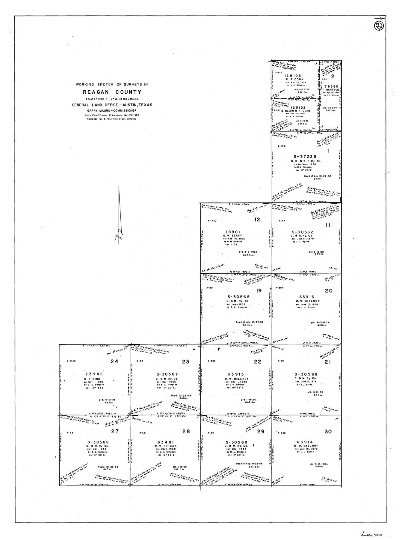
Reagan County Working Sketch 43
-
Map/Doc
71885
-
Collection
General Map Collection
-
Object Dates
5/29/1984 (Creation Date)
-
People and Organizations
Earl Alexander (Draftsman)
-
Counties
Reagan
-
Subjects
Surveying Working Sketch
-
Height x Width
36.4 x 27.1 inches
92.5 x 68.8 cm
-
Scale
1" = 400 varas
Part of: General Map Collection
Dimmit County Working Sketch 49

Print $40.00
- Digital $50.00
Dimmit County Working Sketch 49
1980
Size 78.8 x 44.7 inches
Map/Doc 68710
Map of San Saba County

Print $20.00
- Digital $50.00
Map of San Saba County
1887
Size 41.7 x 41.7 inches
Map/Doc 63020
Sketch B Showing the progress of Section No. 2

Print $20.00
- Digital $50.00
Sketch B Showing the progress of Section No. 2
1844
Size 25.3 x 27.7 inches
Map/Doc 97204
Loving County Working Sketch 18

Print $40.00
- Digital $50.00
Loving County Working Sketch 18
1978
Size 65.2 x 43.2 inches
Map/Doc 70652
Flight Mission No. DQO-8K, Frame 144, Galveston County

Print $20.00
- Digital $50.00
Flight Mission No. DQO-8K, Frame 144, Galveston County
1952
Size 18.7 x 22.5 inches
Map/Doc 85206
Cottle County Sketch File 8

Print $20.00
- Digital $50.00
Cottle County Sketch File 8
1894
Size 37.6 x 17.6 inches
Map/Doc 11192
Runnels County Working Sketch 11

Print $20.00
- Digital $50.00
Runnels County Working Sketch 11
1949
Size 24.6 x 25.2 inches
Map/Doc 63607
Irion County Working Sketch 12

Print $20.00
- Digital $50.00
Irion County Working Sketch 12
1968
Size 15.9 x 24.9 inches
Map/Doc 66421
Tyler County Working Sketch 23

Print $20.00
- Digital $50.00
Tyler County Working Sketch 23
1988
Size 28.2 x 22.8 inches
Map/Doc 69493
Hopkins County Sketch File 28

Print $20.00
- Digital $50.00
Hopkins County Sketch File 28
Size 24.8 x 34.0 inches
Map/Doc 11786
Aransas County Sketch File 14

Print $36.00
- Digital $50.00
Aransas County Sketch File 14
1891
Size 14.0 x 8.5 inches
Map/Doc 13128
Jeff Davis County Working Sketch 4

Print $20.00
- Digital $50.00
Jeff Davis County Working Sketch 4
1916
Size 14.3 x 15.2 inches
Map/Doc 66499
You may also like
[Sketch of part of G. & M. Block 5]
![93073, [Sketch of part of G. & M. Block 5], Twichell Survey Records](https://historictexasmaps.com/wmedia_w700/maps/93073-1.tif.jpg)
Print $2.00
- Digital $50.00
[Sketch of part of G. & M. Block 5]
Size 6.7 x 8.7 inches
Map/Doc 93073
Terrell County Rolled Sketch 49

Print $20.00
- Digital $50.00
Terrell County Rolled Sketch 49
1962
Size 17.3 x 24.1 inches
Map/Doc 7951
Bexar County Sketch File 43

Print $4.00
- Digital $50.00
Bexar County Sketch File 43
1882
Size 8.7 x 10.2 inches
Map/Doc 14522
Williamson County Sketch File 5a

Print $4.00
- Digital $50.00
Williamson County Sketch File 5a
1849
Size 12.8 x 8.1 inches
Map/Doc 40312
Map of Reeves County

Print $20.00
- Digital $50.00
Map of Reeves County
1892
Size 44.8 x 34.0 inches
Map/Doc 3983
Angelina County Sketch File 15h

Print $4.00
- Digital $50.00
Angelina County Sketch File 15h
1889
Size 10.0 x 8.0 inches
Map/Doc 12998
Crane County Sketch File 19

Print $4.00
- Digital $50.00
Crane County Sketch File 19
1927
Size 11.4 x 8.8 inches
Map/Doc 19584
Commemorative Poster: "Onward was the cry!" the 175th Anniversary of the Texas Revolution

Price $5.00
Commemorative Poster: "Onward was the cry!" the 175th Anniversary of the Texas Revolution
2011
Size 20.0 x 16.0 inches
Map/Doc 97132
Shelby County Working Sketch 28

Print $20.00
- Digital $50.00
Shelby County Working Sketch 28
2000
Size 28.8 x 29.8 inches
Map/Doc 63882
Flight Mission No. DQN-7K, Frame 10, Calhoun County

Print $20.00
- Digital $50.00
Flight Mission No. DQN-7K, Frame 10, Calhoun County
1953
Size 18.1 x 22.1 inches
Map/Doc 84461
Map of the Country Upon the Brazos and Big Wichita Rivers Embracing the Lands appropriated by the State of Texas for the Use of the Indians

Print $20.00
Map of the Country Upon the Brazos and Big Wichita Rivers Embracing the Lands appropriated by the State of Texas for the Use of the Indians
1854
Size 28.8 x 32.3 inches
Map/Doc 76284
[Map of Block 97, Borden and Scurry Co (Exhibit A); Map of Southeastern part of Young Territory; Map of part of of Borden, Fisher, Kent, Mitchell, Scurry and Garza Cos. Showing the north boundary line of the T&P 80 mile reservation]
![65692, [Map of Block 97, Borden and Scurry Co (Exhibit A); Map of Southeastern part of Young Territory; Map of part of of Borden, Fisher, Kent, Mitchell, Scurry and Garza Cos. Showing the north boundary line of the T&P 80 mile reservation], General Map Collection](https://historictexasmaps.com/wmedia_w700/maps/65692-1.tif.jpg)
Print $20.00
- Digital $50.00
[Map of Block 97, Borden and Scurry Co (Exhibit A); Map of Southeastern part of Young Territory; Map of part of of Borden, Fisher, Kent, Mitchell, Scurry and Garza Cos. Showing the north boundary line of the T&P 80 mile reservation]
1873
Size 33.4 x 29.6 inches
Map/Doc 65692