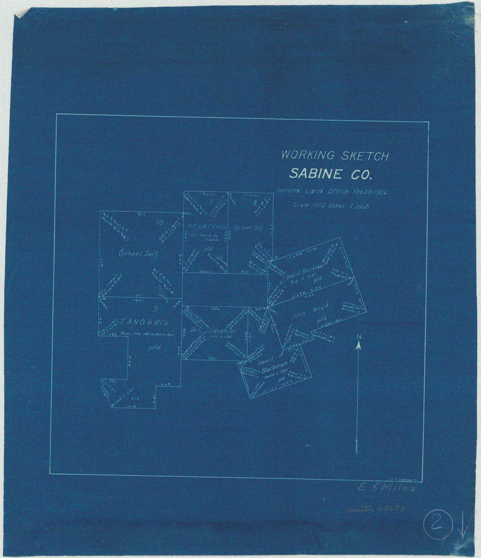
Sabine County Working Sketch 2
-
Map/Doc
63673
-
Collection
General Map Collection
-
Object Dates
2/20/1906 (Creation Date)
-
People and Organizations
Frank R. Sweeney (Draftsman)
-
Counties
Sabine
-
Subjects
Surveying Working Sketch
-
Height x Width
12.5 x 10.8 inches
31.8 x 27.4 cm
-
Scale
1" = 1000 varas
Part of: General Map Collection
Portion of States Submerged Area in Matagorda Bay

Print $20.00
- Digital $50.00
Portion of States Submerged Area in Matagorda Bay
1921
Size 15.7 x 15.1 inches
Map/Doc 2950
Montgomery County Sketch File 10

Print $4.00
- Digital $50.00
Montgomery County Sketch File 10
Size 16.2 x 9.2 inches
Map/Doc 31798
Flight Mission No. DCL-7C, Frame 41, Kenedy County

Print $20.00
- Digital $50.00
Flight Mission No. DCL-7C, Frame 41, Kenedy County
1943
Size 15.4 x 15.2 inches
Map/Doc 86029
McMullen County Rolled Sketch 15

Print $20.00
- Digital $50.00
McMullen County Rolled Sketch 15
1948
Size 30.9 x 25.9 inches
Map/Doc 6732
Houston Ship Channel, Alexander Island to Carpenter Bayou

Print $20.00
- Digital $50.00
Houston Ship Channel, Alexander Island to Carpenter Bayou
1975
Size 35.1 x 46.6 inches
Map/Doc 69911
Kimble County Working Sketch 94

Print $20.00
- Digital $50.00
Kimble County Working Sketch 94
1993
Size 28.3 x 33.7 inches
Map/Doc 70162
Flight Mission No. BQY-15M, Frame 13, Harris County

Print $20.00
- Digital $50.00
Flight Mission No. BQY-15M, Frame 13, Harris County
1953
Size 18.8 x 22.5 inches
Map/Doc 85311
Wilbarger County Working Sketch Graphic Index

Print $20.00
- Digital $50.00
Wilbarger County Working Sketch Graphic Index
1949
Size 46.7 x 38.0 inches
Map/Doc 76740
Presidio County Working Sketch 137

Print $20.00
- Digital $50.00
Presidio County Working Sketch 137
1990
Size 24.1 x 42.8 inches
Map/Doc 71815
Flight Mission No. CRE-1R, Frame 196, Jackson County

Print $20.00
- Digital $50.00
Flight Mission No. CRE-1R, Frame 196, Jackson County
1956
Size 18.6 x 22.4 inches
Map/Doc 85350
Travis County

Print $40.00
- Digital $50.00
Travis County
1936
Size 43.2 x 54.6 inches
Map/Doc 63078
Erath County Working Sketch 23

Print $20.00
- Digital $50.00
Erath County Working Sketch 23
1966
Size 38.2 x 29.0 inches
Map/Doc 69104
You may also like
Harris County Sketch File 100

Print $518.00
- Digital $50.00
Harris County Sketch File 100
1991
Size 11.5 x 8.8 inches
Map/Doc 25674
Henderson County Rolled Sketch 6

Print $20.00
- Digital $50.00
Henderson County Rolled Sketch 6
1962
Size 23.4 x 34.8 inches
Map/Doc 6202
Wichita County Working Sketch 12a

Print $20.00
- Digital $50.00
Wichita County Working Sketch 12a
1920
Size 20.2 x 14.1 inches
Map/Doc 72521
San Augustine County Working Sketch 2

Print $20.00
- Digital $50.00
San Augustine County Working Sketch 2
Size 28.5 x 19.1 inches
Map/Doc 63689
Brazoria County Sketch File 6a

Print $40.00
- Digital $50.00
Brazoria County Sketch File 6a
1862
Size 17.6 x 12.6 inches
Map/Doc 10949
General Highway Map. Detail of Cities and Towns in Erath County, Texas

Print $20.00
General Highway Map. Detail of Cities and Towns in Erath County, Texas
1961
Size 18.2 x 24.7 inches
Map/Doc 79461
Flight Mission No. CLL-1N, Frame 82, Willacy County

Print $20.00
- Digital $50.00
Flight Mission No. CLL-1N, Frame 82, Willacy County
1954
Size 18.3 x 22.1 inches
Map/Doc 87028
Kenedy County Boundary File 2a

Print $22.00
- Digital $50.00
Kenedy County Boundary File 2a
Size 14.7 x 40.9 inches
Map/Doc 55793
Roberts County Working Sketch 14

Print $20.00
- Digital $50.00
Roberts County Working Sketch 14
1975
Size 23.1 x 24.6 inches
Map/Doc 63540
Leon County Rolled Sketch 35

Print $20.00
- Digital $50.00
Leon County Rolled Sketch 35
2018
Size 30.7 x 21.3 inches
Map/Doc 95288
Hutchinson County Sketch File 37

Print $10.00
- Digital $50.00
Hutchinson County Sketch File 37
Size 11.3 x 8.8 inches
Map/Doc 27275
Flight Mission No. CLL-3N, Frame 8, Willacy County

Print $20.00
- Digital $50.00
Flight Mission No. CLL-3N, Frame 8, Willacy County
1954
Size 18.5 x 22.2 inches
Map/Doc 87074