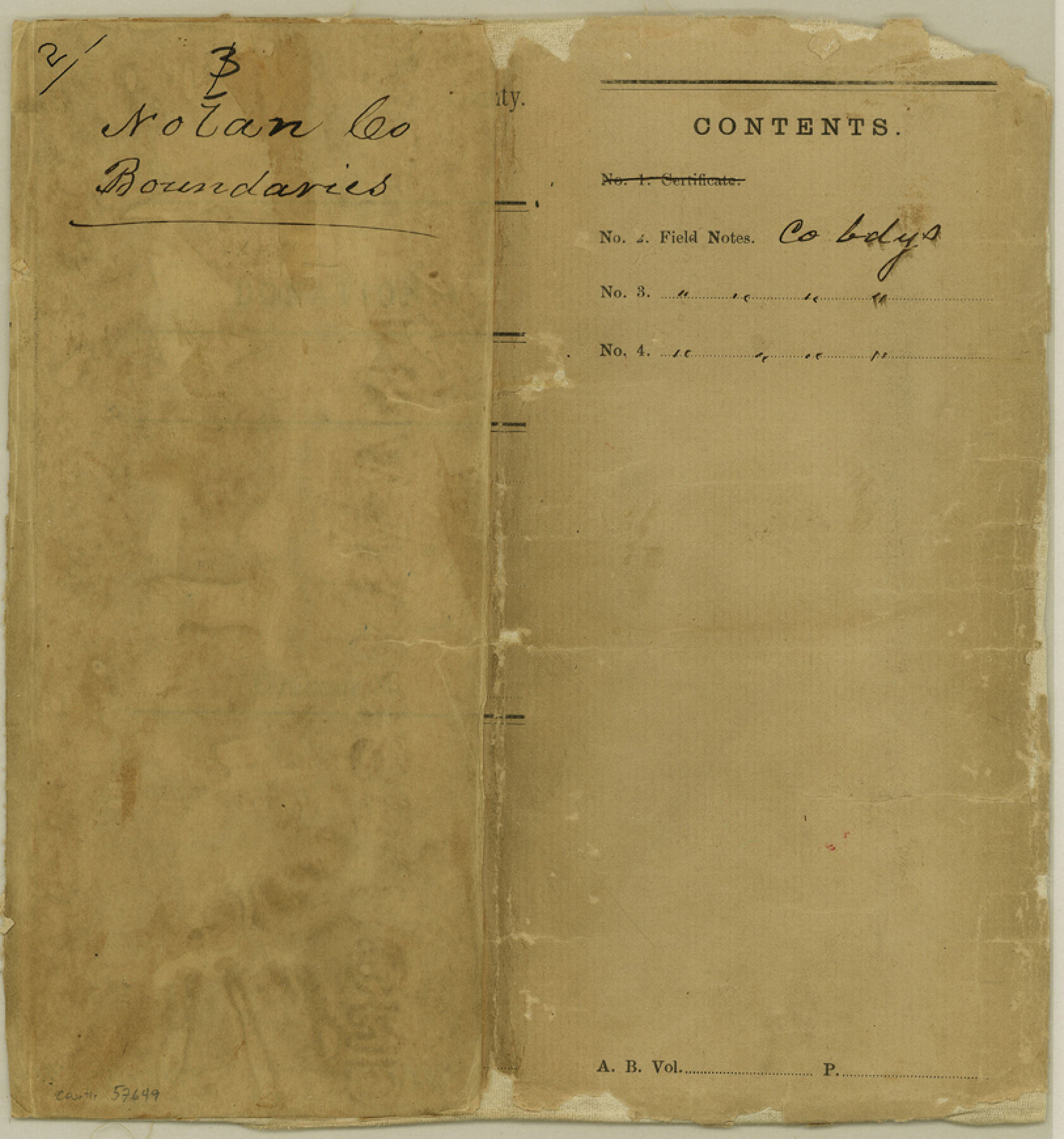
Nolan County Boundary File 2
-
Map/Doc
57649
-
Collection
General Map Collection
-
Counties
Nolan
-
Subjects
County Boundaries
-
Height x Width
8.7 x 8.1 inches
22.1 x 20.6 cm
Part of: General Map Collection
Val Verde County

Print $20.00
- Digital $50.00
Val Verde County
1944
Size 40.0 x 36.2 inches
Map/Doc 77445
Crockett County Sketch File 58

Print $20.00
- Digital $50.00
Crockett County Sketch File 58
1932
Size 17.9 x 23.2 inches
Map/Doc 11226

Morris County Rolled Sketch 2A

Print $20.00
- Digital $50.00
Morris County Rolled Sketch 2A
Size 24.0 x 18.7 inches
Map/Doc 10287
Starr County Working Sketch 17

Print $20.00
- Digital $50.00
Starr County Working Sketch 17
1982
Size 46.1 x 42.7 inches
Map/Doc 63933
Limestone County Working Sketch 8

Print $20.00
- Digital $50.00
Limestone County Working Sketch 8
1922
Size 30.6 x 18.4 inches
Map/Doc 70558
Rains County Boundary File 71

Print $6.00
- Digital $50.00
Rains County Boundary File 71
Size 8.7 x 3.5 inches
Map/Doc 58094
Harris County Rolled Sketch 82
Print $40.00
- Digital $50.00
Harris County Rolled Sketch 82
1956
Size 50.5 x 36.4 inches
Map/Doc 9138
Randall County Sketch File 11

Print $4.00
- Digital $50.00
Randall County Sketch File 11
1944
Size 3.4 x 5.7 inches
Map/Doc 34974
Taylor County Sketch File 19

Print $10.00
- Digital $50.00
Taylor County Sketch File 19
1945
Size 14.2 x 8.8 inches
Map/Doc 37816
[Sketch & Field Note Calls of Pecos, Terrell & Val Verde Counties, Texas]
![1720, [Sketch & Field Note Calls of Pecos, Terrell & Val Verde Counties, Texas], General Map Collection](https://historictexasmaps.com/wmedia_w700/pdf_converted_jpg/qi_pdf_thumbnail_734.jpg)
Print $20.00
- Digital $50.00
[Sketch & Field Note Calls of Pecos, Terrell & Val Verde Counties, Texas]
1915
Size 19.4 x 24.2 inches
Map/Doc 1720
Ward County Working Sketch 26

Print $20.00
- Digital $50.00
Ward County Working Sketch 26
1964
Size 38.2 x 24.5 inches
Map/Doc 72332
You may also like
Archer County Sketch File 25

Print $40.00
- Digital $50.00
Archer County Sketch File 25
Size 22.3 x 46.6 inches
Map/Doc 10348
Brewster County Rolled Sketch 78

Print $20.00
- Digital $50.00
Brewster County Rolled Sketch 78
1945
Size 19.8 x 28.0 inches
Map/Doc 5243
Medina County Rolled Sketch 14

Print $20.00
- Digital $50.00
Medina County Rolled Sketch 14
1980
Size 29.2 x 32.0 inches
Map/Doc 6748
Chart showing the positions of the lights in the Eighth L. H. District extending from the Perdido River, Florida to the Rio Grande, Texas

Print $20.00
- Digital $50.00
Chart showing the positions of the lights in the Eighth L. H. District extending from the Perdido River, Florida to the Rio Grande, Texas
1876
Size 25.0 x 18.3 inches
Map/Doc 72681
Map of Lampasas County

Print $40.00
- Digital $50.00
Map of Lampasas County
1900
Size 47.1 x 60.2 inches
Map/Doc 62971
Williamson County Sketch File 3

Print $24.00
- Digital $50.00
Williamson County Sketch File 3
1853
Size 13.0 x 8.2 inches
Map/Doc 40301
Kleberg County Rolled Sketch 10-41

Print $20.00
- Digital $50.00
Kleberg County Rolled Sketch 10-41
1952
Size 41.2 x 32.7 inches
Map/Doc 9385
Freestone County Sketch File 26

Print $22.00
- Digital $50.00
Freestone County Sketch File 26
1880
Size 8.2 x 13.2 inches
Map/Doc 23096
Hopkins County Working Sketch 5

Print $20.00
- Digital $50.00
Hopkins County Working Sketch 5
1960
Size 21.8 x 20.5 inches
Map/Doc 66230

Reeves County Working Sketch 35

Print $40.00
- Digital $50.00
Reeves County Working Sketch 35
1970
Size 41.5 x 55.7 inches
Map/Doc 63478
