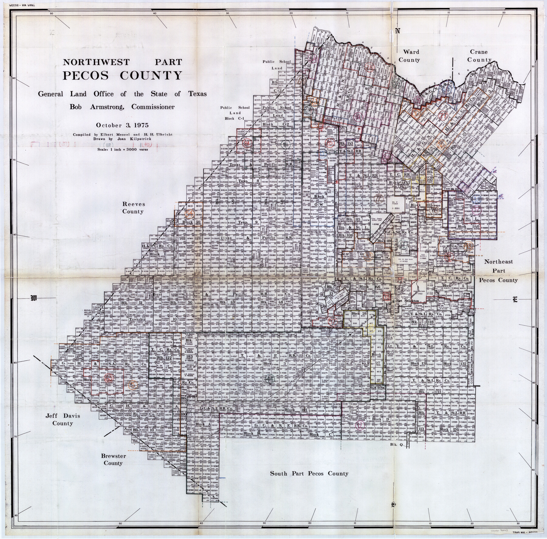
Pecos County Working Sketch Graphic index - northwest part - sheet A
-
Map/Doc
76663
-
Collection
General Map Collection
-
Object Dates
10/3/1975 (Creation Date)
-
People and Organizations
Elbert Menzel (Compiler)
Herbert H. Ulbricht (Compiler)
Joan Kilpatrick (Draftsman)
-
Counties
Pecos
-
Subjects
County Surveying Working Sketch
-
Height x Width
42.2 x 42.6 inches
107.2 x 108.2 cm
-
Scale
1" = 3000 varas
Part of: General Map Collection
Dawson County Working Sketch 7

Print $20.00
- Digital $50.00
Dawson County Working Sketch 7
1942
Size 15.3 x 26.1 inches
Map/Doc 68551
Ochiltree County Sketch File 1

Print $20.00
- Digital $50.00
Ochiltree County Sketch File 1
1888
Size 30.4 x 26.8 inches
Map/Doc 42201
Flight Mission No. DAG-14K, Frame 131, Matagorda County

Print $20.00
- Digital $50.00
Flight Mission No. DAG-14K, Frame 131, Matagorda County
1952
Size 18.5 x 22.3 inches
Map/Doc 86302
Limestone County Sketch File 10

Print $4.00
- Digital $50.00
Limestone County Sketch File 10
Size 8.4 x 9.4 inches
Map/Doc 30171
Flight Mission No. DQN-2K, Frame 162, Calhoun County

Print $20.00
- Digital $50.00
Flight Mission No. DQN-2K, Frame 162, Calhoun County
1953
Size 18.5 x 22.2 inches
Map/Doc 84324
Live Oak County Working Sketch 19

Print $20.00
- Digital $50.00
Live Oak County Working Sketch 19
1962
Size 27.4 x 34.5 inches
Map/Doc 70604
Flight Mission No. DQN-2K, Frame 49, Calhoun County

Print $20.00
- Digital $50.00
Flight Mission No. DQN-2K, Frame 49, Calhoun County
1953
Size 17.3 x 18.8 inches
Map/Doc 84254

Greer County Sketch File 7

Print $40.00
- Digital $50.00
Greer County Sketch File 7
Size 12.8 x 17.5 inches
Map/Doc 24526
Plan of the City of Austin

Print $40.00
- Digital $50.00
Plan of the City of Austin
1840
Size 54.0 x 38.9 inches
Map/Doc 2176
Mason County Working Sketch 12

Print $20.00
- Digital $50.00
Mason County Working Sketch 12
1951
Size 28.1 x 23.6 inches
Map/Doc 70848
Webb County Sketch File 12d

Print $20.00
- Digital $50.00
Webb County Sketch File 12d
1886
Size 17.0 x 17.9 inches
Map/Doc 12629
You may also like
C No. 3 - Sea Coast of Delaware, Maryland, and part of Virginia

Print $20.00
- Digital $50.00
C No. 3 - Sea Coast of Delaware, Maryland, and part of Virginia
1852
Size 30.4 x 22.2 inches
Map/Doc 97207
Nueces County Rolled Sketch 13

Print $20.00
- Digital $50.00
Nueces County Rolled Sketch 13
Size 22.1 x 28.9 inches
Map/Doc 6870
Gray County Boundary File 3a

Print $4.00
- Digital $50.00
Gray County Boundary File 3a
Size 14.2 x 8.8 inches
Map/Doc 53874
General Highway Map Bailey County, Texas

Print $20.00
- Digital $50.00
General Highway Map Bailey County, Texas
1948
Size 18.7 x 25.8 inches
Map/Doc 92533
Pecos County Sketch File 22

Print $20.00
- Digital $50.00
Pecos County Sketch File 22
1886
Size 14.0 x 8.8 inches
Map/Doc 33670
Flight Mission No. CRK-8P, Frame 105, Refugio County

Print $20.00
- Digital $50.00
Flight Mission No. CRK-8P, Frame 105, Refugio County
1956
Size 18.2 x 22.0 inches
Map/Doc 86966
West End Place Part of NW Quarter Section 44, Block AK

Print $20.00
- Digital $50.00
West End Place Part of NW Quarter Section 44, Block AK
Size 16.0 x 16.4 inches
Map/Doc 92346
Brooks County Working Sketch 1

Print $3.00
- Digital $50.00
Brooks County Working Sketch 1
Size 9.1 x 9.3 inches
Map/Doc 67785
Sherman County Sketch File 2

Print $20.00
- Digital $50.00
Sherman County Sketch File 2
Size 19.5 x 36.3 inches
Map/Doc 12323
Louisiana and Texas Intracoastal Waterway - Matagorda Bay to San Antonio Bay Dredging - Sheet 2

Print $20.00
- Digital $50.00
Louisiana and Texas Intracoastal Waterway - Matagorda Bay to San Antonio Bay Dredging - Sheet 2
1938
Size 31.0 x 41.2 inches
Map/Doc 61815
Travis County Appraisal District Plat Map 2_1709

Print $20.00
- Digital $50.00
Travis County Appraisal District Plat Map 2_1709
Size 21.6 x 26.5 inches
Map/Doc 94210
