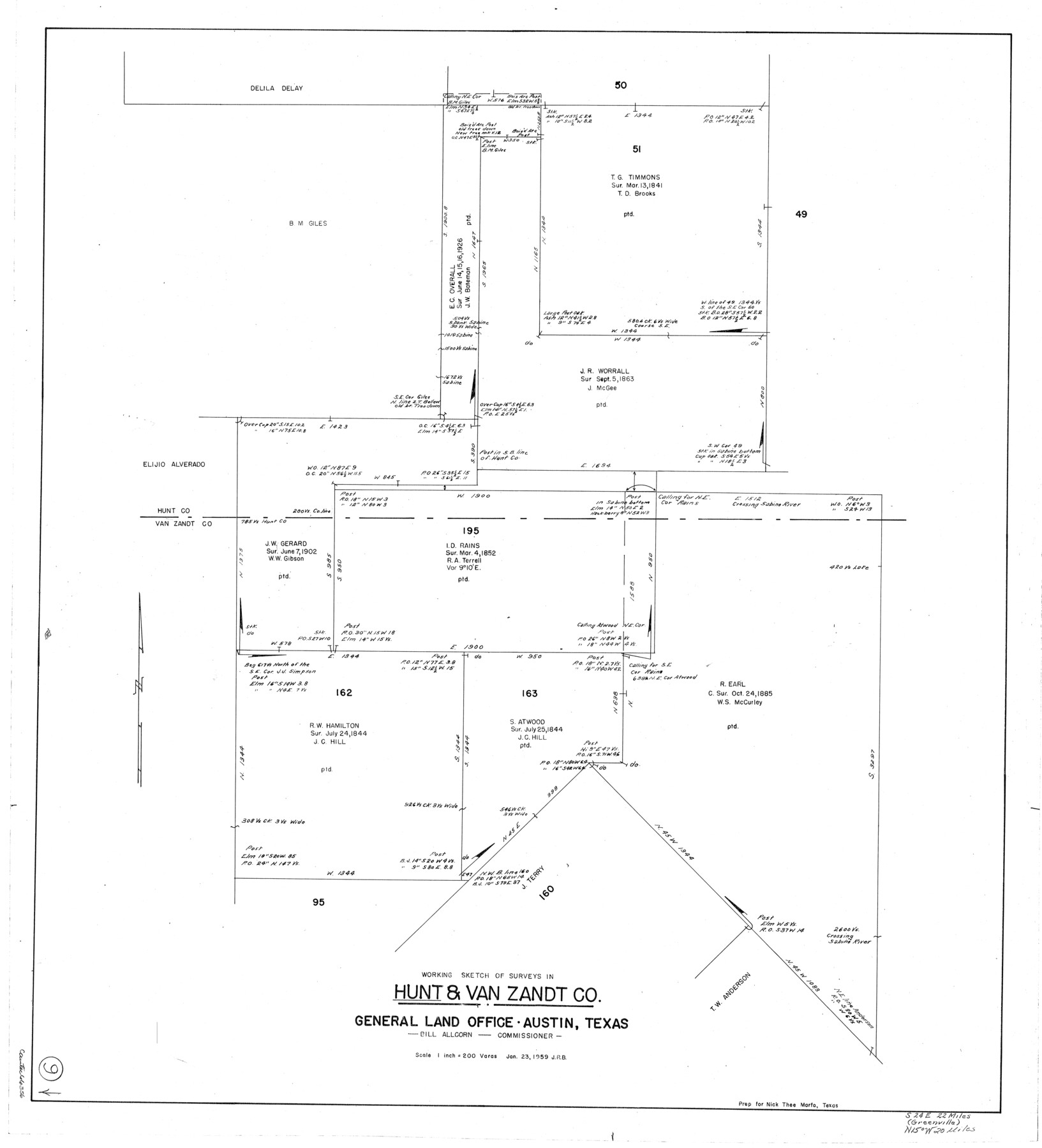
Hunt County Working Sketch 9
-
Map/Doc
66356
-
Collection
General Map Collection
-
Object Dates
1/23/1959 (Creation Date)
-
Counties
Hunt Van Zandt
-
Subjects
Surveying Working Sketch
-
Height x Width
33.8 x 30.6 inches
85.9 x 77.7 cm
-
Scale
1" = 200 varas
Part of: General Map Collection
El Paso County Sketch File 16

Print $20.00
- Digital $50.00
El Paso County Sketch File 16
1885
Size 31.0 x 36.0 inches
Map/Doc 10446
Williamson County Working Sketch 19

Print $20.00
- Digital $50.00
Williamson County Working Sketch 19
1991
Size 31.2 x 40.0 inches
Map/Doc 72579
Orange County Sketch File 44

Print $4.00
- Digital $50.00
Orange County Sketch File 44
1895
Size 10.9 x 8.8 inches
Map/Doc 33387
Parker County

Print $20.00
- Digital $50.00
Parker County
1942
Size 42.4 x 35.5 inches
Map/Doc 77391
General Chart of the Coast No. XVI - Gulf Coast from Galveston to the Rio Grande

Print $20.00
- Digital $50.00
General Chart of the Coast No. XVI - Gulf Coast from Galveston to the Rio Grande
1883
Size 26.8 x 18.1 inches
Map/Doc 72737

Schleicher County Working Sketch 8

Print $20.00
- Digital $50.00
Schleicher County Working Sketch 8
1923
Size 21.6 x 18.6 inches
Map/Doc 63810
Travis County Rolled Sketch 30

Print $20.00
- Digital $50.00
Travis County Rolled Sketch 30
1943
Size 26.5 x 25.6 inches
Map/Doc 8032
Galveston County NRC Article 33.136 Sketch 73

Print $28.00
- Digital $50.00
Galveston County NRC Article 33.136 Sketch 73
2013
Size 31.7 x 24.0 inches
Map/Doc 94995
Flight Mission No. BQY-15M, Frame 18, Harris County

Print $20.00
- Digital $50.00
Flight Mission No. BQY-15M, Frame 18, Harris County
1953
Size 18.6 x 22.5 inches
Map/Doc 85316
Castro County Sketch File 8

Print $20.00
- Digital $50.00
Castro County Sketch File 8
1908
Size 27.2 x 24.0 inches
Map/Doc 11060
Tom Green County Sketch File 68

Print $20.00
- Digital $50.00
Tom Green County Sketch File 68
1913
Size 30.8 x 41.5 inches
Map/Doc 10406
You may also like
Lubbock County Sketch File 2

Print $4.00
- Digital $50.00
Lubbock County Sketch File 2
Size 4.7 x 9.2 inches
Map/Doc 30418
Harris County Sketch File 15

Print $4.00
- Digital $50.00
Harris County Sketch File 15
Size 8.0 x 8.9 inches
Map/Doc 25359
Hill County Boundary File 1

Print $20.00
- Digital $50.00
Hill County Boundary File 1
Size 12.8 x 8.3 inches
Map/Doc 54722
Brewster County Rolled Sketch 22A

Print $20.00
- Digital $50.00
Brewster County Rolled Sketch 22A
1910
Size 33.0 x 24.8 inches
Map/Doc 5202
Collin County Boundary File 1

Print $8.00
- Digital $50.00
Collin County Boundary File 1
Size 12.7 x 8.1 inches
Map/Doc 51678

Borden County Boundary File 3

Print $62.00
- Digital $50.00
Borden County Boundary File 3
1908
Size 28.7 x 82.9 inches
Map/Doc 1695
Texas Oil and Gas Fields and Truck Pipe Line Systems

Print $20.00
Texas Oil and Gas Fields and Truck Pipe Line Systems
1926
Size 21.7 x 30.8 inches
Map/Doc 79327
Austin County Sketch File 6b

Print $50.00
- Digital $50.00
Austin County Sketch File 6b
1894
Size 11.3 x 8.6 inches
Map/Doc 13872
Foard County Sketch File 30

Print $6.00
- Digital $50.00
Foard County Sketch File 30
Size 9.1 x 8.2 inches
Map/Doc 22858
Hardin County Working Sketch 3

Print $3.00
- Digital $50.00
Hardin County Working Sketch 3
1906
Size 9.1 x 11.0 inches
Map/Doc 63401
Roberts County Working Sketch 4

Print $20.00
- Digital $50.00
Roberts County Working Sketch 4
1945
Size 37.1 x 32.8 inches
Map/Doc 63530