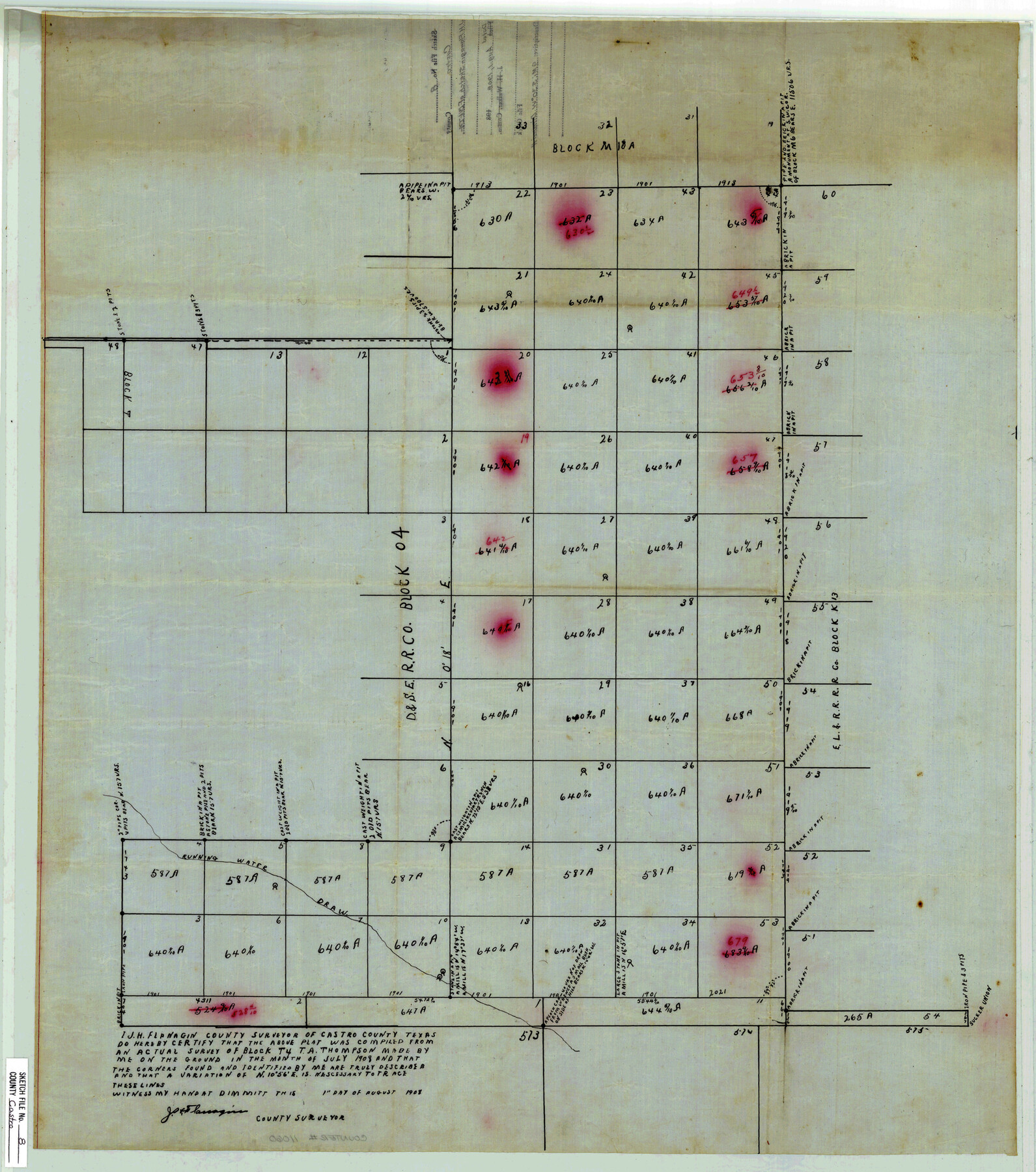
Castro County Sketch File 8
[Sketch of Block T4, T.A. Thomson]
-
Map/Doc
11060
-
Collection
General Map Collection
-
Object Dates
1908/8/1 (Creation Date)
1908 (Survey Date)
-
People and Organizations
J.H. Flanagin (Surveyor/Engineer)
-
Counties
Castro
-
Subjects
Surveying Sketch File
-
Height x Width
27.2 x 24.0 inches
69.1 x 61.0 cm
-
Medium
paper, manuscript
-
Features
Running Water Draw
Related maps
Castro County Sketch File 9

Print $4.00
- Digital $50.00
Castro County Sketch File 9
1908
Size 11.2 x 8.6 inches
Map/Doc 17499
Part of: General Map Collection
Pecos County Sketch File 85

Print $19.00
- Digital $50.00
Pecos County Sketch File 85
1948
Size 14.6 x 9.2 inches
Map/Doc 33955
Hardin County Sketch File XYZ

Print $4.00
- Digital $50.00
Hardin County Sketch File XYZ
1894
Size 11.3 x 8.7 inches
Map/Doc 25073
La Salle County

Print $20.00
- Digital $50.00
La Salle County
1923
Size 47.5 x 42.5 inches
Map/Doc 73215
Map of Duval County

Print $20.00
- Digital $50.00
Map of Duval County
1876
Size 29.6 x 21.5 inches
Map/Doc 3498
Foard County Sketch File 14

Print $4.00
- Digital $50.00
Foard County Sketch File 14
1885
Size 14.4 x 8.8 inches
Map/Doc 22819
Newton County Working Sketch 36

Print $20.00
- Digital $50.00
Newton County Working Sketch 36
1960
Size 29.9 x 39.1 inches
Map/Doc 71282
Lubbock County Sketch File 14

Print $4.00
- Digital $50.00
Lubbock County Sketch File 14
1892
Size 11.2 x 8.9 inches
Map/Doc 30438
[Surveys in the Nacogdoches District, Rusk County]
![339, [Surveys in the Nacogdoches District, Rusk County], General Map Collection](https://historictexasmaps.com/wmedia_w700/maps/339.tif.jpg)
Print $2.00
- Digital $50.00
[Surveys in the Nacogdoches District, Rusk County]
Size 6.0 x 8.2 inches
Map/Doc 339
Flight Mission No. DCL-7C, Frame 8, Kenedy County

Print $20.00
- Digital $50.00
Flight Mission No. DCL-7C, Frame 8, Kenedy County
1943
Size 15.4 x 15.2 inches
Map/Doc 86000
Nueces County Sketch File 25

Print $14.00
- Digital $50.00
Nueces County Sketch File 25
1876
Size 8.7 x 6.3 inches
Map/Doc 32572
Montgomery County Working Sketch 44

Print $20.00
- Digital $50.00
Montgomery County Working Sketch 44
1956
Size 31.7 x 23.2 inches
Map/Doc 71151
Controlled Mosaic by Jack Amman Photogrammetric Engineers, Inc - Sheet 19

Print $20.00
- Digital $50.00
Controlled Mosaic by Jack Amman Photogrammetric Engineers, Inc - Sheet 19
1954
Size 20.0 x 24.0 inches
Map/Doc 83464
You may also like
[Surveys along Richland Creek]
![322, [Surveys along Richland Creek], General Map Collection](https://historictexasmaps.com/wmedia_w700/maps/322.tif.jpg)
Print $2.00
- Digital $50.00
[Surveys along Richland Creek]
Size 6.0 x 5.0 inches
Map/Doc 322
Hays County Rolled Sketch 27

Print $20.00
- Digital $50.00
Hays County Rolled Sketch 27
1948
Size 34.0 x 43.0 inches
Map/Doc 9149
[Jack District Map]
![1991, [Jack District Map], General Map Collection](https://historictexasmaps.com/wmedia_w700/maps/1991.tif.jpg)
Print $20.00
- Digital $50.00
[Jack District Map]
1877
Size 46.4 x 35.8 inches
Map/Doc 1991
Map of Zapata County

Print $20.00
- Digital $50.00
Map of Zapata County
1880
Size 27.1 x 25.7 inches
Map/Doc 4177
Working Sketch Crockett County

Print $20.00
- Digital $50.00
Working Sketch Crockett County
1924
Size 33.3 x 37.6 inches
Map/Doc 90318
Flight Mission No. DQN-2K, Frame 191, Calhoun County

Print $20.00
- Digital $50.00
Flight Mission No. DQN-2K, Frame 191, Calhoun County
1953
Size 18.8 x 22.4 inches
Map/Doc 84332
Kinney County Working Sketch 2

Print $20.00
- Digital $50.00
Kinney County Working Sketch 2
1886
Size 20.0 x 20.4 inches
Map/Doc 70184
Map of Town Tract of Refugio

Print $20.00
- Digital $50.00
Map of Town Tract of Refugio
1879
Size 25.4 x 24.5 inches
Map/Doc 4829
Brooks County Working Sketch 16

Print $20.00
- Digital $50.00
Brooks County Working Sketch 16
1972
Size 35.0 x 29.7 inches
Map/Doc 67800
General Highway Map, Kaufman County, Texas

Print $20.00
General Highway Map, Kaufman County, Texas
1961
Size 24.9 x 18.1 inches
Map/Doc 79548
Brown County Working Sketch 3

Print $20.00
- Digital $50.00
Brown County Working Sketch 3
1919
Size 29.1 x 21.5 inches
Map/Doc 67768
[Sketch showing I. & G. N. Block 8]
![91715, [Sketch showing I. & G. N. Block 8], Twichell Survey Records](https://historictexasmaps.com/wmedia_w700/maps/91715-1.tif.jpg)
Print $2.00
- Digital $50.00
[Sketch showing I. & G. N. Block 8]
1919
Size 7.7 x 10.3 inches
Map/Doc 91715