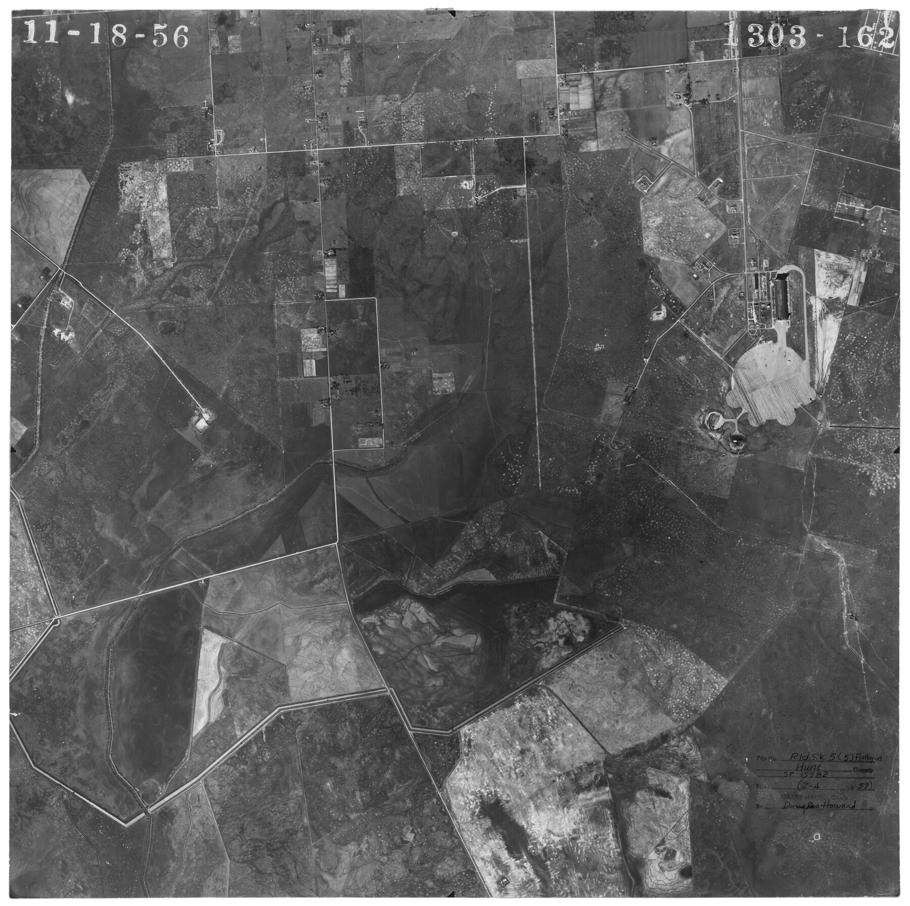
Hunt County Rolled Sketch 5
[Aerial photo relating to SF-15982]
-
Map/Doc
6272
-
Collection
General Map Collection
-
Object Dates
11/18/1956 (Creation Date)
2/4/1959 (File Date)
-
Counties
Hunt
-
Subjects
Surveying Rolled Sketch
-
Height x Width
22.9 x 23.0 inches
58.2 x 58.4 cm
-
Medium
photograph
Part of: General Map Collection
Colorado River, Wharton Sheet

Print $6.00
- Digital $50.00
Colorado River, Wharton Sheet
1941
Size 27.3 x 35.7 inches
Map/Doc 65314
Maps of Gulf Intracoastal Waterway, Texas - Sabine River to the Rio Grande and connecting waterways including ship channels

Print $20.00
- Digital $50.00
Maps of Gulf Intracoastal Waterway, Texas - Sabine River to the Rio Grande and connecting waterways including ship channels
1966
Size 14.3 x 20.8 inches
Map/Doc 61994
Flight Mission No. DQN-6K, Frame 3, Calhoun County

Print $20.00
- Digital $50.00
Flight Mission No. DQN-6K, Frame 3, Calhoun County
1953
Size 18.3 x 22.1 inches
Map/Doc 84425

Kleberg County Aerial Photograph Index Sheet 2

Print $20.00
- Digital $50.00
Kleberg County Aerial Photograph Index Sheet 2
1956
Size 19.4 x 23.4 inches
Map/Doc 83719
Presidio County Working Sketch 120

Print $20.00
- Digital $50.00
Presidio County Working Sketch 120
1984
Size 34.6 x 28.9 inches
Map/Doc 71797
Roberts County Boundary File 2a

Print $10.00
- Digital $50.00
Roberts County Boundary File 2a
Size 9.5 x 6.4 inches
Map/Doc 58339
Map of the Passo Cavallo on the entrance into Matagorda Bay from the Gulf of Mexico

Print $20.00
- Digital $50.00
Map of the Passo Cavallo on the entrance into Matagorda Bay from the Gulf of Mexico
1839
Size 18.4 x 26.9 inches
Map/Doc 72764
Chambers County Sketch File 39

Print $52.00
- Digital $50.00
Chambers County Sketch File 39
Size 11.0 x 6.6 inches
Map/Doc 17652
Flight Mission No. BRE-2G, Frame 118, Nueces County

Print $20.00
- Digital $50.00
Flight Mission No. BRE-2G, Frame 118, Nueces County
1950
Size 18.4 x 18.2 inches
Map/Doc 86623
Flight Mission No. DQN-7K, Frame 37, Calhoun County

Print $20.00
- Digital $50.00
Flight Mission No. DQN-7K, Frame 37, Calhoun County
1953
Size 18.4 x 22.1 inches
Map/Doc 84475

You may also like
Haskell County

Print $20.00
- Digital $50.00
Haskell County
1888
Size 41.4 x 33.9 inches
Map/Doc 399
La Salle County Rolled Sketch 3

Print $20.00
- Digital $50.00
La Salle County Rolled Sketch 3
1937
Size 32.6 x 38.9 inches
Map/Doc 6568
Harrison County Sketch File 9

Print $4.00
- Digital $50.00
Harrison County Sketch File 9
1862
Size 8.3 x 11.1 inches
Map/Doc 26048
Map of the United States showing the Texas & Pacific Railway and its connections

Print $20.00
- Digital $50.00
Map of the United States showing the Texas & Pacific Railway and its connections
1875
Size 11.9 x 16.8 inches
Map/Doc 93960
Gray County Sketch File B3

Print $8.00
- Digital $50.00
Gray County Sketch File B3
1880
Size 13.0 x 8.5 inches
Map/Doc 24411
[Map of Texas and Pacific Blocks from Brazos River westward through Palo Pinto, Stephens, Shackelford, Jones, Callahan, Taylor, Fisher, Nolan and Mitchell Counties]
![64510, [Map of Texas and Pacific Blocks from Brazos River westward through Palo Pinto, Stephens, Shackelford, Jones, Callahan, Taylor, Fisher, Nolan and Mitchell Counties], General Map Collection](https://historictexasmaps.com/wmedia_w700/maps/64510-1.tif.jpg)
Print $20.00
- Digital $50.00
[Map of Texas and Pacific Blocks from Brazos River westward through Palo Pinto, Stephens, Shackelford, Jones, Callahan, Taylor, Fisher, Nolan and Mitchell Counties]
Size 35.5 x 19.0 inches
Map/Doc 64510
Tyler County Sketch File 2a

Print $11.00
- Digital $50.00
Tyler County Sketch File 2a
1851
Size 8.3 x 7.8 inches
Map/Doc 38617
Dépt. des Ardennes

Print $20.00
- Digital $50.00
Dépt. des Ardennes
Size 14.5 x 20.5 inches
Map/Doc 94448
Amérique Septentrionale

Print $20.00
- Digital $50.00
Amérique Septentrionale
1845
Size 14.2 x 21.0 inches
Map/Doc 93780
San Patricio County NRC Article 33.136 Sketch 1

Print $32.00
- Digital $50.00
San Patricio County NRC Article 33.136 Sketch 1
2001
Size 18.5 x 24.1 inches
Map/Doc 61623
Flight Mission No. DAG-17K, Frame 64, Matagorda County

Print $20.00
- Digital $50.00
Flight Mission No. DAG-17K, Frame 64, Matagorda County
1952
Size 16.5 x 16.4 inches
Map/Doc 86326
Hansford County

Print $20.00
- Digital $50.00
Hansford County
1932
Size 39.6 x 38.5 inches
Map/Doc 77301