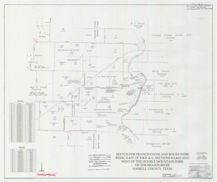
Haskell County Rolled Sketch 17
2007
Stonewall County Sketch File 31
2001
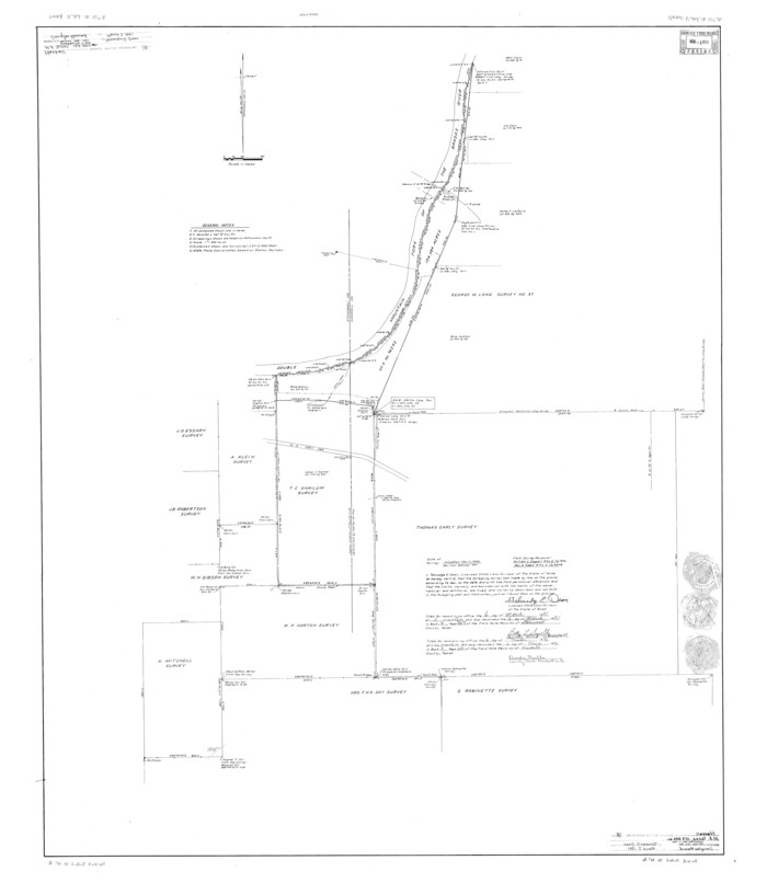
Haskell County Rolled Sketch 16
1991

Haskell County Rolled Sketch 14
1991

Haskell County Rolled Sketch 13
1991
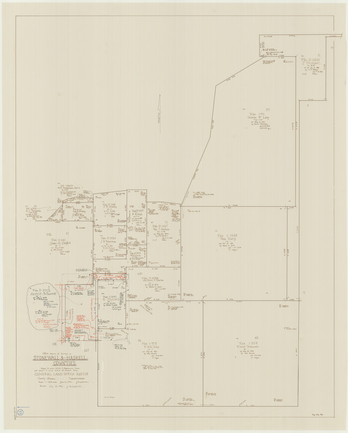
Stonewall County Working Sketch 35
1991

Haskell County Working Sketch 16
1986
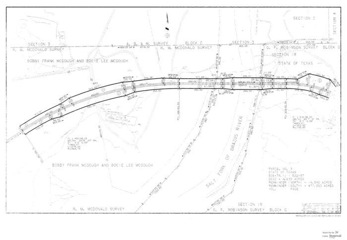
Stonewall County Sketch File 30
1986

Stonewall County Working Sketch 34
1985

Stonewall County Working Sketch 33
1984
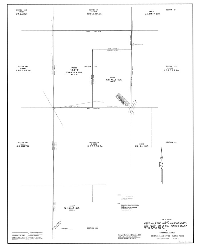
Stonewall County Rolled Sketch 35
1983

Stonewall County Working Sketch 32
1983
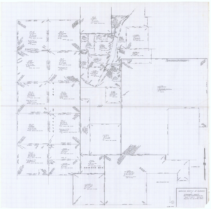
Stonewall County Working Sketch 31
1983
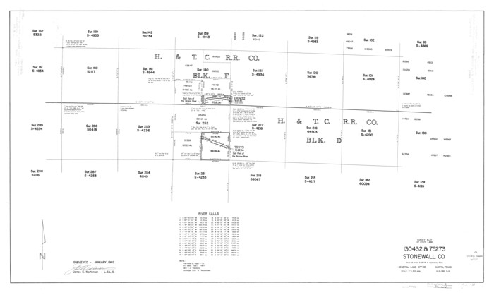
Stonewall County Rolled Sketch 31
1982

Stonewall County Working Sketch 30
1982

Stonewall County Working Sketch 29
1979
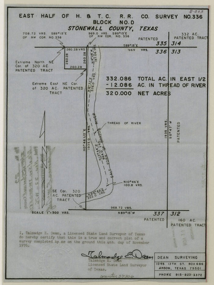
Stonewall County Sketch File 29
1976

Stonewall County Working Sketch 28
1976

Stonewall County Working Sketch 27
1976
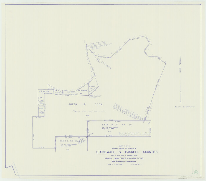
Stonewall County Working Sketch 24
1973

Stonewall County Working Sketch 25
1973
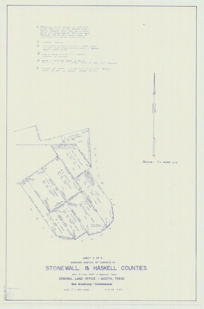
Stonewall County Working Sketch 26
1973

Stonewall County Sketch File 28
1970
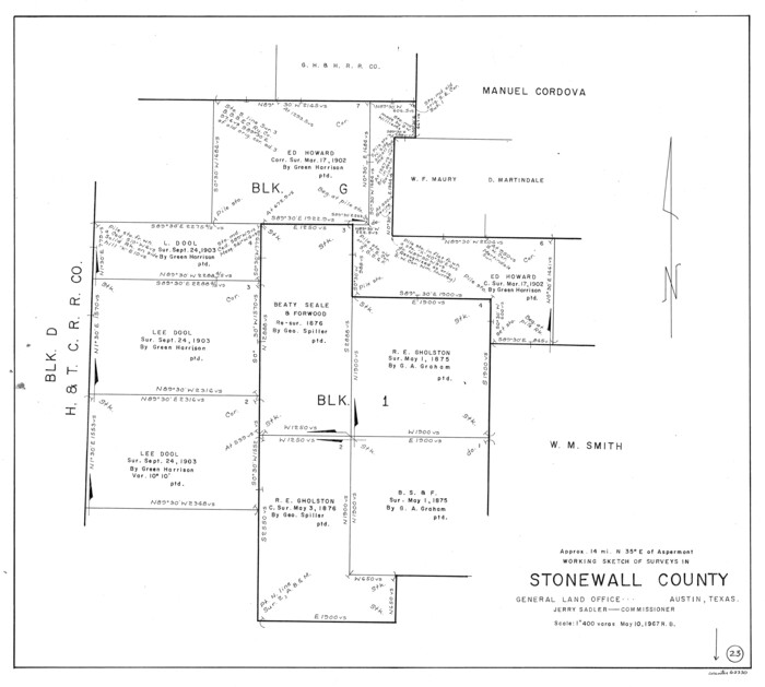
Stonewall County Working Sketch 23
1967

Stonewall County Working Sketch 22
1966

Stonewall County Working Sketch 21
1961
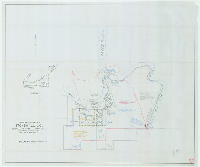
Stonewall County Working Sketch 20
1961

General Highway Map, Stonewall County, Texas
1961

Flight Mission No. CON-2R, Frame 94, Stonewall County
1957
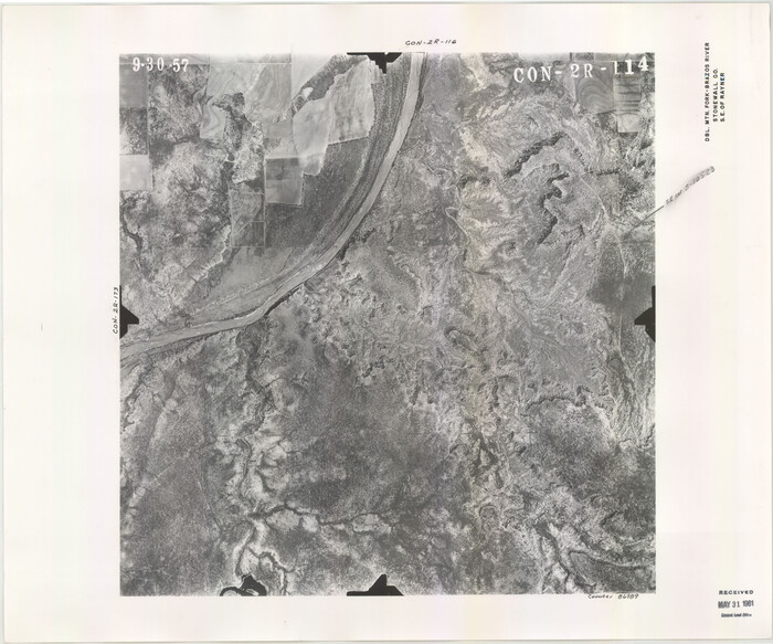
Flight Mission No. CON-2R, Frame 114, Stonewall County
1957

Haskell County Rolled Sketch 17
2007
-
Size
30.0 x 36.0 inches
-
Map/Doc
88819
-
Creation Date
2007

Stonewall County Sketch File 31
2001
-
Size
11.3 x 8.9 inches
-
Map/Doc
37308
-
Creation Date
2001

Haskell County Rolled Sketch 16
1991
-
Size
45.3 x 39.4 inches
-
Map/Doc
9148
-
Creation Date
1991

Haskell County Rolled Sketch 14
1991
-
Size
11.1 x 17.1 inches
-
Map/Doc
6172
-
Creation Date
1991

Haskell County Rolled Sketch 13
1991
-
Size
11.0 x 17.1 inches
-
Map/Doc
6171
-
Creation Date
1991

Stonewall County Working Sketch 35
1991
-
Size
41.1 x 33.0 inches
-
Map/Doc
62342
-
Creation Date
1991

Haskell County Working Sketch 16
1986
-
Size
37.9 x 47.3 inches
-
Map/Doc
66074
-
Creation Date
1986

Stonewall County Sketch File 30
1986
-
Size
24.5 x 35.3 inches
-
Map/Doc
12370
-
Creation Date
1986

Stonewall County Working Sketch 34
1985
-
Size
34.0 x 33.9 inches
-
Map/Doc
62341
-
Creation Date
1985

Stonewall County Working Sketch 33
1984
-
Size
70.4 x 42.8 inches
-
Map/Doc
62340
-
Creation Date
1984

Stonewall County Rolled Sketch 35
1983
-
Size
42.7 x 34.5 inches
-
Map/Doc
9971
-
Creation Date
1983

Stonewall County Working Sketch 32
1983
-
Size
27.9 x 36.2 inches
-
Map/Doc
62339
-
Creation Date
1983

Stonewall County Working Sketch 31
1983
-
Size
42.6 x 42.9 inches
-
Map/Doc
62338
-
Creation Date
1983

Stonewall County Rolled Sketch 31
1982
-
Size
25.6 x 42.9 inches
-
Map/Doc
7875
-
Creation Date
1982

Stonewall County Working Sketch 30
1982
-
Size
28.6 x 29.0 inches
-
Map/Doc
62337
-
Creation Date
1982

Stonewall County Working Sketch 29
1979
-
Size
48.5 x 43.0 inches
-
Map/Doc
62336
-
Creation Date
1979

Stonewall County Sketch File 29
1976
-
Size
11.3 x 8.5 inches
-
Map/Doc
37306
-
Creation Date
1976

Stonewall County Working Sketch 28
1976
-
Size
34.5 x 39.2 inches
-
Map/Doc
62335
-
Creation Date
1976

Stonewall County Working Sketch 27
1976
-
Size
20.7 x 29.9 inches
-
Map/Doc
62334
-
Creation Date
1976

Stonewall County Working Sketch 24
1973
-
Size
27.1 x 30.9 inches
-
Map/Doc
62331
-
Creation Date
1973

Stonewall County Working Sketch 25
1973
-
Size
29.5 x 23.4 inches
-
Map/Doc
62332
-
Creation Date
1973

Stonewall County Working Sketch 26
1973
-
Size
27.0 x 17.9 inches
-
Map/Doc
62333
-
Creation Date
1973

Stonewall County Sketch File 28
1970
-
Size
14.3 x 8.9 inches
-
Map/Doc
37300
-
Creation Date
1970

Stonewall County Working Sketch 23
1967
-
Size
23.4 x 26.1 inches
-
Map/Doc
62330
-
Creation Date
1967

Stonewall County Working Sketch 22
1966
-
Size
44.2 x 32.9 inches
-
Map/Doc
62329
-
Creation Date
1966

Stonewall County Working Sketch 21
1961
-
Size
30.4 x 26.8 inches
-
Map/Doc
62328
-
Creation Date
1961

Stonewall County Working Sketch 20
1961
-
Size
33.3 x 40.0 inches
-
Map/Doc
62327
-
Creation Date
1961

General Highway Map, Stonewall County, Texas
1961
-
Size
18.3 x 25.1 inches
-
Map/Doc
79662
-
Creation Date
1961

Flight Mission No. CON-2R, Frame 94, Stonewall County
1957
-
Size
18.5 x 22.2 inches
-
Map/Doc
86988
-
Creation Date
1957

Flight Mission No. CON-2R, Frame 114, Stonewall County
1957
-
Size
18.3 x 22.0 inches
-
Map/Doc
86989
-
Creation Date
1957