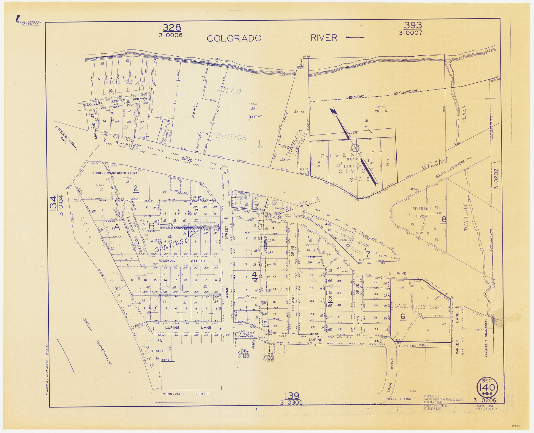
Travis County Appraisal District Plat Map 3_0206
Section 140
-
Map/Doc
94225
-
Collection
General Map Collection
-
Object Dates
1951/9/18 (Copy/Tracing Date)
1987 (Edition Date)
-
People and Organizations
Travis County Appraisal District (Publisher)
J.M. Scott (Tracer)
-
Counties
Travis
-
Subjects
City
-
Height x Width
21.4 x 26.4 inches
54.4 x 67.1 cm
-
Medium
blueprint/diazo
-
Scale
1" = 100'
Part of: General Map Collection
Grayson County Working Sketch Graphic Index

Print $20.00
- Digital $50.00
Grayson County Working Sketch Graphic Index
1935
Size 44.4 x 41.0 inches
Map/Doc 76558
Texas State Boundary Line 7

Print $182.00
Texas State Boundary Line 7
2000
Size 11.2 x 8.8 inches
Map/Doc 75018
Anderson County Rolled Sketch 7

Print $20.00
- Digital $50.00
Anderson County Rolled Sketch 7
1941
Size 42.2 x 44.9 inches
Map/Doc 8364
Hidalgo County Sketch File 8

Print $4.00
- Digital $50.00
Hidalgo County Sketch File 8
1890
Size 14.1 x 8.6 inches
Map/Doc 26407
Dallas County Sketch File 8

Print $5.00
- Digital $50.00
Dallas County Sketch File 8
1858
Size 16.3 x 9.1 inches
Map/Doc 20410
Upton County Working Sketch 3

Print $20.00
- Digital $50.00
Upton County Working Sketch 3
Size 21.4 x 33.8 inches
Map/Doc 69499
Current Miscellaneous File 79

Print $6.00
- Digital $50.00
Current Miscellaneous File 79
Size 10.8 x 8.4 inches
Map/Doc 74210
Cooke County Working Sketch 30

Print $20.00
- Digital $50.00
Cooke County Working Sketch 30
1979
Size 26.6 x 28.4 inches
Map/Doc 68267
Webb County Sketch File A1

Print $20.00
- Digital $50.00
Webb County Sketch File A1
1897
Size 20.3 x 20.3 inches
Map/Doc 12604
Val Verde County Working Sketch 68

Print $20.00
- Digital $50.00
Val Verde County Working Sketch 68
1965
Size 37.3 x 44.2 inches
Map/Doc 72203
Map of the Southwest Railway System

Print $20.00
- Digital $50.00
Map of the Southwest Railway System
1883
Size 16.0 x 28.8 inches
Map/Doc 93287
Limestone County Sketch File 24

Print $8.00
- Digital $50.00
Limestone County Sketch File 24
1942
Size 11.2 x 8.8 inches
Map/Doc 30206
You may also like
Harris County Sketch File 22

Print $4.00
- Digital $50.00
Harris County Sketch File 22
1862
Size 9.1 x 9.4 inches
Map/Doc 25375
General Highway Map, Brazos County, Texas

Print $20.00
General Highway Map, Brazos County, Texas
1961
Size 24.9 x 18.3 inches
Map/Doc 79384
Live Oak County Working Sketch 19

Print $20.00
- Digital $50.00
Live Oak County Working Sketch 19
1962
Size 27.4 x 34.5 inches
Map/Doc 70604

Sabine County Sketch File 10

Print $4.00
Sabine County Sketch File 10
1873
Size 8.3 x 10.2 inches
Map/Doc 35627
[Block G, Jonathan Burleson Survey, and vicinity]
![91042, [Block G, Jonathan Burleson Survey, and vicinity], Twichell Survey Records](https://historictexasmaps.com/wmedia_w700/maps/91042-1.tif.jpg)
Print $20.00
- Digital $50.00
[Block G, Jonathan Burleson Survey, and vicinity]
Size 26.4 x 14.6 inches
Map/Doc 91042
Brewster County Sketch File N-3d

Print $13.00
- Digital $50.00
Brewster County Sketch File N-3d
1889
Size 14.2 x 8.7 inches
Map/Doc 15596
Florida called by ye French Louisiana & c.

Print $20.00
- Digital $50.00
Florida called by ye French Louisiana & c.
1728
Size 9.6 x 14.3 inches
Map/Doc 94110
Brewster County Working Sketch 93

Print $40.00
- Digital $50.00
Brewster County Working Sketch 93
1975
Size 60.6 x 39.9 inches
Map/Doc 67693
![[San Benito Promotional Booklet]](https://historictexasmaps.com/wmedia_w700/pdf_converted_jpg/qi_pdf_thumbnail_64211.jpg)
[Block 6T, Portions of Blocks 44, 2T, and 3T, and vicinity]
![91526, [Block 6T, Portions of Blocks 44, 2T, and 3T, and vicinity], Twichell Survey Records](https://historictexasmaps.com/wmedia_w700/maps/91526-1.tif.jpg)
Print $20.00
- Digital $50.00
[Block 6T, Portions of Blocks 44, 2T, and 3T, and vicinity]
Size 14.2 x 15.9 inches
Map/Doc 91526
Jefferson County NRC Article 33.136 Sketch 11

Print $46.00
- Digital $50.00
Jefferson County NRC Article 33.136 Sketch 11
2012
Size 24.0 x 36.0 inches
Map/Doc 95011