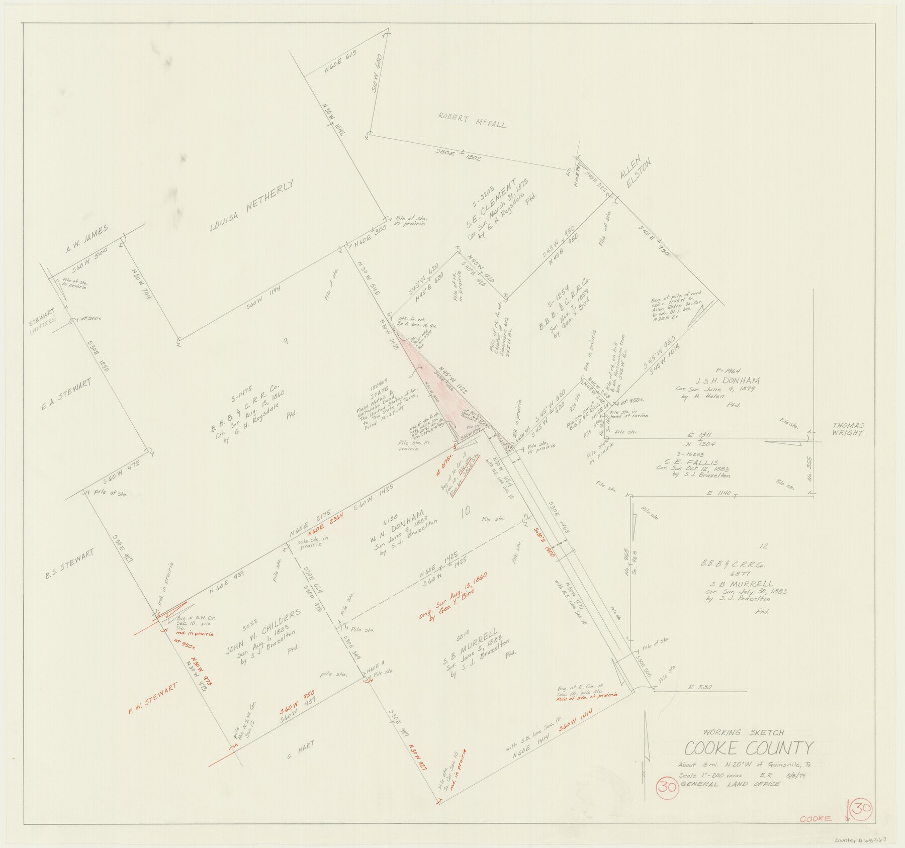
Cooke County Working Sketch 30
-
Map/Doc
68267
-
Collection
General Map Collection
-
Object Dates
8/8/1979 (Creation Date)
-
People and Organizations
Beverly Robison (Draftsman)
-
Counties
Cooke
-
Subjects
Surveying Working Sketch
-
Height x Width
26.6 x 28.4 inches
67.6 x 72.1 cm
-
Scale
1" = 200 varas
Part of: General Map Collection
Presidio County Rolled Sketch 90

Print $20.00
- Digital $50.00
Presidio County Rolled Sketch 90
1947
Size 20.5 x 24.4 inches
Map/Doc 7375
San Patricio County Rolled Sketch 29C

Print $40.00
- Digital $50.00
San Patricio County Rolled Sketch 29C
Size 49.1 x 61.4 inches
Map/Doc 48871

Titus County Sketch File 4

Print $4.00
- Digital $50.00
Titus County Sketch File 4
Size 8.2 x 10.2 inches
Map/Doc 38136
Midland County Working Sketch 1

Print $20.00
- Digital $50.00
Midland County Working Sketch 1
Size 26.8 x 8.7 inches
Map/Doc 70981
Starr County Sketch File 26

Print $20.00
- Digital $50.00
Starr County Sketch File 26
1923
Size 31.7 x 27.2 inches
Map/Doc 10607

Pecos County Rolled Sketch 131

Print $20.00
- Digital $50.00
Pecos County Rolled Sketch 131
1950
Size 28.6 x 26.4 inches
Map/Doc 7269
Hamilton County Working Sketch 21

Print $40.00
- Digital $50.00
Hamilton County Working Sketch 21
1955
Size 52.4 x 43.7 inches
Map/Doc 63359
Kimble County Sketch File L1

Print $22.00
- Digital $50.00
Kimble County Sketch File L1
Size 7.1 x 13.1 inches
Map/Doc 28967
Map of Cherokee County

Print $40.00
- Digital $50.00
Map of Cherokee County
1933
Size 55.0 x 38.7 inches
Map/Doc 95453
Denton County Working Sketch 11

Print $20.00
- Digital $50.00
Denton County Working Sketch 11
1960
Size 26.2 x 20.4 inches
Map/Doc 68616
You may also like
Flight Mission No. DAG-24K, Frame 157, Matagorda County

Print $20.00
- Digital $50.00
Flight Mission No. DAG-24K, Frame 157, Matagorda County
1953
Size 18.6 x 22.5 inches
Map/Doc 86571
Terrell County Working Sketch 58

Print $40.00
- Digital $50.00
Terrell County Working Sketch 58
1960
Size 36.3 x 48.9 inches
Map/Doc 69579
Crane County Sketch File 22

Print $20.00
- Digital $50.00
Crane County Sketch File 22
1930
Size 30.6 x 31.1 inches
Map/Doc 10344
Callahan County Rolled Sketch 2

Print $20.00
- Digital $50.00
Callahan County Rolled Sketch 2
1947
Size 19.1 x 23.0 inches
Map/Doc 5380
Crockett County Rolled Sketch 75

Print $20.00
- Digital $50.00
Crockett County Rolled Sketch 75
1949
Size 17.6 x 21.1 inches
Map/Doc 5616
[Sketch for Mineral Application 24072, San Jacinto River]
![65602, [Sketch for Mineral Application 24072, San Jacinto River], General Map Collection](https://historictexasmaps.com/wmedia_w700/maps/65602.tif.jpg)
Print $20.00
- Digital $50.00
[Sketch for Mineral Application 24072, San Jacinto River]
1929
Size 23.3 x 18.4 inches
Map/Doc 65602
Edwards County Sketch File 30

Print $10.00
- Digital $50.00
Edwards County Sketch File 30
1920
Size 6.5 x 8.9 inches
Map/Doc 21757
Real County Rolled Sketch 18

Print $20.00
- Digital $50.00
Real County Rolled Sketch 18
1986
Size 25.3 x 32.5 inches
Map/Doc 7469
Val Verde County Boundary File 104

Print $32.00
- Digital $50.00
Val Verde County Boundary File 104
Size 5.8 x 4.6 inches
Map/Doc 59604
[Sketch for Mineral Application 17237 / Mineral File 11855 - Neches River, Joe A. Sanders]
![65687, [Sketch for Mineral Application 17237 / Mineral File 11855 - Neches River, Joe A. Sanders], General Map Collection](https://historictexasmaps.com/wmedia_w700/maps/65687.tif.jpg)
Print $40.00
- Digital $50.00
[Sketch for Mineral Application 17237 / Mineral File 11855 - Neches River, Joe A. Sanders]
1927
Size 78.5 x 31.2 inches
Map/Doc 65687
Swisher County Working Sketch 1

Print $20.00
- Digital $50.00
Swisher County Working Sketch 1
1907
Size 19.4 x 16.3 inches
Map/Doc 62412
Wilbarger County Sketch File 23

Print $4.00
- Digital $50.00
Wilbarger County Sketch File 23
1887
Size 14.2 x 8.8 inches
Map/Doc 40223