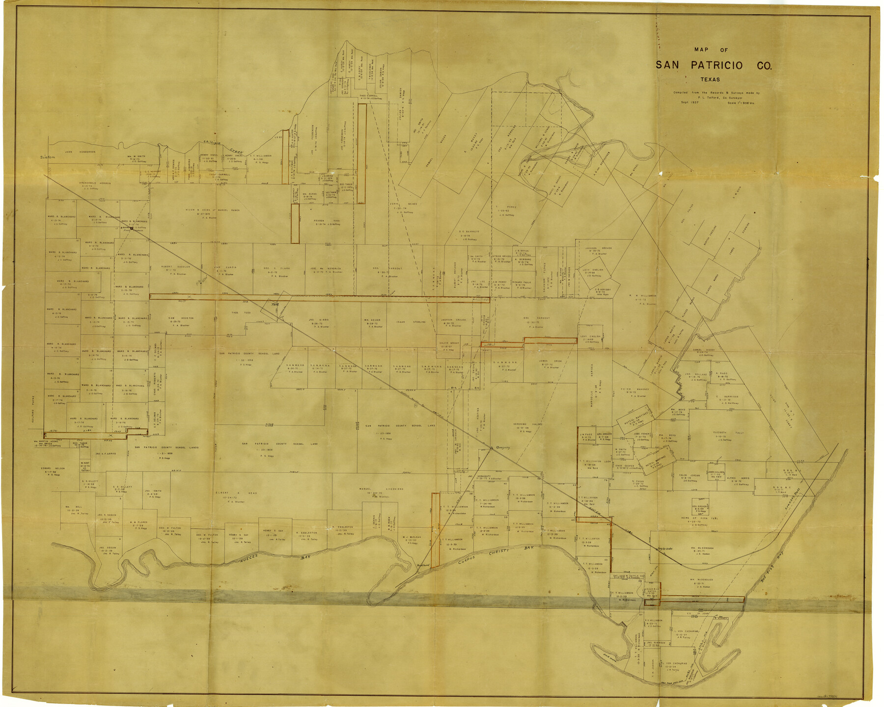
San Patricio County Rolled Sketch 29C
Map of San Patricio Co., Texas
-
Map/Doc
48871
-
Collection
General Map Collection
-
Counties
San Patricio
-
Subjects
Surveying Rolled Sketch
-
Height x Width
49.1 x 61.4 inches
124.7 x 156.0 cm
-
Comments
See 48872 for another map.
Related maps
San Patricio County Rolled Sketch 29C

Print $40.00
- Digital $50.00
San Patricio County Rolled Sketch 29C
Size 49.5 x 61.0 inches
Map/Doc 48872
Part of: General Map Collection
Haskell County Sketch File 9

Print $30.00
- Digital $50.00
Haskell County Sketch File 9
Size 23.2 x 14.9 inches
Map/Doc 26130
Jefferson County Sketch File 23

Print $20.00
- Digital $50.00
Jefferson County Sketch File 23
Size 15.8 x 17.8 inches
Map/Doc 11871
Atascosa County Working Sketch 28

Print $20.00
- Digital $50.00
Atascosa County Working Sketch 28
1968
Size 38.5 x 26.3 inches
Map/Doc 67224
Travis County Rolled Sketch 17

Print $20.00
- Digital $50.00
Travis County Rolled Sketch 17
1940
Size 18.8 x 25.4 inches
Map/Doc 8019
Jeff Davis County Working Sketch Graphic Index - east part

Print $20.00
- Digital $50.00
Jeff Davis County Working Sketch Graphic Index - east part
1977
Size 46.6 x 36.8 inches
Map/Doc 76592
Austin Street Map & Guide

Digital $50.00
Austin Street Map & Guide
Size 35.4 x 23.1 inches
Map/Doc 94435
King County Boundary File 5a

Print $40.00
- Digital $50.00
King County Boundary File 5a
Size 10.3 x 38.1 inches
Map/Doc 64922
Flight Mission No. DQN-3K, Frame 67, Calhoun County

Print $20.00
- Digital $50.00
Flight Mission No. DQN-3K, Frame 67, Calhoun County
1953
Size 18.6 x 22.3 inches
Map/Doc 84358
Hutchinson County Rolled Sketch 42

Print $40.00
- Digital $50.00
Hutchinson County Rolled Sketch 42
Size 38.0 x 49.5 inches
Map/Doc 6307
Galveston County Rolled Sketch 48

Print $20.00
- Digital $50.00
Galveston County Rolled Sketch 48
2004
Size 24.8 x 36.8 inches
Map/Doc 83421
Brewster County Working Sketch 86

Print $20.00
- Digital $50.00
Brewster County Working Sketch 86
1973
Size 27.6 x 27.7 inches
Map/Doc 67686
Motley County Sketch File 14 (N)

Print $8.00
- Digital $50.00
Motley County Sketch File 14 (N)
Size 13.6 x 8.7 inches
Map/Doc 32048
You may also like
Val Verde County Working Sketch 42

Print $20.00
- Digital $50.00
Val Verde County Working Sketch 42
1944
Size 24.4 x 33.9 inches
Map/Doc 72177
Kent County Boundary File 4

Print $20.00
- Digital $50.00
Kent County Boundary File 4
Size 8.8 x 4.6 inches
Map/Doc 55828

State of Texas

Print $40.00
- Digital $50.00
State of Texas
1965
Size 43.1 x 52.8 inches
Map/Doc 2488
Galveston County NRC Article 33.136 Sketch 82

Print $82.00
- Digital $50.00
Galveston County NRC Article 33.136 Sketch 82
2015
Size 24.0 x 36.0 inches
Map/Doc 94601
Dallas County Sketch File 26

Print $20.00
- Digital $50.00
Dallas County Sketch File 26
1942
Size 24.9 x 18.9 inches
Map/Doc 11289

Mills County Working Sketch 10

Print $20.00
- Digital $50.00
Mills County Working Sketch 10
1928
Size 29.0 x 22.0 inches
Map/Doc 71040
Jack County Sketch File 7

Print $6.00
- Digital $50.00
Jack County Sketch File 7
1857
Size 6.7 x 12.4 inches
Map/Doc 27516
Upper Galveston Bay, Houston Ship Channel, Dollar Pt. to Atkinson I.

Print $40.00
- Digital $50.00
Upper Galveston Bay, Houston Ship Channel, Dollar Pt. to Atkinson I.
1976
Size 49.3 x 36.5 inches
Map/Doc 69897
Pecos County Rolled Sketch 116

Print $20.00
- Digital $50.00
Pecos County Rolled Sketch 116
Size 26.7 x 20.6 inches
Map/Doc 7259
Crockett County Working Sketch 44

Print $20.00
- Digital $50.00
Crockett County Working Sketch 44
1933
Size 34.2 x 17.4 inches
Map/Doc 68377