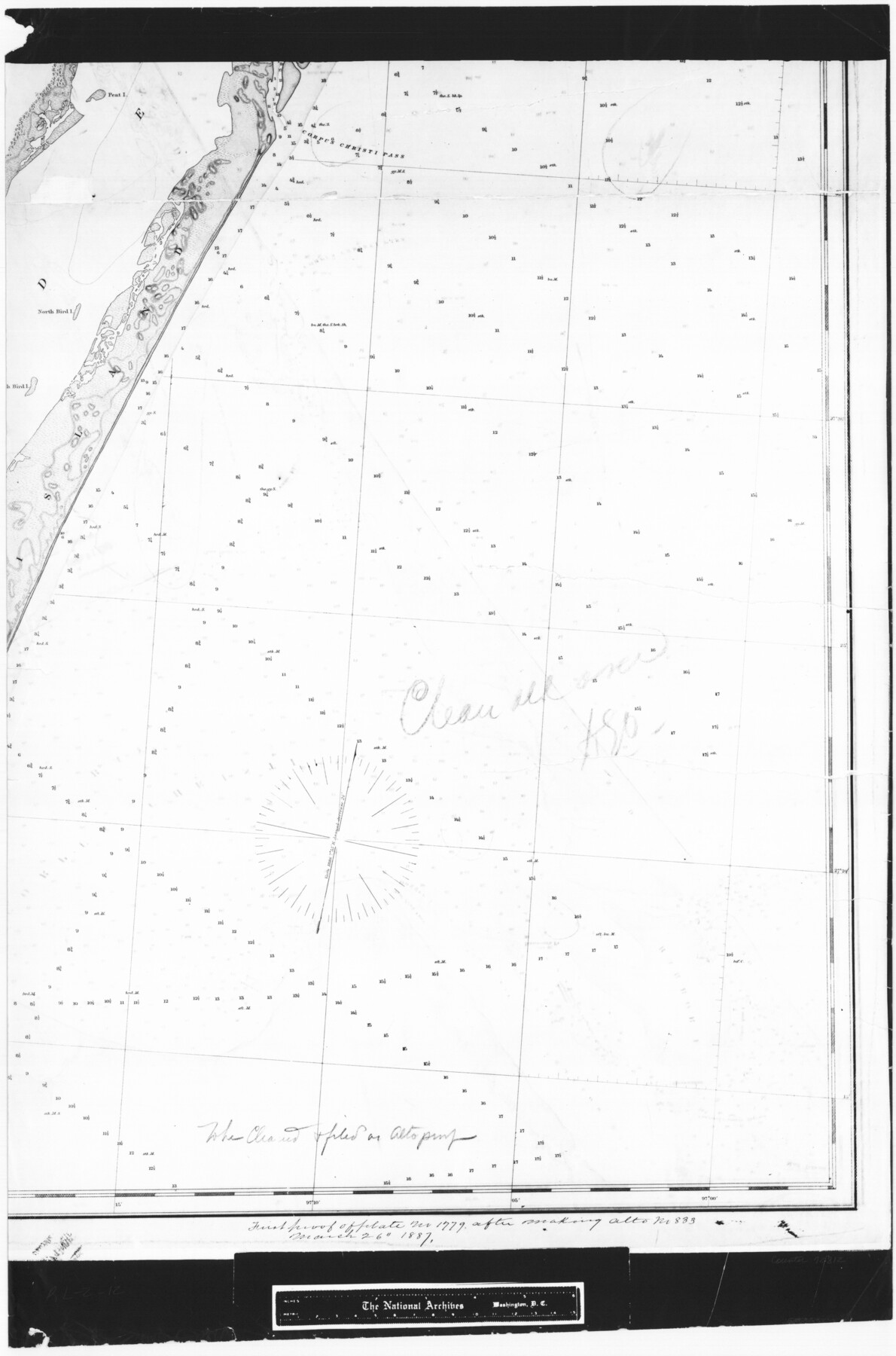
Coast Chart No. 210 Aransas Pass and Corpus Christi Bay with the coast to latitude 27° 12' Texas
RL-2-12
-
Map/Doc
72812
-
Collection
General Map Collection
-
Object Dates
1887 (Creation Date)
-
People and Organizations
[U. S. Coast and Geodetic Survey] (Publisher)
-
Counties
Nueces
-
Subjects
Nautical Charts
-
Height x Width
27.5 x 18.2 inches
69.9 x 46.2 cm
-
Comments
B/W photostat copy from National Archives in multiple pieces.
Part of: General Map Collection
Sutton County Working Sketch 39

Print $20.00
- Digital $50.00
Sutton County Working Sketch 39
1945
Size 29.6 x 25.8 inches
Map/Doc 62382
Nueces County Rolled Sketch 93

Print $161.00
Nueces County Rolled Sketch 93
1983
Size 37.3 x 24.2 inches
Map/Doc 7029
Jefferson County Aerial Photograph Index Sheet 2

Print $20.00
- Digital $50.00
Jefferson County Aerial Photograph Index Sheet 2
1953
Size 23.4 x 17.0 inches
Map/Doc 83708
Township No. 4 South Range No. 16 West of the Indian Meridian

Print $20.00
- Digital $50.00
Township No. 4 South Range No. 16 West of the Indian Meridian
1875
Size 19.4 x 24.4 inches
Map/Doc 75165
North Sulphur River, Sims Crossing Sheet

Print $20.00
- Digital $50.00
North Sulphur River, Sims Crossing Sheet
1924
Size 12.4 x 25.1 inches
Map/Doc 78335
Brewster County Sketch File NS-8

Print $311.00
- Digital $50.00
Brewster County Sketch File NS-8
Size 15.0 x 9.1 inches
Map/Doc 15999
Navarro County Working Sketch 18

Print $20.00
- Digital $50.00
Navarro County Working Sketch 18
2009
Size 31.9 x 38.0 inches
Map/Doc 89044
San Saba County

Print $20.00
- Digital $50.00
San Saba County
1987
Size 43.5 x 47.3 inches
Map/Doc 95635
Wichita County Sketch File 9a

Print $4.00
- Digital $50.00
Wichita County Sketch File 9a
Size 10.7 x 8.2 inches
Map/Doc 40052
Ward County Working Sketch 52

Print $20.00
- Digital $50.00
Ward County Working Sketch 52
1980
Size 36.3 x 37.0 inches
Map/Doc 72358
Flight Mission No. DAG-22K, Frame 81, Matagorda County

Print $20.00
- Digital $50.00
Flight Mission No. DAG-22K, Frame 81, Matagorda County
1953
Size 18.6 x 22.4 inches
Map/Doc 86465
Hardin County Working Sketch 18

Print $20.00
- Digital $50.00
Hardin County Working Sketch 18
1944
Size 18.7 x 22.0 inches
Map/Doc 63416
You may also like
Culberson County Working Sketch 90

Print $20.00
- Digital $50.00
Culberson County Working Sketch 90
1992
Size 35.0 x 28.0 inches
Map/Doc 68544
Survey in South Austin for Mr. R.N. Graham

Print $20.00
- Digital $50.00
Survey in South Austin for Mr. R.N. Graham
Map/Doc 93795
[Aerial Photograph of Galveston Island and the Gulf of Mexico]
![83434, [Aerial Photograph of Galveston Island and the Gulf of Mexico], General Map Collection](https://historictexasmaps.com/wmedia_w700/maps/83434.tif.jpg)
Print $20.00
- Digital $50.00
[Aerial Photograph of Galveston Island and the Gulf of Mexico]
1956
Size 15.5 x 12.7 inches
Map/Doc 83434
Stonewall County

Print $20.00
- Digital $50.00
Stonewall County
1889
Size 19.6 x 24.3 inches
Map/Doc 91883
Upper Galveston Bay, Houston Ship Channel, Dollar Pt. to Atkinson I.

Print $40.00
- Digital $50.00
Upper Galveston Bay, Houston Ship Channel, Dollar Pt. to Atkinson I.
1972
Size 49.9 x 36.9 inches
Map/Doc 69895
Ward County Working Sketch Graphic Index - sheet A

Print $40.00
- Digital $50.00
Ward County Working Sketch Graphic Index - sheet A
1932
Size 30.8 x 52.8 inches
Map/Doc 76731
Flight Mission No. DIX-7P, Frame 89, Aransas County

Print $20.00
- Digital $50.00
Flight Mission No. DIX-7P, Frame 89, Aransas County
1956
Size 18.7 x 22.4 inches
Map/Doc 83883
Flight Mission No. BRA-16M, Frame 89, Jefferson County

Print $20.00
- Digital $50.00
Flight Mission No. BRA-16M, Frame 89, Jefferson County
1953
Size 18.6 x 22.4 inches
Map/Doc 85701
Hartley County Sketch File A

Print $4.00
- Digital $50.00
Hartley County Sketch File A
Size 8.9 x 10.4 inches
Map/Doc 26081
Dimmit County Sketch File 35

Print $6.00
- Digital $50.00
Dimmit County Sketch File 35
1885
Size 6.5 x 8.5 inches
Map/Doc 21155
Stephens County Sketch File 2

Print $4.00
- Digital $50.00
Stephens County Sketch File 2
1870
Size 12.9 x 8.2 inches
Map/Doc 37013
Sutton County Rolled Sketch 64

Print $20.00
- Digital $50.00
Sutton County Rolled Sketch 64
1975
Size 17.9 x 19.6 inches
Map/Doc 7899