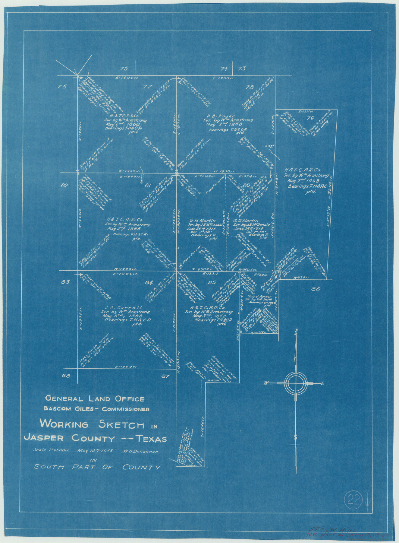
Jasper County Working Sketch 22
-
Map/Doc
66484
-
Collection
General Map Collection
-
Object Dates
5/16/1943 (Creation Date)
-
People and Organizations
W.G. Bohannon (Draftsman)
-
Counties
Jasper
-
Subjects
Surveying Working Sketch
-
Height x Width
21.0 x 15.4 inches
53.3 x 39.1 cm
-
Scale
1" = 500 varas
Part of: General Map Collection
Map of Matagorda Bay & Vicinity in Matagorda & Calhoun Counties Showing Subdivision for Mineral Development

Print $40.00
- Digital $50.00
Map of Matagorda Bay & Vicinity in Matagorda & Calhoun Counties Showing Subdivision for Mineral Development
1939
Size 46.1 x 55.5 inches
Map/Doc 2927
Flight Mission No. CUG-3P, Frame 139, Kleberg County

Print $20.00
- Digital $50.00
Flight Mission No. CUG-3P, Frame 139, Kleberg County
1956
Size 18.6 x 22.4 inches
Map/Doc 86274
Presidio County Sketch File 59

Print $12.00
- Digital $50.00
Presidio County Sketch File 59
1935
Size 8.7 x 7.5 inches
Map/Doc 34637
McCulloch County Rolled Sketch 10

Print $20.00
- Digital $50.00
McCulloch County Rolled Sketch 10
Size 45.9 x 33.7 inches
Map/Doc 6720
Brewster County Rolled Sketch 63

Print $40.00
- Digital $50.00
Brewster County Rolled Sketch 63
1939
Size 77.1 x 43.6 inches
Map/Doc 8488
Amistad International Reservoir on Rio Grande 68

Print $20.00
- Digital $50.00
Amistad International Reservoir on Rio Grande 68
1949
Size 28.4 x 39.4 inches
Map/Doc 73353
Hale County Sketch File D

Print $40.00
- Digital $50.00
Hale County Sketch File D
1901
Size 16.5 x 12.2 inches
Map/Doc 24721
Flight Mission No. DQN-5K, Frame 37, Calhoun County

Print $20.00
- Digital $50.00
Flight Mission No. DQN-5K, Frame 37, Calhoun County
1953
Size 18.5 x 22.1 inches
Map/Doc 84385
Flight Mission No. BRA-8M, Frame 22, Jefferson County

Print $20.00
- Digital $50.00
Flight Mission No. BRA-8M, Frame 22, Jefferson County
1953
Size 18.5 x 22.4 inches
Map/Doc 85577
Cass County Working Sketch 23

Print $40.00
- Digital $50.00
Cass County Working Sketch 23
1966
Size 56.8 x 37.1 inches
Map/Doc 67926
Flight Mission No. DQN-2K, Frame 188, Calhoun County

Print $20.00
- Digital $50.00
Flight Mission No. DQN-2K, Frame 188, Calhoun County
1953
Size 18.6 x 22.3 inches
Map/Doc 84329
Potter County Working Sketch 1

Print $20.00
- Digital $50.00
Potter County Working Sketch 1
Size 16.3 x 17.2 inches
Map/Doc 71661
You may also like
Map of Concho County

Print $20.00
- Digital $50.00
Map of Concho County
1879
Size 25.1 x 18.4 inches
Map/Doc 3436
Flight Mission No. BRA-8M, Frame 87, Jefferson County

Print $20.00
- Digital $50.00
Flight Mission No. BRA-8M, Frame 87, Jefferson County
1953
Size 18.6 x 22.3 inches
Map/Doc 85607
Polk County Rolled Sketch 29

Print $86.00
- Digital $50.00
Polk County Rolled Sketch 29
1954
Size 9.3 x 14.9 inches
Map/Doc 48066
General Highway Map, Angelina County, Texas

Print $20.00
General Highway Map, Angelina County, Texas
1940
Size 18.5 x 24.9 inches
Map/Doc 79003
Parker County Working Sketch 10

Print $20.00
- Digital $50.00
Parker County Working Sketch 10
1969
Map/Doc 71460
Nueces County Rolled Sketch 126 A-G

Print $22.00
- Digital $50.00
Nueces County Rolled Sketch 126 A-G
1998
Size 11.3 x 8.8 inches
Map/Doc 8962
PSL Field Notes for Block C41 in Dawson, Lynn, and Terry Counties, Block C42 in Lynn and Terry Counties, and Blocks C40 and D23 in Lynn County

PSL Field Notes for Block C41 in Dawson, Lynn, and Terry Counties, Block C42 in Lynn and Terry Counties, and Blocks C40 and D23 in Lynn County
Map/Doc 81668
Galveston Bay

Print $20.00
- Digital $50.00
Galveston Bay
1907
Size 40.6 x 34.4 inches
Map/Doc 69871
[Central Part of County]
![89791, [Central Part of County], Twichell Survey Records](https://historictexasmaps.com/wmedia_w700/maps/89791-1.tif.jpg)
Print $40.00
- Digital $50.00
[Central Part of County]
Size 70.0 x 26.3 inches
Map/Doc 89791
Matagorda County Sketch File 42b

Print $12.00
- Digital $50.00
Matagorda County Sketch File 42b
1913
Size 11.2 x 8.7 inches
Map/Doc 30862
Controlled Mosaic by Jack Amman Photogrammetric Engineers, Inc - Sheet 1

Print $20.00
- Digital $50.00
Controlled Mosaic by Jack Amman Photogrammetric Engineers, Inc - Sheet 1
1954
Size 20.0 x 24.0 inches
Map/Doc 83445
[Blocks 2, M3, M20, G. & M. Block 22 and others in the vicinity]
![91803, [Blocks 2, M3, M20, G. & M. Block 22 and others in the vicinity], Twichell Survey Records](https://historictexasmaps.com/wmedia_w700/maps/91803-1.tif.jpg)
Print $20.00
- Digital $50.00
[Blocks 2, M3, M20, G. & M. Block 22 and others in the vicinity]
Size 19.0 x 23.2 inches
Map/Doc 91803