Map of Clay County, Cooke Land District, formely(sic.) Fannin Land District


Print $20.00
- Digital $50.00
Map of Clay County, Cooke Land District, formely(sic.) Fannin Land District
1859
Size: 30.2 x 19.0 inches
1049
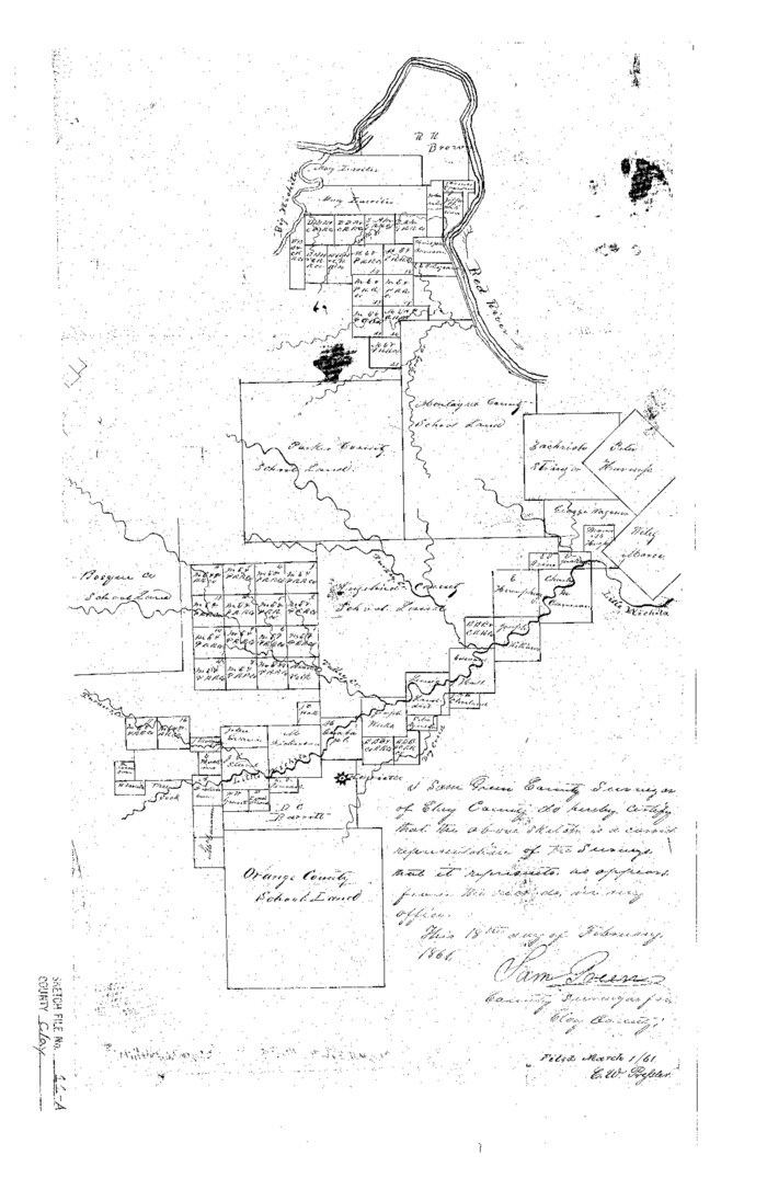
Clay County Sketch File 11a

Print $22.00
- Digital $50.00
Clay County Sketch File 11a
1861
Size: 18.3 x 11.9 inches
11084
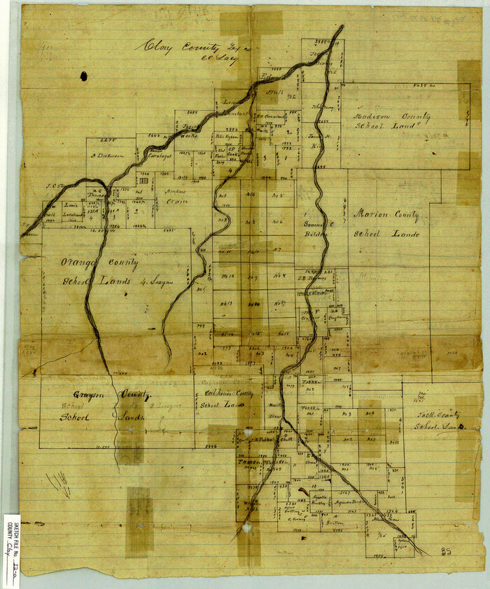
Clay County Sketch File 12a

Print $20.00
- Digital $50.00
Clay County Sketch File 12a
Size: 19.7 x 16.4 inches
11085
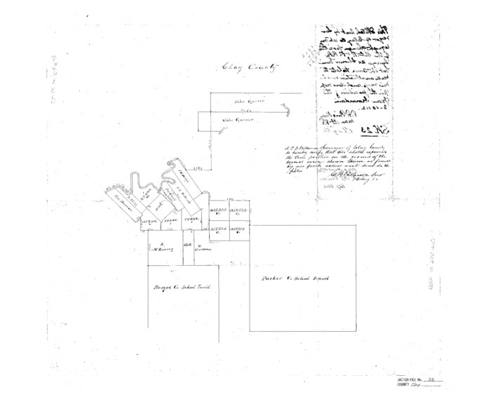
Clay County Sketch File 23

Print $4.00
- Digital $50.00
Clay County Sketch File 23
Size: 18.9 x 23.0 inches
11086
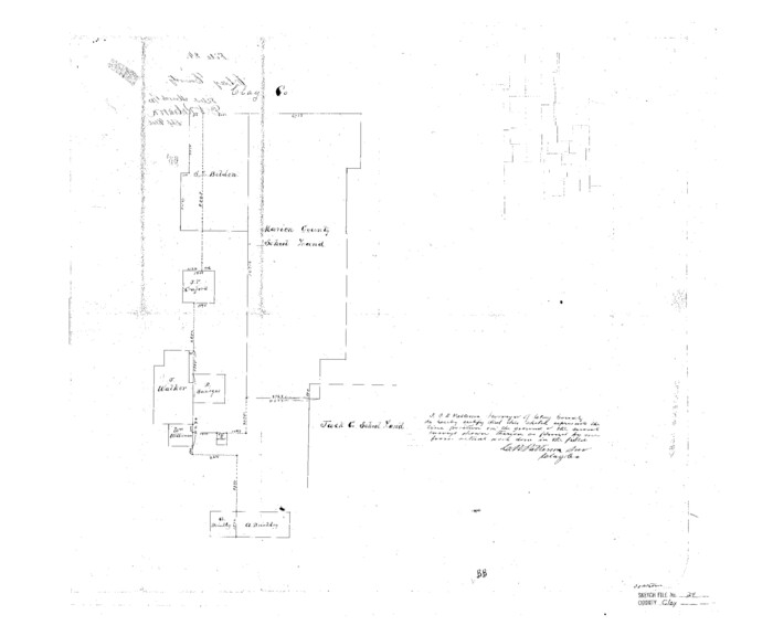
Clay County Sketch File 24

Print $4.00
- Digital $50.00
Clay County Sketch File 24
1881
Size: 18.9 x 23.0 inches
11087
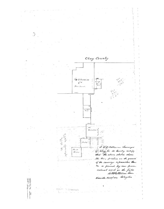
Clay County Sketch File 25

Print $20.00
- Digital $50.00
Clay County Sketch File 25
Size: 21.1 x 16.6 inches
11088
Clay County Sketch File 27


Print $20.00
- Digital $50.00
Clay County Sketch File 27
1900
Size: 18.8 x 16.5 inches
11089
Clay County Sketch File 28


Print $20.00
- Digital $50.00
Clay County Sketch File 28
Size: 25.3 x 31.2 inches
11090
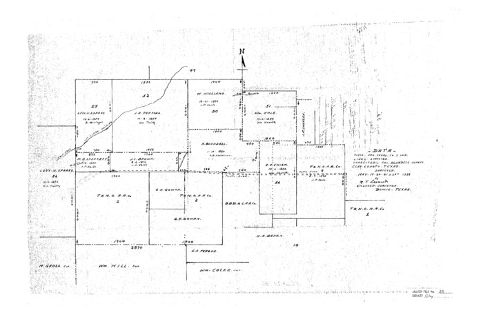
Clay County Sketch File 38

Print $4.00
- Digital $50.00
Clay County Sketch File 38
Size: 16.4 x 25.0 inches
11092
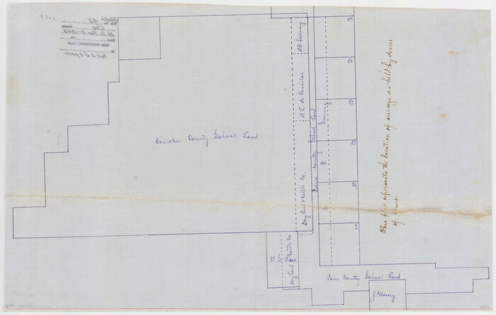
Clay County Sketch File 42

Print $20.00
- Digital $50.00
Clay County Sketch File 42
Size: 22.8 x 31.0 inches
11093
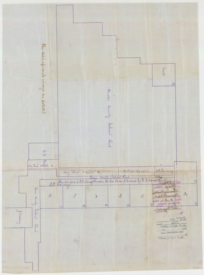
Clay County Sketch File 43

Print $40.00
- Digital $50.00
Clay County Sketch File 43
1891
Size: 23.2 x 33.7 inches
11094
Clay County Sketch File 44
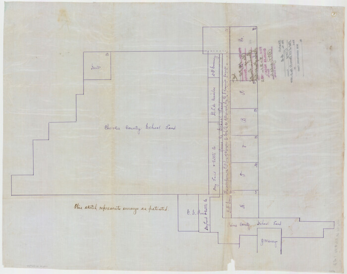

Print $20.00
- Digital $50.00
Clay County Sketch File 44
Size: 24.7 x 36.0 inches
11096
Clay County Sketch File 45


Print $20.00
- Digital $50.00
Clay County Sketch File 45
Size: 23.5 x 35.4 inches
11097
Clay County Sketch File 46


Print $20.00
- Digital $50.00
Clay County Sketch File 46
1890
Size: 18.9 x 19.3 inches
11098
Wichita County Sketch File 17


Print $20.00
- Digital $50.00
Wichita County Sketch File 17
1889
Size: 29.7 x 22.4 inches
12680
Clay County Sketch File 1


Print $22.00
- Digital $50.00
Clay County Sketch File 1
1855
Size: 8.9 x 7.6 inches
18386
Clay County Sketch File 1a

Print $25.00
- Digital $50.00
Clay County Sketch File 1a
1860
Size: 8.8 x 8.2 inches
18387
Clay County Sketch File 3

Print $2.00
- Digital $50.00
Clay County Sketch File 3
Size: 8.7 x 7.7 inches
18391
Clay County Sketch File 4
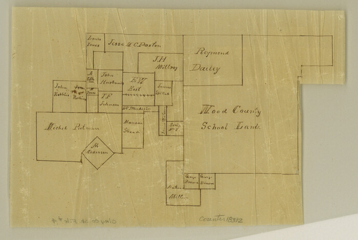

Print $22.00
- Digital $50.00
Clay County Sketch File 4
1854
Size: 5.0 x 7.5 inches
18392
Clay County Sketch File 5
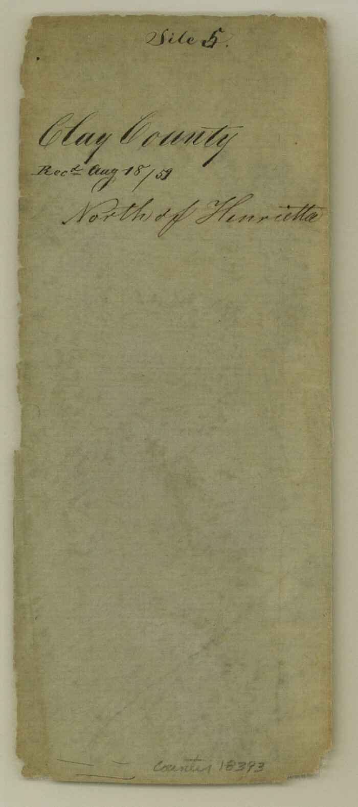

Print $5.00
- Digital $50.00
Clay County Sketch File 5
1859
Size: 8.6 x 3.8 inches
18393
Clay County Sketch File 6
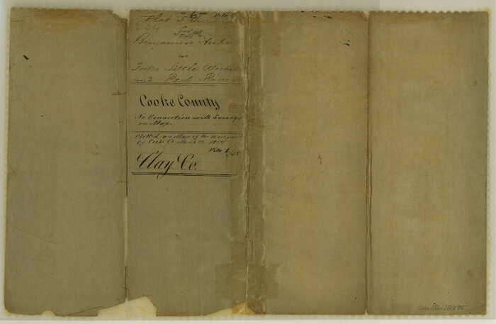

Print $4.00
- Digital $50.00
Clay County Sketch File 6
1854
Size: 8.1 x 12.5 inches
18395
Clay County Sketch File 7
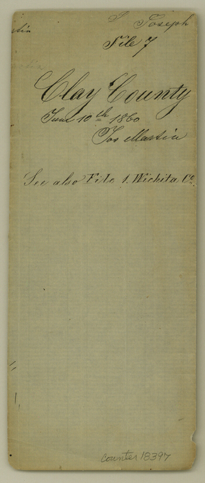

Print $2.00
- Digital $50.00
Clay County Sketch File 7
Size: 8.2 x 3.5 inches
18397
Clay County Sketch File 8
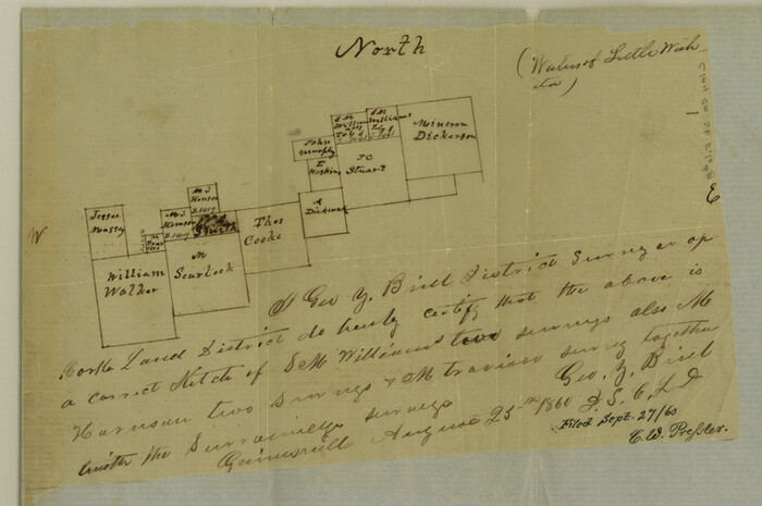

Print $4.00
- Digital $50.00
Clay County Sketch File 8
1860
Size: 5.5 x 8.3 inches
18398
Clay County Sketch File 9

Print $6.00
- Digital $50.00
Clay County Sketch File 9
1860
Size: 8.4 x 7.6 inches
18400
Clay County Sketch File 9a


Print $6.00
- Digital $50.00
Clay County Sketch File 9a
1855
Size: 10.7 x 6.1 inches
18403
Clay County Sketch File 10

Print $4.00
- Digital $50.00
Clay County Sketch File 10
1860
Size: 8.8 x 7.6 inches
18406
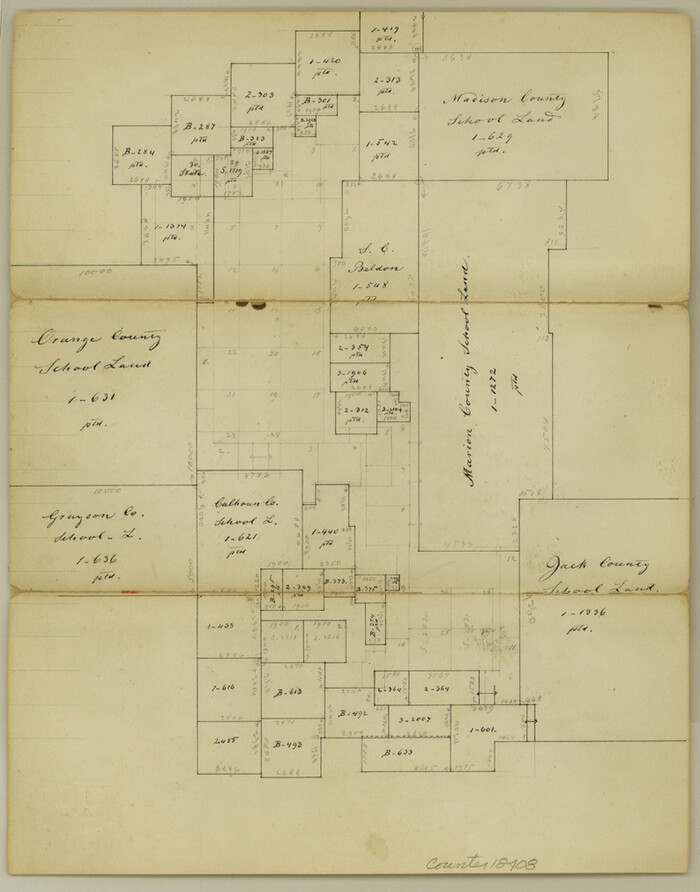
Clay County Sketch File 11

Print $4.00
- Digital $50.00
Clay County Sketch File 11
1870
Size: 10.1 x 7.9 inches
18408
Clay County Sketch File 12


Print $4.00
- Digital $50.00
Clay County Sketch File 12
1873
Size: 13.0 x 8.2 inches
18411
Clay County Sketch File 13


Print $8.00
- Digital $50.00
Clay County Sketch File 13
1875
Size: 8.1 x 3.7 inches
18413
Clay County Sketch File 14


Print $40.00
- Digital $50.00
Clay County Sketch File 14
1873
Size: 16.5 x 13.8 inches
18417
Map of Clay County, Cooke Land District, formely(sic.) Fannin Land District


Print $20.00
- Digital $50.00
Map of Clay County, Cooke Land District, formely(sic.) Fannin Land District
1859
-
Size
30.2 x 19.0 inches
-
Map/Doc
1049
-
Creation Date
1859
Clay County Sketch File 11a


Print $22.00
- Digital $50.00
Clay County Sketch File 11a
1861
-
Size
18.3 x 11.9 inches
-
Map/Doc
11084
-
Creation Date
1861
Clay County Sketch File 12a


Print $20.00
- Digital $50.00
Clay County Sketch File 12a
-
Size
19.7 x 16.4 inches
-
Map/Doc
11085
Clay County Sketch File 23


Print $4.00
- Digital $50.00
Clay County Sketch File 23
-
Size
18.9 x 23.0 inches
-
Map/Doc
11086
Clay County Sketch File 24


Print $4.00
- Digital $50.00
Clay County Sketch File 24
1881
-
Size
18.9 x 23.0 inches
-
Map/Doc
11087
-
Creation Date
1881
Clay County Sketch File 25


Print $20.00
- Digital $50.00
Clay County Sketch File 25
-
Size
21.1 x 16.6 inches
-
Map/Doc
11088
Clay County Sketch File 27


Print $20.00
- Digital $50.00
Clay County Sketch File 27
1900
-
Size
18.8 x 16.5 inches
-
Map/Doc
11089
-
Creation Date
1900
Clay County Sketch File 28


Print $20.00
- Digital $50.00
Clay County Sketch File 28
-
Size
25.3 x 31.2 inches
-
Map/Doc
11090
Clay County Sketch File 38


Print $4.00
- Digital $50.00
Clay County Sketch File 38
-
Size
16.4 x 25.0 inches
-
Map/Doc
11092
Clay County Sketch File 42


Print $20.00
- Digital $50.00
Clay County Sketch File 42
-
Size
22.8 x 31.0 inches
-
Map/Doc
11093
Clay County Sketch File 43


Print $40.00
- Digital $50.00
Clay County Sketch File 43
1891
-
Size
23.2 x 33.7 inches
-
Map/Doc
11094
-
Creation Date
1891
Clay County Sketch File 44


Print $20.00
- Digital $50.00
Clay County Sketch File 44
-
Size
24.7 x 36.0 inches
-
Map/Doc
11096
Clay County Sketch File 45


Print $20.00
- Digital $50.00
Clay County Sketch File 45
-
Size
23.5 x 35.4 inches
-
Map/Doc
11097
Clay County Sketch File 46


Print $20.00
- Digital $50.00
Clay County Sketch File 46
1890
-
Size
18.9 x 19.3 inches
-
Map/Doc
11098
-
Creation Date
1890
Wichita County Sketch File 17


Print $20.00
- Digital $50.00
Wichita County Sketch File 17
1889
-
Size
29.7 x 22.4 inches
-
Map/Doc
12680
-
Creation Date
1889
Clay County Sketch File 1


Print $22.00
- Digital $50.00
Clay County Sketch File 1
1855
-
Size
8.9 x 7.6 inches
-
Map/Doc
18386
-
Creation Date
1855
Clay County Sketch File 1a


Print $25.00
- Digital $50.00
Clay County Sketch File 1a
1860
-
Size
8.8 x 8.2 inches
-
Map/Doc
18387
-
Creation Date
1860
Clay County Sketch File 3


Print $2.00
- Digital $50.00
Clay County Sketch File 3
-
Size
8.7 x 7.7 inches
-
Map/Doc
18391
Clay County Sketch File 4


Print $22.00
- Digital $50.00
Clay County Sketch File 4
1854
-
Size
5.0 x 7.5 inches
-
Map/Doc
18392
-
Creation Date
1854
Clay County Sketch File 5


Print $5.00
- Digital $50.00
Clay County Sketch File 5
1859
-
Size
8.6 x 3.8 inches
-
Map/Doc
18393
-
Creation Date
1859
Clay County Sketch File 6


Print $4.00
- Digital $50.00
Clay County Sketch File 6
1854
-
Size
8.1 x 12.5 inches
-
Map/Doc
18395
-
Creation Date
1854
Clay County Sketch File 7


Print $2.00
- Digital $50.00
Clay County Sketch File 7
-
Size
8.2 x 3.5 inches
-
Map/Doc
18397
Clay County Sketch File 8


Print $4.00
- Digital $50.00
Clay County Sketch File 8
1860
-
Size
5.5 x 8.3 inches
-
Map/Doc
18398
-
Creation Date
1860
Clay County Sketch File 9


Print $6.00
- Digital $50.00
Clay County Sketch File 9
1860
-
Size
8.4 x 7.6 inches
-
Map/Doc
18400
-
Creation Date
1860
Clay County Sketch File 9a


Print $6.00
- Digital $50.00
Clay County Sketch File 9a
1855
-
Size
10.7 x 6.1 inches
-
Map/Doc
18403
-
Creation Date
1855
Clay County Sketch File 10


Print $4.00
- Digital $50.00
Clay County Sketch File 10
1860
-
Size
8.8 x 7.6 inches
-
Map/Doc
18406
-
Creation Date
1860
Clay County Sketch File 11


Print $4.00
- Digital $50.00
Clay County Sketch File 11
1870
-
Size
10.1 x 7.9 inches
-
Map/Doc
18408
-
Creation Date
1870
Clay County Sketch File 12


Print $4.00
- Digital $50.00
Clay County Sketch File 12
1873
-
Size
13.0 x 8.2 inches
-
Map/Doc
18411
-
Creation Date
1873
Clay County Sketch File 13


Print $8.00
- Digital $50.00
Clay County Sketch File 13
1875
-
Size
8.1 x 3.7 inches
-
Map/Doc
18413
-
Creation Date
1875
Clay County Sketch File 14


Print $40.00
- Digital $50.00
Clay County Sketch File 14
1873
-
Size
16.5 x 13.8 inches
-
Map/Doc
18417
-
Creation Date
1873