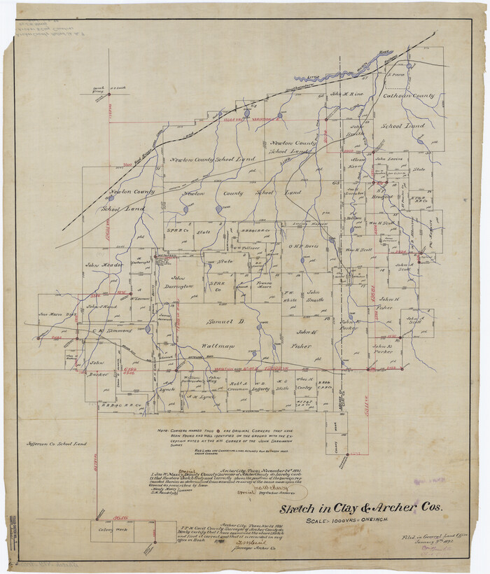
Archer County Rolled Sketch 9

Print $20.00
- Digital $50.00
Archer County Rolled Sketch 9
1891
Size: 35.9 x 30.6 inches
5104
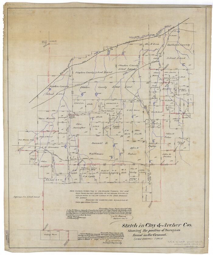
Archer County Rolled Sketch B2

Print $20.00
- Digital $50.00
Archer County Rolled Sketch B2
1891
Size: 36.7 x 30.7 inches
5105
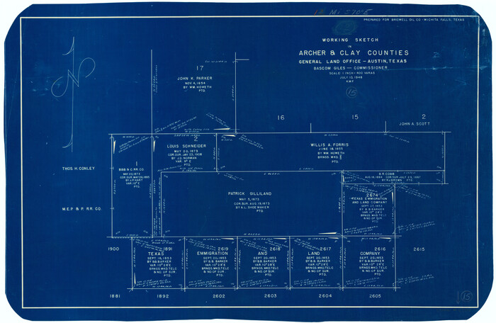
Archer County Working Sketch 15

Print $20.00
- Digital $50.00
Archer County Working Sketch 15
1948
Size: 20.7 x 31.9 inches
67156
Archer County Working Sketch 4


Print $40.00
- Digital $50.00
Archer County Working Sketch 4
1918
Size: 49.9 x 68.3 inches
67144
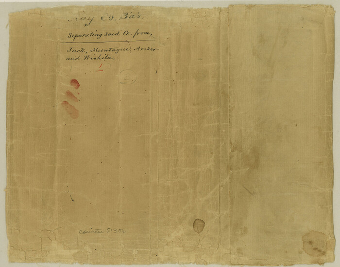
Clay County Boundary File 1

Print $10.00
- Digital $50.00
Clay County Boundary File 1
Size: 8.8 x 11.2 inches
51356
Clay County Boundary File 10


Print $6.00
- Digital $50.00
Clay County Boundary File 10
Size: 14.2 x 8.8 inches
51397
Clay County Boundary File 11
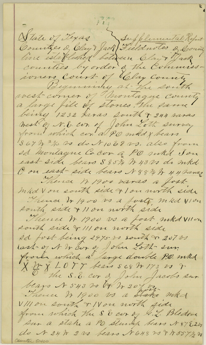

Print $12.00
- Digital $50.00
Clay County Boundary File 11
Size: 14.0 x 8.4 inches
51400
Clay County Boundary File 12
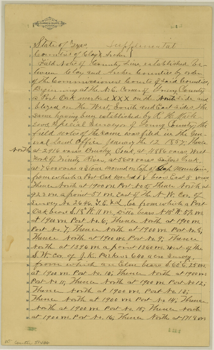

Print $8.00
- Digital $50.00
Clay County Boundary File 12
Size: 14.3 x 8.8 inches
51406
Clay County Boundary File 13
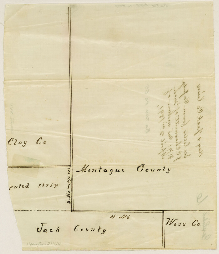

Print $48.00
- Digital $50.00
Clay County Boundary File 13
Size: 10.6 x 9.1 inches
51410
Clay County Boundary File 14


Print $80.00
- Digital $50.00
Clay County Boundary File 14
Size: 63.1 x 15.4 inches
51416
Clay County Boundary File 15
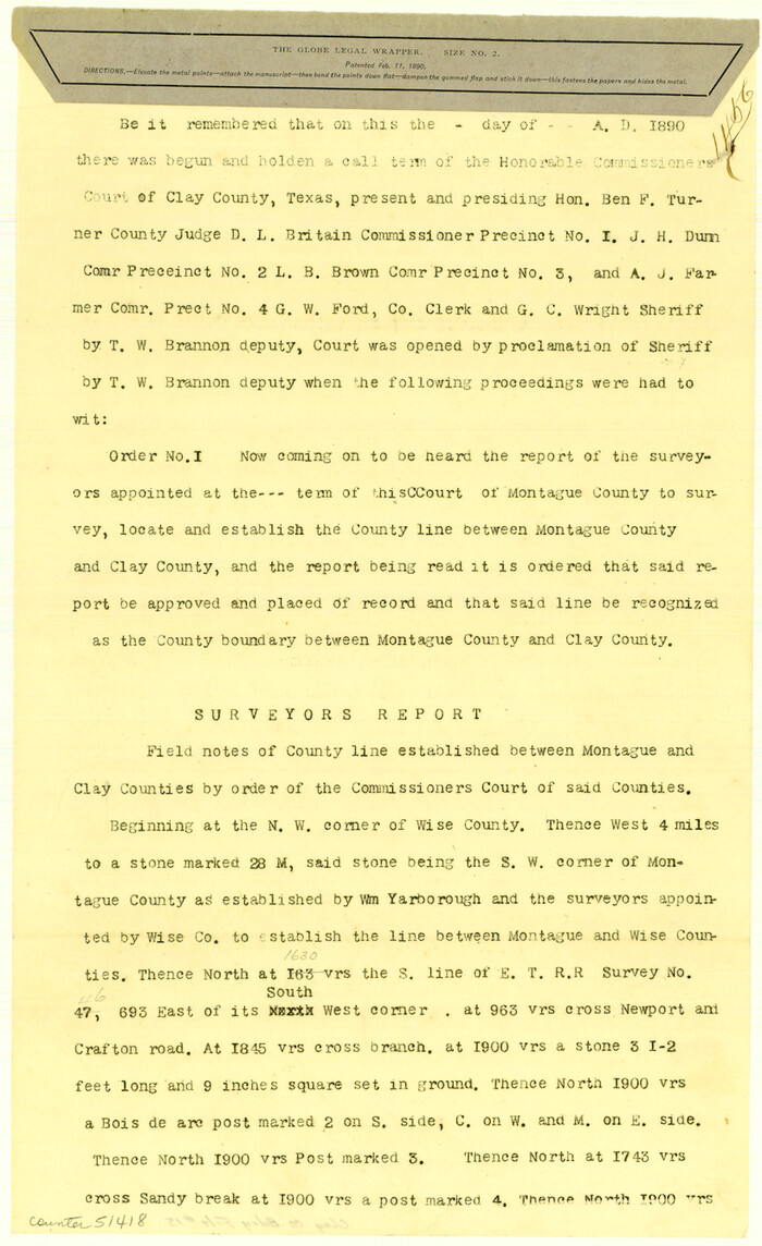

Print $8.00
- Digital $50.00
Clay County Boundary File 15
Size: 13.3 x 8.2 inches
51418
Clay County Boundary File 16


Print $56.00
- Digital $50.00
Clay County Boundary File 16
Size: 9.1 x 3.7 inches
51422
Clay County Boundary File 17


Print $8.00
- Digital $50.00
Clay County Boundary File 17
Size: 13.8 x 8.4 inches
51432
Clay County Boundary File 17a


Print $40.00
- Digital $50.00
Clay County Boundary File 17a
Size: 47.0 x 22.0 inches
51435
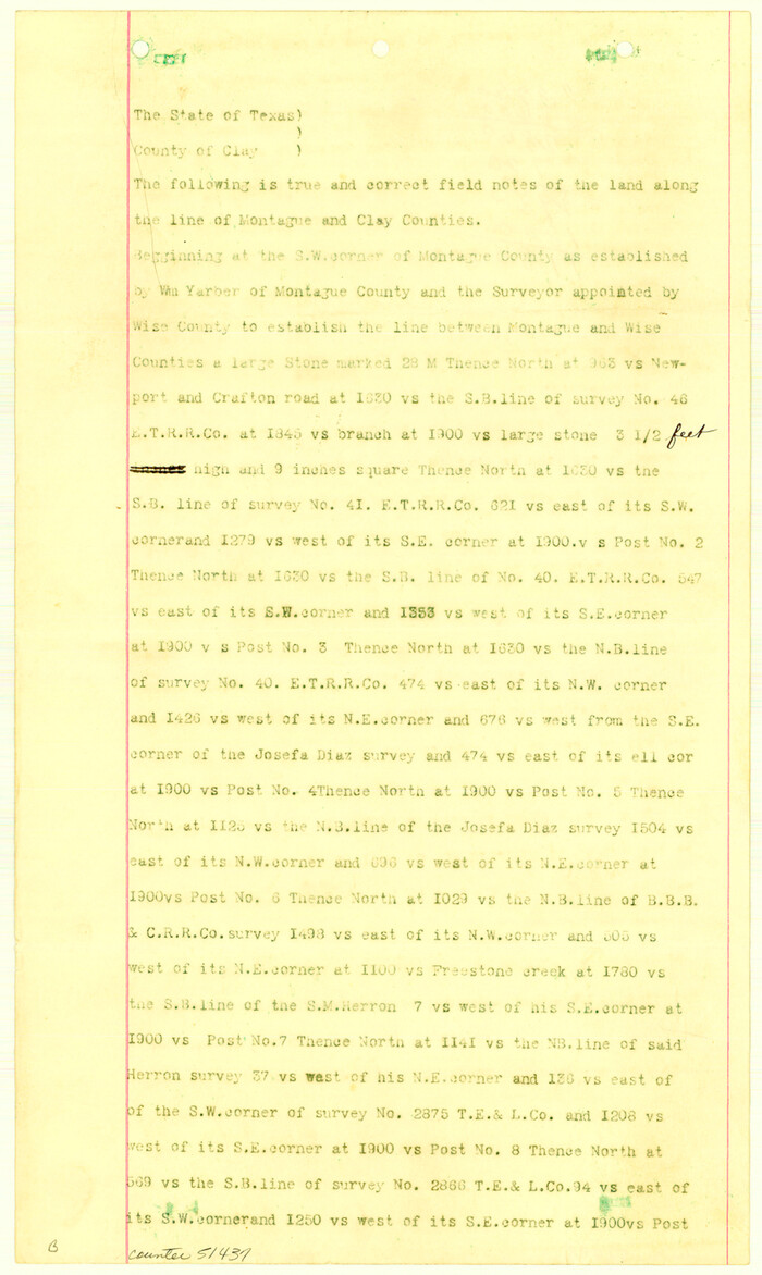
Clay County Boundary File 18

Print $12.00
- Digital $50.00
Clay County Boundary File 18
Size: 14.2 x 8.5 inches
51437
Clay County Boundary File 18a


Print $80.00
- Digital $50.00
Clay County Boundary File 18a
Size: 65.3 x 17.3 inches
51443
Clay County Boundary File 19


Print $8.00
- Digital $50.00
Clay County Boundary File 19
1924
Size: 3.3 x 5.5 inches
65511
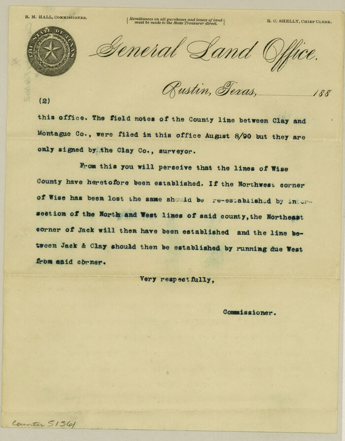
Clay County Boundary File 2

Print $6.00
- Digital $50.00
Clay County Boundary File 2
Size: 10.5 x 8.2 inches
51361
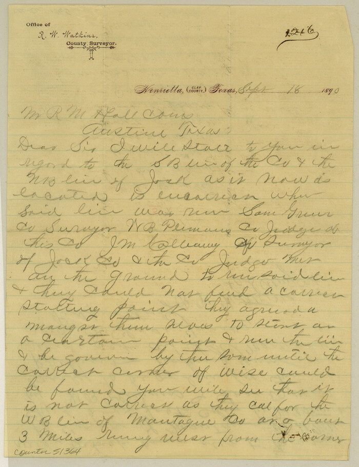
Clay County Boundary File 3

Print $4.00
- Digital $50.00
Clay County Boundary File 3
Size: 11.2 x 8.6 inches
51364
Clay County Boundary File 4


Print $14.00
- Digital $50.00
Clay County Boundary File 4
Size: 10.1 x 6.7 inches
51366
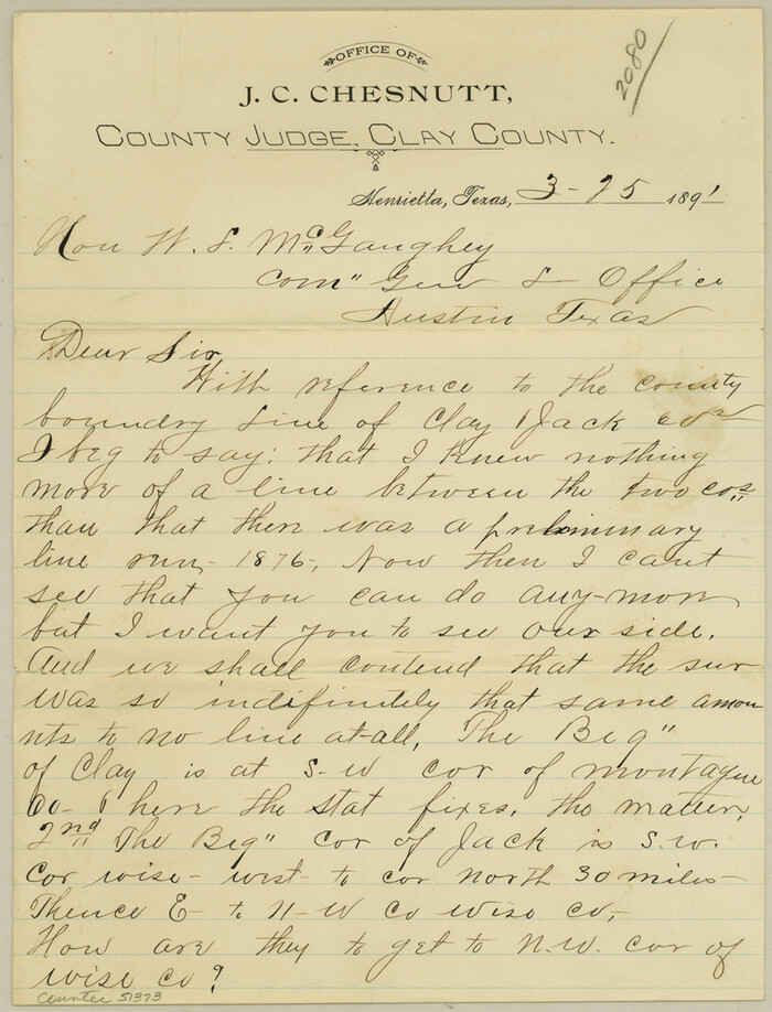
Clay County Boundary File 5

Print $6.00
- Digital $50.00
Clay County Boundary File 5
Size: 11.1 x 8.5 inches
51373
Clay County Boundary File 6


Print $2.00
- Digital $50.00
Clay County Boundary File 6
Size: 8.1 x 3.5 inches
51376
Clay County Boundary File 7


Print $14.00
- Digital $50.00
Clay County Boundary File 7
Size: 14.3 x 8.8 inches
51377
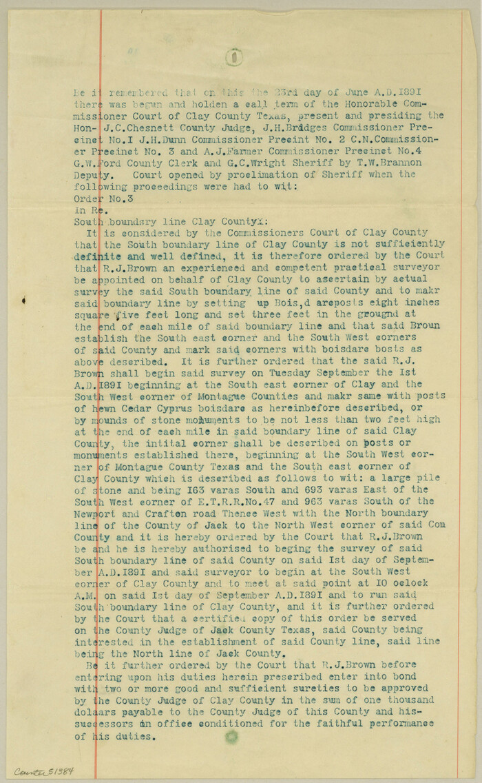
Clay County Boundary File 8

Print $18.00
- Digital $50.00
Clay County Boundary File 8
Size: 13.3 x 8.2 inches
51384
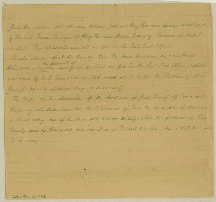
Clay County Boundary File 9

Print $8.00
- Digital $50.00
Clay County Boundary File 9
Size: 7.7 x 8.2 inches
51393
Archer County Rolled Sketch 9


Print $20.00
- Digital $50.00
Archer County Rolled Sketch 9
1891
-
Size
35.9 x 30.6 inches
-
Map/Doc
5104
-
Creation Date
1891
Archer County Rolled Sketch B2


Print $20.00
- Digital $50.00
Archer County Rolled Sketch B2
1891
-
Size
36.7 x 30.7 inches
-
Map/Doc
5105
-
Creation Date
1891
Archer County Working Sketch 15


Print $20.00
- Digital $50.00
Archer County Working Sketch 15
1948
-
Size
20.7 x 31.9 inches
-
Map/Doc
67156
-
Creation Date
1948
Archer County Working Sketch 4


Print $40.00
- Digital $50.00
Archer County Working Sketch 4
1918
-
Size
49.9 x 68.3 inches
-
Map/Doc
67144
-
Creation Date
1918
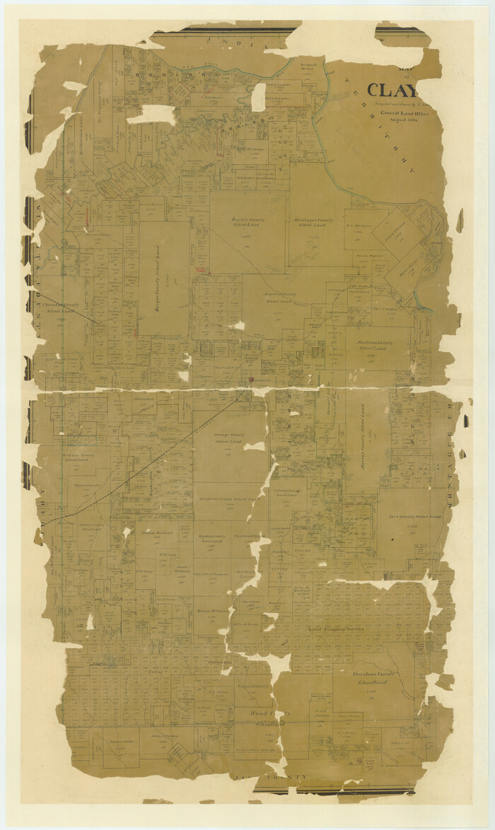
Clay Co.

Print $40.00
- Digital $50.00
Clay Co.
1924
-
Size
53.8 x 34.6 inches
-
Map/Doc
4745
-
Creation Date
1924
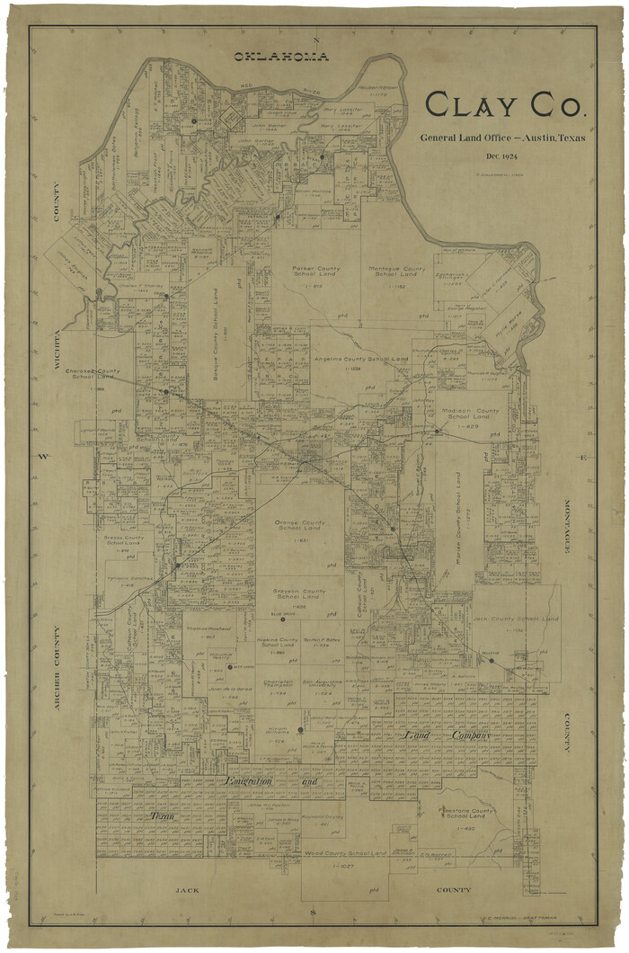
Clay Co.

Print $40.00
- Digital $50.00
Clay Co.
1924
-
Size
54.0 x 35.8 inches
-
Map/Doc
66754
-
Creation Date
1924
Clay County
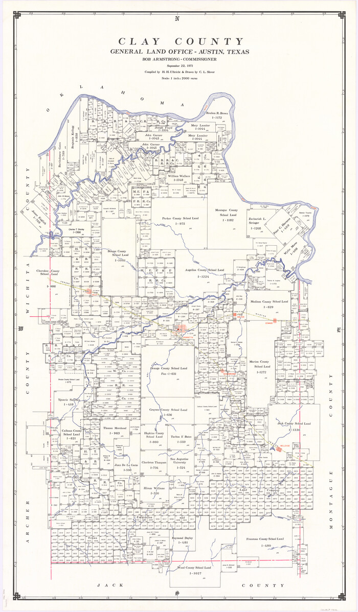

Print $40.00
- Digital $50.00
Clay County
1971
-
Size
59.1 x 34.8 inches
-
Map/Doc
73106
-
Creation Date
1971
Clay County
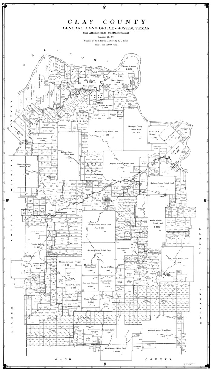

Print $40.00
- Digital $50.00
Clay County
1971
-
Size
59.0 x 33.3 inches
-
Map/Doc
77238
-
Creation Date
1971
Clay County


Print $40.00
- Digital $50.00
Clay County
1971
-
Size
60.2 x 35.0 inches
-
Map/Doc
95455
-
Creation Date
1971
Clay County Boundary File 1


Print $10.00
- Digital $50.00
Clay County Boundary File 1
-
Size
8.8 x 11.2 inches
-
Map/Doc
51356
Clay County Boundary File 10


Print $6.00
- Digital $50.00
Clay County Boundary File 10
-
Size
14.2 x 8.8 inches
-
Map/Doc
51397
Clay County Boundary File 11


Print $12.00
- Digital $50.00
Clay County Boundary File 11
-
Size
14.0 x 8.4 inches
-
Map/Doc
51400
Clay County Boundary File 12


Print $8.00
- Digital $50.00
Clay County Boundary File 12
-
Size
14.3 x 8.8 inches
-
Map/Doc
51406
Clay County Boundary File 13


Print $48.00
- Digital $50.00
Clay County Boundary File 13
-
Size
10.6 x 9.1 inches
-
Map/Doc
51410
Clay County Boundary File 14


Print $80.00
- Digital $50.00
Clay County Boundary File 14
-
Size
63.1 x 15.4 inches
-
Map/Doc
51416
Clay County Boundary File 15


Print $8.00
- Digital $50.00
Clay County Boundary File 15
-
Size
13.3 x 8.2 inches
-
Map/Doc
51418
Clay County Boundary File 16


Print $56.00
- Digital $50.00
Clay County Boundary File 16
-
Size
9.1 x 3.7 inches
-
Map/Doc
51422
Clay County Boundary File 17


Print $8.00
- Digital $50.00
Clay County Boundary File 17
-
Size
13.8 x 8.4 inches
-
Map/Doc
51432
Clay County Boundary File 17a


Print $40.00
- Digital $50.00
Clay County Boundary File 17a
-
Size
47.0 x 22.0 inches
-
Map/Doc
51435
Clay County Boundary File 18


Print $12.00
- Digital $50.00
Clay County Boundary File 18
-
Size
14.2 x 8.5 inches
-
Map/Doc
51437
Clay County Boundary File 18a


Print $80.00
- Digital $50.00
Clay County Boundary File 18a
-
Size
65.3 x 17.3 inches
-
Map/Doc
51443
Clay County Boundary File 19


Print $8.00
- Digital $50.00
Clay County Boundary File 19
1924
-
Size
3.3 x 5.5 inches
-
Map/Doc
65511
-
Creation Date
1924
Clay County Boundary File 2


Print $6.00
- Digital $50.00
Clay County Boundary File 2
-
Size
10.5 x 8.2 inches
-
Map/Doc
51361
Clay County Boundary File 3


Print $4.00
- Digital $50.00
Clay County Boundary File 3
-
Size
11.2 x 8.6 inches
-
Map/Doc
51364
Clay County Boundary File 4


Print $14.00
- Digital $50.00
Clay County Boundary File 4
-
Size
10.1 x 6.7 inches
-
Map/Doc
51366
Clay County Boundary File 5


Print $6.00
- Digital $50.00
Clay County Boundary File 5
-
Size
11.1 x 8.5 inches
-
Map/Doc
51373
Clay County Boundary File 6


Print $2.00
- Digital $50.00
Clay County Boundary File 6
-
Size
8.1 x 3.5 inches
-
Map/Doc
51376
Clay County Boundary File 7


Print $14.00
- Digital $50.00
Clay County Boundary File 7
-
Size
14.3 x 8.8 inches
-
Map/Doc
51377
Clay County Boundary File 8


Print $18.00
- Digital $50.00
Clay County Boundary File 8
-
Size
13.3 x 8.2 inches
-
Map/Doc
51384
Clay County Boundary File 9


Print $8.00
- Digital $50.00
Clay County Boundary File 9
-
Size
7.7 x 8.2 inches
-
Map/Doc
51393