
A Compleat Map of the West Indies, containing the Coasts of Florida, Louisiana, New Spain, and Terra Firma: with all the Islands
1774
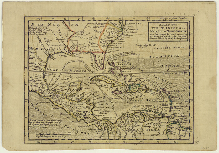
A Map of the West-Indies & c., Mexico or New Spain. Also ye trade winds and ye several tracts made by ye Galeons and Flota from place to place
1729

Aerial Perspective of Packery Channel
1938
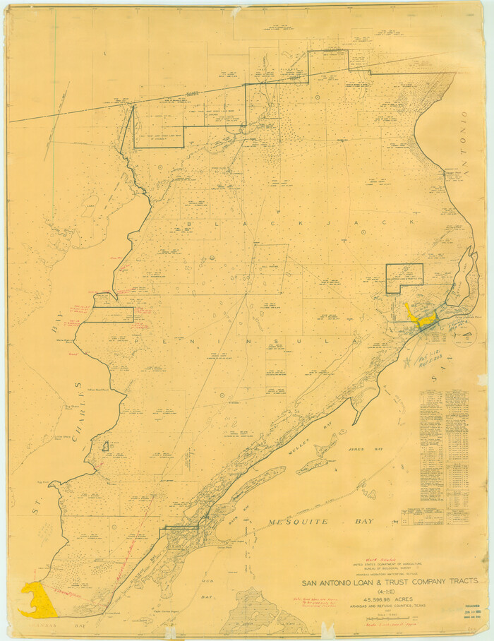
Aransas Migratory Waterfowl Refuge in Aransas and Refugio Counties
1937
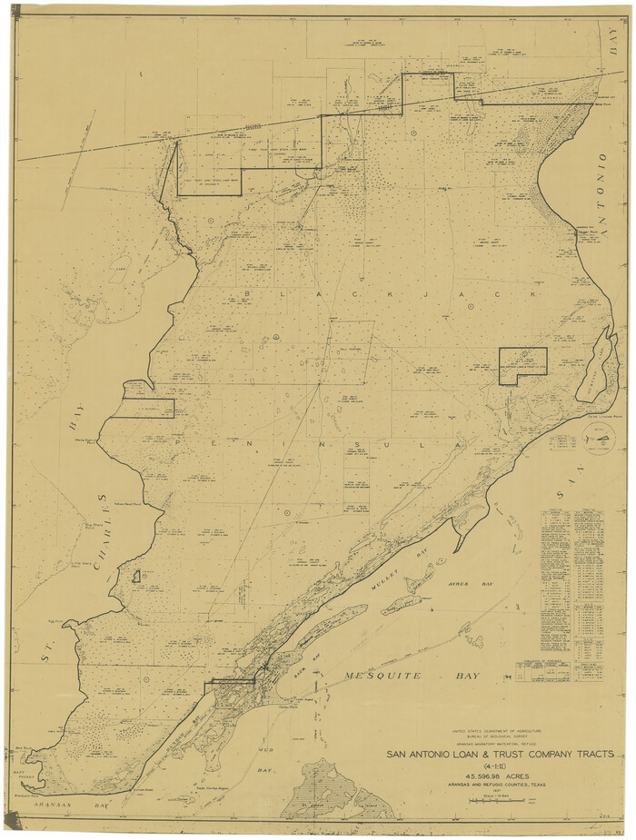
Aransas Migratory Waterfowl Refuge, San Antonio Loan & Trust Company Tracts, 45,596.98 acres, Aransas and Refugio Counties
1937

Bahia de S. Bernardo
1809

Baie de Galvez-Town
1820
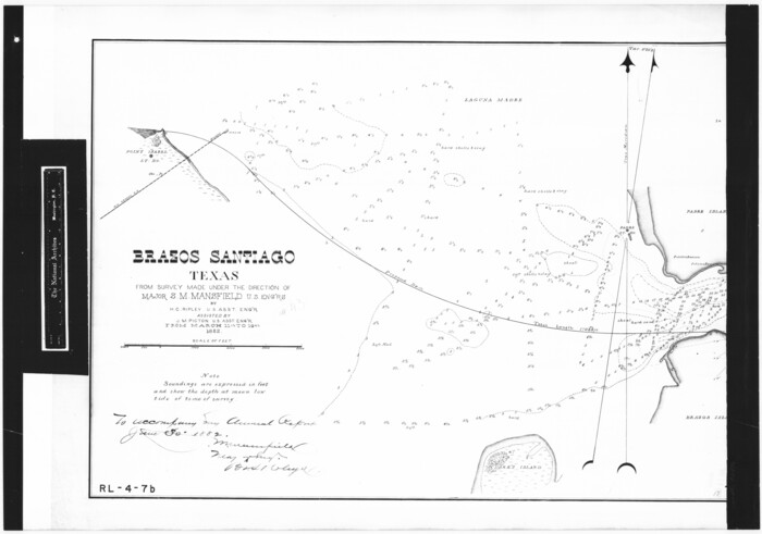
Brazos Santiago, Texas
1882
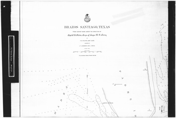
Brazos Santiago, Texas
1900

Brazos Santiago, Texas
1867
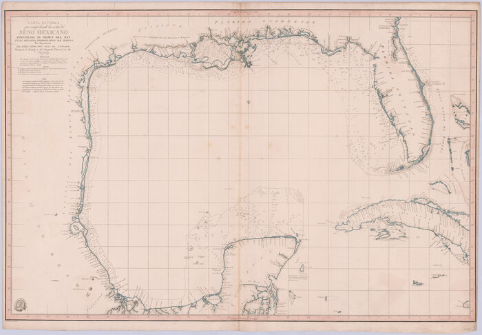
Carta Esferica que comprehende las costas del Seno Mexicano construida de orden del rey en el deposito hidrografico de marina: Por disposicion del Exmo. Señor Don Juan de Langara, Secretario de Estado y del Despacho Universal de ella. Año de 1799.
1799

Carta Esférica del Seno Mexicano y Canales Viexo y de Bama
1797
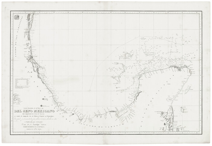
Carta Particular de la Parte sur del Seno Mexicano que comprehende las Cóstas de Yucatan y Sonda de Campeche, las de Tabasco, Veracruz y Tamaulipas
1825

Carta Particular de las Costas Setentrionales del Seno Mexicano que comprehende las de la Florida Ocidental las Margenes de la Luisiana y toda la rivera que sigue por la Bahía de San Bernardo y el Río Bravo del Norte hasta la Laguna Madre
1825

Carta Particular de las Costas Setentrionales del Seno Mexicano que comprehende las de la Florída Ocidental las Márgenes de la Luisiana y toda la rivera que sigue por la Bahía de S. Bernardo y el Rio Bravo del Norte hasta la Laguna Madre
1807

Carta geográfica que comprende en su extensión mucha parte del arzobispado de México, y alguna de los obispados de Puebla, Valladolid de Michoacán, Guadalajara y Durango, confinantes entre si
1779

Carte Geo-Hydrographique du Golfe du Mexique et de ses Isles construite d'après les mémoires les plus recens, et assujeties, pour l'emplacement de ces principales positions aux latitudes et longitudes
1771

Carte Reduite des Costes de la Louisiane et de la Floride
1764

Carte Reduite du Golphe du Mexique et des isles de l'Amerique dressée au depost des cartes et plans de la Marine pour le service des vaisseaux du Roy
1774

Carte d'une partie de l'Amérique Séptentrionale, qui contient partie de la Nle. Espagne, et de la Louisiane
1782

Carte de la côte de la Louisiane depuis la Baye St. Joseph, jusqu'à celle de St. Bernard où tous les ports et bons mouillages sont marquez par des ancres; avec la quantité de piés d'eau que l'on y trouve.
1732

Carte des Côtes du Golfe du Mexique compris entre la Pointe Sud de la Presqu'Ile de la Floride et la Pointe Nord de la Presqu'Ile d'Yucatan
1800
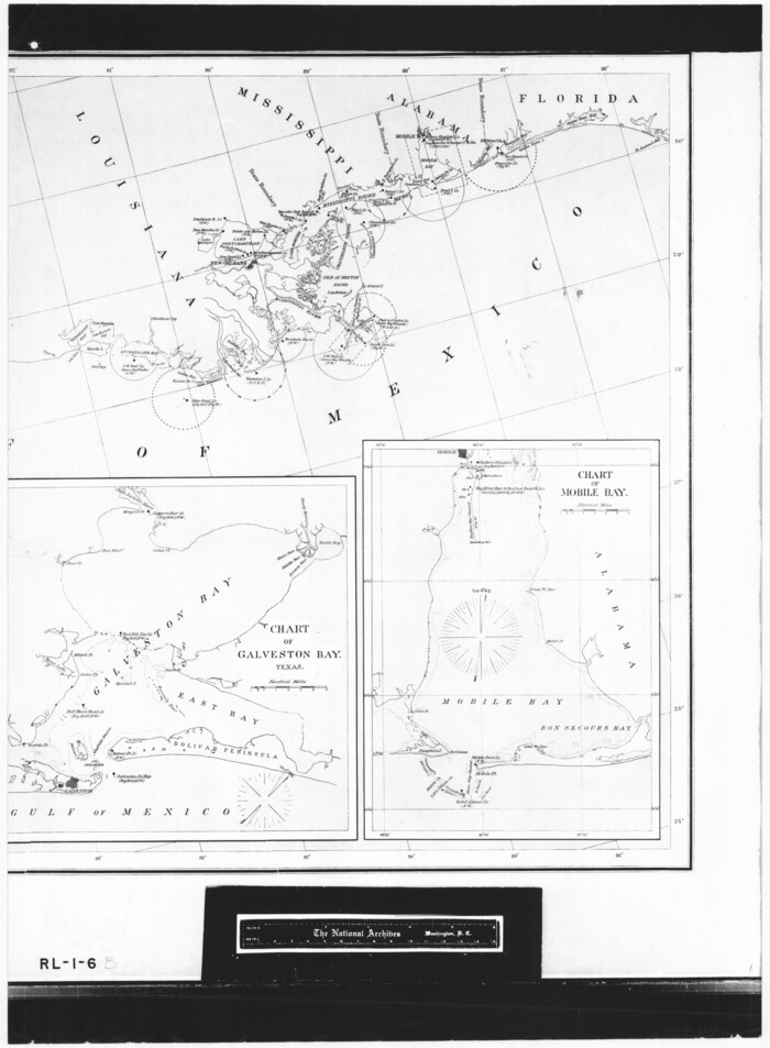
Chart showing the positions of the lights in the Eighth L. H. District extending from the Perdido River, Florida to the Rio Grande, Texas
1876
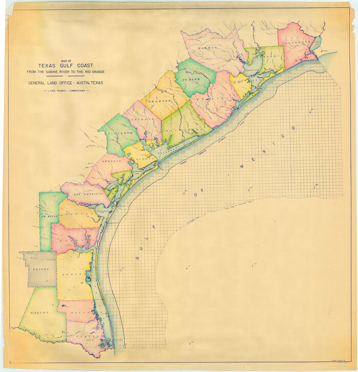
Colored Map of Texas Gulf Coast from Sabine River to the Rio Grande
1950

Copy of a chart of Aransas and Corpus Christi Bays by an inhabitant of St. Joseph's Island, the main features of which have been verified by the actual examination of myself & other officers of the Army
1846

Copy of a chart of Aransas and Corpus Christi Bays by an inhabitant of St. Joseph's Island, the main features of which have been verified by the examinations of Capt. Crosman and other officers of the army
1845

Current Miscellaneous File 15
1951
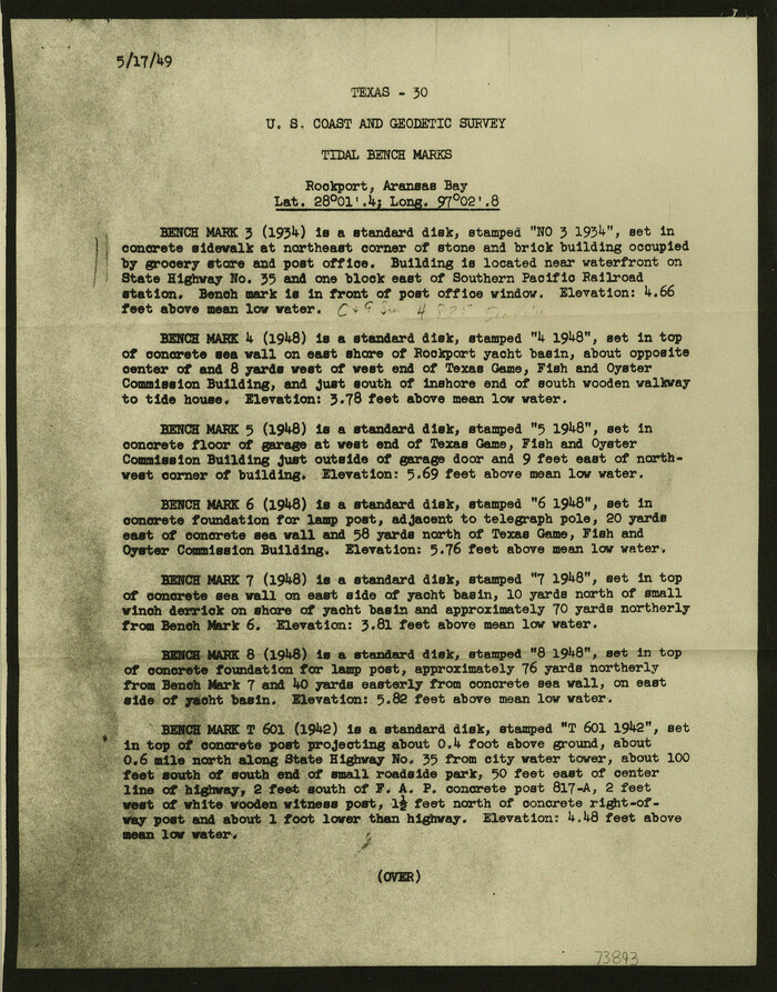
Current Miscellaneous File 24a
1949

A Compleat Map of the West Indies, containing the Coasts of Florida, Louisiana, New Spain, and Terra Firma: with all the Islands
1774
-
Size
13.9 x 19.0 inches
-
Map/Doc
97400
-
Creation Date
1774

A Map of the West-Indies & c., Mexico or New Spain. Also ye trade winds and ye several tracts made by ye Galeons and Flota from place to place
1729
-
Size
9.5 x 13.6 inches
-
Map/Doc
94087
-
Creation Date
1729

Aerial Perspective of Packery Channel
1938
-
Size
16.5 x 19.3 inches
-
Map/Doc
3001
-
Creation Date
1938

Aransas Migratory Waterfowl Refuge in Aransas and Refugio Counties
1937
-
Size
40.3 x 31.0 inches
-
Map/Doc
2693
-
Creation Date
1937

Aransas Migratory Waterfowl Refuge, San Antonio Loan & Trust Company Tracts, 45,596.98 acres, Aransas and Refugio Counties
1937
-
Size
41.1 x 30.8 inches
-
Map/Doc
3073
-
Creation Date
1937

Bahia de S. Bernardo
1809
-
Size
17.0 x 25.2 inches
-
Map/Doc
95142
-
Creation Date
1809

Baie de Galvez-Town
1820
-
Size
10.3 x 12.9 inches
-
Map/Doc
95832
-
Creation Date
1820

Brassos Santiago
1853
-
Size
25.3 x 18.3 inches
-
Map/Doc
72913
-
Creation Date
1853

Brazos Santiago
1884
-
Size
24.4 x 18.2 inches
-
Map/Doc
73030
-
Creation Date
1884

Brazos Santiago, Texas
1882
-
Size
18.3 x 26.0 inches
-
Map/Doc
72986
-
Creation Date
1882

Brazos Santiago, Texas
1900
-
Size
18.2 x 27.1 inches
-
Map/Doc
73034
-
Creation Date
1900

Brazos Santiago, Texas
1867
-
Size
27.1 x 18.3 inches
-
Map/Doc
73035
-
Creation Date
1867

Carta Esferica que comprehende las costas del Seno Mexicano construida de orden del rey en el deposito hidrografico de marina: Por disposicion del Exmo. Señor Don Juan de Langara, Secretario de Estado y del Despacho Universal de ella. Año de 1799.
1799
-
Size
25.9 x 37.3 inches
-
Map/Doc
95367
-
Creation Date
1799

Carta Esférica del Seno Mexicano y Canales Viexo y de Bama
1797
-
Size
26.7 x 47.1 inches
-
Map/Doc
94569
-
Creation Date
1797

Carta Particular de la Parte sur del Seno Mexicano que comprehende las Cóstas de Yucatan y Sonda de Campeche, las de Tabasco, Veracruz y Tamaulipas
1825
-
Size
26.6 x 38.5 inches
-
Map/Doc
94567
-
Creation Date
1825

Carta Particular de las Costas Setentrionales del Seno Mexicano que comprehende las de la Florida Ocidental las Margenes de la Luisiana y toda la rivera que sigue por la Bahía de San Bernardo y el Río Bravo del Norte hasta la Laguna Madre
1825
-
Size
26.1 x 38.7 inches
-
Map/Doc
94568
-
Creation Date
1825

Carta Particular de las Costas Setentrionales del Seno Mexicano que comprehende las de la Florída Ocidental las Márgenes de la Luisiana y toda la rivera que sigue por la Bahía de S. Bernardo y el Rio Bravo del Norte hasta la Laguna Madre
1807
-
Size
27.3 x 40.3 inches
-
Map/Doc
94565
-
Creation Date
1807

Carta geográfica que comprende en su extensión mucha parte del arzobispado de México, y alguna de los obispados de Puebla, Valladolid de Michoacán, Guadalajara y Durango, confinantes entre si
1779
por cuio medio el Sr. Don Eusebio Ventura Beleña, del consejo de S.M., su alcalde del crimen en la...
-
Size
33.9 x 22.0 inches
-
Map/Doc
97079
-
Creation Date
1779

Carte Geo-Hydrographique du Golfe du Mexique et de ses Isles construite d'après les mémoires les plus recens, et assujeties, pour l'emplacement de ces principales positions aux latitudes et longitudes
1771
-
Size
15.0 x 20.5 inches
-
Map/Doc
94108
-
Creation Date
1771

Carte Reduite des Costes de la Louisiane et de la Floride
1764
-
Size
23.3 x 35.1 inches
-
Map/Doc
79295
-
Creation Date
1764

Carte Reduite du Golphe du Mexique et des isles de l'Amerique dressée au depost des cartes et plans de la Marine pour le service des vaisseaux du Roy
1774
-
Size
25.5 x 32.9 inches
-
Map/Doc
94097
-
Creation Date
1774

Carte d'une partie de l'Amérique Séptentrionale, qui contient partie de la Nle. Espagne, et de la Louisiane
1782
-
Size
14.1 x 18.5 inches
-
Map/Doc
94096
-
Creation Date
1782

Carte de la côte de la Louisiane depuis la Baye St. Joseph, jusqu'à celle de St. Bernard où tous les ports et bons mouillages sont marquez par des ancres; avec la quantité de piés d'eau que l'on y trouve.
1732
-
Size
11.4 x 32.7 inches
-
Map/Doc
93607
-
Creation Date
1732

Carte des Côtes du Golfe du Mexique compris entre la Pointe Sud de la Presqu'Ile de la Floride et la Pointe Nord de la Presqu'Ile d'Yucatan
1800
-
Size
26.0 x 37.5 inches
-
Map/Doc
95322
-
Creation Date
1800

Chart showing the positions of the lights in the Eighth L. H. District extending from the Perdido River, Florida to the Rio Grande, Texas
1876
-
Size
25.0 x 18.3 inches
-
Map/Doc
72681
-
Creation Date
1876

Colored Map of Texas Gulf Coast from Sabine River to the Rio Grande
1950
-
Size
44.7 x 43.0 inches
-
Map/Doc
3014
-
Creation Date
1950

Copy of a chart of Aransas and Corpus Christi Bays by an inhabitant of St. Joseph's Island, the main features of which have been verified by the actual examination of myself & other officers of the Army
1846
-
Size
26.6 x 18.3 inches
-
Map/Doc
72972
-
Creation Date
1846

Copy of a chart of Aransas and Corpus Christi Bays by an inhabitant of St. Joseph's Island, the main features of which have been verified by the examinations of Capt. Crosman and other officers of the army
1845
-
Size
26.4 x 18.5 inches
-
Map/Doc
73013
-
Creation Date
1845

Current Miscellaneous File 15
1951
-
Size
10.7 x 8.2 inches
-
Map/Doc
73822
-
Creation Date
1951

Current Miscellaneous File 24a
1949
-
Size
11.0 x 8.6 inches
-
Map/Doc
73893
-
Creation Date
1949