[Texas Gulf Coast from Rio Grande to Sabine Lake]
RL-1-7b
-
Map/Doc
72688
-
Collection
General Map Collection
-
Subjects
Gulf of Mexico
-
Height x Width
27.8 x 18.3 inches
70.6 x 46.5 cm
-
Comments
B/W photostat copy from National Archives in multiple pieces.
Part of: General Map Collection
[Surveys along Seco Creek]
![268, [Surveys along Seco Creek], General Map Collection](https://historictexasmaps.com/wmedia_w700/maps/268.tif.jpg)
![268, [Surveys along Seco Creek], General Map Collection](https://historictexasmaps.com/wmedia_w700/maps/268.tif.jpg)
Print $3.00
- Digital $50.00
[Surveys along Seco Creek]
1847
Size 14.6 x 9.8 inches
Map/Doc 268
Henderson County Working Sketch 43


Print $20.00
- Digital $50.00
Henderson County Working Sketch 43
1994
Size 36.7 x 39.0 inches
Map/Doc 66176
South Part of Webb County


Print $40.00
- Digital $50.00
South Part of Webb County
1984
Size 44.1 x 64.9 inches
Map/Doc 95670
McCulloch County Rolled Sketch 1
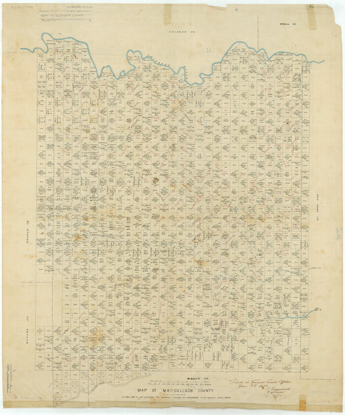

Print $20.00
- Digital $50.00
McCulloch County Rolled Sketch 1
Size 44.4 x 36.9 inches
Map/Doc 9495
Township No. 1 South Range No. 25 West of the Indian Meridian
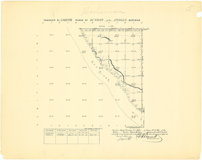

Print $20.00
- Digital $50.00
Township No. 1 South Range No. 25 West of the Indian Meridian
1875
Size 19.2 x 24.3 inches
Map/Doc 75248
Webb County Sketch File 25


Print $20.00
- Digital $50.00
Webb County Sketch File 25
1936
Size 18.2 x 30.7 inches
Map/Doc 12639
Crockett County Rolled Sketch 65
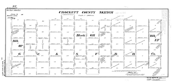

Print $20.00
- Digital $50.00
Crockett County Rolled Sketch 65
1948
Size 13.4 x 27.5 inches
Map/Doc 5608
[Surveys near Brushy Creek]
![360, [Surveys near Brushy Creek], General Map Collection](https://historictexasmaps.com/wmedia_w700/maps/360.tif.jpg)
![360, [Surveys near Brushy Creek], General Map Collection](https://historictexasmaps.com/wmedia_w700/maps/360.tif.jpg)
Print $2.00
- Digital $50.00
[Surveys near Brushy Creek]
1845
Size 10.0 x 7.9 inches
Map/Doc 360
Reeves County Sketch File 19
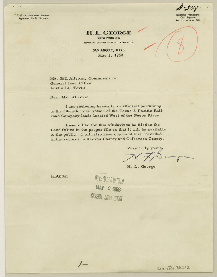

Print $9.00
- Digital $50.00
Reeves County Sketch File 19
1958
Size 11.3 x 8.9 inches
Map/Doc 35212
Surveyors report on resurvey of Capitol Leagues in three parts, also copy of judgement of the District Court, Travis County
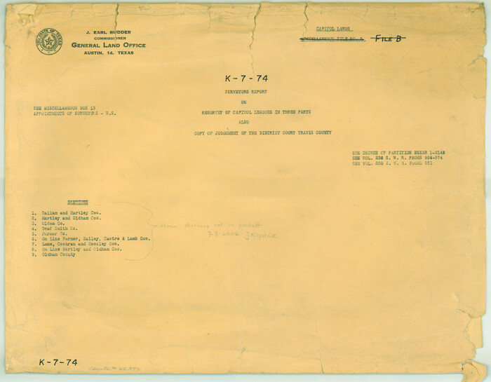

Print $20.00
- Digital $50.00
Surveyors report on resurvey of Capitol Leagues in three parts, also copy of judgement of the District Court, Travis County
Size 12.3 x 15.8 inches
Map/Doc 62579
Flight Mission No. BQR-9K, Frame 49, Brazoria County


Print $20.00
- Digital $50.00
Flight Mission No. BQR-9K, Frame 49, Brazoria County
1952
Size 18.6 x 22.3 inches
Map/Doc 84053
Marion County Working Sketch 34
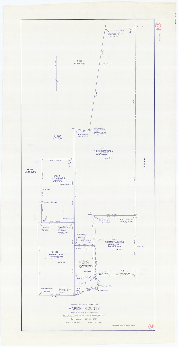

Print $20.00
- Digital $50.00
Marion County Working Sketch 34
1983
Size 45.2 x 23.2 inches
Map/Doc 70810
You may also like
Knox County Rolled Sketch 19
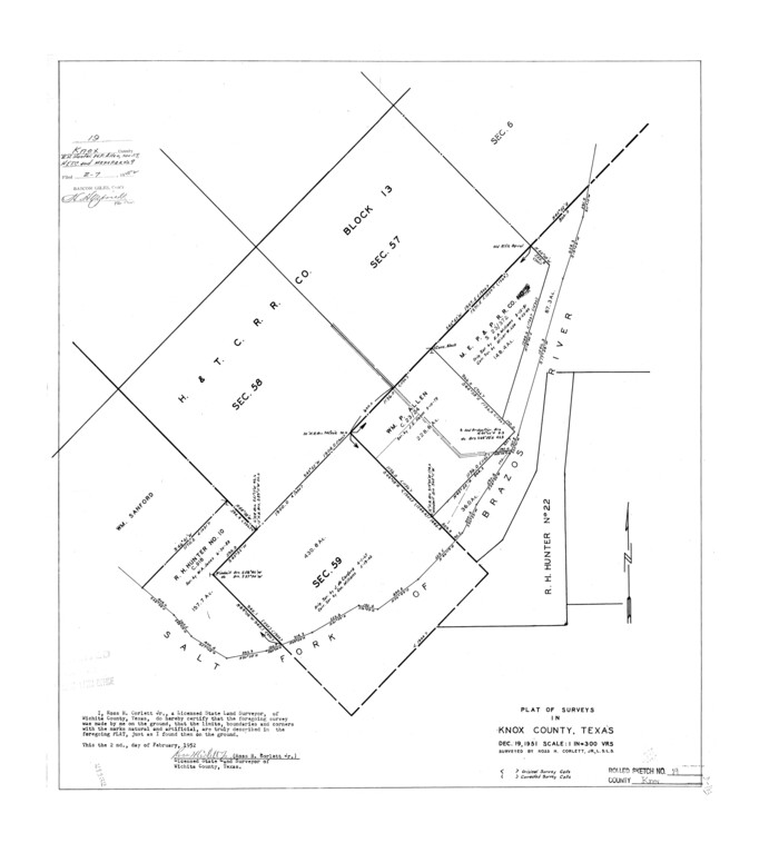

Print $20.00
- Digital $50.00
Knox County Rolled Sketch 19
1952
Size 27.3 x 24.9 inches
Map/Doc 6559
McMullen County Sketch File 46
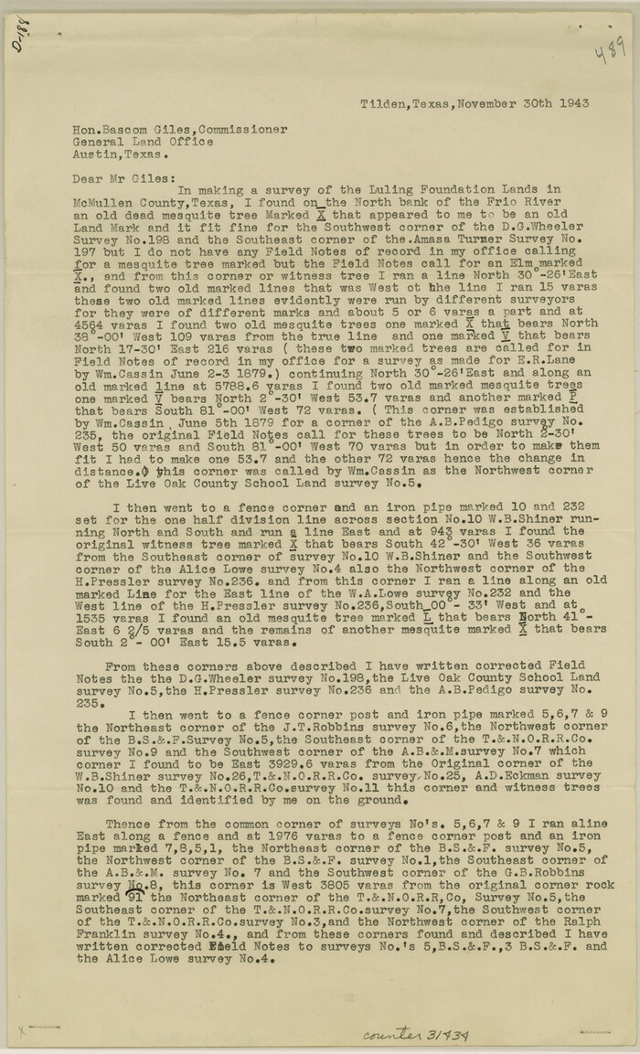

Print $6.00
- Digital $50.00
McMullen County Sketch File 46
1943
Size 14.3 x 8.7 inches
Map/Doc 31434
Red River County Working Sketch 79


Print $40.00
- Digital $50.00
Red River County Working Sketch 79
1986
Size 43.8 x 61.1 inches
Map/Doc 72062
Jefferson County Working Sketch 39


Print $20.00
- Digital $50.00
Jefferson County Working Sketch 39
1984
Size 39.3 x 28.2 inches
Map/Doc 66583
[PSL Blocks A57, 77; B1-B3, T. & P. Block 46, T-1-N]
![90167, [PSL Blocks A57, 77; B1-B3, T. & P. Block 46, T-1-N], Twichell Survey Records](https://historictexasmaps.com/wmedia_w700/maps/90167-1.tif.jpg)
![90167, [PSL Blocks A57, 77; B1-B3, T. & P. Block 46, T-1-N], Twichell Survey Records](https://historictexasmaps.com/wmedia_w700/maps/90167-1.tif.jpg)
Print $20.00
- Digital $50.00
[PSL Blocks A57, 77; B1-B3, T. & P. Block 46, T-1-N]
Size 33.4 x 36.1 inches
Map/Doc 90167
[Block K5, Section 13]
![91453, [Block K5, Section 13], Twichell Survey Records](https://historictexasmaps.com/wmedia_w700/maps/91453-1.tif.jpg)
![91453, [Block K5, Section 13], Twichell Survey Records](https://historictexasmaps.com/wmedia_w700/maps/91453-1.tif.jpg)
Print $20.00
- Digital $50.00
[Block K5, Section 13]
Size 20.7 x 17.2 inches
Map/Doc 91453
Kinney County Sketch File 32
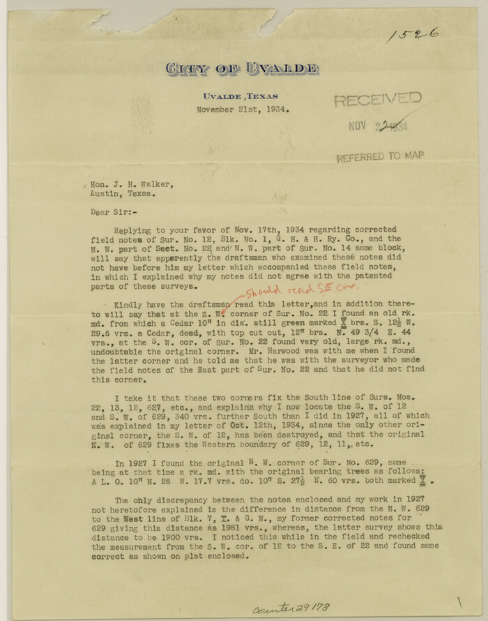

Print $6.00
- Digital $50.00
Kinney County Sketch File 32
1934
Size 11.2 x 8.8 inches
Map/Doc 29178
Jim Wells County Working Sketch 7
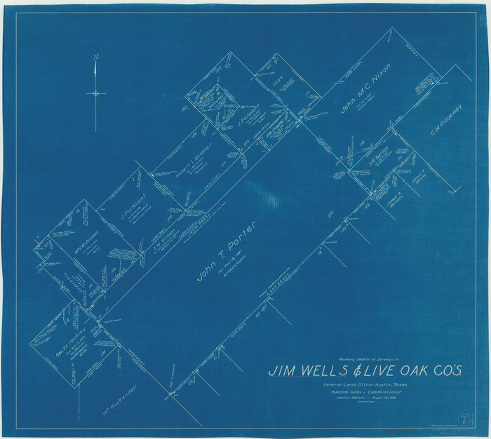

Print $20.00
- Digital $50.00
Jim Wells County Working Sketch 7
1944
Size 26.2 x 29.3 inches
Map/Doc 66605
General Highway Map, Limestone County, Texas


Print $20.00
General Highway Map, Limestone County, Texas
1940
Size 18.3 x 24.9 inches
Map/Doc 79174
No. 3 Chart of Channel connecting Corpus Christi Bay with Aransas Bay, Texas
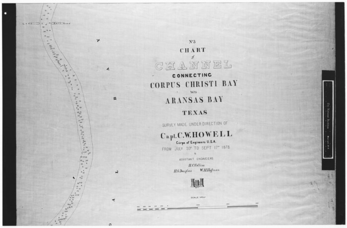

Print $20.00
- Digital $50.00
No. 3 Chart of Channel connecting Corpus Christi Bay with Aransas Bay, Texas
1878
Size 18.4 x 28.0 inches
Map/Doc 72775
San Patricio County Working Sketch 23
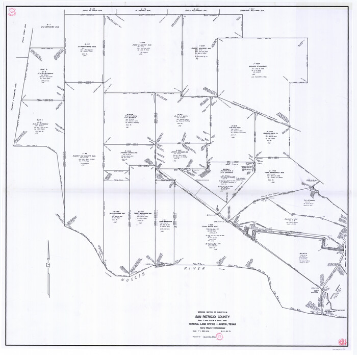

Print $20.00
- Digital $50.00
San Patricio County Working Sketch 23
1984
Size 43.5 x 43.8 inches
Map/Doc 63785
[Abstract Numbering Register - Kaufman through Reagan]
![82967, [Abstract Numbering Register - Kaufman through Reagan], General Map Collection](https://historictexasmaps.com/wmedia_w700/pdf_converted_jpg/qi_pdf_thumbnail_30614.jpg)
![82967, [Abstract Numbering Register - Kaufman through Reagan], General Map Collection](https://historictexasmaps.com/wmedia_w700/pdf_converted_jpg/qi_pdf_thumbnail_30614.jpg)
[Abstract Numbering Register - Kaufman through Reagan]
Map/Doc 82967
![72688, [Texas Gulf Coast from Rio Grande to Sabine Lake], General Map Collection](https://historictexasmaps.com/wmedia_w1800h1800/maps/72688.tif.jpg)