[Surveys along Seco Creek]
Atlas G, Page 2, Sketch 32 (G-2-32)
G-2-32
-
Map/Doc
268
-
Collection
General Map Collection
-
Object Dates
1847 (Creation Date)
-
People and Organizations
John James (Surveyor/Engineer)
-
Counties
Medina
-
Subjects
Atlas
-
Height x Width
14.6 x 9.8 inches
37.1 x 24.9 cm
-
Medium
paper, manuscript
-
Scale
1:4000
-
Comments
Conserved in 2004.
-
Features
Seco Creek
Parker's Creek
Spring Branch [of Parker's Creek]
Part of: General Map Collection
Map of Calhoun County

Print $20.00
- Digital $50.00
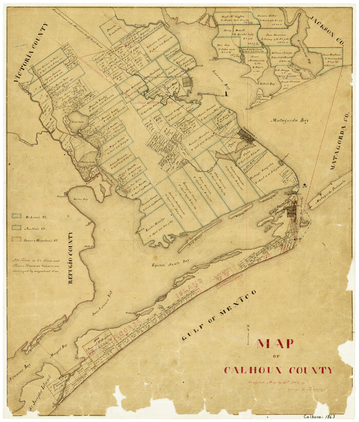
Map of Calhoun County
1863
Size 23.0 x 19.5 inches
Map/Doc 887
Flight Mission No. BRE-2P, Frame 77, Nueces County


Print $20.00
- Digital $50.00
Flight Mission No. BRE-2P, Frame 77, Nueces County
1956
Size 18.4 x 22.2 inches
Map/Doc 86772
Index for Texas Railroad ROW & track maps available on microfilm at THD & Archives and Records

Print $2.00
- Digital $50.00
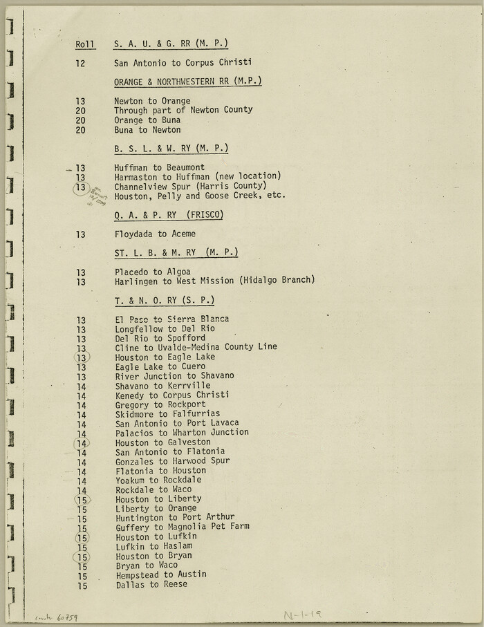
Index for Texas Railroad ROW & track maps available on microfilm at THD & Archives and Records
1977
Size 11.2 x 8.6 inches
Map/Doc 60759
Mason County Boundary File 63


Print $10.00
- Digital $50.00
Mason County Boundary File 63
Size 9.4 x 5.9 inches
Map/Doc 56879
[Surveys along the Lavaca River]
![25, [Surveys along the Lavaca River], General Map Collection](https://historictexasmaps.com/wmedia_w700/maps/25.tif.jpg)
![25, [Surveys along the Lavaca River], General Map Collection](https://historictexasmaps.com/wmedia_w700/maps/25.tif.jpg)
Print $2.00
- Digital $50.00
[Surveys along the Lavaca River]
1833
Size 12.9 x 8.9 inches
Map/Doc 25
Atascosa County Sketch File 3c

Print $4.00
- Digital $50.00
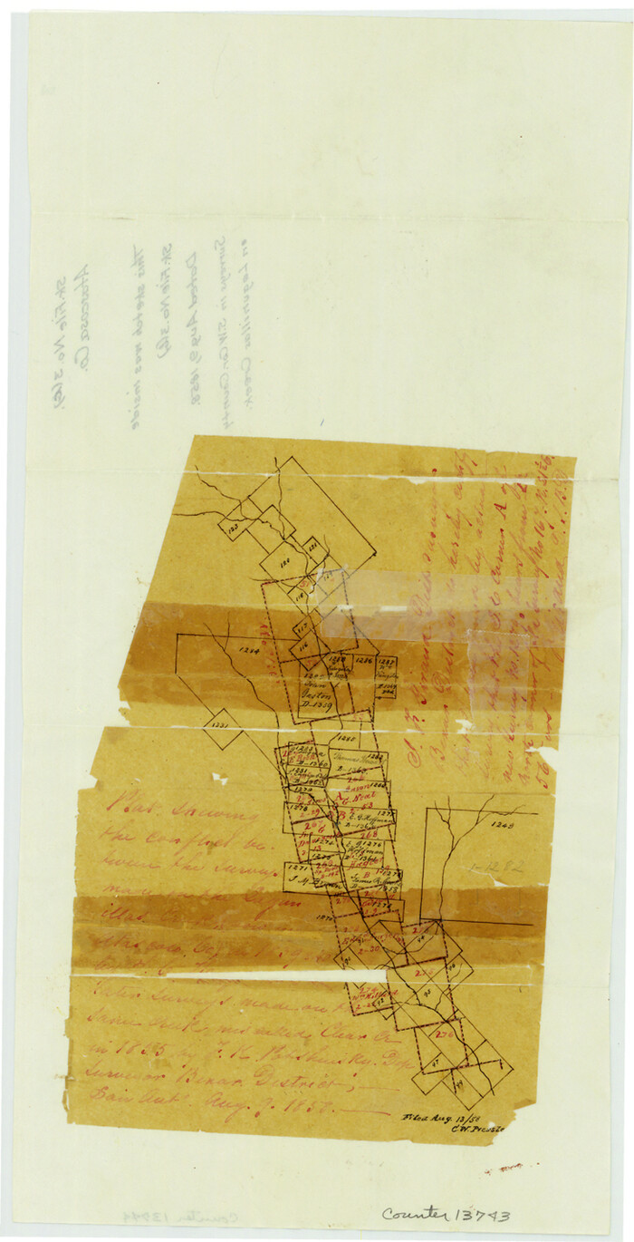
Atascosa County Sketch File 3c
1858
Size 14.3 x 7.3 inches
Map/Doc 13743
Brewster County Rolled Sketch 148B


Print $20.00
- Digital $50.00
Brewster County Rolled Sketch 148B
1994
Size 28.0 x 36.3 inches
Map/Doc 5315
Bosque County Boundary File 11


Print $10.00
- Digital $50.00
Bosque County Boundary File 11
Size 8.8 x 7.0 inches
Map/Doc 50689
Glasscock County Working Sketch 7


Print $20.00
- Digital $50.00
Glasscock County Working Sketch 7
1952
Size 36.8 x 31.9 inches
Map/Doc 63180
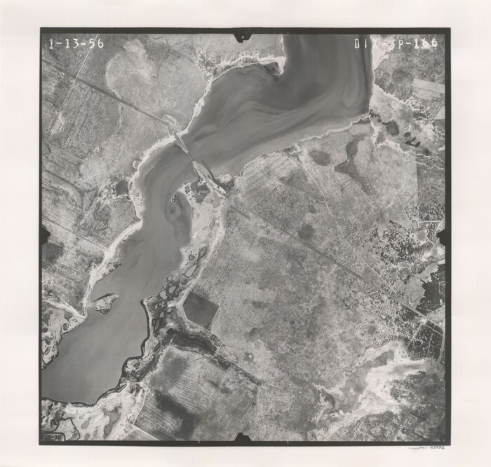
Flight Mission No. DIX-3P, Frame 166, Aransas County

Print $20.00
- Digital $50.00
Flight Mission No. DIX-3P, Frame 166, Aransas County
1956
Size 17.8 x 18.7 inches
Map/Doc 83772
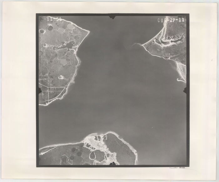
Flight Mission No. CUG-2P, Frame 11, Kleberg County

Print $20.00
- Digital $50.00
Flight Mission No. CUG-2P, Frame 11, Kleberg County
1956
Size 18.5 x 22.2 inches
Map/Doc 86183
You may also like
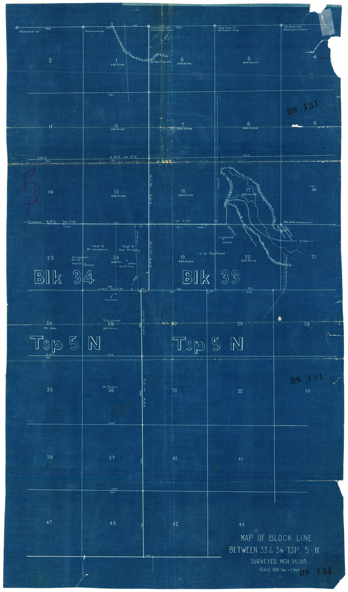
Map of Blockline between 33 and 34, Township 5 North

Print $20.00
- Digital $50.00
Map of Blockline between 33 and 34, Township 5 North
1919
Size 20.5 x 34.5 inches
Map/Doc 92565
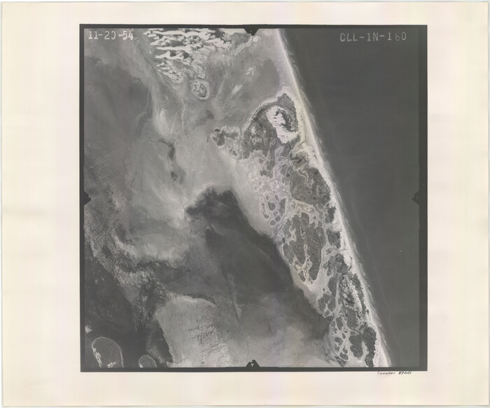
Flight Mission No. CLL-1N, Frame 160, Willacy County

Print $20.00
- Digital $50.00
Flight Mission No. CLL-1N, Frame 160, Willacy County
1954
Size 18.3 x 22.0 inches
Map/Doc 87051
Crockett County Sketch File 4


Print $6.00
- Digital $50.00
Crockett County Sketch File 4
Size 6.4 x 5.2 inches
Map/Doc 19649
Flight Mission No. BRE-1P, Frame 74, Nueces County


Print $20.00
- Digital $50.00
Flight Mission No. BRE-1P, Frame 74, Nueces County
1956
Size 18.5 x 22.3 inches
Map/Doc 86656
[Mary L. Williams or Lydia Glasgow Survey, Bastrop County, Texas]
![572, [Mary L. Williams or Lydia Glasgow Survey, Bastrop County, Texas], Maddox Collection](https://historictexasmaps.com/wmedia_w700/maps/0572-1.tif.jpg)
![572, [Mary L. Williams or Lydia Glasgow Survey, Bastrop County, Texas], Maddox Collection](https://historictexasmaps.com/wmedia_w700/maps/0572-1.tif.jpg)
Print $3.00
- Digital $50.00
[Mary L. Williams or Lydia Glasgow Survey, Bastrop County, Texas]
Size 11.9 x 15.6 inches
Map/Doc 572
Pecos County Rolled Sketch 70
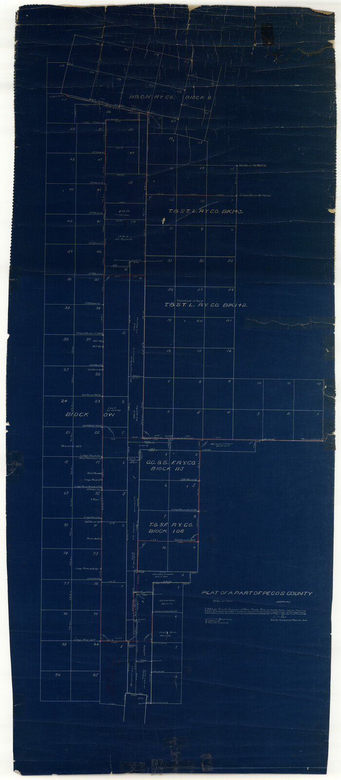

Print $40.00
- Digital $50.00
Pecos County Rolled Sketch 70
1929
Size 49.3 x 21.6 inches
Map/Doc 9708
Nueces County NRC Article 33.136 Sketch 1
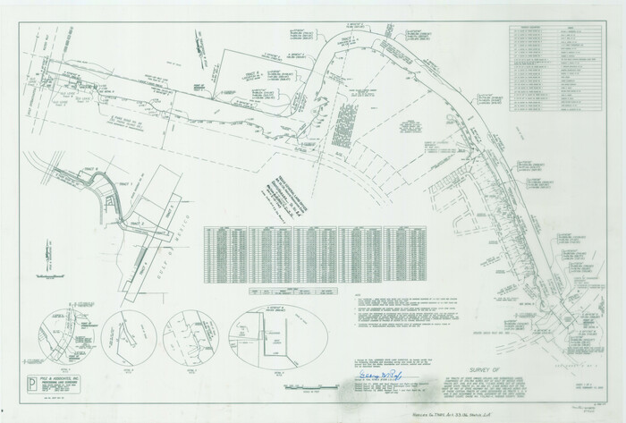

Print $274.00
- Digital $50.00
Nueces County NRC Article 33.136 Sketch 1
2002
Size 24.5 x 36.3 inches
Map/Doc 87920
Sherman County Boundary File 1
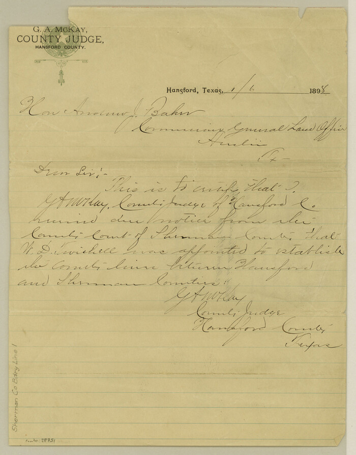

Print $20.00
- Digital $50.00
Sherman County Boundary File 1
Size 11.4 x 8.9 inches
Map/Doc 58751
[Sections 67-76, Block 47]
![91789, [Sections 67-76, Block 47], Twichell Survey Records](https://historictexasmaps.com/wmedia_w700/maps/91789-1.tif.jpg)
![91789, [Sections 67-76, Block 47], Twichell Survey Records](https://historictexasmaps.com/wmedia_w700/maps/91789-1.tif.jpg)
Print $2.00
- Digital $50.00
[Sections 67-76, Block 47]
Size 11.4 x 8.9 inches
Map/Doc 91789
Shelby County Working Sketch 10
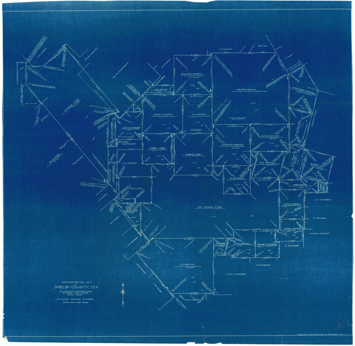

Print $20.00
- Digital $50.00
Shelby County Working Sketch 10
1945
Size 42.8 x 43.9 inches
Map/Doc 63863
The Republic County of Harris. Proposed, Late Fall 1837-May 15, 1838


Print $20.00
The Republic County of Harris. Proposed, Late Fall 1837-May 15, 1838
2020
Size 17.7 x 21.7 inches
Map/Doc 96162
Pecos County Sketch File 27A


Print $20.00
- Digital $50.00
Pecos County Sketch File 27A
Size 26.7 x 19.8 inches
Map/Doc 12166
![268, [Surveys along Seco Creek], General Map Collection](https://historictexasmaps.com/wmedia_w1800h1800/maps/268.tif.jpg)
