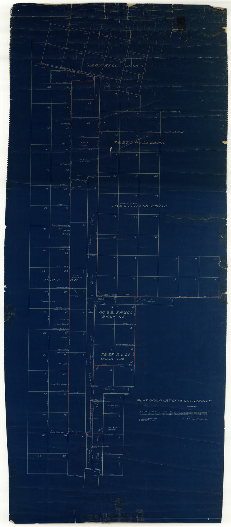
Pecos County Rolled Sketch 70
Plat of a part of Pecos County
-
Map/Doc
9708
-
Collection
General Map Collection
-
Object Dates
1929/7/20 (Creation Date)
1929/7/18 (Survey Date)
-
People and Organizations
A.N. Lea (Surveyor/Engineer)
-
Counties
Pecos
-
Subjects
Surveying Rolled Sketch
-
Height x Width
49.3 x 21.6 inches
125.2 x 54.9 cm
-
Medium
blueprint/diazo
-
Scale
1" = 1000 varas
Part of: General Map Collection
Presidio County Working Sketch 38

Print $20.00
- Digital $50.00
Presidio County Working Sketch 38
1948
Size 35.0 x 22.2 inches
Map/Doc 71715
Val Verde County Working Sketch 90

Print $40.00
- Digital $50.00
Val Verde County Working Sketch 90
1974
Size 49.1 x 32.9 inches
Map/Doc 72225
Presidio County Sketch File 32

Print $8.00
- Digital $50.00
Presidio County Sketch File 32
1885
Size 11.2 x 8.7 inches
Map/Doc 34472
Map of Survey of that portion of Fort Crockett, County of Galveston, Texas, lying east of 53rd Street & West of 39th Street, City of Galveston

Print $40.00
- Digital $50.00
Map of Survey of that portion of Fort Crockett, County of Galveston, Texas, lying east of 53rd Street & West of 39th Street, City of Galveston
1957
Size 23.0 x 59.8 inches
Map/Doc 73618
Aransas County Working Sketch 16

Print $40.00
- Digital $50.00
Aransas County Working Sketch 16
1965
Size 55.3 x 43.1 inches
Map/Doc 67183
Dimmit County Sketch File 33

Print $4.00
- Digital $50.00
Dimmit County Sketch File 33
1884
Size 8.2 x 8.4 inches
Map/Doc 21151
Throckmorton County Sketch File 10

Print $6.00
- Digital $50.00
Throckmorton County Sketch File 10
1955
Size 11.2 x 8.8 inches
Map/Doc 38102
Map of Chocolate Bay, west portion of West Bay & vicinity, Brazoria & Galveston Counties showing subdivision for mineral development

Print $40.00
- Digital $50.00
Map of Chocolate Bay, west portion of West Bay & vicinity, Brazoria & Galveston Counties showing subdivision for mineral development
1948
Size 42.2 x 55.2 inches
Map/Doc 2974
Plat of the Resubdivision of the Abandoned Townsite of Eschiti, Oklahoma

Print $4.00
- Digital $50.00
Plat of the Resubdivision of the Abandoned Townsite of Eschiti, Oklahoma
1907
Size 18.1 x 24.3 inches
Map/Doc 75150
[Right of Way & Track Map, The Texas & Pacific Ry. Co. Main Line]
![64689, [Right of Way & Track Map, The Texas & Pacific Ry. Co. Main Line], General Map Collection](https://historictexasmaps.com/wmedia_w700/maps/64689.tif.jpg)
Print $20.00
- Digital $50.00
[Right of Way & Track Map, The Texas & Pacific Ry. Co. Main Line]
Size 11.0 x 19.0 inches
Map/Doc 64689
West Part of Edwards County

Print $40.00
- Digital $50.00
West Part of Edwards County
1975
Size 59.9 x 39.7 inches
Map/Doc 95489
Erath County Sketch File 14

Print $4.00
- Digital $50.00
Erath County Sketch File 14
1872
Size 13.0 x 8.5 inches
Map/Doc 22290
You may also like
Map of Terry County

Print $20.00
- Digital $50.00
Map of Terry County
Size 26.5 x 27.8 inches
Map/Doc 92908
Val Verde County Working Sketch 18

Print $20.00
- Digital $50.00
Val Verde County Working Sketch 18
1928
Size 31.4 x 28.3 inches
Map/Doc 72153
Real County Working Sketch 6

Print $20.00
- Digital $50.00
Real County Working Sketch 6
1924
Size 21.2 x 9.3 inches
Map/Doc 71898
[Surveys along the Neches River in Jasper District]
![69733, [Surveys along the Neches River in Jasper District], General Map Collection](https://historictexasmaps.com/wmedia_w700/maps/69733.tif.jpg)
Print $2.00
- Digital $50.00
[Surveys along the Neches River in Jasper District]
1847
Size 9.2 x 6.8 inches
Map/Doc 69733
[Tom Green County]
![82060, [Tom Green County], General Map Collection](https://historictexasmaps.com/wmedia_w700/maps/82060.tif.jpg)
Print $40.00
- Digital $50.00
[Tom Green County]
1888
Size 45.8 x 113.0 inches
Map/Doc 82060
Cooke County Sketch File 9

Print $6.00
- Digital $50.00
Cooke County Sketch File 9
Size 8.2 x 10.5 inches
Map/Doc 19237
Starr County Sketch File 31B

Print $14.00
- Digital $50.00
Starr County Sketch File 31B
1936
Size 14.2 x 8.8 inches
Map/Doc 36960
Map of Aransas Co.

Print $20.00
- Digital $50.00
Map of Aransas Co.
1896
Size 38.8 x 36.8 inches
Map/Doc 4874
Pecos County Working Sketch 127

Print $40.00
- Digital $50.00
Pecos County Working Sketch 127
1974
Size 76.7 x 37.8 inches
Map/Doc 71601
Port Series No. 6 - The Ports of Galveston, Houston, and Texas City, Texas

Port Series No. 6 - The Ports of Galveston, Houston, and Texas City, Texas
1924
Map/Doc 97159
Jeff Davis Co.

Print $40.00
- Digital $50.00
Jeff Davis Co.
1915
Size 26.7 x 49.4 inches
Map/Doc 3720
Webb County Rolled Sketch 53

Print $40.00
- Digital $50.00
Webb County Rolled Sketch 53
1944
Size 84.0 x 32.3 inches
Map/Doc 63914