[William Steele Survey near Copano Bay]
Aransas County Miscellaneous Sketch
N-2-35
-
Map/Doc
2082
-
Collection
General Map Collection
-
Object Dates
1927/1/18 (Creation Date)
-
People and Organizations
Fred M. Percival (Surveyor/Engineer)
-
Counties
Aransas Refugio San Patricio
-
Subjects
Gulf of Mexico
-
Height x Width
26.1 x 18.4 inches
66.3 x 46.7 cm
Part of: General Map Collection
Coke County Sketch File 9

Print $4.00
- Digital $50.00
Coke County Sketch File 9
Size 12.6 x 7.9 inches
Map/Doc 18585
Wise County Sketch File 8

Print $4.00
- Digital $50.00
Wise County Sketch File 8
1855
Size 12.2 x 7.8 inches
Map/Doc 40537
Mason County Sketch File 11


Print $8.00
- Digital $50.00
Mason County Sketch File 11
1883
Size 13.5 x 8.6 inches
Map/Doc 30695
Jefferson County NRC Article 33.136 Sketch 12

Print $22.00
- Digital $50.00
Jefferson County NRC Article 33.136 Sketch 12
2017
Size 24.0 x 36.0 inches
Map/Doc 95055
Right of Way and Track Map, the Missouri, Kansas and Texas Ry. of Texas operated by the Missouri, Kansas and Texas Ry. of Texas, San Antonio Division

Print $40.00
- Digital $50.00
Right of Way and Track Map, the Missouri, Kansas and Texas Ry. of Texas operated by the Missouri, Kansas and Texas Ry. of Texas, San Antonio Division
1918
Size 25.2 x 58.8 inches
Map/Doc 64584
[Surveys in Vehlein's Colony along Long King's Creek]
![83, [Surveys in Vehlein's Colony along Long King's Creek], General Map Collection](https://historictexasmaps.com/wmedia_w700/maps/83.tif.jpg)
![83, [Surveys in Vehlein's Colony along Long King's Creek], General Map Collection](https://historictexasmaps.com/wmedia_w700/maps/83.tif.jpg)
Print $20.00
- Digital $50.00
[Surveys in Vehlein's Colony along Long King's Creek]
Size 13.3 x 19.0 inches
Map/Doc 83
Hardin County Rolled Sketch 17
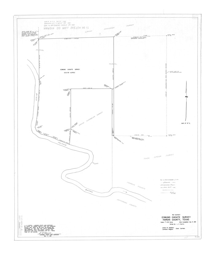

Print $20.00
- Digital $50.00
Hardin County Rolled Sketch 17
1951
Size 38.3 x 32.4 inches
Map/Doc 6087
Brewster County Working Sketch 102


Print $20.00
- Digital $50.00
Brewster County Working Sketch 102
1980
Size 40.0 x 43.3 inches
Map/Doc 67702
Grayson County Working Sketch 12
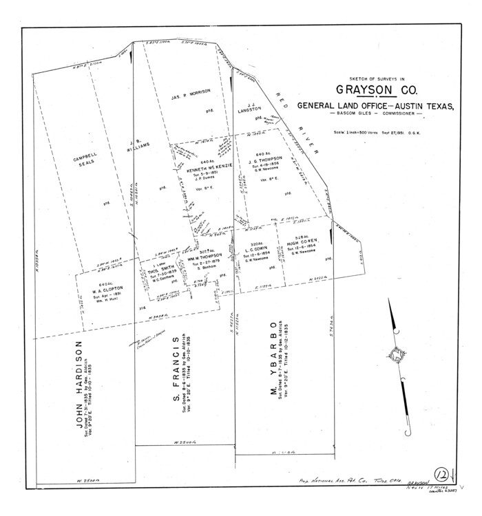

Print $20.00
- Digital $50.00
Grayson County Working Sketch 12
1951
Size 25.7 x 24.0 inches
Map/Doc 63251
Webb County Working Sketch 47
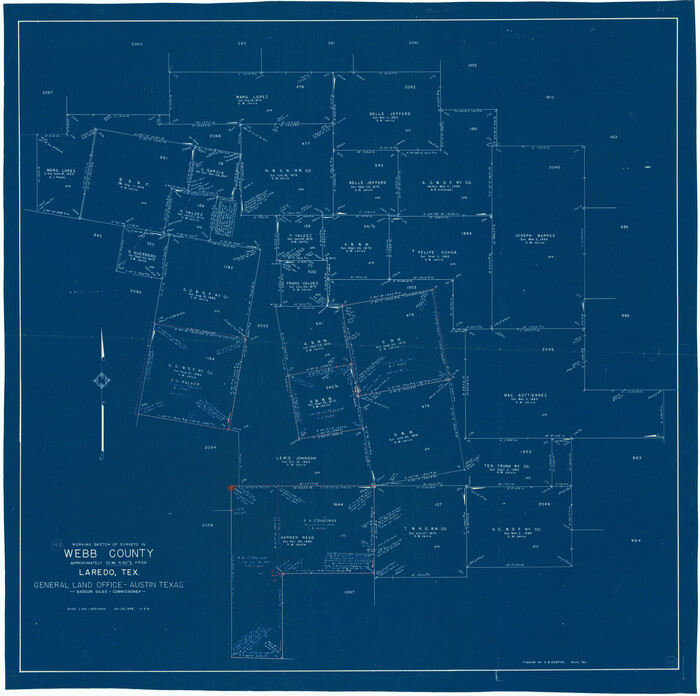

Print $20.00
- Digital $50.00
Webb County Working Sketch 47
1948
Size 35.9 x 36.2 inches
Map/Doc 72412
Jefferson County Working Sketch 37
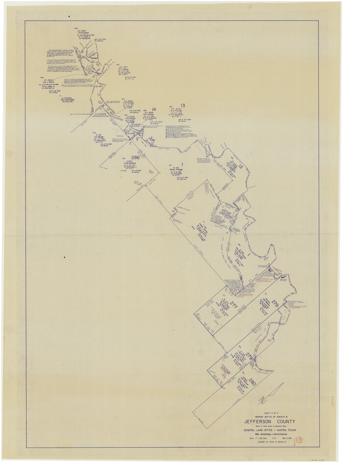

Print $40.00
- Digital $50.00
Jefferson County Working Sketch 37
1982
Size 49.9 x 36.6 inches
Map/Doc 66581
Medina County Sketch File 5

Print $8.00
- Digital $50.00
Medina County Sketch File 5
Size 8.2 x 3.8 inches
Map/Doc 31450
You may also like
Reeves County Working Sketch 2


Print $20.00
- Digital $50.00
Reeves County Working Sketch 2
1903
Size 22.6 x 42.4 inches
Map/Doc 63444
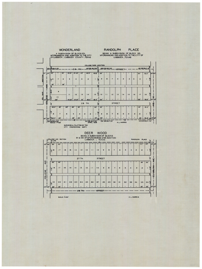
Wonderland, Randolph Place, and Deer Wood

Print $20.00
- Digital $50.00
Wonderland, Randolph Place, and Deer Wood
Size 18.9 x 24.8 inches
Map/Doc 92742
The Making of America - Northern Plains
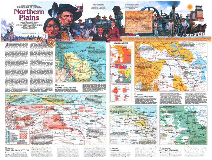

The Making of America - Northern Plains
Size 20.7 x 27.3 inches
Map/Doc 95943
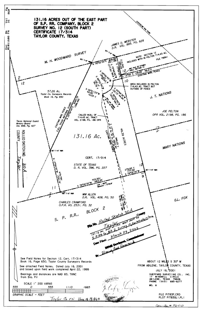
Taylor County Rolled Sketch 30A

Print $20.00
- Digital $50.00
Taylor County Rolled Sketch 30A
Size 17.5 x 11.3 inches
Map/Doc 76410
Bowie County Sketch File 6b
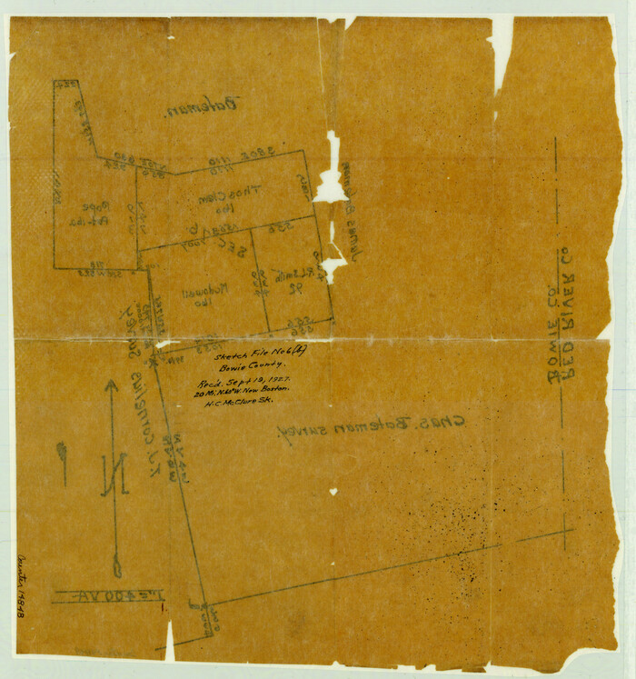

Print $40.00
- Digital $50.00
Bowie County Sketch File 6b
Size 14.4 x 13.5 inches
Map/Doc 14848
Bexar County Boundary File 2
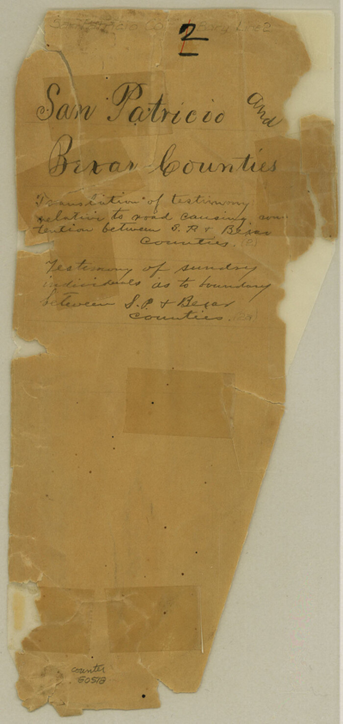

Print $32.00
- Digital $50.00
Bexar County Boundary File 2
Size 8.4 x 4.0 inches
Map/Doc 50518
History of the Geography of Texas


Print $40.00
- Digital $50.00
History of the Geography of Texas
1897
Size 70.7 x 52.9 inches
Map/Doc 3095
Grayson County Sketch File 1


Print $2.00
- Digital $50.00
Grayson County Sketch File 1
1854
Size 8.4 x 3.3 inches
Map/Doc 24459
Frio County Working Sketch 28
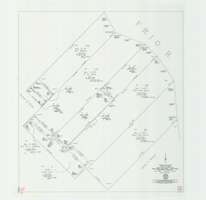

Print $20.00
- Digital $50.00
Frio County Working Sketch 28
2006
Size 40.8 x 42.0 inches
Map/Doc 83605
Outer Continental Shelf Leasing Maps (Louisiana Offshore Operations)


Print $20.00
- Digital $50.00
Outer Continental Shelf Leasing Maps (Louisiana Offshore Operations)
1955
Size 16.2 x 13.0 inches
Map/Doc 76084
[Blocks 341, G-5, G-12, TCRRCo.]
![2069, [Blocks 341, G-5, G-12, TCRRCo.], General Map Collection](https://historictexasmaps.com/wmedia_w700/maps/2069-1.tif.jpg)
![2069, [Blocks 341, G-5, G-12, TCRRCo.], General Map Collection](https://historictexasmaps.com/wmedia_w700/maps/2069-1.tif.jpg)
Print $20.00
- Digital $50.00
[Blocks 341, G-5, G-12, TCRRCo.]
1954
Size 23.7 x 22.7 inches
Map/Doc 2069
Railroad Track Map, H&TCRRCo., Falls County, Texas
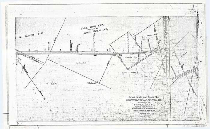

Print $4.00
- Digital $50.00
Railroad Track Map, H&TCRRCo., Falls County, Texas
1918
Size 11.4 x 18.7 inches
Map/Doc 62857
![2082, [William Steele Survey near Copano Bay], General Map Collection](https://historictexasmaps.com/wmedia_w1800h1800/maps/2082.tif.jpg)