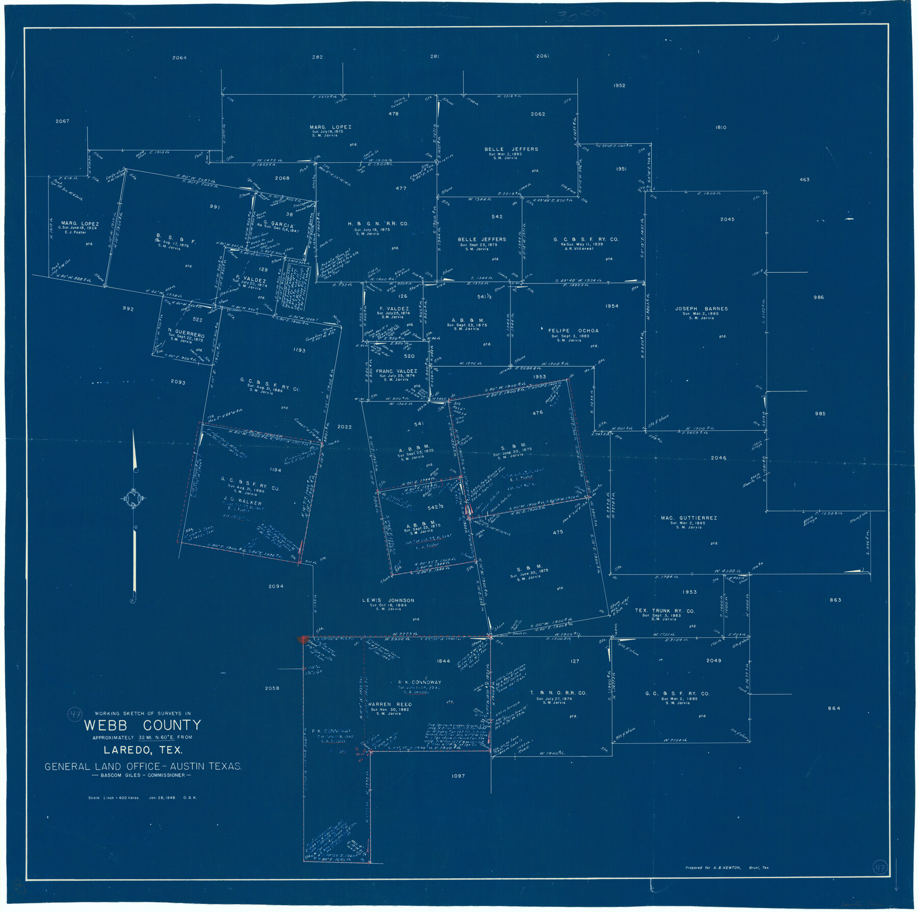
Webb County Working Sketch 47
-
Map/Doc
72412
-
Collection
General Map Collection
-
Object Dates
1/28/1948 (Creation Date)
-
People and Organizations
Otto G. Kurio (Draftsman)
-
Counties
Webb
-
Subjects
Surveying Working Sketch
-
Height x Width
35.9 x 36.2 inches
91.2 x 92.0 cm
-
Scale
1" = 400 varas
Part of: General Map Collection
Starr County Sketch File 48

Print $20.00
- Digital $50.00
Starr County Sketch File 48
1950
Size 22.3 x 10.8 inches
Map/Doc 12345
Howard County Working Sketch 11

Print $20.00
- Digital $50.00
Howard County Working Sketch 11
1962
Size 20.5 x 20.3 inches
Map/Doc 66279
Uvalde County Sketch File 25

Print $8.00
- Digital $50.00
Uvalde County Sketch File 25
1928
Size 14.5 x 8.8 inches
Map/Doc 39016
Flight Mission No. BRE-1P, Frame 125, Nueces County

Print $20.00
- Digital $50.00
Flight Mission No. BRE-1P, Frame 125, Nueces County
1956
Size 18.6 x 22.7 inches
Map/Doc 86691
Flight Mission No. DAH-10M, Frame 44, Orange County

Print $20.00
- Digital $50.00
Flight Mission No. DAH-10M, Frame 44, Orange County
1953
Size 18.6 x 22.4 inches
Map/Doc 86879
Harris County Working Sketch 70

Print $20.00
- Digital $50.00
Harris County Working Sketch 70
1956
Size 25.5 x 32.9 inches
Map/Doc 65962
Flight Mission No. BRE-2P, Frame 134, Nueces County

Print $20.00
- Digital $50.00
Flight Mission No. BRE-2P, Frame 134, Nueces County
1956
Size 18.4 x 22.3 inches
Map/Doc 86807
Nacogdoches County Working Sketch 6

Print $20.00
- Digital $50.00
Nacogdoches County Working Sketch 6
1955
Size 14.7 x 12.5 inches
Map/Doc 71222
Williamson County Working Sketch 4

Print $20.00
- Digital $50.00
Williamson County Working Sketch 4
1919
Size 23.7 x 19.4 inches
Map/Doc 72564
Houston County Working Sketch 12

Print $20.00
- Digital $50.00
Houston County Working Sketch 12
1956
Size 24.0 x 27.3 inches
Map/Doc 66242
Map of Galveston Harbor and City

Print $40.00
- Digital $50.00
Map of Galveston Harbor and City
1850
Size 31.0 x 52.0 inches
Map/Doc 69856
Starr County Sketch File 15

Print $10.00
- Digital $50.00
Starr County Sketch File 15
Size 12.1 x 7.4 inches
Map/Doc 36869
You may also like
[Sketch for Mineral Application 24072, San Jacinto River]
![65599, [Sketch for Mineral Application 24072, San Jacinto River], General Map Collection](https://historictexasmaps.com/wmedia_w700/maps/65599.tif.jpg)
Print $20.00
- Digital $50.00
[Sketch for Mineral Application 24072, San Jacinto River]
1929
Size 23.5 x 18.0 inches
Map/Doc 65599
Flight Mission No. DCL-7C, Frame 20, Kenedy County

Print $20.00
- Digital $50.00
Flight Mission No. DCL-7C, Frame 20, Kenedy County
1943
Size 15.5 x 15.1 inches
Map/Doc 86012
Dickens County Sketch File 6a

Print $6.00
- Digital $50.00
Dickens County Sketch File 6a
1882
Size 16.5 x 9.4 inches
Map/Doc 20969
Upton County Working Sketch 59

Print $20.00
- Digital $50.00
Upton County Working Sketch 59
1987
Size 21.5 x 34.3 inches
Map/Doc 69556
Dawson County Working Sketch 10

Print $20.00
- Digital $50.00
Dawson County Working Sketch 10
1944
Size 15.6 x 13.6 inches
Map/Doc 68554

Val Verde County Sketch File XXX6

Print $6.00
- Digital $50.00
Val Verde County Sketch File XXX6
Size 17.0 x 9.9 inches
Map/Doc 39102
[Sketch for Mineral Application 33721 - 33725 Incl. - Padre and Mustang Island]
![2874, [Sketch for Mineral Application 33721 - 33725 Incl. - Padre and Mustang Island], General Map Collection](https://historictexasmaps.com/wmedia_w700/maps/2874.tif.jpg)
Print $20.00
- Digital $50.00
[Sketch for Mineral Application 33721 - 33725 Incl. - Padre and Mustang Island]
1941
Size 40.2 x 22.8 inches
Map/Doc 2874
Railroad Track Map, H&TCRRCo., Falls County, Texas

Print $4.00
- Digital $50.00
Railroad Track Map, H&TCRRCo., Falls County, Texas
1918
Size 11.5 x 18.6 inches
Map/Doc 62850
[Map showing T&P Lands in El Paso County]
![88934, [Map showing T&P Lands in El Paso County], Library of Congress](https://historictexasmaps.com/wmedia_w700/maps/88934.tif.jpg)
Print $20.00
[Map showing T&P Lands in El Paso County]
Size 17.3 x 22.2 inches
Map/Doc 88934
Traveller's Map of the State of Texas

Print $20.00
- Digital $50.00
Traveller's Map of the State of Texas
1867
Size 40.6 x 38.2 inches
Map/Doc 4327
Webb County Boundary File 1a

Print $50.00
- Digital $50.00
Webb County Boundary File 1a
Size 14.3 x 9.0 inches
Map/Doc 59703