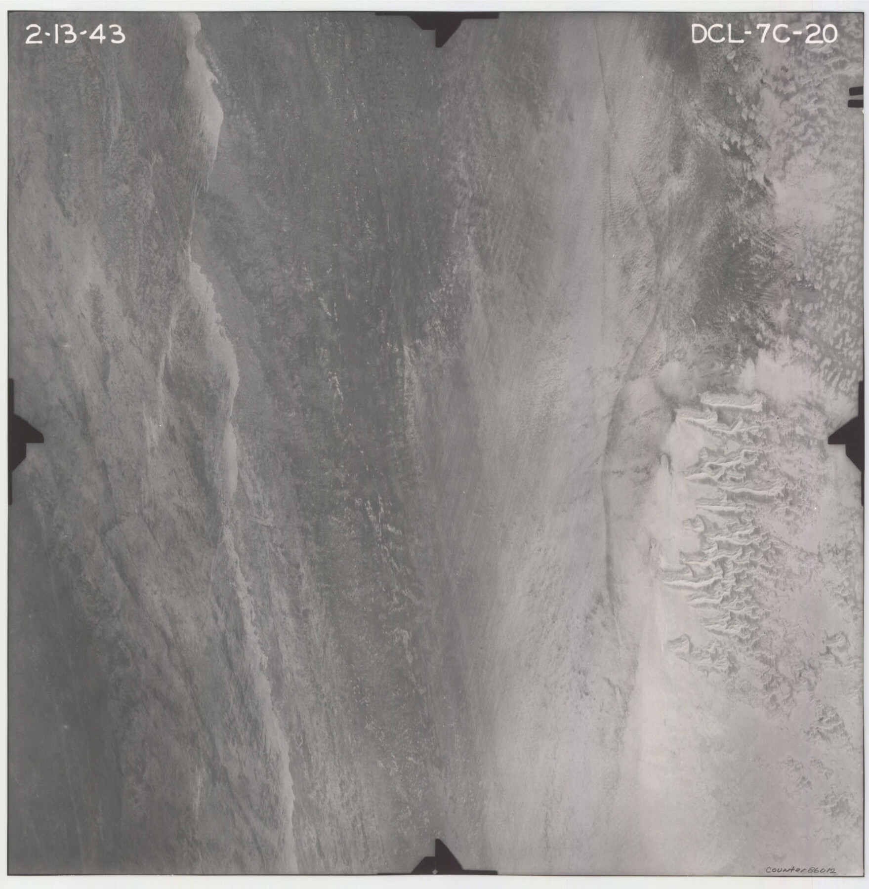
Flight Mission No. DCL-7C, Frame 20, Kenedy County
DCL-7C-20
-
Map/Doc
86012
-
Collection
General Map Collection
-
Object Dates
1943/2/13 (Creation Date)
-
People and Organizations
U. S. Department of Agriculture (Publisher)
-
Counties
Kenedy
-
Subjects
Aerial Photograph
-
Height x Width
15.5 x 15.1 inches
39.4 x 38.4 cm
-
Comments
Flown by Aerial Surveys of Pittsburgh, Inc. of Pittsburgh, Pennsylvania.
Part of: General Map Collection
Lampasas County Sketch File 5

Print $8.00
- Digital $50.00
Lampasas County Sketch File 5
1869
Size 12.8 x 7.9 inches
Map/Doc 29396
Red River County Working Sketch 82

Print $20.00
- Digital $50.00
Red River County Working Sketch 82
1996
Size 21.9 x 30.6 inches
Map/Doc 72068
Matagorda County Working Sketch 22

Print $20.00
- Digital $50.00
Matagorda County Working Sketch 22
1967
Size 30.0 x 38.8 inches
Map/Doc 70880
Pecos County Rolled Sketch 116

Print $20.00
- Digital $50.00
Pecos County Rolled Sketch 116
Size 26.7 x 20.6 inches
Map/Doc 7259
Hill County Sketch file 28

Print $33.00
- Digital $50.00
Hill County Sketch file 28
1987
Size 11.3 x 8.9 inches
Map/Doc 26530
Map of the State of Louisiana engraved for Mitchell's new intermediate geography, Louisiana Edition (Inset: Vicinity of New Orleans)

Print $20.00
- Digital $50.00
Map of the State of Louisiana engraved for Mitchell's new intermediate geography, Louisiana Edition (Inset: Vicinity of New Orleans)
1885
Size 9.0 x 12.2 inches
Map/Doc 93533
Revised Map of Matagorda Bay and Vicinity in Matagorda and Calhoun Counties showing subdivision for mineral development

Print $40.00
- Digital $50.00
Revised Map of Matagorda Bay and Vicinity in Matagorda and Calhoun Counties showing subdivision for mineral development
1941
Size 44.3 x 60.0 inches
Map/Doc 2933
Cottle County Rolled Sketch B

Print $20.00
- Digital $50.00
Cottle County Rolled Sketch B
1903
Size 32.5 x 43.4 inches
Map/Doc 8671
Wood County Working Sketch 8

Print $20.00
- Digital $50.00
Wood County Working Sketch 8
1943
Size 27.7 x 25.2 inches
Map/Doc 62008
Angelina County Working Sketch 44

Print $20.00
- Digital $50.00
Angelina County Working Sketch 44
1976
Size 22.2 x 25.7 inches
Map/Doc 67127
Hardeman County Sketch File 12

Print $4.00
- Digital $50.00
Hardeman County Sketch File 12
Size 12.8 x 8.3 inches
Map/Doc 25020
Galveston County NRC Article 33.136 Sketch 43

Print $59.00
- Digital $50.00
Galveston County NRC Article 33.136 Sketch 43
2002
Size 24.7 x 36.9 inches
Map/Doc 87156
You may also like
Presidio County Rolled Sketch 131A

Print $40.00
- Digital $50.00
Presidio County Rolled Sketch 131A
1991
Size 37.6 x 49.7 inches
Map/Doc 10713
Jeff Davis County Working Sketch 8

Print $20.00
- Digital $50.00
Jeff Davis County Working Sketch 8
1940
Size 45.4 x 42.9 inches
Map/Doc 66503
Flight Mission No. CLL-1N, Frame 30, Willacy County

Print $20.00
- Digital $50.00
Flight Mission No. CLL-1N, Frame 30, Willacy County
1954
Size 18.4 x 22.2 inches
Map/Doc 87011
The Mexican Department of Nacogdoches. On the Eve of Texas Independence, 1836

Print $20.00
The Mexican Department of Nacogdoches. On the Eve of Texas Independence, 1836
2020
Size 18.4 x 21.7 inches
Map/Doc 95974
Pecos County Working Sketch 113

Print $40.00
- Digital $50.00
Pecos County Working Sketch 113
1972
Size 36.1 x 58.2 inches
Map/Doc 71586
Milam County Sketch File 7

Print $6.00
- Digital $50.00
Milam County Sketch File 7
1838
Size 13.0 x 8.0 inches
Map/Doc 31636
[Strickland Survey Sketch Showing Abercrombie Corner, Exhibit C]
![91369, [Strickland Survey Sketch Showing Abercrombie Corner, Exhibit C], Twichell Survey Records](https://historictexasmaps.com/wmedia_w700/maps/91369-1.tif.jpg)
Print $20.00
- Digital $50.00
[Strickland Survey Sketch Showing Abercrombie Corner, Exhibit C]
Size 18.0 x 24.5 inches
Map/Doc 91369
Kimble County Working Sketch 74

Print $20.00
- Digital $50.00
Kimble County Working Sketch 74
1966
Size 43.1 x 34.2 inches
Map/Doc 70142
La Salle County Sketch File 8

Print $20.00
- Digital $50.00
La Salle County Sketch File 8
Size 27.2 x 19.3 inches
Map/Doc 11979
Sketch Showing Surveys Made for W. R. Cartledge

Print $20.00
- Digital $50.00
Sketch Showing Surveys Made for W. R. Cartledge
1945
Size 16.9 x 14.4 inches
Map/Doc 2059
Bell County Sketch File 11

Print $4.00
- Digital $50.00
Bell County Sketch File 11
1852
Size 9.9 x 7.8 inches
Map/Doc 14383
Waller County Sketch File 11

Print $40.00
- Digital $50.00
Waller County Sketch File 11
1913
Size 16.6 x 14.3 inches
Map/Doc 39614