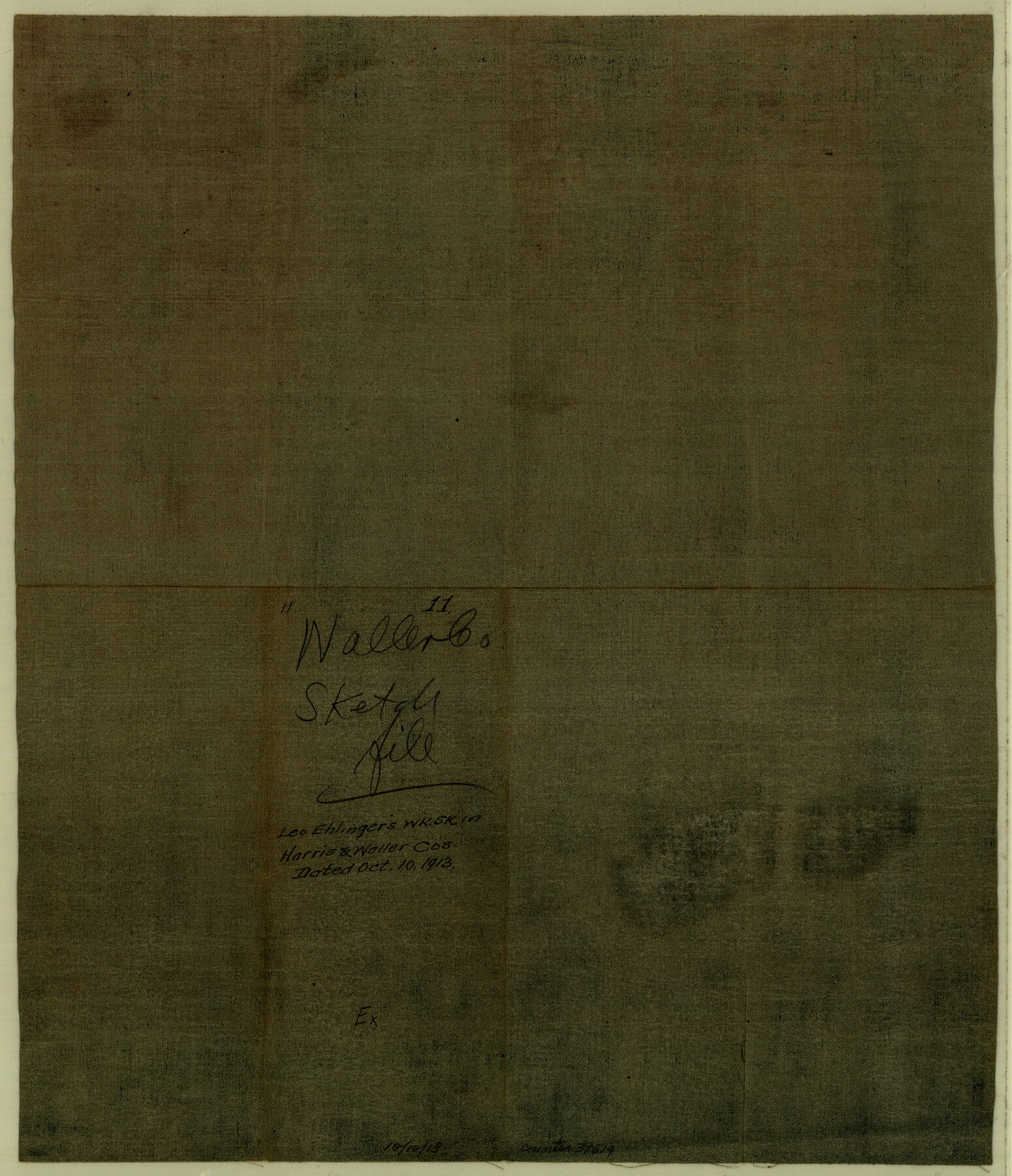
Waller County Sketch File 11
[Working sketch of surveys along both sides of Spring Creek in Harris and Waller Counties]
-
Map/Doc
39614
-
Collection
General Map Collection
-
Object Dates
10/10/1913 (Creation Date)
-
People and Organizations
Leo Ehlinger (Draftsman)
-
Counties
Waller Harris
-
Subjects
Surveying Sketch File
-
Height x Width
16.6 x 14.3 inches
42.2 x 36.3 cm
-
Medium
blueprint/diazo
-
Features
Spring Creek
Part of: General Map Collection
[San Antonio & Aransas Pass Through Gonzales County]
![64288, [San Antonio & Aransas Pass Through Gonzales County], General Map Collection](https://historictexasmaps.com/wmedia_w700/maps/64288.tif.jpg)
Print $20.00
- Digital $50.00
[San Antonio & Aransas Pass Through Gonzales County]
1880
Size 11.4 x 30.7 inches
Map/Doc 64288
Upton County Rolled Sketch 50

Print $20.00
- Digital $50.00
Upton County Rolled Sketch 50
1959
Size 20.8 x 32.7 inches
Map/Doc 8085
Loving County State of Texas

Print $20.00
- Digital $50.00
Loving County State of Texas
1889
Size 20.5 x 24.5 inches
Map/Doc 4581
Brewster County Rolled Sketch K1

Print $20.00
- Digital $50.00
Brewster County Rolled Sketch K1
Size 22.9 x 15.4 inches
Map/Doc 5322
Burleson County Sketch File 7

Print $40.00
- Digital $50.00
Burleson County Sketch File 7
1935
Size 17.0 x 14.5 inches
Map/Doc 16653
Harris County Working Sketch 123

Print $20.00
- Digital $50.00
Harris County Working Sketch 123
1993
Size 19.5 x 17.0 inches
Map/Doc 66015
El Paso County Rolled Sketch 52

Print $20.00
- Digital $50.00
El Paso County Rolled Sketch 52
1929
Size 18.6 x 24.5 inches
Map/Doc 5846
Potter County Boundary File 4b

Print $20.00
- Digital $50.00
Potter County Boundary File 4b
Size 9.2 x 32.9 inches
Map/Doc 58012
Map of Cooke County originally Fannin Land District

Print $20.00
- Digital $50.00
Map of Cooke County originally Fannin Land District
1858
Size 25.4 x 18.9 inches
Map/Doc 950
Hamilton County Boundary File 1

Print $22.00
- Digital $50.00
Hamilton County Boundary File 1
Size 8.6 x 8.1 inches
Map/Doc 54183
Flight Mission No. DQN-1K, Frame 41, Calhoun County

Print $20.00
- Digital $50.00
Flight Mission No. DQN-1K, Frame 41, Calhoun County
1953
Size 18.5 x 22.2 inches
Map/Doc 84141
Maps of Gulf Intracoastal Waterway, Texas - Sabine River to the Rio Grande and connecting waterways including ship channels

Print $20.00
- Digital $50.00
Maps of Gulf Intracoastal Waterway, Texas - Sabine River to the Rio Grande and connecting waterways including ship channels
1966
Size 14.6 x 22.2 inches
Map/Doc 61945
You may also like
Hutchinson County Sketch File 28

Print $6.00
- Digital $50.00
Hutchinson County Sketch File 28
1926
Size 11.3 x 8.8 inches
Map/Doc 27261
![89829, [Central Yates], Twichell Survey Records](https://historictexasmaps.com/wmedia_w700/maps/89829-1.tif.jpg)
San Jacinto County Working Sketch 33

Print $20.00
- Digital $50.00
San Jacinto County Working Sketch 33
1955
Size 25.4 x 31.8 inches
Map/Doc 63746
Flight Mission No. DQO-7K, Frame 103, Galveston County

Print $20.00
- Digital $50.00
Flight Mission No. DQO-7K, Frame 103, Galveston County
1952
Size 18.5 x 22.7 inches
Map/Doc 85118
South Sulphur River, Charleston Sheet

Print $4.00
- Digital $50.00
South Sulphur River, Charleston Sheet
1924
Size 29.4 x 29.5 inches
Map/Doc 65168
Outer Continental Shelf Leasing Maps (Louisiana Offshore Operations)

Print $20.00
- Digital $50.00
Outer Continental Shelf Leasing Maps (Louisiana Offshore Operations)
1955
Size 23.3 x 15.5 inches
Map/Doc 76094
Flight Mission No. CRE-1R, Frame 65, Jackson County

Print $20.00
- Digital $50.00
Flight Mission No. CRE-1R, Frame 65, Jackson County
1956
Size 18.6 x 22.3 inches
Map/Doc 85328
Starr County Rolled Sketch 27

Print $20.00
- Digital $50.00
Starr County Rolled Sketch 27
1940
Size 21.4 x 28.6 inches
Map/Doc 7810
Flight Mission No. DQN-5K, Frame 37, Calhoun County

Print $20.00
- Digital $50.00
Flight Mission No. DQN-5K, Frame 37, Calhoun County
1953
Size 18.5 x 22.1 inches
Map/Doc 84385
San Jacinto County Working Sketch 36

Print $40.00
- Digital $50.00
San Jacinto County Working Sketch 36
1964
Size 33.0 x 57.2 inches
Map/Doc 63749
Hardin County Rolled Sketch WS

Print $20.00
- Digital $50.00
Hardin County Rolled Sketch WS
1936
Size 25.4 x 43.9 inches
Map/Doc 9104
Ellis County Boundary File 3a

Print $10.00
- Digital $50.00
Ellis County Boundary File 3a
Size 11.2 x 8.9 inches
Map/Doc 52960