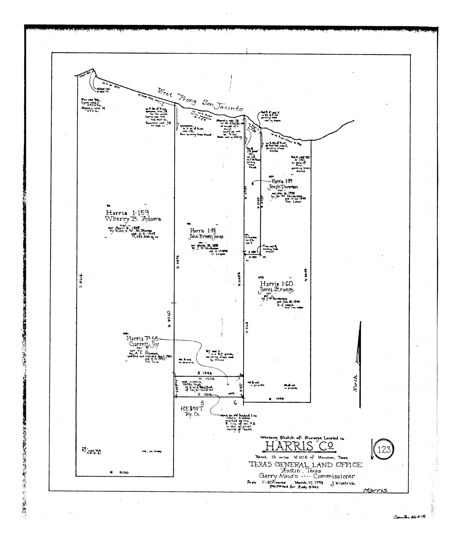
Harris County Working Sketch 123
-
Map/Doc
66015
-
Collection
General Map Collection
-
Object Dates
3/17/1993 (Creation Date)
-
People and Organizations
Joan Kilpatrick (Draftsman)
-
Counties
Harris
-
Subjects
Surveying Working Sketch
-
Height x Width
19.5 x 17.0 inches
49.5 x 43.2 cm
-
Scale
1" = 600 varas
Part of: General Map Collection
Burleson County Working Sketch 14

Print $20.00
- Digital $50.00
Burleson County Working Sketch 14
1980
Size 24.6 x 18.9 inches
Map/Doc 67733
Revised Map of Matagorda Bay and Vicinity in Matagorda and Calhoun Counties, showing Subdivision for Mineral Development

Print $40.00
- Digital $50.00
Revised Map of Matagorda Bay and Vicinity in Matagorda and Calhoun Counties, showing Subdivision for Mineral Development
1959
Size 43.8 x 57.0 inches
Map/Doc 1910
Nueces County Rolled Sketch 73

Print $20.00
- Digital $50.00
Nueces County Rolled Sketch 73
1981
Size 24.2 x 36.0 inches
Map/Doc 6931
Flight Mission No. DQN-1K, Frame 47, Calhoun County

Print $20.00
- Digital $50.00
Flight Mission No. DQN-1K, Frame 47, Calhoun County
1953
Size 18.4 x 22.6 inches
Map/Doc 84147
Harrison County Sketch File 17

Print $4.00
- Digital $50.00
Harrison County Sketch File 17
1874
Size 8.8 x 10.5 inches
Map/Doc 26059
Midland County Sketch File M

Print $20.00
- Digital $50.00
Midland County Sketch File M
Size 18.5 x 14.9 inches
Map/Doc 12090
Flight Mission No. CUG-1P, Frame 165, Kleberg County

Print $20.00
- Digital $50.00
Flight Mission No. CUG-1P, Frame 165, Kleberg County
1956
Size 18.7 x 22.2 inches
Map/Doc 86172
Deaf Smith County Working Sketch Graphic Index

Print $40.00
- Digital $50.00
Deaf Smith County Working Sketch Graphic Index
1926
Size 40.1 x 52.6 inches
Map/Doc 76519
Brewster County Sketch File NS-5

Print $22.00
- Digital $50.00
Brewster County Sketch File NS-5
Size 11.2 x 8.8 inches
Map/Doc 15983
Hopkins County Sketch File 2a

Print $4.00
- Digital $50.00
Hopkins County Sketch File 2a
Size 13.6 x 8.6 inches
Map/Doc 26683
Presidio County Working Sketch 69

Print $20.00
- Digital $50.00
Presidio County Working Sketch 69
1960
Size 33.3 x 41.3 inches
Map/Doc 71746
Val Verde County Sketch File XXX4

Print $4.00
- Digital $50.00
Val Verde County Sketch File XXX4
Size 12.8 x 8.4 inches
Map/Doc 39098
You may also like
Harris County Working Sketch 4

Print $20.00
- Digital $50.00
Harris County Working Sketch 4
Size 20.7 x 26.6 inches
Map/Doc 65896
Intracoastal Waterway, Houma, LA to Corpus Christi, TX

Print $5.00
- Digital $50.00
Intracoastal Waterway, Houma, LA to Corpus Christi, TX
Size 30.0 x 22.0 inches
Map/Doc 61911
Webb County Sketch File 8

Print $4.00
- Digital $50.00
Webb County Sketch File 8
1875
Size 8.3 x 8.7 inches
Map/Doc 39741
Medina County Working Sketch 18

Print $20.00
- Digital $50.00
Medina County Working Sketch 18
1980
Size 31.4 x 38.0 inches
Map/Doc 70933
Flight Mission No. DCL-4C, Frame 146, Kenedy County

Print $20.00
- Digital $50.00
Flight Mission No. DCL-4C, Frame 146, Kenedy County
1943
Size 18.6 x 22.3 inches
Map/Doc 85824
Sutton County Working Sketch 58

Print $40.00
- Digital $50.00
Sutton County Working Sketch 58
1958
Size 57.3 x 37.5 inches
Map/Doc 62401
Newton County Sketch File 7

Print $4.00
- Digital $50.00
Newton County Sketch File 7
1872
Size 6.1 x 8.3 inches
Map/Doc 32374
Webb County Sketch File 14-2

Print $6.00
- Digital $50.00
Webb County Sketch File 14-2
1936
Size 14.3 x 8.7 inches
Map/Doc 39817
General Highway Map, Travis County, Texas

Print $20.00
General Highway Map, Travis County, Texas
1940
Size 18.3 x 24.9 inches
Map/Doc 79261
Throckmorton County Rolled Sketch 3C

Print $20.00
- Digital $50.00
Throckmorton County Rolled Sketch 3C
Size 31.1 x 37.1 inches
Map/Doc 7989
[Surveys Adjacent to W. D. Twichell's near Palo Pinto Creek]
![92101, [Surveys Adjacent to W. D. Twichell's near Palo Pinto Creek], Twichell Survey Records](https://historictexasmaps.com/wmedia_w700/maps/92101-1.tif.jpg)
Print $2.00
- Digital $50.00
[Surveys Adjacent to W. D. Twichell's near Palo Pinto Creek]
Size 8.4 x 6.6 inches
Map/Doc 92101
Polk County Working Sketch 29

Print $40.00
- Digital $50.00
Polk County Working Sketch 29
1960
Size 56.0 x 45.0 inches
Map/Doc 71645