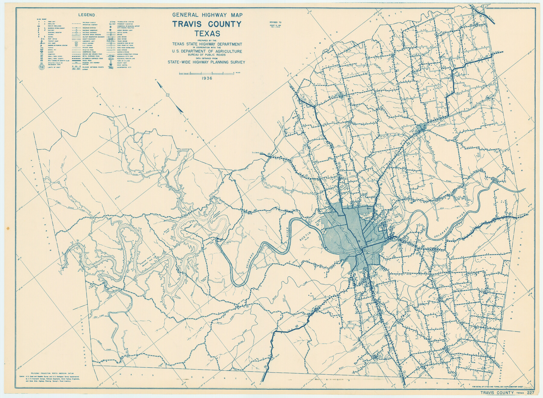
General Highway Map, Travis County, Texas
-
Map/Doc
79261
-
Collection
Texas State Library and Archives
-
Object Dates
1940 (Creation Date)
-
People and Organizations
Texas State Highway Department (Publisher)
-
Counties
Travis
-
Subjects
County
-
Height x Width
18.3 x 24.9 inches
46.5 x 63.3 cm
-
Comments
Prints available courtesy of the Texas State Library and Archives.
More info can be found here: TSLAC Map 05008
Part of: Texas State Library and Archives
Map of the Texas and Pacific Railway and Connections

Print $20.00
Map of the Texas and Pacific Railway and Connections
1897
Size 17.6 x 36.3 inches
Map/Doc 76299
General Highway Map, Haskell County, Texas

Print $20.00
General Highway Map, Haskell County, Texas
1961
Size 18.1 x 24.7 inches
Map/Doc 79512

General Highway Map, Karnes County, Texas

Print $20.00
General Highway Map, Karnes County, Texas
1940
Size 18.3 x 24.7 inches
Map/Doc 79151
General Highway Map, Runnels County, Texas

Print $20.00
General Highway Map, Runnels County, Texas
1940
Size 24.7 x 18.3 inches
Map/Doc 79231
General Highway Map, Llano County, Texas

Print $20.00
General Highway Map, Llano County, Texas
1940
Size 18.4 x 24.9 inches
Map/Doc 79178
Highway Map of the State of Texas

Print $20.00
Highway Map of the State of Texas
1922
Size 34.0 x 36.5 inches
Map/Doc 79309
General Highway Map, Hardeman County, Texas

Print $20.00
General Highway Map, Hardeman County, Texas
1940
Size 25.0 x 18.3 inches
Map/Doc 79113
General Highway Map. Detail of Cities and Towns in Bexar County, Texas. City Map of San Antonio, Alamo Heights, Olmos Park, Terrell Hills, Castle Hills, Balcones Heights, and vicinity, Bexar County, Texas

Print $20.00
General Highway Map. Detail of Cities and Towns in Bexar County, Texas. City Map of San Antonio, Alamo Heights, Olmos Park, Terrell Hills, Castle Hills, Balcones Heights, and vicinity, Bexar County, Texas
1961
Size 18.2 x 25.0 inches
Map/Doc 79375
General Highway Map, Harrison County, Texas

Print $20.00
General Highway Map, Harrison County, Texas
1940
Size 18.2 x 24.8 inches
Map/Doc 79121
General Highway Map, Dickens County, Texas

Print $20.00
General Highway Map, Dickens County, Texas
1961
Size 18.2 x 24.9 inches
Map/Doc 79443
Military Map of the Rio Grande Frontier Prepared from Original Surveys, County Maps, Reports of Officers, etc

Print $20.00
Military Map of the Rio Grande Frontier Prepared from Original Surveys, County Maps, Reports of Officers, etc
1883
Size 17.4 x 27.3 inches
Map/Doc 76242
You may also like

Midland County Working Sketch 13

Print $40.00
- Digital $50.00
Midland County Working Sketch 13
1951
Size 24.3 x 48.5 inches
Map/Doc 70993
Jeff Davis County Working Sketch 7

Print $20.00
- Digital $50.00
Jeff Davis County Working Sketch 7
1938
Size 30.4 x 39.9 inches
Map/Doc 66502
Pecos County Working Sketch 99

Print $20.00
- Digital $50.00
Pecos County Working Sketch 99
1970
Size 43.4 x 31.2 inches
Map/Doc 71572
Flight Mission No. DQO-8K, Frame 40, Galveston County

Print $20.00
- Digital $50.00
Flight Mission No. DQO-8K, Frame 40, Galveston County
1952
Size 18.5 x 22.3 inches
Map/Doc 85147
Galveston County Sketch File 6

Print $4.00
- Digital $50.00
Galveston County Sketch File 6
Size 14.2 x 8.9 inches
Map/Doc 23362
Crane County Rolled Sketch 26

Print $20.00
- Digital $50.00
Crane County Rolled Sketch 26
2020
Size 36.5 x 24.5 inches
Map/Doc 96432
Flight Mission No. CON-4R, Frame 143, Stonewall County

Print $20.00
- Digital $50.00
Flight Mission No. CON-4R, Frame 143, Stonewall County
1957
Size 18.3 x 22.0 inches
Map/Doc 86993
Flight Mission No. CGI-4N, Frame 19, Cameron County

Print $20.00
- Digital $50.00
Flight Mission No. CGI-4N, Frame 19, Cameron County
1954
Size 18.5 x 22.3 inches
Map/Doc 84652
North Part of Brewster Co.

Print $20.00
- Digital $50.00
North Part of Brewster Co.
1956
Size 42.4 x 40.2 inches
Map/Doc 1786
[Lgs. 209-212, 182, 183, 195-200 with notes]
![90159, [Lgs. 209-212, 182, 183, 195-200 with notes], Twichell Survey Records](https://historictexasmaps.com/wmedia_w700/maps/90159-1.tif.jpg)
Print $20.00
- Digital $50.00
[Lgs. 209-212, 182, 183, 195-200 with notes]
Size 18.7 x 15.6 inches
Map/Doc 90159
Harrison County

Print $20.00
- Digital $50.00
Harrison County
1920
Size 43.8 x 40.8 inches
Map/Doc 95523