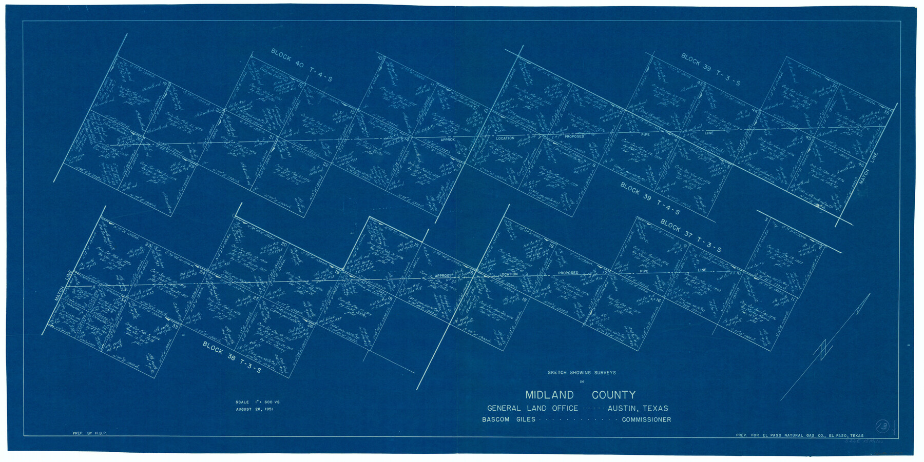
Midland County Working Sketch 13
-
Map/Doc
70993
-
Collection
General Map Collection
-
Object Dates
8/28/1951 (Creation Date)
-
People and Organizations
H.B. Parks (Draftsman)
-
Counties
Midland
-
Subjects
Surveying Working Sketch
-
Height x Width
24.3 x 48.5 inches
61.7 x 123.2 cm
-
Scale
1" = 600 varas
Part of: General Map Collection
Right of Way and Track Map, Texas & New Orleans R.R. operated by the T. & N. O. R.R. Co., Rusk Branch

Print $40.00
- Digital $50.00
Right of Way and Track Map, Texas & New Orleans R.R. operated by the T. & N. O. R.R. Co., Rusk Branch
1918
Size 24.7 x 56.2 inches
Map/Doc 64243
Copy of Surveyor's Field Book, Morris Browning - In Blocks 7, 5 & 4, I&GNRRCo., Hutchinson and Carson Counties, Texas

Print $2.00
- Digital $50.00
Copy of Surveyor's Field Book, Morris Browning - In Blocks 7, 5 & 4, I&GNRRCo., Hutchinson and Carson Counties, Texas
1888
Size 8.9 x 7.1 inches
Map/Doc 62287
Upshur County Working Sketch 2

Print $20.00
- Digital $50.00
Upshur County Working Sketch 2
1934
Size 16.3 x 21.4 inches
Map/Doc 69558
Bandera County Sketch File 2

Print $4.00
- Digital $50.00
Bandera County Sketch File 2
1855
Size 7.1 x 7.9 inches
Map/Doc 13997
Eastland County Rolled Sketch 25

Print $20.00
- Digital $50.00
Eastland County Rolled Sketch 25
1990
Size 36.9 x 47.7 inches
Map/Doc 8831
Van Zandt County Working Sketch 12

Print $20.00
- Digital $50.00
Van Zandt County Working Sketch 12
1982
Size 21.5 x 20.7 inches
Map/Doc 72262
Llano County Sketch File 3

Print $6.00
- Digital $50.00
Llano County Sketch File 3
1874
Size 8.0 x 8.9 inches
Map/Doc 30350
Hood County Working Sketch Graphic Index

Print $20.00
- Digital $50.00
Hood County Working Sketch Graphic Index
1941
Size 35.9 x 31.8 inches
Map/Doc 76580
Brewster County Rolled Sketch 52

Print $40.00
- Digital $50.00
Brewster County Rolled Sketch 52
1935
Size 24.5 x 59.4 inches
Map/Doc 8479
Refugio County Working Sketch 6

Print $20.00
- Digital $50.00
Refugio County Working Sketch 6
1939
Size 21.4 x 29.1 inches
Map/Doc 63515
Castro County Sketch File 4h

Print $4.00
- Digital $50.00
Castro County Sketch File 4h
Size 13.6 x 8.6 inches
Map/Doc 17479
Kimble County Working Sketch 22

Print $20.00
- Digital $50.00
Kimble County Working Sketch 22
1929
Size 25.2 x 21.1 inches
Map/Doc 70090
You may also like
Pecos County Working Sketch 58

Print $20.00
- Digital $50.00
Pecos County Working Sketch 58
1949
Size 20.5 x 22.0 inches
Map/Doc 71530
Rand McNally Standard Map of Texas

Print $20.00
Rand McNally Standard Map of Texas
1923
Size 27.6 x 40.3 inches
Map/Doc 76261
Hunt County Sketch File 30

Print $6.00
- Digital $50.00
Hunt County Sketch File 30
1862
Size 8.1 x 7.5 inches
Map/Doc 27132
Map of Cooke County originally Fannin Land District

Print $20.00
- Digital $50.00
Map of Cooke County originally Fannin Land District
1858
Size 25.4 x 18.9 inches
Map/Doc 950
McCulloch County Rolled Sketch 1

Print $20.00
- Digital $50.00
McCulloch County Rolled Sketch 1
Size 44.4 x 36.9 inches
Map/Doc 9495
Brazoria County Working Sketch 48

Print $20.00
- Digital $50.00
Brazoria County Working Sketch 48
1990
Size 25.2 x 29.5 inches
Map/Doc 67533
Navigation Maps of Gulf Intracoastal Waterway, Port Arthur to Brownsville, Texas

Print $4.00
- Digital $50.00
Navigation Maps of Gulf Intracoastal Waterway, Port Arthur to Brownsville, Texas
1951
Size 16.6 x 21.5 inches
Map/Doc 65430
Houston Ship Channel, Alexander Island to Carpenter Bayou

Print $40.00
- Digital $50.00
Houston Ship Channel, Alexander Island to Carpenter Bayou
1992
Size 35.3 x 49.3 inches
Map/Doc 69917
Navarro County Working Sketch Graphic Index

Print $40.00
- Digital $50.00
Navarro County Working Sketch Graphic Index
1924
Size 42.7 x 48.7 inches
Map/Doc 76652
Zavala County Boundary File 4

Print $42.00
- Digital $50.00
Zavala County Boundary File 4
Size 9.2 x 7.9 inches
Map/Doc 60271
Flight Mission No. BRA-7M, Frame 206, Jefferson County

Print $20.00
- Digital $50.00
Flight Mission No. BRA-7M, Frame 206, Jefferson County
1953
Size 18.6 x 22.2 inches
Map/Doc 85574
