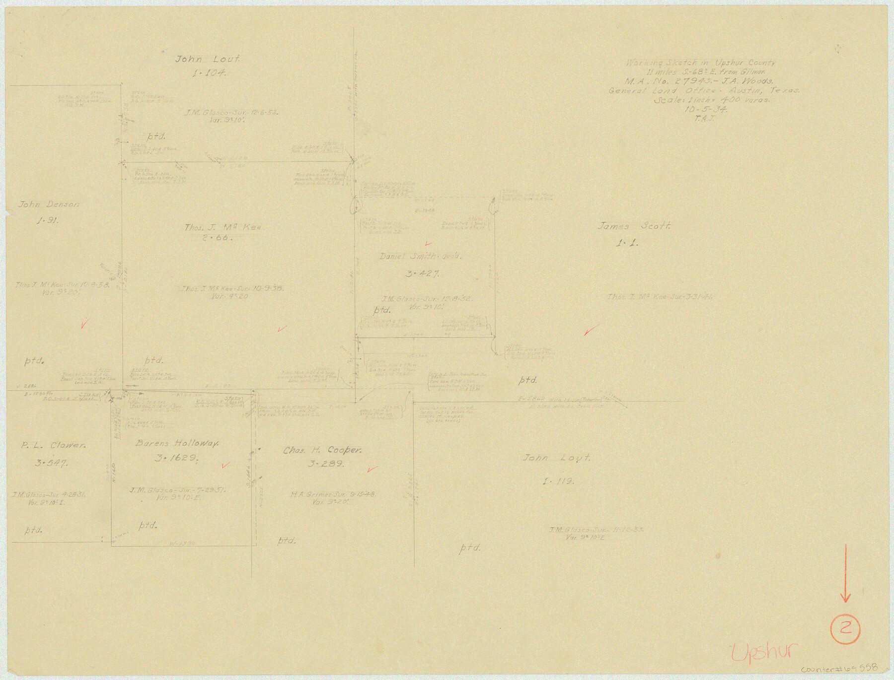
Upshur County Working Sketch 2
-
Map/Doc
69558
-
Collection
General Map Collection
-
Object Dates
10/5/1934 (Creation Date)
-
People and Organizations
T.A. Jackson (Draftsman)
-
Counties
Upshur
-
Subjects
Surveying Working Sketch
-
Height x Width
16.3 x 21.4 inches
41.4 x 54.4 cm
-
Scale
1" = 400 varas
Part of: General Map Collection
Haskell County

Print $20.00
- Digital $50.00
Haskell County
1933
Size 46.4 x 39.3 inches
Map/Doc 95525
Harris County Rolled Sketch 80A

Print $40.00
- Digital $50.00
Harris County Rolled Sketch 80A
Size 42.8 x 52.6 inches
Map/Doc 9136
[Texas Gulf Coast]
![72678, [Texas Gulf Coast], General Map Collection](https://historictexasmaps.com/wmedia_w700/maps/72678.tif.jpg)
Print $20.00
- Digital $50.00
[Texas Gulf Coast]
Size 18.3 x 27.6 inches
Map/Doc 72678
Harris County Working Sketch 96

Print $20.00
- Digital $50.00
Harris County Working Sketch 96
1978
Size 18.2 x 26.6 inches
Map/Doc 65988
Edwards County Working Sketch 138

Print $20.00
- Digital $50.00
Edwards County Working Sketch 138
1999
Size 30.5 x 35.7 inches
Map/Doc 69015
Gregg County Rolled Sketch 21

Print $20.00
- Digital $50.00
Gregg County Rolled Sketch 21
1957
Size 34.4 x 40.4 inches
Map/Doc 10650
Leon County Rolled Sketch 33

Print $20.00
- Digital $50.00
Leon County Rolled Sketch 33
1997
Size 26.3 x 36.7 inches
Map/Doc 6617
Carta Eclesiastica

Print $20.00
- Digital $50.00
Carta Eclesiastica
1897
Size 26.1 x 34.1 inches
Map/Doc 96799
Presidio County Rolled Sketch 90

Print $20.00
- Digital $50.00
Presidio County Rolled Sketch 90
1947
Size 20.5 x 24.4 inches
Map/Doc 7375
La Salle County Sketch File 36

Print $40.00
- Digital $50.00
La Salle County Sketch File 36
1898
Size 12.2 x 12.6 inches
Map/Doc 29589
Jefferson County Sketch File 21a

Print $44.00
- Digital $50.00
Jefferson County Sketch File 21a
Size 12.4 x 15.1 inches
Map/Doc 28175
Mills County Sketch File 10 1/2

Print $24.00
- Digital $50.00
Mills County Sketch File 10 1/2
1876
Size 14.4 x 17.6 inches
Map/Doc 31656
You may also like
Kleberg County

Print $20.00
- Digital $50.00
Kleberg County
1913
Size 31.3 x 40.1 inches
Map/Doc 77343
Live Oak County Sketch File 17

Print $20.00
- Digital $50.00
Live Oak County Sketch File 17
Size 24.2 x 25.4 inches
Map/Doc 12007

Zapata County Working Sketch 21

Print $40.00
- Digital $50.00
Zapata County Working Sketch 21
1981
Size 32.8 x 52.5 inches
Map/Doc 62072
Brewster County Working Sketch 28

Print $20.00
- Digital $50.00
Brewster County Working Sketch 28
1940
Size 23.5 x 32.9 inches
Map/Doc 67562
Midland County Working Sketch 22

Print $40.00
- Digital $50.00
Midland County Working Sketch 22
1956
Size 97.0 x 43.1 inches
Map/Doc 71003
Origin of Exports, Destination of Imports at Texas City, Tex. during 1921

Print $20.00
- Digital $50.00
Origin of Exports, Destination of Imports at Texas City, Tex. during 1921
1921
Size 13.8 x 9.6 inches
Map/Doc 97162
Nueces County NRC Article 33.136 Sketch 2

Print $20.00
- Digital $50.00
Nueces County NRC Article 33.136 Sketch 2
2002
Size 29.3 x 44.4 inches
Map/Doc 61622
South Part of Brewster Co.

Print $20.00
- Digital $50.00
South Part of Brewster Co.
1955
Size 47.3 x 39.6 inches
Map/Doc 77221
Presidio County Sketch File 29

Print $20.00
- Digital $50.00
Presidio County Sketch File 29
1890
Size 29.7 x 20.1 inches
Map/Doc 11711
Chambers County NRC Article 33.136 Location Key Sheet

Print $20.00
- Digital $50.00
Chambers County NRC Article 33.136 Location Key Sheet
1982
Size 27.0 x 22.3 inches
Map/Doc 82999
Gillespie County Working Sketch 1

Print $20.00
- Digital $50.00
Gillespie County Working Sketch 1
1950
Size 23.9 x 18.7 inches
Map/Doc 63164