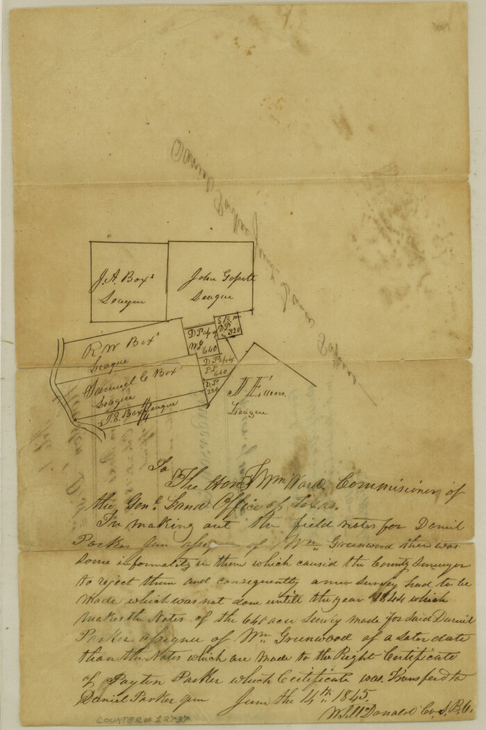
Anderson County Sketch File 1
1845

Anderson County Sketch File 11
1853
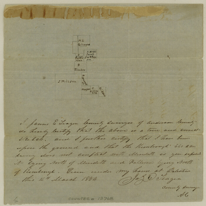
Anderson County Sketch File 11a
1854
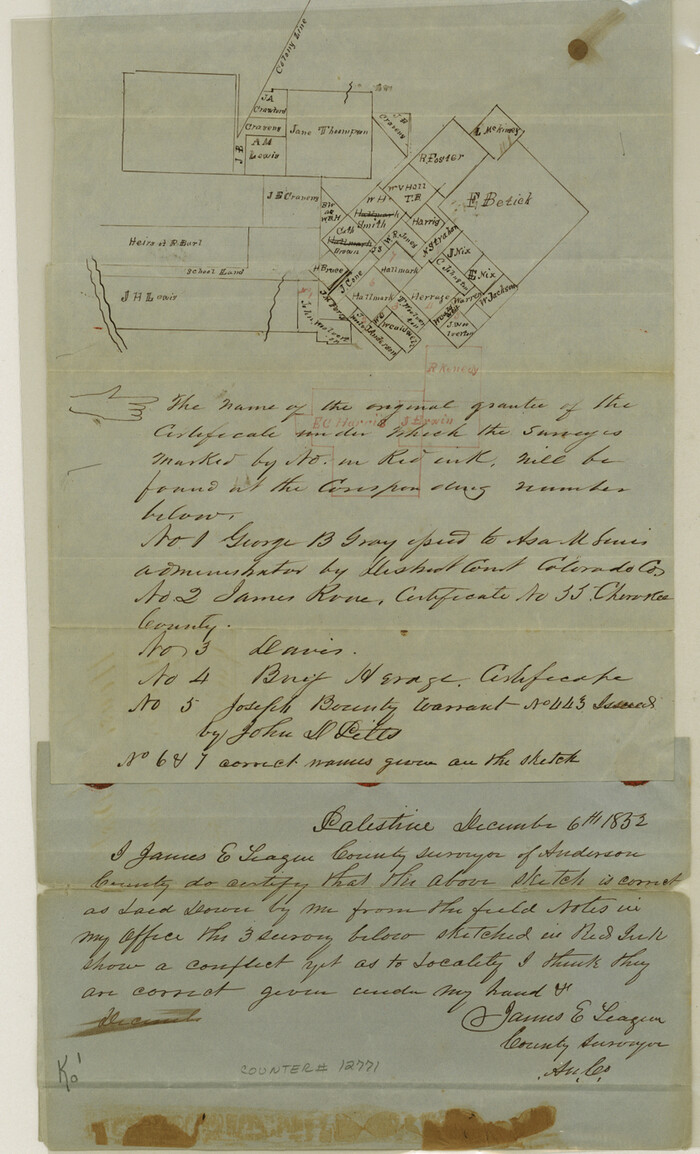
Anderson County Sketch File 12
1852

Anderson County Sketch File 13
1856
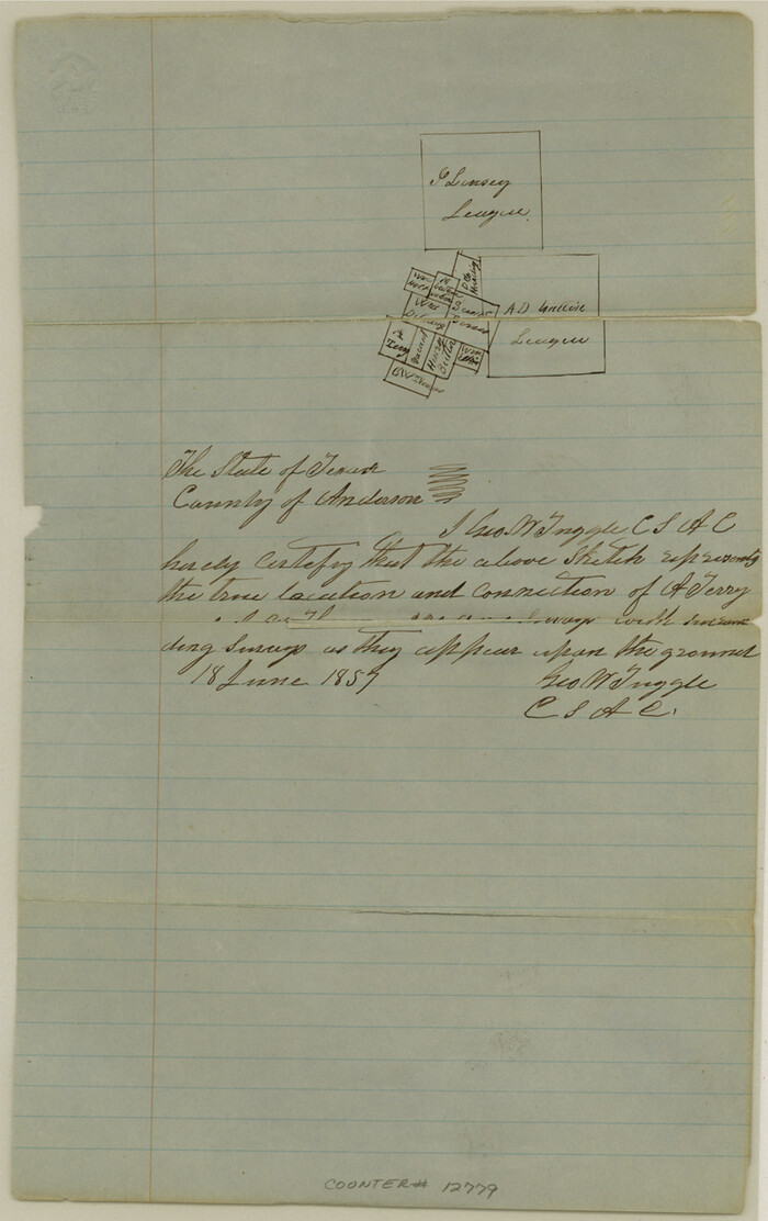
Anderson County Sketch File 14
1857
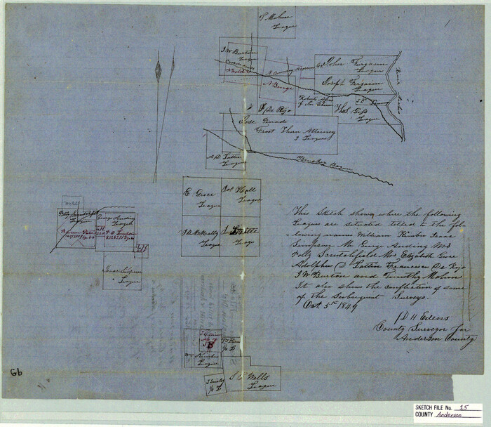
Anderson County Sketch File 15
1849
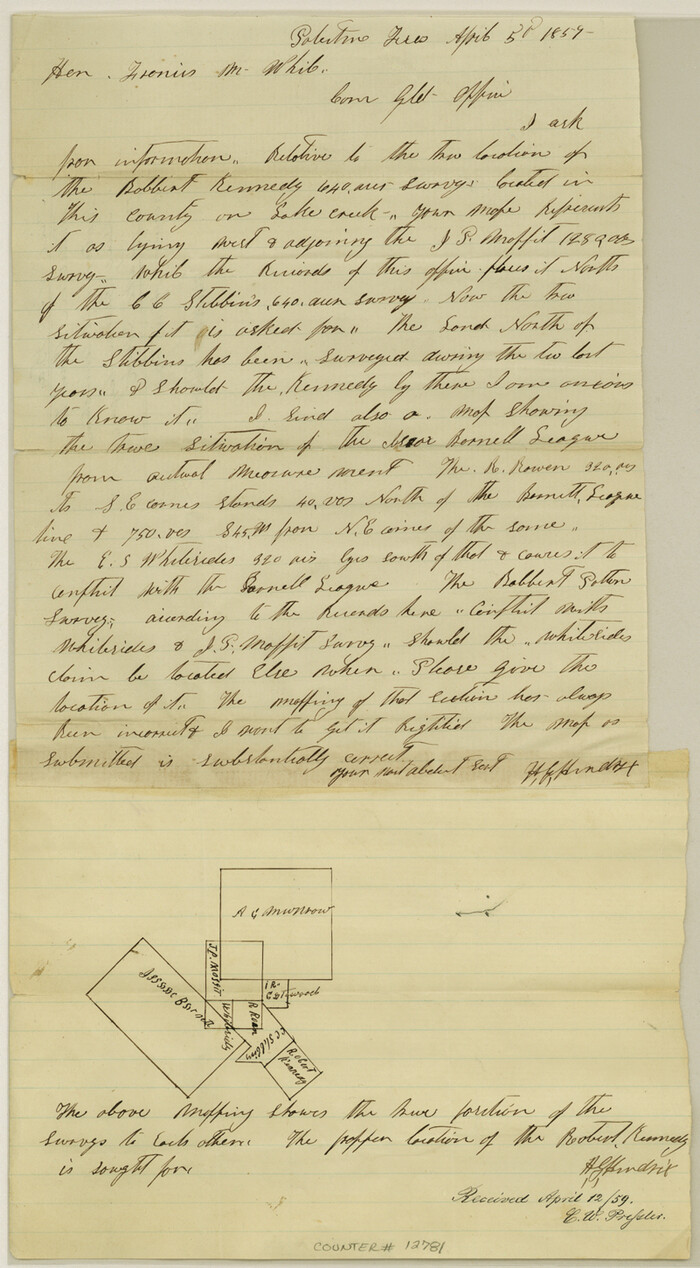
Anderson County Sketch File 15a
1859

Anderson County Sketch File 16
1849
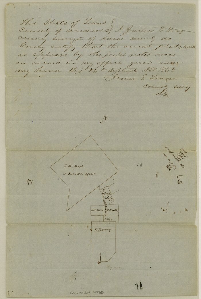
Anderson County Sketch File 16a
1853

Anderson County Sketch File 16b
1859
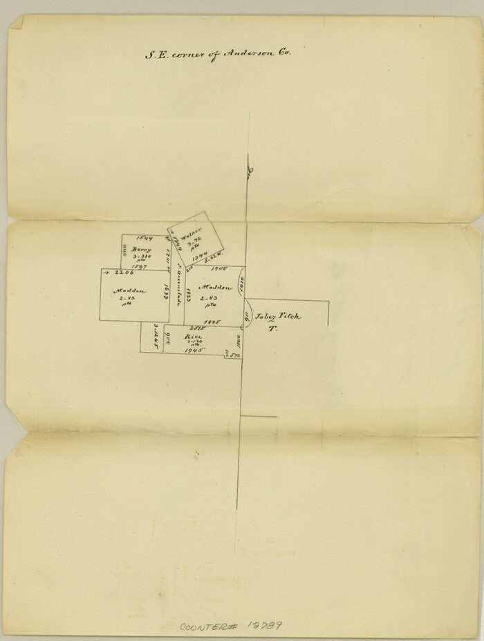
Anderson County Sketch File 17
1871
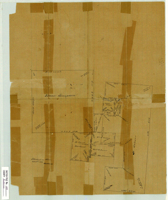
Anderson County Sketch File 18
1880

Anderson County Sketch File 19
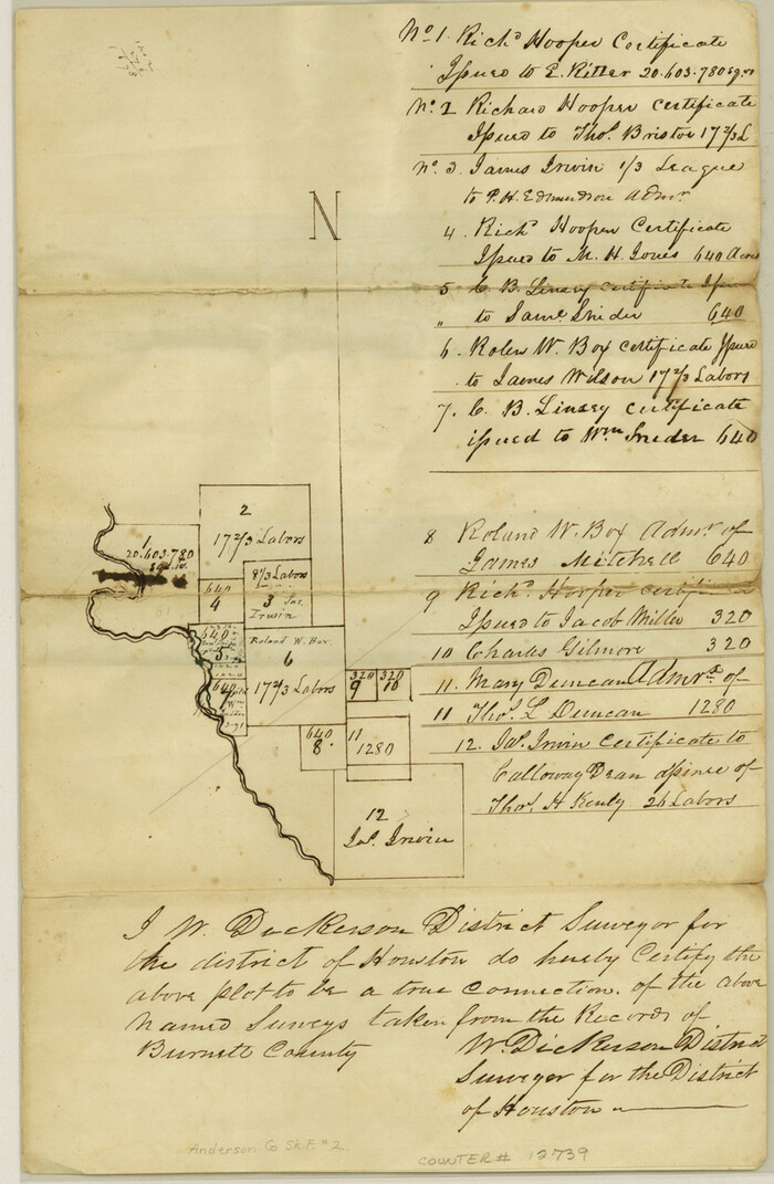
Anderson County Sketch File 2
1847

Anderson County Sketch File 20
1852

Anderson County Sketch File 22
1925
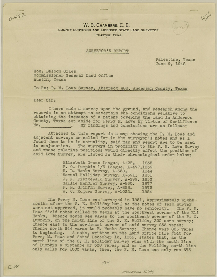
Anderson County Sketch File 23
1942
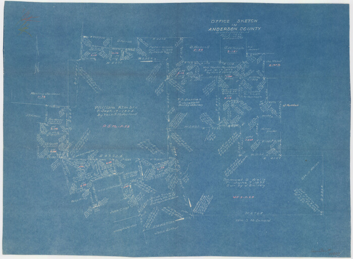
Anderson County Sketch File 24
1942
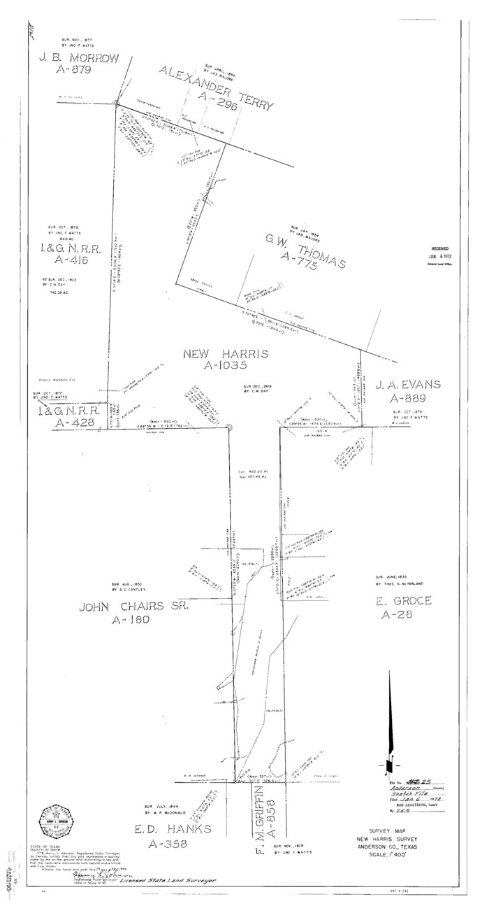
Anderson County Sketch File 25
1969
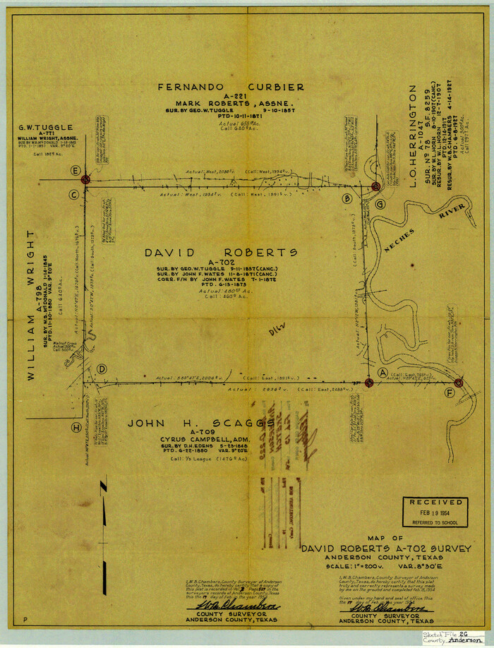
Anderson County Sketch File 26
1954
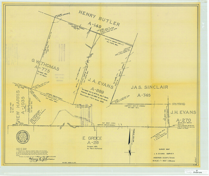
Anderson County Sketch File 27
1970

Anderson County Sketch File 28
1927
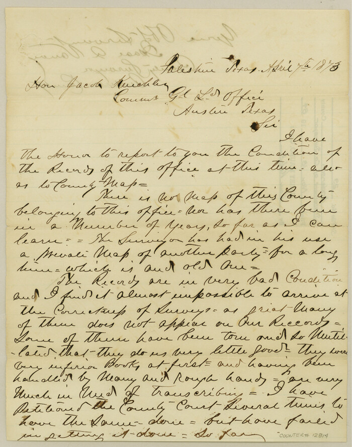
Anderson County Sketch File 29
1873

Anderson County Sketch File 3
1856
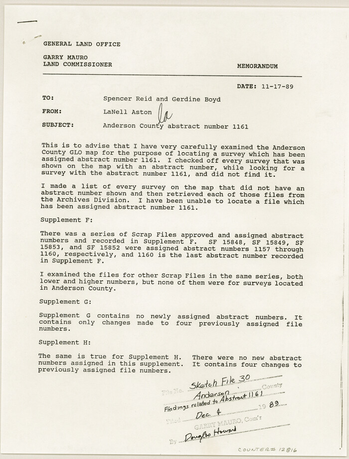
Anderson County Sketch File 30
1989

Anderson County Sketch File 32
2002
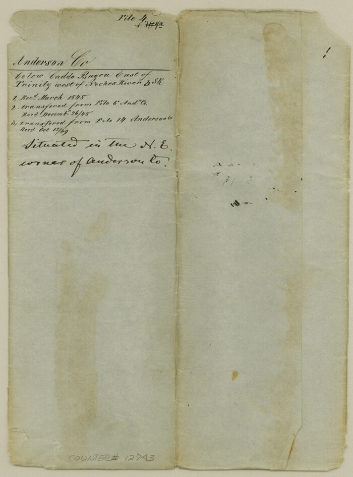
Anderson County Sketch File 4
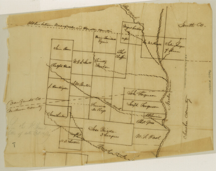
Anderson County Sketch File 4a
1849

Anderson County Sketch File 5
1856

Anderson County Sketch File 1
1845
-
Size
12.5 x 8.3 inches
-
Map/Doc
12737
-
Creation Date
1845

Anderson County Sketch File 11
1853
-
Size
8.7 x 6.6 inches
-
Map/Doc
12765
-
Creation Date
1853

Anderson County Sketch File 11a
1854
-
Size
8.2 x 8.2 inches
-
Map/Doc
12768
-
Creation Date
1854

Anderson County Sketch File 12
1852
-
Size
13.7 x 8.3 inches
-
Map/Doc
12771
-
Creation Date
1852

Anderson County Sketch File 13
1856
-
Size
8.1 x 8.3 inches
-
Map/Doc
12774
-
Creation Date
1856

Anderson County Sketch File 14
1857
-
Size
12.7 x 8.0 inches
-
Map/Doc
12779
-
Creation Date
1857

Anderson County Sketch File 15
1849
-
Size
13.6 x 15.6 inches
-
Map/Doc
10800
-
Creation Date
1849

Anderson County Sketch File 15a
1859
-
Size
14.5 x 8.0 inches
-
Map/Doc
12781
-
Creation Date
1859

Anderson County Sketch File 16
1849
-
Size
8.6 x 6.5 inches
-
Map/Doc
12783
-
Creation Date
1849

Anderson County Sketch File 16a
1853
-
Size
12.3 x 8.3 inches
-
Map/Doc
12786
-
Creation Date
1853

Anderson County Sketch File 16b
1859
-
Size
7.2 x 2.9 inches
-
Map/Doc
12788
-
Creation Date
1859

Anderson County Sketch File 17
1871
-
Size
10.2 x 7.7 inches
-
Map/Doc
12789
-
Creation Date
1871

Anderson County Sketch File 18
1880
-
Size
16.0 x 13.5 inches
-
Map/Doc
10801
-
Creation Date
1880

Anderson County Sketch File 19
-
Size
18.2 x 15.9 inches
-
Map/Doc
10802

Anderson County Sketch File 2
1847
-
Size
12.6 x 8.2 inches
-
Map/Doc
12739
-
Creation Date
1847

Anderson County Sketch File 20
1852
-
Size
8.6 x 6.5 inches
-
Map/Doc
12791
-
Creation Date
1852

Anderson County Sketch File 22
1925
-
Size
38.0 x 37.5 inches
-
Map/Doc
10315
-
Creation Date
1925

Anderson County Sketch File 23
1942
-
Size
11.2 x 8.7 inches
-
Map/Doc
12794
-
Creation Date
1942

Anderson County Sketch File 24
1942
-
Size
13.2 x 18.2 inches
-
Map/Doc
10803
-
Creation Date
1942

Anderson County Sketch File 25
1969
-
Size
40.9 x 21.9 inches
-
Map/Doc
10316
-
Creation Date
1969

Anderson County Sketch File 26
1954
-
Size
22.7 x 17.4 inches
-
Map/Doc
10805
-
Creation Date
1954

Anderson County Sketch File 27
1970
-
Size
19.5 x 23.7 inches
-
Map/Doc
10806
-
Creation Date
1970

Anderson County Sketch File 28
1927
-
Size
14.2 x 8.7 inches
-
Map/Doc
12798
-
Creation Date
1927

Anderson County Sketch File 29
1873
-
Size
10.4 x 8.2 inches
-
Map/Doc
12814
-
Creation Date
1873

Anderson County Sketch File 3
1856
-
Size
12.7 x 8.2 inches
-
Map/Doc
12741
-
Creation Date
1856

Anderson County Sketch File 30
1989
-
Size
11.3 x 8.6 inches
-
Map/Doc
12816
-
Creation Date
1989

Anderson County Sketch File 32
2002
-
Size
11.3 x 8.8 inches
-
Map/Doc
78312
-
Creation Date
2002

Anderson County Sketch File 4
-
Size
8.7 x 6.4 inches
-
Map/Doc
12743

Anderson County Sketch File 4a
1849
-
Size
9.5 x 12.0 inches
-
Map/Doc
12746
-
Creation Date
1849

Anderson County Sketch File 5
1856
-
Size
9.7 x 7.8 inches
-
Map/Doc
12750
-
Creation Date
1856