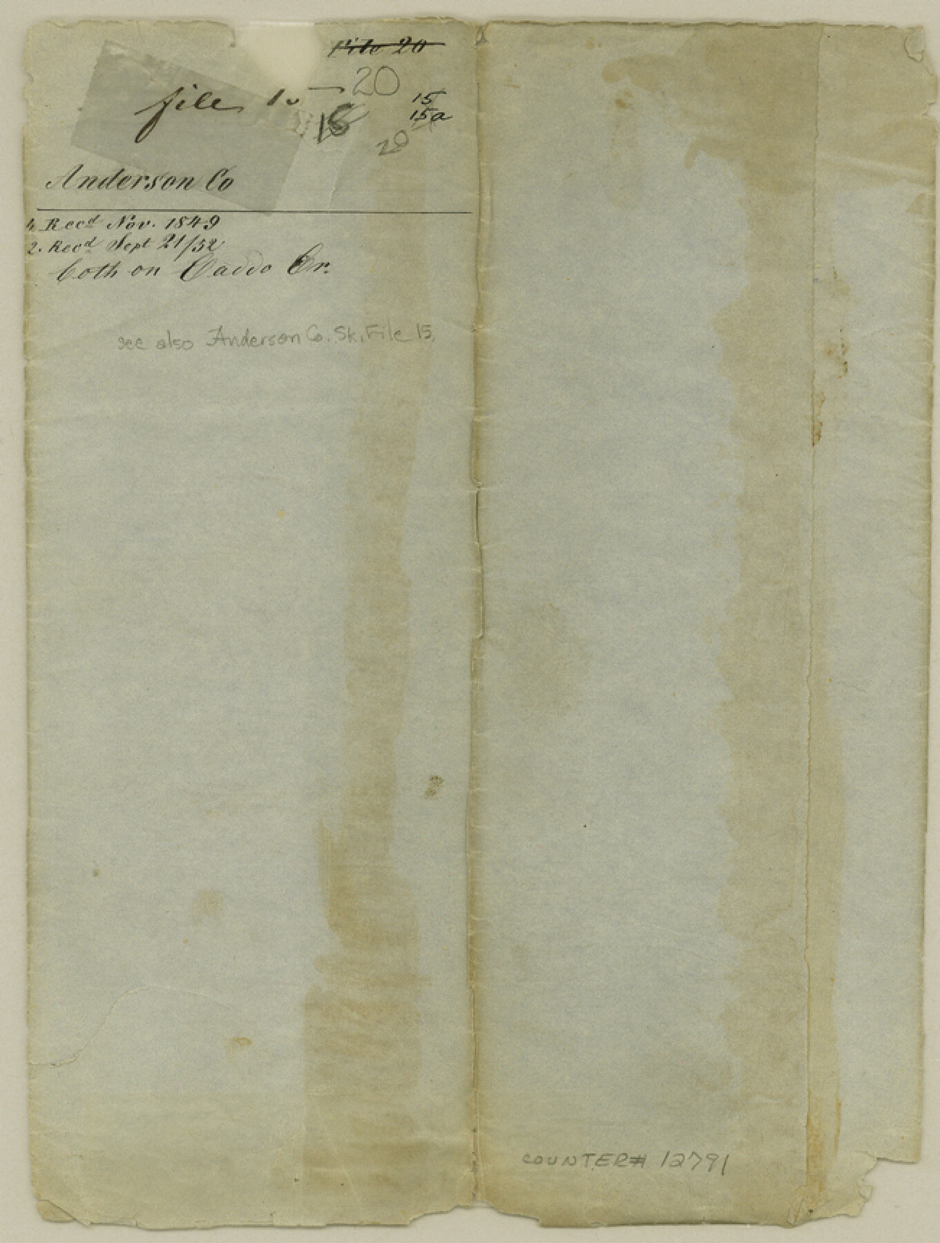
Anderson County Sketch File 20
[Surveys in the vicinity of the Jose Pineda three league grant]
-
Map/Doc
12791
-
Collection
General Map Collection
-
Object Dates
1852/9/21 (Creation Date)
1852/9/21 (File Date)
-
Counties
Anderson Henderson
-
Subjects
Surveying Sketch File
-
Height x Width
8.6 x 6.5 inches
21.8 x 16.5 cm
-
Medium
paper, manuscript
-
Features
[Caddo Creek]
Part of: General Map Collection
Flight Mission No. CGI-3N, Frame 48, Cameron County

Print $20.00
- Digital $50.00
Flight Mission No. CGI-3N, Frame 48, Cameron County
1954
Size 18.7 x 22.2 inches
Map/Doc 84554
Gregg County Working Sketch 11b

Print $20.00
- Digital $50.00
Gregg County Working Sketch 11b
1940
Size 11.9 x 15.3 inches
Map/Doc 63278
Limestone County Working Sketch 4

Print $20.00
- Digital $50.00
Limestone County Working Sketch 4
1921
Size 20.2 x 26.3 inches
Map/Doc 70554
Brewster County Rolled Sketch 114

Print $20.00
- Digital $50.00
Brewster County Rolled Sketch 114
1964
Size 17.3 x 11.4 inches
Map/Doc 5292
Pecos County Rolled Sketch 147

Print $449.00
- Digital $50.00
Pecos County Rolled Sketch 147
1957
Size 10.1 x 15.4 inches
Map/Doc 48414
Baylor County Sketch File 4

Print $4.00
- Digital $50.00
Baylor County Sketch File 4
1872
Size 12.8 x 8.3 inches
Map/Doc 14126

Presidio County Rolled Sketch 80A

Print $20.00
- Digital $50.00
Presidio County Rolled Sketch 80A
Size 26.9 x 28.9 inches
Map/Doc 7367

Trinity River, OwenCrossing Sheet/Elm Fork of Trinity River

Print $20.00
- Digital $50.00
Trinity River, OwenCrossing Sheet/Elm Fork of Trinity River
1914
Size 29.2 x 29.4 inches
Map/Doc 78340
Cass County Working Sketch 9

Print $20.00
- Digital $50.00
Cass County Working Sketch 9
1937
Size 28.4 x 32.7 inches
Map/Doc 67912
Chambers County NRC Article 33.136 Location Key Sheet

Print $20.00
- Digital $50.00
Chambers County NRC Article 33.136 Location Key Sheet
1982
Size 27.0 x 22.3 inches
Map/Doc 82999
You may also like
Houston County

Print $20.00
- Digital $50.00
Houston County
1859
Size 26.9 x 25.0 inches
Map/Doc 3682
Map of Block 1, H. & G. N. R. R. Co., Dickens and Kent Counties Texas

Print $20.00
- Digital $50.00
Map of Block 1, H. & G. N. R. R. Co., Dickens and Kent Counties Texas
1908
Size 32.0 x 24.2 inches
Map/Doc 10780
Amistad International Reservoir on Rio Grande 77

Print $20.00
- Digital $50.00
Amistad International Reservoir on Rio Grande 77
1949
Size 28.5 x 40.2 inches
Map/Doc 75505
Harrison County Working Sketch 23

Print $20.00
- Digital $50.00
Harrison County Working Sketch 23
1983
Size 43.2 x 32.2 inches
Map/Doc 66043
Neches River, City of Lufkin

Print $20.00
- Digital $50.00
Neches River, City of Lufkin
1940
Size 37.5 x 29.7 inches
Map/Doc 65081
Sketch for Blocks D6, D7, D8 situated in Val Verde County, Texas

Print $40.00
- Digital $50.00
Sketch for Blocks D6, D7, D8 situated in Val Verde County, Texas
1937
Size 100.1 x 40.0 inches
Map/Doc 93166
Pecos County Rolled Sketch 39A

Print $20.00
- Digital $50.00
Pecos County Rolled Sketch 39A
1908
Size 23.8 x 35.9 inches
Map/Doc 7218
Report of a resurvey of Texas & Pacific Ry. Lands in the 80 mile reservation made in 1930-31 for Kloh, Rumsey, and Abrams by W. J. Powell, Consulting Eng.

Print $77.00
- Digital $50.00
Report of a resurvey of Texas & Pacific Ry. Lands in the 80 mile reservation made in 1930-31 for Kloh, Rumsey, and Abrams by W. J. Powell, Consulting Eng.
1931
Size 11.3 x 8.8 inches
Map/Doc 2247
[G. & M. Block 5]
![91793, [G. & M. Block 5], Twichell Survey Records](https://historictexasmaps.com/wmedia_w700/maps/91793-1.tif.jpg)
Print $20.00
- Digital $50.00
[G. & M. Block 5]
Size 34.9 x 17.2 inches
Map/Doc 91793
Map of Marion County

Print $20.00
- Digital $50.00
Map of Marion County
1901
Size 29.6 x 44.3 inches
Map/Doc 4783
Kerr County Rolled Sketch 12

Print $20.00
- Digital $50.00
Kerr County Rolled Sketch 12
1951
Size 22.6 x 28.5 inches
Map/Doc 6497
Jefferson County Rolled Sketch 63

Print $20.00
- Digital $50.00
Jefferson County Rolled Sketch 63
1884
Size 26.5 x 36.4 inches
Map/Doc 6417