159 results

Anderson County Sketch File 19
10802, Anderson County Sketch File 19, General Map Collection
Print $40.00 - Digital $50.00

Anderson County Sketch File 19

Size: 18.2 x 15.9 inches
10802
Henderson County Sketch File 2
11755, Henderson County Sketch File 2, General Map Collection
Print $20.00 - Digital $50.00

Henderson County Sketch File 2

1850

Size: 21.6 x 17.1 inches
11755
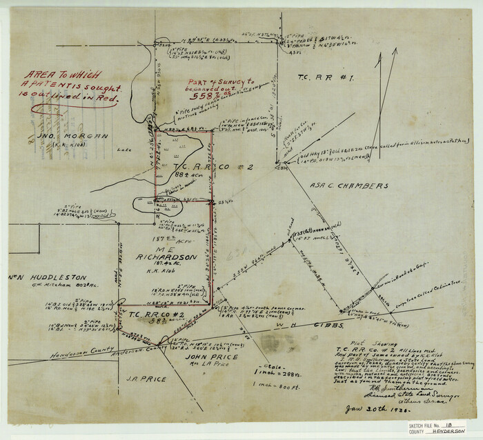
Henderson County Sketch File 18
11756, Henderson County Sketch File 18, General Map Collection
Print $20.00 - Digital $50.00

Henderson County Sketch File 18

1936
Size: 16.7 x 18.3 inches
11756
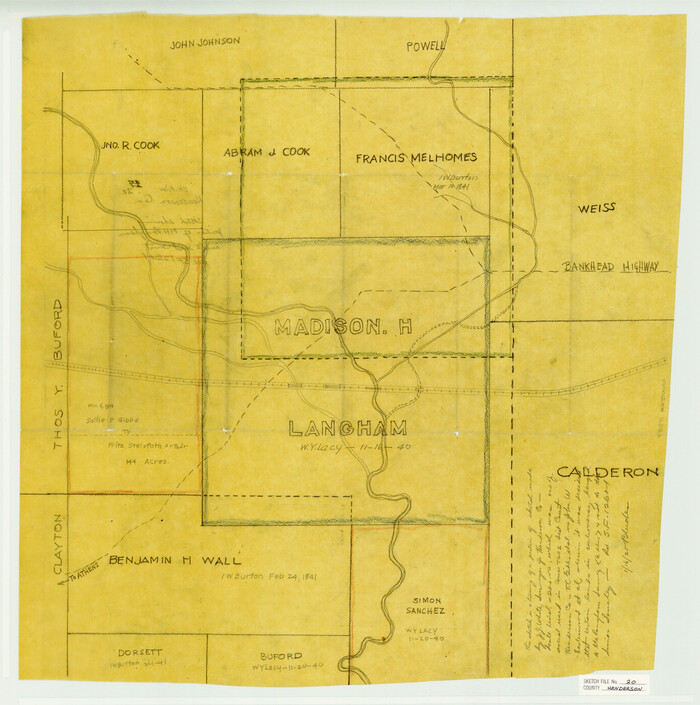
Henderson County Sketch File 20
11757, Henderson County Sketch File 20, General Map Collection
Print $20.00 - Digital $50.00

Henderson County Sketch File 20

Size: 23.7 x 23.5 inches
11757
Henderson County Sketch File 21
11758, Henderson County Sketch File 21, General Map Collection
Print $20.00 - Digital $50.00

Henderson County Sketch File 21

1941
Size: 27.8 x 17.9 inches
11758
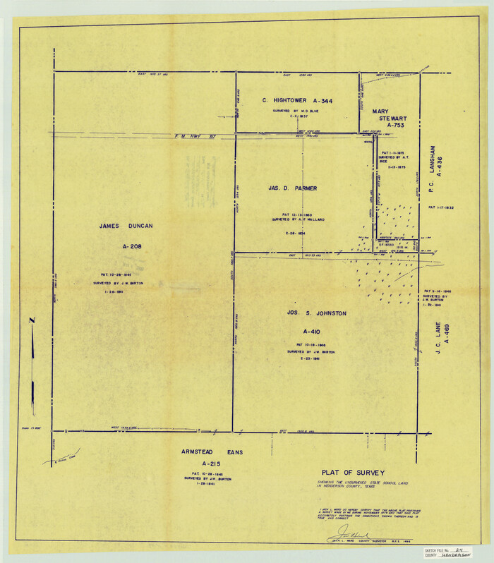
Henderson County Sketch File 24
11759, Henderson County Sketch File 24, General Map Collection
Print $20.00 - Digital $50.00

Henderson County Sketch File 24

1974

Size: 27.4 x 24.1 inches
11759
Anderson County Sketch File 3
12741, Anderson County Sketch File 3, General Map Collection
Print $4.00 - Digital $50.00

Anderson County Sketch File 3

1856

Size: 12.7 x 8.2 inches
12741
Anderson County Sketch File 4a
12746, Anderson County Sketch File 4a, General Map Collection
Print $9.00 - Digital $50.00

Anderson County Sketch File 4a

1849

Size: 9.5 x 12.0 inches
12746
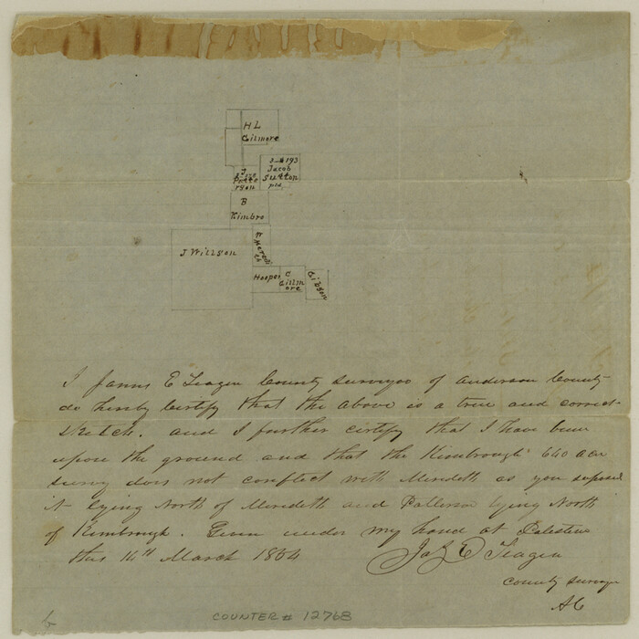
Anderson County Sketch File 11a
12768, Anderson County Sketch File 11a, General Map Collection
Print $6.00 - Digital $50.00

Anderson County Sketch File 11a

1854

Size: 8.2 x 8.2 inches
12768
Anderson County Sketch File 20
12791, Anderson County Sketch File 20, General Map Collection
Print $6.00 - Digital $50.00

Anderson County Sketch File 20

1852

Size: 8.6 x 6.5 inches
12791
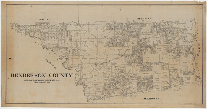
Map of Henderson County
16849-GC.tif
Print $40.00 - Digital $50.00

Map of Henderson County

1897

Size: 27.7 x 56.8 inches
16849
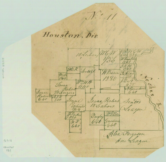
Sketch of Surveys on Neches River
182.tif
Print $2.00 - Digital $50.00

Sketch of Surveys on Neches River

1845

Size: 5.7 x 5.9 inches
182
Henderson County
1854-GC.tif
Print $40.00 - Digital $50.00

Henderson County

1922

Size: 33.3 x 62.4 inches
1854
Henderson County Sketch File 1
26318, Henderson County Sketch File 1, General Map Collection
Print $8.00 - Digital $50.00

Henderson County Sketch File 1

Size: 12.8 x 8.3 inches
26318
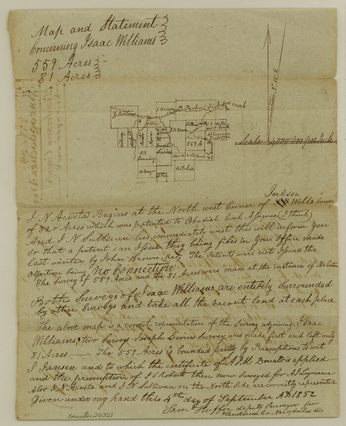
Henderson County Sketch File 3
26321, Henderson County Sketch File 3, General Map Collection
Print $4.00 - Digital $50.00

Henderson County Sketch File 3

1852

Size: 10.3 x 8.4 inches
26321
Henderson County Sketch File 4
26323, Henderson County Sketch File 4, General Map Collection
Print $4.00 - Digital $50.00

Henderson County Sketch File 4

1851

Size: 12.9 x 8.3 inches
26323
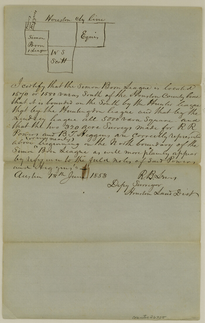
Henderson County Sketch File 5
26325, Henderson County Sketch File 5, General Map Collection
Print $4.00 - Digital $50.00

Henderson County Sketch File 5

1853

Size: 12.9 x 8.2 inches
26325
Henderson County Sketch File 6
26327, Henderson County Sketch File 6, General Map Collection
Print $4.00 - Digital $50.00

Henderson County Sketch File 6

1857

Size: 10.0 x 8.1 inches
26327
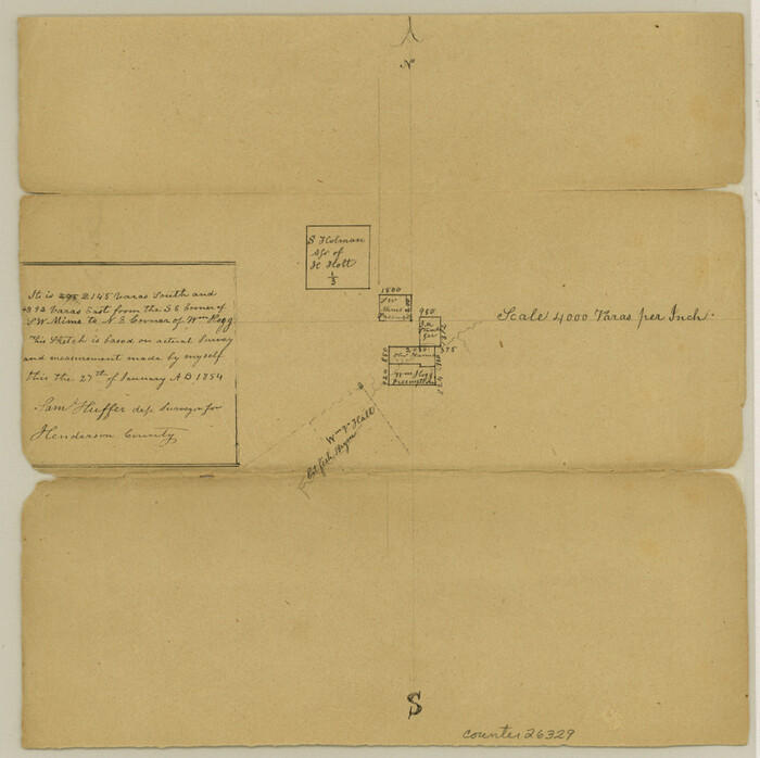
Henderson County Sketch File 7
26329, Henderson County Sketch File 7, General Map Collection
Print $4.00 - Digital $50.00

Henderson County Sketch File 7

1854

Size: 8.6 x 8.6 inches
26329
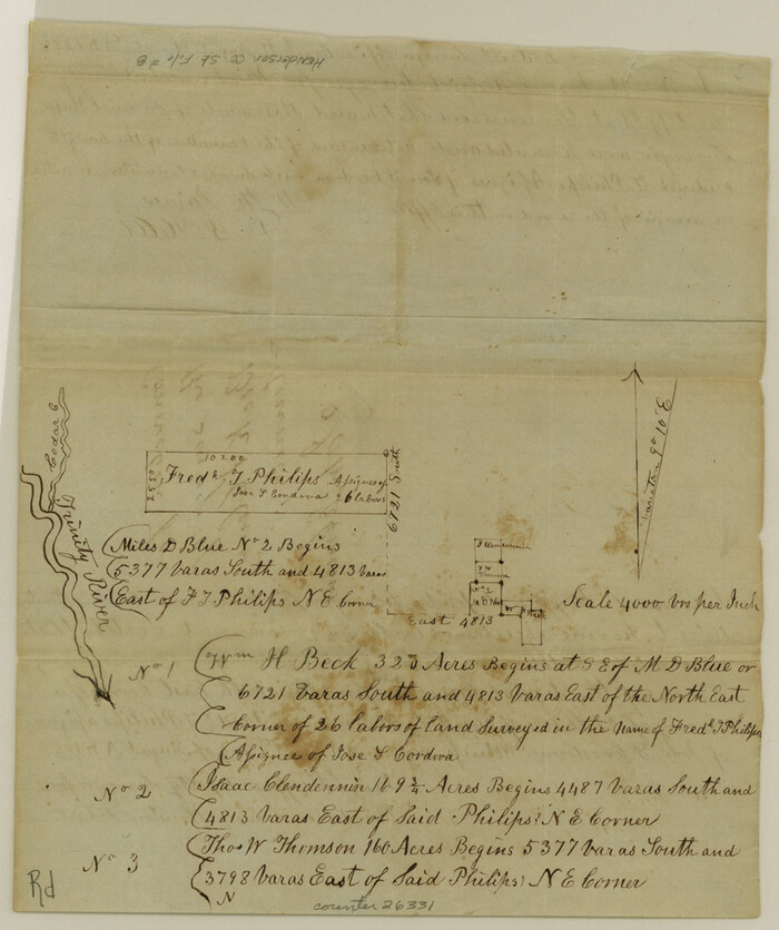
Henderson County Sketch File 8
26331, Henderson County Sketch File 8, General Map Collection
Print $6.00 - Digital $50.00

Henderson County Sketch File 8

1853

Size: 9.8 x 8.2 inches
26331
Henderson County Sketch File 8a
26334, Henderson County Sketch File 8a, General Map Collection
Print $18.00 - Digital $50.00

Henderson County Sketch File 8a

1861

Size: 10.3 x 8.4 inches
26334
Henderson County Sketch File 9
26343, Henderson County Sketch File 9, General Map Collection
Print $8.00 - Digital $50.00

Henderson County Sketch File 9

Size: 8.3 x 7.8 inches
26343
Henderson County Sketch File 10
26346, Henderson County Sketch File 10, General Map Collection
Print $4.00 - Digital $50.00

Henderson County Sketch File 10

1859

Size: 12.8 x 8.3 inches
26346
Henderson County Sketch File 11
26348, Henderson County Sketch File 11, General Map Collection
Print $2.00 - Digital $50.00

Henderson County Sketch File 11

Size: 8.5 x 3.7 inches
26348
Henderson County Sketch File 12
26349, Henderson County Sketch File 12, General Map Collection
Print $8.00 - Digital $50.00

Henderson County Sketch File 12

1871

Size: 8.4 x 7.4 inches
26349
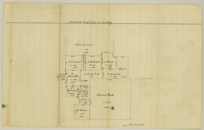
Henderson County Sketch File 13
26353, Henderson County Sketch File 13, General Map Collection
Print $4.00 - Digital $50.00

Henderson County Sketch File 13

1876

Size: 8.2 x 12.8 inches
26353
Henderson County Sketch File 14
26355, Henderson County Sketch File 14, General Map Collection
Print $4.00 - Digital $50.00

Henderson County Sketch File 14

1889

Size: 10.7 x 7.3 inches
26355
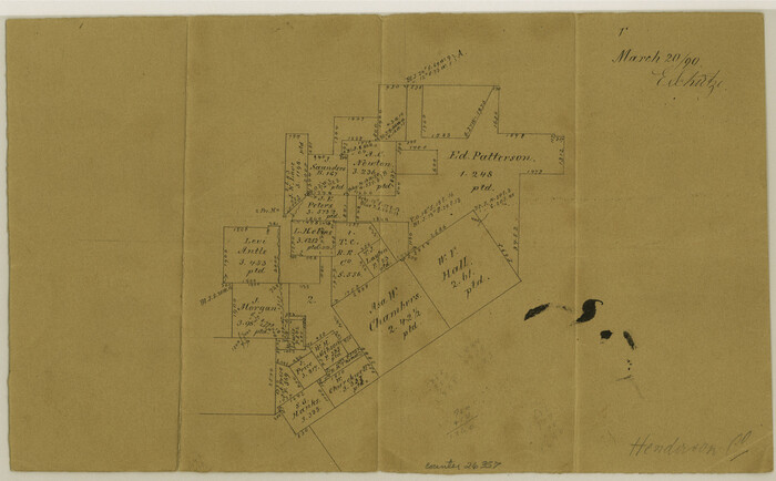
Henderson County Sketch File 15
26357, Henderson County Sketch File 15, General Map Collection
Print $4.00 - Digital $50.00

Henderson County Sketch File 15

1890

Size: 8.1 x 13.1 inches
26357
Henderson County Sketch File 16
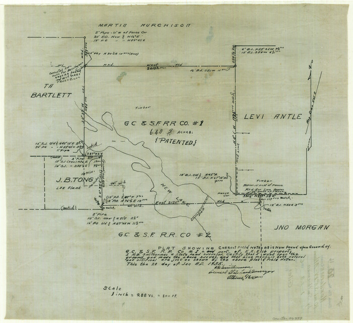
26359, Henderson County Sketch File 16, General Map Collection
Print $40.00 - Digital $50.00

Henderson County Sketch File 16

1935

Size: 14.9 x 16.3 inches
26359
Henderson County Sketch File 17
26361, Henderson County Sketch File 17, General Map Collection
Print $40.00 - Digital $50.00

Henderson County Sketch File 17

Size: 14.2 x 14.6 inches
26361
Anderson County Sketch File 19
10802, Anderson County Sketch File 19, General Map Collection
Print $40.00 - Digital $50.00

Anderson County Sketch File 19

  • Size

    18.2 x 15.9 inches

  • Map/Doc

    10802

Henderson County Sketch File 2
11755, Henderson County Sketch File 2, General Map Collection
Print $20.00 - Digital $50.00

Henderson County Sketch File 2

1850

  • Size

    21.6 x 17.1 inches

  • Map/Doc

    11755

  • Creation Date

    1850

Henderson County Sketch File 18
11756, Henderson County Sketch File 18, General Map Collection
Print $20.00 - Digital $50.00

Henderson County Sketch File 18

1936

  • Size

    16.7 x 18.3 inches

  • Map/Doc

    11756

  • Creation Date

    1936

Henderson County Sketch File 20
11757, Henderson County Sketch File 20, General Map Collection
Print $20.00 - Digital $50.00

Henderson County Sketch File 20

  • Size

    23.7 x 23.5 inches

  • Map/Doc

    11757

Henderson County Sketch File 21
11758, Henderson County Sketch File 21, General Map Collection
Print $20.00 - Digital $50.00

Henderson County Sketch File 21

1941

  • Size

    27.8 x 17.9 inches

  • Map/Doc

    11758

  • Creation Date

    1941

Henderson County Sketch File 24
11759, Henderson County Sketch File 24, General Map Collection
Print $20.00 - Digital $50.00

Henderson County Sketch File 24

1974

  • Size

    27.4 x 24.1 inches

  • Map/Doc

    11759

  • Creation Date

    1974

Anderson County Sketch File 3
12741, Anderson County Sketch File 3, General Map Collection
Print $4.00 - Digital $50.00

Anderson County Sketch File 3

1856

  • Size

    12.7 x 8.2 inches

  • Map/Doc

    12741

  • Creation Date

    1856

Anderson County Sketch File 4a
12746, Anderson County Sketch File 4a, General Map Collection
Print $9.00 - Digital $50.00

Anderson County Sketch File 4a

1849

  • Size

    9.5 x 12.0 inches

  • Map/Doc

    12746

  • Creation Date

    1849

Anderson County Sketch File 11a
12768, Anderson County Sketch File 11a, General Map Collection
Print $6.00 - Digital $50.00

Anderson County Sketch File 11a

1854

  • Size

    8.2 x 8.2 inches

  • Map/Doc

    12768

  • Creation Date

    1854

Anderson County Sketch File 20
12791, Anderson County Sketch File 20, General Map Collection
Print $6.00 - Digital $50.00

Anderson County Sketch File 20

1852

  • Size

    8.6 x 6.5 inches

  • Map/Doc

    12791

  • Creation Date

    1852

Map of Henderson County
16849, Map of Henderson County, General Map Collection
Print $40.00 - Digital $50.00

Map of Henderson County

1897

  • Size

    27.7 x 56.8 inches

  • Map/Doc

    16849

  • Creation Date

    1897

Sketch of Surveys on Neches River
182, Sketch of Surveys on Neches River, General Map Collection
Print $2.00 - Digital $50.00

Sketch of Surveys on Neches River

1845

  • Size

    5.7 x 5.9 inches

  • Map/Doc

    182

  • Creation Date

    1845

Henderson County
1854, Henderson County, General Map Collection
Print $40.00 - Digital $50.00

Henderson County

1922

  • Size

    33.3 x 62.4 inches

  • Map/Doc

    1854

  • Creation Date

    1922

Henderson County Sketch File 1
26318, Henderson County Sketch File 1, General Map Collection
Print $8.00 - Digital $50.00

Henderson County Sketch File 1

  • Size

    12.8 x 8.3 inches

  • Map/Doc

    26318

Henderson County Sketch File 3
26321, Henderson County Sketch File 3, General Map Collection
Print $4.00 - Digital $50.00

Henderson County Sketch File 3

1852

  • Size

    10.3 x 8.4 inches

  • Map/Doc

    26321

  • Creation Date

    1852

Henderson County Sketch File 4
26323, Henderson County Sketch File 4, General Map Collection
Print $4.00 - Digital $50.00

Henderson County Sketch File 4

1851

  • Size

    12.9 x 8.3 inches

  • Map/Doc

    26323

  • Creation Date

    1851

Henderson County Sketch File 5
26325, Henderson County Sketch File 5, General Map Collection
Print $4.00 - Digital $50.00

Henderson County Sketch File 5

1853

  • Size

    12.9 x 8.2 inches

  • Map/Doc

    26325

  • Creation Date

    1853

Henderson County Sketch File 6
26327, Henderson County Sketch File 6, General Map Collection
Print $4.00 - Digital $50.00

Henderson County Sketch File 6

1857

  • Size

    10.0 x 8.1 inches

  • Map/Doc

    26327

  • Creation Date

    1857

Henderson County Sketch File 7
26329, Henderson County Sketch File 7, General Map Collection
Print $4.00 - Digital $50.00

Henderson County Sketch File 7

1854

  • Size

    8.6 x 8.6 inches

  • Map/Doc

    26329

  • Creation Date

    1854

Henderson County Sketch File 8
26331, Henderson County Sketch File 8, General Map Collection
Print $6.00 - Digital $50.00

Henderson County Sketch File 8

1853

  • Size

    9.8 x 8.2 inches

  • Map/Doc

    26331

  • Creation Date

    1853

Henderson County Sketch File 8a
26334, Henderson County Sketch File 8a, General Map Collection
Print $18.00 - Digital $50.00

Henderson County Sketch File 8a

1861

  • Size

    10.3 x 8.4 inches

  • Map/Doc

    26334

  • Creation Date

    1861

Henderson County Sketch File 9
26343, Henderson County Sketch File 9, General Map Collection
Print $8.00 - Digital $50.00

Henderson County Sketch File 9

  • Size

    8.3 x 7.8 inches

  • Map/Doc

    26343

Henderson County Sketch File 10
26346, Henderson County Sketch File 10, General Map Collection
Print $4.00 - Digital $50.00

Henderson County Sketch File 10

1859

  • Size

    12.8 x 8.3 inches

  • Map/Doc

    26346

  • Creation Date

    1859

Henderson County Sketch File 11
26348, Henderson County Sketch File 11, General Map Collection
Print $2.00 - Digital $50.00

Henderson County Sketch File 11

  • Size

    8.5 x 3.7 inches

  • Map/Doc

    26348

Henderson County Sketch File 12
26349, Henderson County Sketch File 12, General Map Collection
Print $8.00 - Digital $50.00

Henderson County Sketch File 12

1871

  • Size

    8.4 x 7.4 inches

  • Map/Doc

    26349

  • Creation Date

    1871

Henderson County Sketch File 13
26353, Henderson County Sketch File 13, General Map Collection
Print $4.00 - Digital $50.00

Henderson County Sketch File 13

1876

  • Size

    8.2 x 12.8 inches

  • Map/Doc

    26353

  • Creation Date

    1876

Henderson County Sketch File 14
26355, Henderson County Sketch File 14, General Map Collection
Print $4.00 - Digital $50.00

Henderson County Sketch File 14

1889

  • Size

    10.7 x 7.3 inches

  • Map/Doc

    26355

  • Creation Date

    1889

Henderson County Sketch File 15
26357, Henderson County Sketch File 15, General Map Collection
Print $4.00 - Digital $50.00

Henderson County Sketch File 15

1890

  • Size

    8.1 x 13.1 inches

  • Map/Doc

    26357

  • Creation Date

    1890

Henderson County Sketch File 16
26359, Henderson County Sketch File 16, General Map Collection
Print $40.00 - Digital $50.00

Henderson County Sketch File 16

1935

  • Size

    14.9 x 16.3 inches

  • Map/Doc

    26359

  • Creation Date

    1935

Henderson County Sketch File 17
26361, Henderson County Sketch File 17, General Map Collection
Print $40.00 - Digital $50.00

Henderson County Sketch File 17

  • Size

    14.2 x 14.6 inches

  • Map/Doc

    26361