
Henderson County Rolled Sketch 14
2012
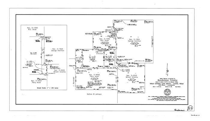
Henderson County Working Sketch 44
1998

Henderson County Working Sketch 43
1994
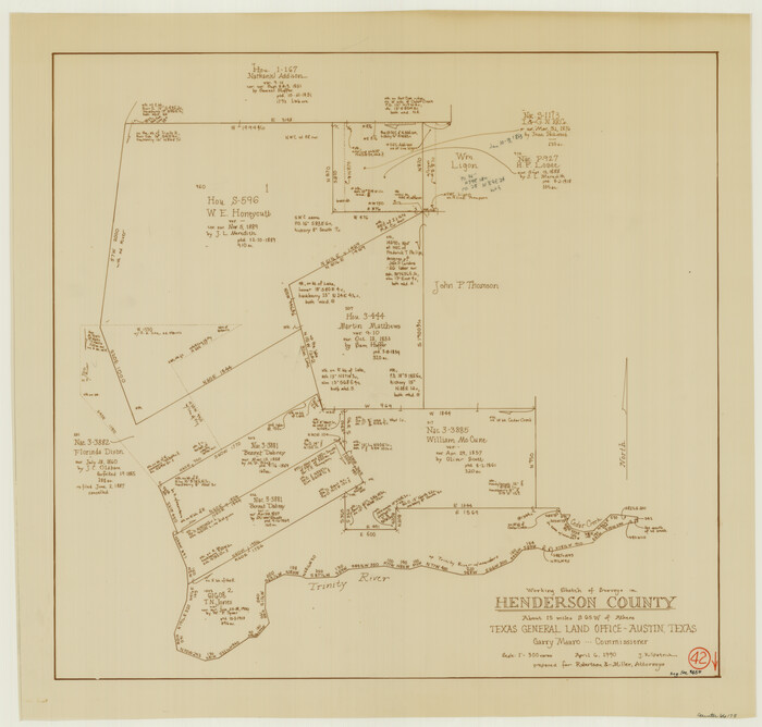
Henderson County Working Sketch 42
1990
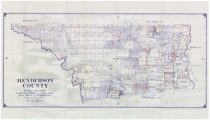
Henderson County Working Sketch Graphic Index
1988
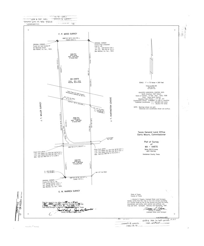
Henderson County Rolled Sketch 13
1987
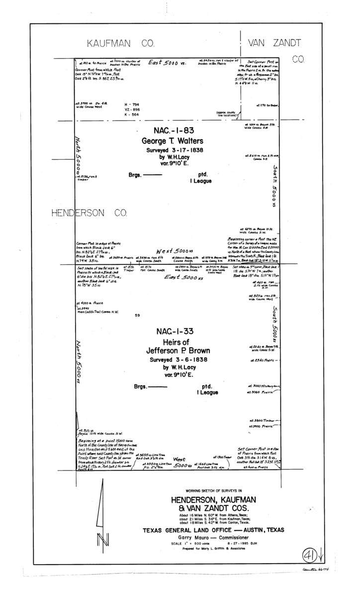
Henderson County Working Sketch 41
1985
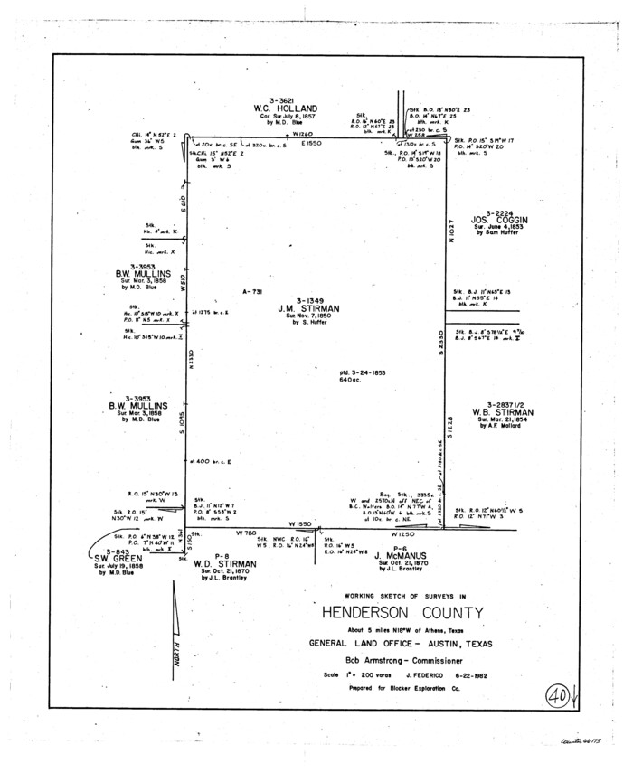
Henderson County Working Sketch 40
1982

Henderson County Working Sketch 39
1982
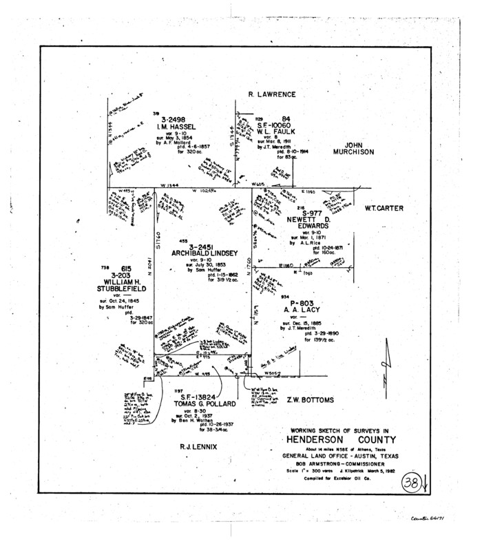
Henderson County Working Sketch 38
1982
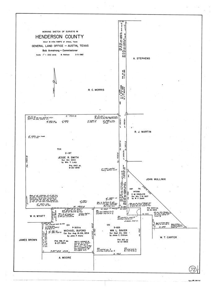
Henderson County Working Sketch 37
1982

Map of Henderson County
1871
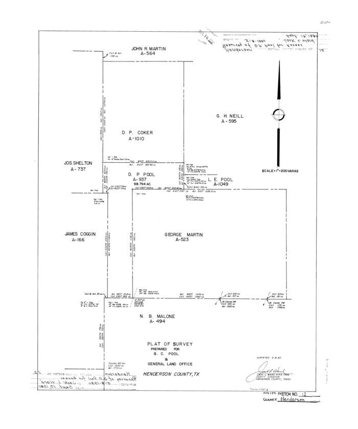
Henderson County Rolled Sketch 12
1980
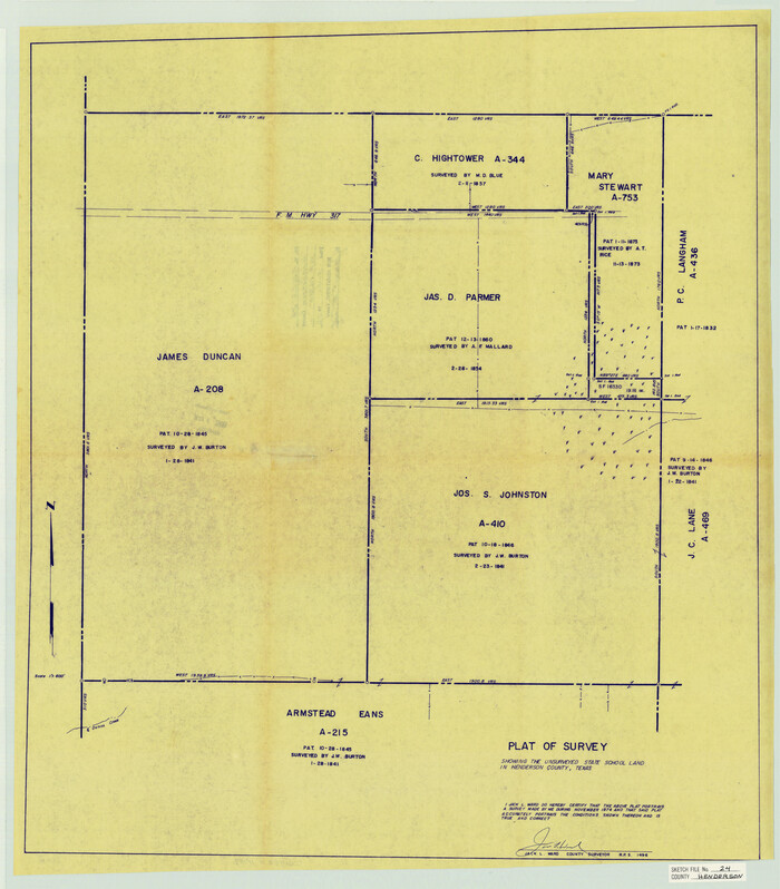
Henderson County Sketch File 24
1974

Henderson County Working Sketch 36
1973

Henderson County Working Sketch 34
1965
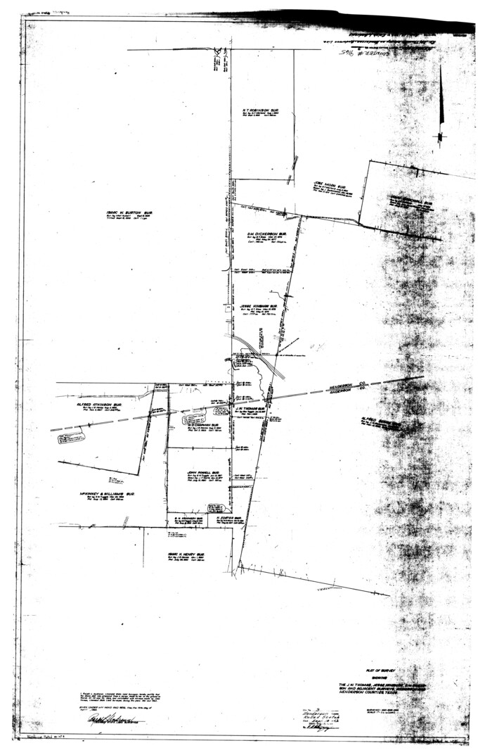
Henderson County Rolled Sketch 9
1963
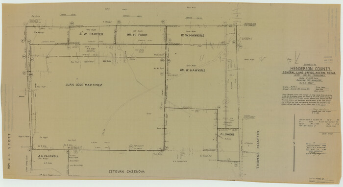
Henderson County Rolled Sketch 7
1963
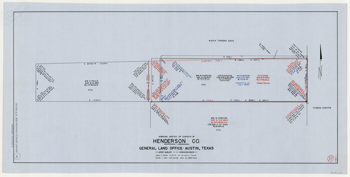
Henderson County Working Sketch 35
1963

Henderson County Working Sketch 33
1963
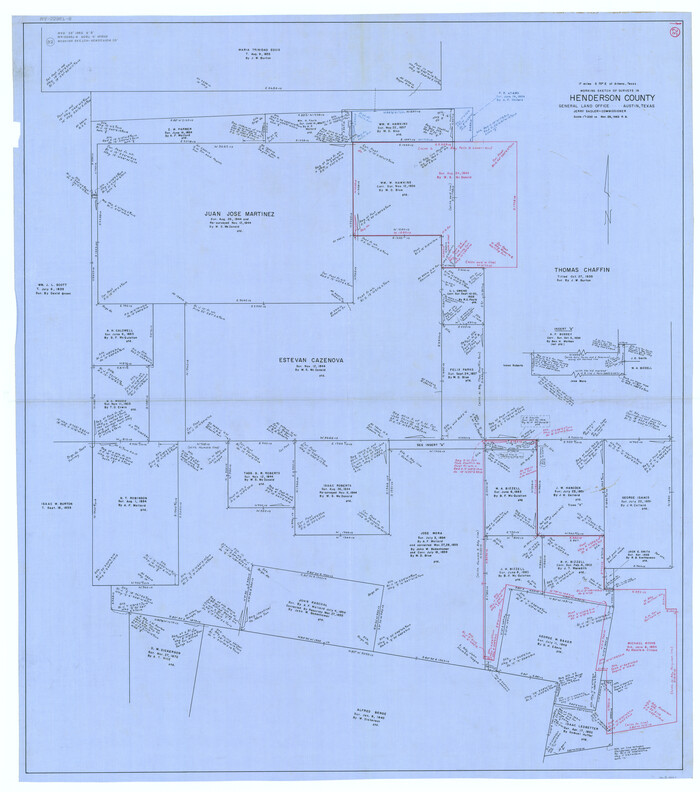
Henderson County Working Sketch 32
1963
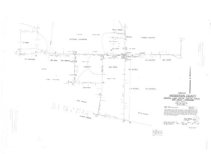
Henderson County Rolled Sketch 8
1963

Henderson County Rolled Sketch 5
1962
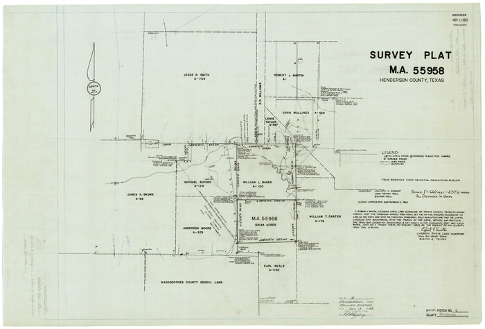
Henderson County Rolled Sketch 6
1962

Henderson County Working Sketch 31
1962
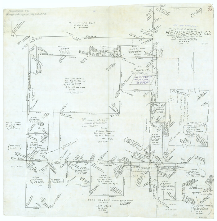
Henderson County Working Sketch 30
1962

Henderson County Working Sketch 29
1961

Henderson County Rolled Sketch 14
2012
-
Size
19.3 x 32.3 inches
-
Map/Doc
95715
-
Creation Date
2012

Henderson County Working Sketch 44
1998
-
Size
19.0 x 33.0 inches
-
Map/Doc
66177
-
Creation Date
1998

Henderson County Working Sketch 43
1994
-
Size
36.7 x 39.0 inches
-
Map/Doc
66176
-
Creation Date
1994

Henderson County Working Sketch 42
1990
-
Size
23.5 x 24.6 inches
-
Map/Doc
66175
-
Creation Date
1990
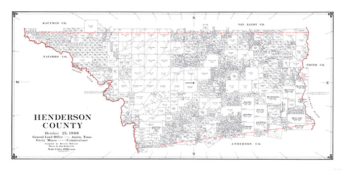
Henderson County
1988
-
Size
34.6 x 68.7 inches
-
Map/Doc
73178
-
Creation Date
1988

Henderson County Working Sketch Graphic Index
1988
-
Size
37.1 x 64.7 inches
-
Map/Doc
76576
-
Creation Date
1988

Henderson County
1988
-
Size
30.8 x 63.0 inches
-
Map/Doc
77310
-
Creation Date
1988

Henderson County
1988
-
Size
35.3 x 69.7 inches
-
Map/Doc
95528
-
Creation Date
1988

Henderson County Rolled Sketch 13
1987
-
Size
25.3 x 21.0 inches
-
Map/Doc
6205
-
Creation Date
1987

Henderson County Working Sketch 41
1985
-
Size
28.8 x 17.0 inches
-
Map/Doc
66174
-
Creation Date
1985

Henderson County Working Sketch 40
1982
-
Size
23.2 x 19.0 inches
-
Map/Doc
66173
-
Creation Date
1982

Henderson County Working Sketch 39
1982
-
Size
24.3 x 19.0 inches
-
Map/Doc
66172
-
Creation Date
1982

Henderson County Working Sketch 38
1982
-
Size
19.3 x 17.0 inches
-
Map/Doc
66171
-
Creation Date
1982

Henderson County Working Sketch 37
1982
-
Size
29.4 x 22.0 inches
-
Map/Doc
66170
-
Creation Date
1982

Map of Henderson County
1871
-
Size
16.3 x 30.3 inches
-
Map/Doc
4563
-
Creation Date
1871

Henderson County Rolled Sketch 12
1980
-
Size
22.8 x 19.1 inches
-
Map/Doc
6204
-
Creation Date
1980

Henderson County Sketch File 24
1974
-
Size
27.4 x 24.1 inches
-
Map/Doc
11759
-
Creation Date
1974

Henderson County Working Sketch 36
1973
-
Size
27.5 x 19.0 inches
-
Map/Doc
66169
-
Creation Date
1973

Henderson County Working Sketch 34
1965
-
Size
22.9 x 35.8 inches
-
Map/Doc
66167
-
Creation Date
1965

Henderson County Rolled Sketch 9
1963
-
Size
51.9 x 33.8 inches
-
Map/Doc
9165
-
Creation Date
1963

Henderson County Rolled Sketch 7
1963
-
Size
22.9 x 41.9 inches
-
Map/Doc
6203
-
Creation Date
1963

Henderson County Working Sketch 35
1963
-
Size
19.3 x 38.1 inches
-
Map/Doc
66168
-
Creation Date
1963

Henderson County Working Sketch 33
1963
-
Size
31.2 x 29.3 inches
-
Map/Doc
66166
-
Creation Date
1963

Henderson County Working Sketch 32
1963
-
Size
56.5 x 50.0 inches
-
Map/Doc
66165
-
Creation Date
1963

Henderson County Rolled Sketch 8
1963
-
Size
37.3 x 50.9 inches
-
Map/Doc
9164
-
Creation Date
1963

Henderson County Rolled Sketch 5
1962
-
Size
62.7 x 43.9 inches
-
Map/Doc
49660
-
Creation Date
1962

Henderson County Rolled Sketch 6
1962
-
Size
23.4 x 34.8 inches
-
Map/Doc
6202
-
Creation Date
1962

Henderson County Working Sketch 31
1962
-
Size
38.7 x 39.6 inches
-
Map/Doc
66164
-
Creation Date
1962

Henderson County Working Sketch 30
1962
-
Size
44.5 x 43.8 inches
-
Map/Doc
66163
-
Creation Date
1962

Henderson County Working Sketch 29
1961
-
Size
39.3 x 41.9 inches
-
Map/Doc
66162
-
Creation Date
1961