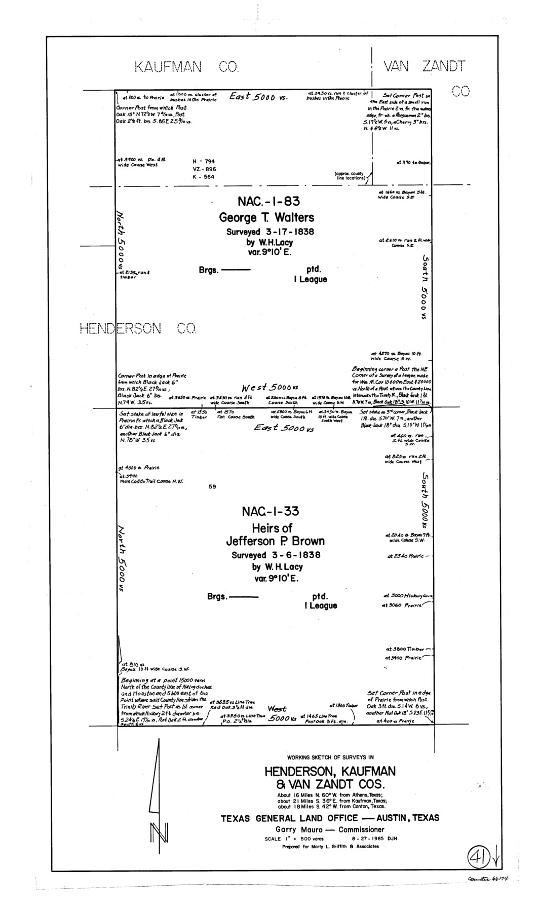
Henderson County Working Sketch 41
-
Map/Doc
66174
-
Collection
General Map Collection
-
Object Dates
8/27/1985 (Creation Date)
-
People and Organizations
Douglas Howard (Draftsman)
-
Counties
Henderson Kaufman Van Zandt
-
Subjects
Surveying Working Sketch
-
Height x Width
28.8 x 17.0 inches
73.2 x 43.2 cm
-
Scale
1" = 500 varas
Part of: General Map Collection
Howard County Sketch File 10

Print $20.00
- Digital $50.00
Howard County Sketch File 10
Size 22.5 x 22.0 inches
Map/Doc 11798
Liberty County Working Sketch 52

Print $20.00
- Digital $50.00
Liberty County Working Sketch 52
1956
Size 32.5 x 24.6 inches
Map/Doc 70512
Harris County Boundary File 39 (11)

Print $8.00
- Digital $50.00
Harris County Boundary File 39 (11)
Size 12.8 x 8.0 inches
Map/Doc 54335
Palo Pinto County Working Sketch 13

Print $20.00
- Digital $50.00
Palo Pinto County Working Sketch 13
1947
Size 27.4 x 24.2 inches
Map/Doc 71396
Proposed bombing and machine gun restricted areas along Gulf of Mexico from San Luis Pass to Aransas Pass

Print $20.00
- Digital $50.00
Proposed bombing and machine gun restricted areas along Gulf of Mexico from San Luis Pass to Aransas Pass
1941
Size 11.1 x 24.1 inches
Map/Doc 3024
Louisiana and Texas Intracoastal Waterway

Print $20.00
- Digital $50.00
Louisiana and Texas Intracoastal Waterway
1929
Size 13.6 x 19.6 inches
Map/Doc 83342
Map Showing Survey of Navasota River Bed in Limestone County Texas Located North of Houston and Texas Central Railroad Bridge

Print $20.00
- Digital $50.00
Map Showing Survey of Navasota River Bed in Limestone County Texas Located North of Houston and Texas Central Railroad Bridge
1921
Size 45.8 x 38.5 inches
Map/Doc 65348
Frio County Sketch File 18

Print $8.00
- Digital $50.00
Frio County Sketch File 18
1961
Size 14.3 x 8.9 inches
Map/Doc 23155
Map of the reconnaissance in Texas by Lieuts Blake & Meade of the Corps of Topl. Engs.

Print $20.00
- Digital $50.00
Map of the reconnaissance in Texas by Lieuts Blake & Meade of the Corps of Topl. Engs.
1846
Size 27.1 x 22.5 inches
Map/Doc 2003
Madison County Rolled Sketch 1

Print $20.00
- Digital $50.00
Madison County Rolled Sketch 1
1966
Size 36.7 x 46.0 inches
Map/Doc 9485
[Abstract Numbering Register - Kaufman through Reagan]
![82967, [Abstract Numbering Register - Kaufman through Reagan], General Map Collection](https://historictexasmaps.com/wmedia_w700/pdf_converted_jpg/qi_pdf_thumbnail_30614.jpg)
[Abstract Numbering Register - Kaufman through Reagan]
Map/Doc 82967
Crockett County Rolled Sketch 26B

Print $20.00
- Digital $50.00
Crockett County Rolled Sketch 26B
Size 33.1 x 40.1 inches
Map/Doc 8694
You may also like
Crane County Sketch File 20

Print $8.00
- Digital $50.00
Crane County Sketch File 20
1928
Size 11.0 x 8.5 inches
Map/Doc 19586
Harris County Working Sketch 19

Print $40.00
- Digital $50.00
Harris County Working Sketch 19
1921
Size 42.5 x 55.0 inches
Map/Doc 65911
Zapata County Working Sketch 24

Print $20.00
- Digital $50.00
Zapata County Working Sketch 24
1992
Size 28.2 x 23.9 inches
Map/Doc 62075
Webb County Sketch File 19

Print $15.00
- Digital $50.00
Webb County Sketch File 19
1902
Size 9.2 x 17.0 inches
Map/Doc 39822
Harris County Working Sketch 82

Print $20.00
- Digital $50.00
Harris County Working Sketch 82
1969
Size 14.9 x 34.5 inches
Map/Doc 65974
Flight Mission No. CUG-1P, Frame 171, Kleberg County

Print $20.00
- Digital $50.00
Flight Mission No. CUG-1P, Frame 171, Kleberg County
1956
Size 18.5 x 22.1 inches
Map/Doc 86178
Burleson County Sketch File 2

Print $4.00
- Digital $50.00
Burleson County Sketch File 2
1847
Size 10.7 x 8.0 inches
Map/Doc 16645
Sketch of 103rd Meridian, W. L. Showing Conflict of Capitol Leagues

Print $40.00
- Digital $50.00
Sketch of 103rd Meridian, W. L. Showing Conflict of Capitol Leagues
Size 25.8 x 122.0 inches
Map/Doc 65504
Map of Webb County

Print $20.00
- Digital $50.00
Map of Webb County
1895
Size 34.8 x 27.0 inches
Map/Doc 4132
Flight Mission No. CLL-1N, Frame 106, Willacy County

Print $20.00
- Digital $50.00
Flight Mission No. CLL-1N, Frame 106, Willacy County
1954
Size 18.4 x 22.0 inches
Map/Doc 87040

Jefferson County Sketch File 15a

Print $8.00
- Digital $50.00
Jefferson County Sketch File 15a
1872
Size 15.6 x 6.7 inches
Map/Doc 28156