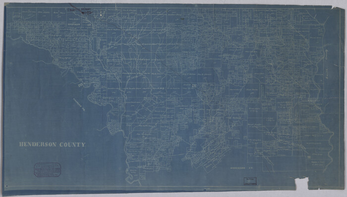
Anderson County Rolled Sketch 10
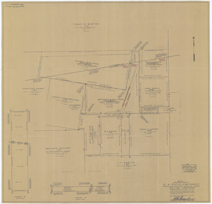

Print $20.00
- Digital $50.00
Anderson County Rolled Sketch 10
1956
Size: 33.4 x 34.6 inches
8365
Anderson County Rolled Sketch 11


Print $20.00
- Digital $50.00
Anderson County Rolled Sketch 11
1956
Size: 33.4 x 34.4 inches
8366
Anderson County Sketch File 11a
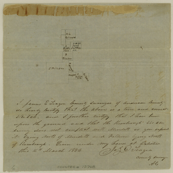

Print $6.00
- Digital $50.00
Anderson County Sketch File 11a
1854
Size: 8.2 x 8.2 inches
12768
Anderson County Sketch File 19


Print $40.00
- Digital $50.00
Anderson County Sketch File 19
Size: 18.2 x 15.9 inches
10802
Anderson County Sketch File 20


Print $6.00
- Digital $50.00
Anderson County Sketch File 20
1852
Size: 8.6 x 6.5 inches
12791
Anderson County Sketch File 3


Print $4.00
- Digital $50.00
Anderson County Sketch File 3
1856
Size: 12.7 x 8.2 inches
12741
Anderson County Sketch File 4a
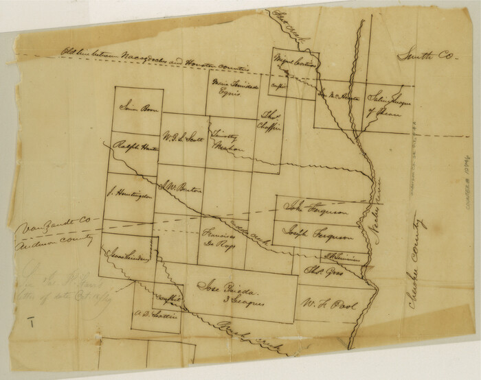

Print $9.00
- Digital $50.00
Anderson County Sketch File 4a
1849
Size: 9.5 x 12.0 inches
12746
Anderson County Working Sketch 13


Print $20.00
- Digital $50.00
Anderson County Working Sketch 13
1930
Size: 34.0 x 21.9 inches
67013
Anderson County Working Sketch 16
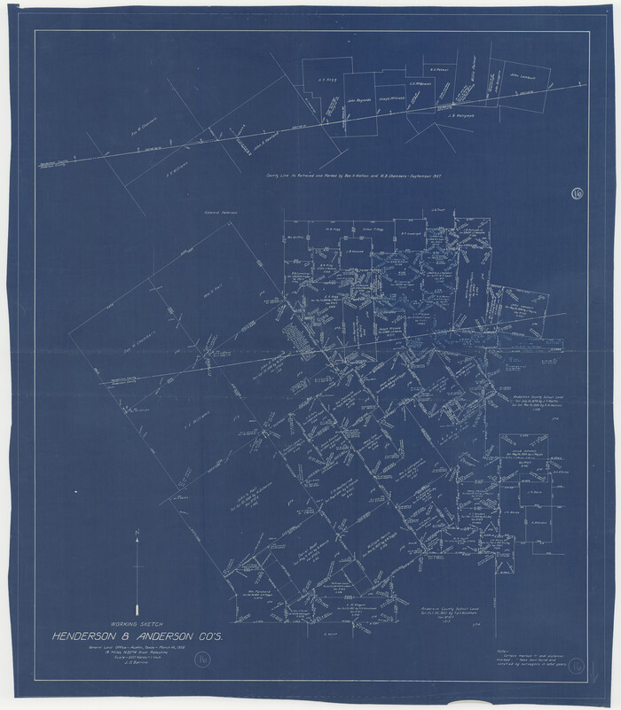

Print $20.00
- Digital $50.00
Anderson County Working Sketch 16
1938
Size: 42.4 x 37.1 inches
67016
Anderson County Working Sketch 8


Print $20.00
- Digital $50.00
Anderson County Working Sketch 8
1923
Size: 18.6 x 20.6 inches
67007
English Field Notes of the Spanish Archives - Books DB3 & WR


English Field Notes of the Spanish Archives - Books DB3 & WR
1835
96548
English Field Notes of the Spanish Archives - Books JMH, MCMCHB, TGI


English Field Notes of the Spanish Archives - Books JMH, MCMCHB, TGI
1835
96547
English Field Notes of the Spanish Archives - Books SAS, DB4, GWS, JWB, and JWB3


English Field Notes of the Spanish Archives - Books SAS, DB4, GWS, JWB, and JWB3
1835
96551
General Highway Map, Henderson County, Texas


Print $20.00
General Highway Map, Henderson County, Texas
1939
Size: 18.3 x 25.0 inches
79125
General Highway Map, Henderson County, Texas
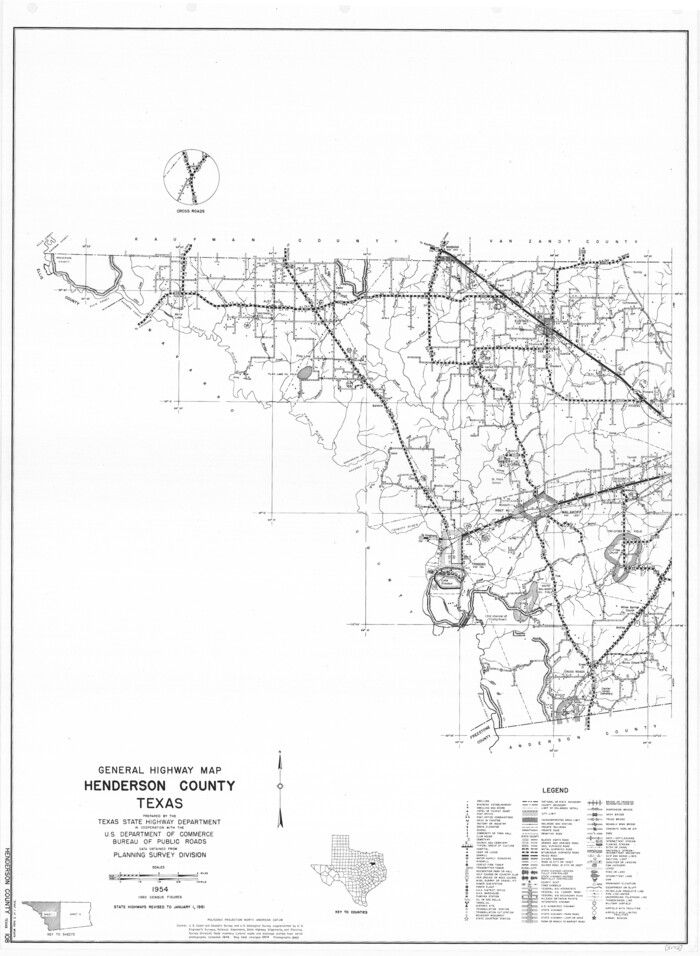

Print $20.00
General Highway Map, Henderson County, Texas
1961
Size: 24.8 x 18.2 inches
79516
General Highway Map, Henderson County, Texas


Print $20.00
General Highway Map, Henderson County, Texas
1961
Size: 24.9 x 18.0 inches
79517
General Highway Map. Detail of Cities and Towns in Henderson County, Texas
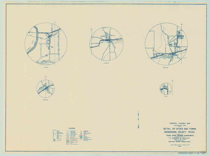

Print $20.00
General Highway Map. Detail of Cities and Towns in Henderson County, Texas
1939
Size: 18.6 x 25.0 inches
79126
Henderson County Boundary File 2


Print $12.00
- Digital $50.00
Henderson County Boundary File 2
Size: 10.6 x 8.2 inches
54650
Henderson County Boundary File 2a
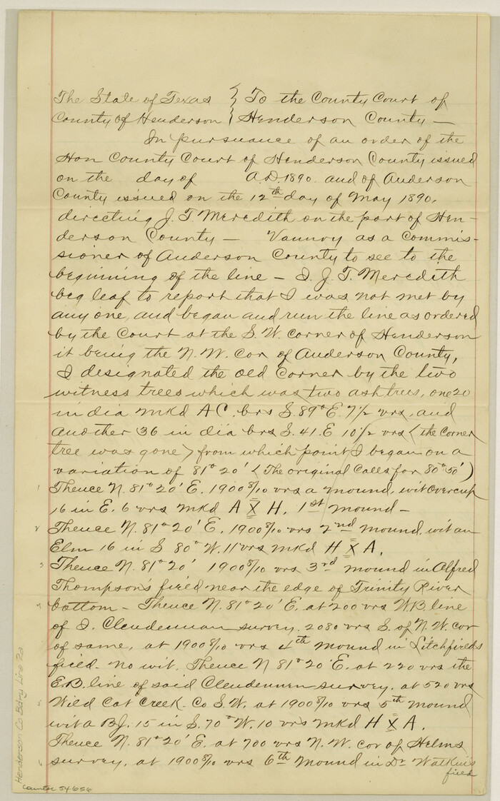

Print $12.00
- Digital $50.00
Henderson County Boundary File 2a
Size: 14.2 x 8.8 inches
54656
Anderson County Rolled Sketch 10


Print $20.00
- Digital $50.00
Anderson County Rolled Sketch 10
1956
-
Size
33.4 x 34.6 inches
-
Map/Doc
8365
-
Creation Date
1956
Anderson County Rolled Sketch 11


Print $20.00
- Digital $50.00
Anderson County Rolled Sketch 11
1956
-
Size
33.4 x 34.4 inches
-
Map/Doc
8366
-
Creation Date
1956
Anderson County Sketch File 11a


Print $6.00
- Digital $50.00
Anderson County Sketch File 11a
1854
-
Size
8.2 x 8.2 inches
-
Map/Doc
12768
-
Creation Date
1854
Anderson County Sketch File 19


Print $40.00
- Digital $50.00
Anderson County Sketch File 19
-
Size
18.2 x 15.9 inches
-
Map/Doc
10802
Anderson County Sketch File 20


Print $6.00
- Digital $50.00
Anderson County Sketch File 20
1852
-
Size
8.6 x 6.5 inches
-
Map/Doc
12791
-
Creation Date
1852
Anderson County Sketch File 3


Print $4.00
- Digital $50.00
Anderson County Sketch File 3
1856
-
Size
12.7 x 8.2 inches
-
Map/Doc
12741
-
Creation Date
1856
Anderson County Sketch File 4a


Print $9.00
- Digital $50.00
Anderson County Sketch File 4a
1849
-
Size
9.5 x 12.0 inches
-
Map/Doc
12746
-
Creation Date
1849
Anderson County Working Sketch 13


Print $20.00
- Digital $50.00
Anderson County Working Sketch 13
1930
-
Size
34.0 x 21.9 inches
-
Map/Doc
67013
-
Creation Date
1930
Anderson County Working Sketch 16


Print $20.00
- Digital $50.00
Anderson County Working Sketch 16
1938
-
Size
42.4 x 37.1 inches
-
Map/Doc
67016
-
Creation Date
1938
Anderson County Working Sketch 8


Print $20.00
- Digital $50.00
Anderson County Working Sketch 8
1923
-
Size
18.6 x 20.6 inches
-
Map/Doc
67007
-
Creation Date
1923
English Field Notes of the Spanish Archives - Books DB3 & WR


English Field Notes of the Spanish Archives - Books DB3 & WR
1835
-
Map/Doc
96548
-
Creation Date
1835
English Field Notes of the Spanish Archives - Books JMH, MCMCHB, TGI


English Field Notes of the Spanish Archives - Books JMH, MCMCHB, TGI
1835
-
Map/Doc
96547
-
Creation Date
1835
English Field Notes of the Spanish Archives - Books SAS, DB4, GWS, JWB, and JWB3


English Field Notes of the Spanish Archives - Books SAS, DB4, GWS, JWB, and JWB3
1835
-
Map/Doc
96551
-
Creation Date
1835
General Highway Map, Henderson County, Texas


Print $20.00
General Highway Map, Henderson County, Texas
1939
-
Size
18.3 x 25.0 inches
-
Map/Doc
79125
-
Creation Date
1939
General Highway Map, Henderson County, Texas


Print $20.00
General Highway Map, Henderson County, Texas
1961
-
Size
24.8 x 18.2 inches
-
Map/Doc
79516
-
Creation Date
1961
General Highway Map, Henderson County, Texas


Print $20.00
General Highway Map, Henderson County, Texas
1961
-
Size
24.9 x 18.0 inches
-
Map/Doc
79517
-
Creation Date
1961
General Highway Map. Detail of Cities and Towns in Henderson County, Texas


Print $20.00
General Highway Map. Detail of Cities and Towns in Henderson County, Texas
1939
-
Size
18.6 x 25.0 inches
-
Map/Doc
79126
-
Creation Date
1939
Henderson Co.
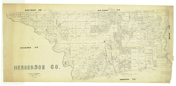

Print $40.00
- Digital $50.00
Henderson Co.
1887
-
Size
29.4 x 60.1 inches
-
Map/Doc
4977
-
Creation Date
1887
Henderson County
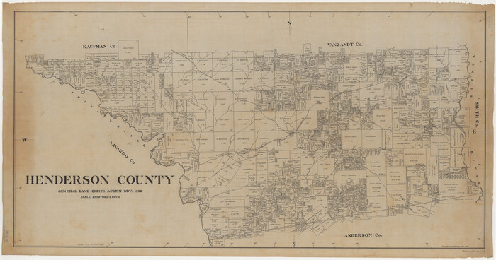

Print $40.00
- Digital $50.00
Henderson County
1922
-
Size
33.3 x 62.4 inches
-
Map/Doc
1854
-
Creation Date
1922
Henderson County
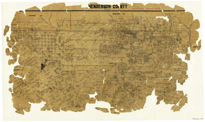

Print $20.00
- Digital $50.00
Henderson County
1856
-
Size
17.9 x 29.2 inches
-
Map/Doc
3664
-
Creation Date
1856
Henderson County
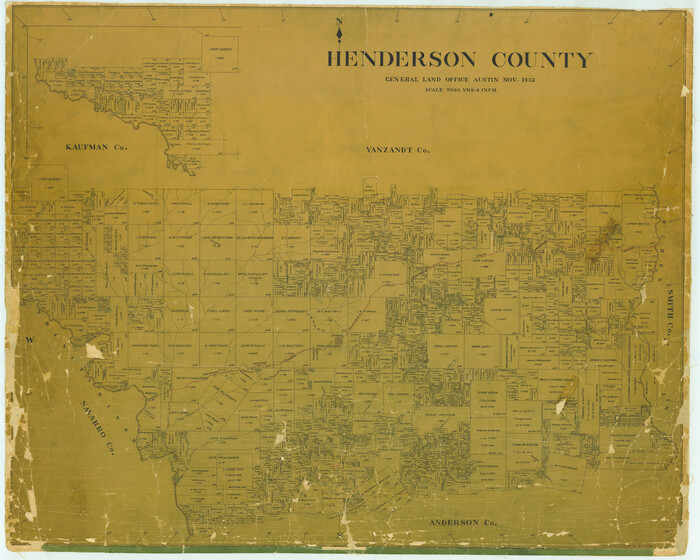

Print $40.00
- Digital $50.00
Henderson County
1922
-
Size
39.3 x 49.1 inches
-
Map/Doc
4683
-
Creation Date
1922
Henderson County
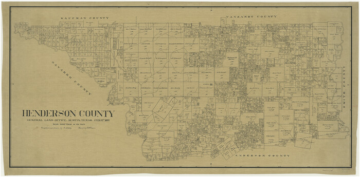

Print $40.00
- Digital $50.00
Henderson County
1897
-
Size
30.2 x 60.8 inches
-
Map/Doc
66859
-
Creation Date
1897
Henderson County


Print $40.00
- Digital $50.00
Henderson County
1922
-
Size
33.0 x 62.7 inches
-
Map/Doc
66861
-
Creation Date
1922
Henderson County
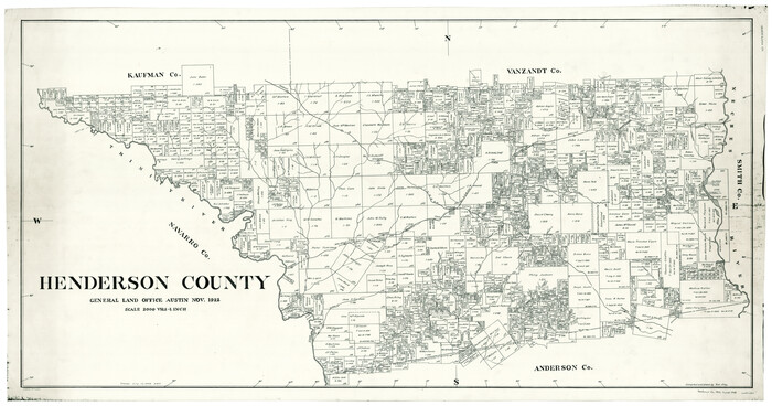

Print $40.00
- Digital $50.00
Henderson County
1922
-
Size
32.9 x 62.6 inches
-
Map/Doc
66862
-
Creation Date
1922
Henderson County
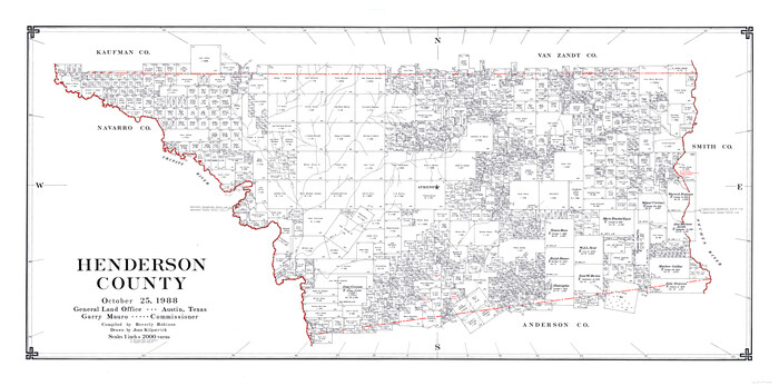

Print $40.00
- Digital $50.00
Henderson County
1988
-
Size
34.6 x 68.7 inches
-
Map/Doc
73178
-
Creation Date
1988
Henderson County


Print $40.00
- Digital $50.00
Henderson County
1988
-
Size
30.8 x 63.0 inches
-
Map/Doc
77310
-
Creation Date
1988
Henderson County


Print $40.00
- Digital $50.00
Henderson County
1988
-
Size
35.3 x 69.7 inches
-
Map/Doc
95528
-
Creation Date
1988
Henderson County Boundary File 2


Print $12.00
- Digital $50.00
Henderson County Boundary File 2
-
Size
10.6 x 8.2 inches
-
Map/Doc
54650
Henderson County Boundary File 2a


Print $12.00
- Digital $50.00
Henderson County Boundary File 2a
-
Size
14.2 x 8.8 inches
-
Map/Doc
54656
