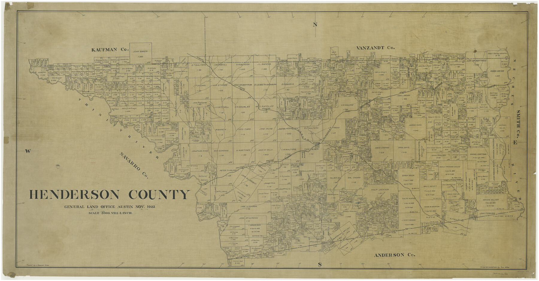
Henderson County
-
Map/Doc
66861
-
Collection
General Map Collection
-
Object Dates
1922 (Creation Date)
-
People and Organizations
Texas General Land Office (Publisher)
Tom G. Atlee (Compiler)
Tom G. Atlee (Draftsman)
-
Counties
Henderson
-
Subjects
County
-
Height x Width
33.0 x 62.7 inches
83.8 x 159.3 cm
-
Comments
Traced by J. Bascom Giles.
Part of: General Map Collection
Travis County Sketch File 16

Print $4.00
- Digital $50.00
Travis County Sketch File 16
Size 12.7 x 8.4 inches
Map/Doc 38312
Pecos County Rolled Sketch DK4

Print $20.00
- Digital $50.00
Pecos County Rolled Sketch DK4
Size 41.2 x 30.2 inches
Map/Doc 7309
Denton County Sketch File 14

Print $10.00
- Digital $50.00
Denton County Sketch File 14
1855
Size 8.6 x 10.0 inches
Map/Doc 20719
Sterling County Working Sketch Graphic Index

Print $20.00
- Digital $50.00
Sterling County Working Sketch Graphic Index
1971
Size 45.5 x 36.3 inches
Map/Doc 76703
Jasper County Sketch File 5

Print $4.00
- Digital $50.00
Jasper County Sketch File 5
Size 8.4 x 12.1 inches
Map/Doc 27770
Flight Mission No. DQN-6K, Frame 74, Calhoun County

Print $20.00
- Digital $50.00
Flight Mission No. DQN-6K, Frame 74, Calhoun County
1953
Size 18.5 x 22.2 inches
Map/Doc 84446
Intracoastal Waterway - Laguna Madre - Chubby Island to Stover Point including the Arroyo Colorado, Texas

Print $20.00
- Digital $50.00
Intracoastal Waterway - Laguna Madre - Chubby Island to Stover Point including the Arroyo Colorado, Texas
1976
Size 15.6 x 43.8 inches
Map/Doc 75900
Runnels County Working Sketch 19

Print $20.00
- Digital $50.00
Runnels County Working Sketch 19
1950
Size 24.9 x 30.8 inches
Map/Doc 63615
Val Verde County Working Sketch 34

Print $20.00
- Digital $50.00
Val Verde County Working Sketch 34
1940
Size 33.7 x 27.9 inches
Map/Doc 72169
Crosby County Sketch File 13 and 14

Print $44.00
- Digital $50.00
Crosby County Sketch File 13 and 14
1904
Size 9.0 x 8.6 inches
Map/Doc 20058
Hopkins County Sketch File 15

Print $4.00
- Digital $50.00
Hopkins County Sketch File 15
Size 10.6 x 7.3 inches
Map/Doc 26711
Randall County Boundary File 5a

Print $8.00
- Digital $50.00
Randall County Boundary File 5a
Size 14.3 x 8.8 inches
Map/Doc 58141
You may also like
Cherokee County Working Sketch 27

Print $40.00
- Digital $50.00
Cherokee County Working Sketch 27
1982
Size 42.9 x 59.1 inches
Map/Doc 67982
Mason County Sketch File 6

Print $4.00
- Digital $50.00
Mason County Sketch File 6
1875
Size 8.8 x 14.5 inches
Map/Doc 30687
Kendall County Working Sketch 29

Print $20.00
- Digital $50.00
Kendall County Working Sketch 29
2025
Map/Doc 97408
Farmer Subdivision of Wm. Baker Survey

Print $20.00
- Digital $50.00
Farmer Subdivision of Wm. Baker Survey
Size 16.1 x 15.5 inches
Map/Doc 90122
Outer Continental Shelf Leasing Maps (Texas Offshore Operations)

Print $20.00
- Digital $50.00
Outer Continental Shelf Leasing Maps (Texas Offshore Operations)
Size 12.7 x 15.2 inches
Map/Doc 76169
Working Sketch Bastrop County

Print $20.00
- Digital $50.00
Working Sketch Bastrop County
1923
Size 17.0 x 13.1 inches
Map/Doc 90145
Flight Mission No. DQO-8K, Frame 73, Galveston County

Print $20.00
- Digital $50.00
Flight Mission No. DQO-8K, Frame 73, Galveston County
1952
Size 18.6 x 22.4 inches
Map/Doc 85177
[Sutton, Hale & Ector Co. School Land]
![90103, [Sutton, Hale & Ector Co. School Land], Twichell Survey Records](https://historictexasmaps.com/wmedia_w700/maps/90103-1.tif.jpg)
Print $3.00
- Digital $50.00
[Sutton, Hale & Ector Co. School Land]
Size 9.8 x 16.7 inches
Map/Doc 90103
New Map of Texas prepared and published for the Bureau of Immigration of the State of Texas

Print $20.00
- Digital $50.00
New Map of Texas prepared and published for the Bureau of Immigration of the State of Texas
1875
Size 15.8 x 18.3 inches
Map/Doc 93625
Bastrop County

Print $20.00
- Digital $50.00
Bastrop County
1879
Size 27.1 x 26.1 inches
Map/Doc 692
Stephens County Working Sketch 30

Print $20.00
- Digital $50.00
Stephens County Working Sketch 30
1977
Size 26.4 x 15.7 inches
Map/Doc 63973
Matagorda County Working Sketch 25

Print $20.00
- Digital $50.00
Matagorda County Working Sketch 25
1975
Size 20.1 x 27.8 inches
Map/Doc 70883