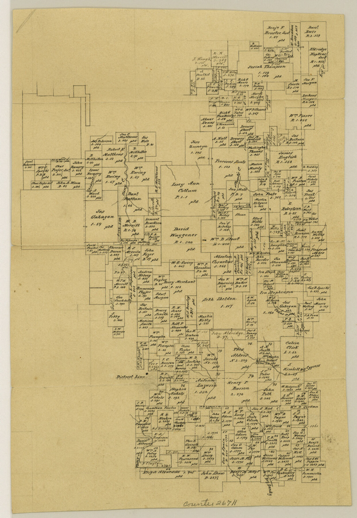
Hopkins County Sketch File 15
[Office sketch in southeast corner of county]
-
Map/Doc
26711
-
Collection
General Map Collection
-
People and Organizations
Pressler (Surveyor/Engineer)
-
Counties
Hopkins Franklin Wood
-
Subjects
Surveying Sketch File
-
Height x Width
10.6 x 7.3 inches
26.9 x 18.5 cm
-
Medium
paper, manuscript
-
Features
Cany Creek
Richland Creek
Big Creek
Stout's Creek
Cedar Creek
Big Cypress Creek
Big Sandy Creek
Part of: General Map Collection
Old Miscellaneous File 36

Print $4.00
- Digital $50.00
Old Miscellaneous File 36
1891
Size 11.3 x 8.8 inches
Map/Doc 75759
Galveston Island

Print $20.00
- Digital $50.00
Galveston Island
1837
Size 24.1 x 37.2 inches
Map/Doc 2009
Sam Street's Map of Dallas County, Texas

Sam Street's Map of Dallas County, Texas
1900
Size 32.1 x 28.5 inches
Map/Doc 76173
Cameron County Sketch File 7

Print $146.00
- Digital $50.00
Cameron County Sketch File 7
1980
Size 14.3 x 8.7 inches
Map/Doc 17042
Brewster County Sketch File NS-3

Print $40.00
- Digital $50.00
Brewster County Sketch File NS-3
1913
Size 30.9 x 15.6 inches
Map/Doc 10986


Jim Hogg County Rolled Sketch 4

Print $20.00
- Digital $50.00
Jim Hogg County Rolled Sketch 4
Size 17.0 x 30.5 inches
Map/Doc 6440
Plot of a survey made to connect the surveys in Jackson County with those heretofore made in connection with Colorado County

Print $2.00
- Digital $50.00
Plot of a survey made to connect the surveys in Jackson County with those heretofore made in connection with Colorado County
1847
Size 12.8 x 7.7 inches
Map/Doc 188
Hutchinson County Sketch File 52

Print $14.00
- Digital $50.00
Hutchinson County Sketch File 52
1992
Size 14.2 x 8.8 inches
Map/Doc 27449
Burnet County Sketch File 39

Print $40.00
- Digital $50.00
Burnet County Sketch File 39
Size 9.6 x 24.1 inches
Map/Doc 11028
Frio County Rolled Sketch 18

Print $20.00
- Digital $50.00
Frio County Rolled Sketch 18
1955
Size 41.2 x 43.4 inches
Map/Doc 8908
You may also like

Jeff Davis County Working Sketch 29

Print $20.00
- Digital $50.00
Jeff Davis County Working Sketch 29
1967
Size 25.8 x 41.6 inches
Map/Doc 66524
[Sketch for Mineral Application 26501 - Sabine River, T. A. Oldhausen]
![2834, [Sketch for Mineral Application 26501 - Sabine River, T. A. Oldhausen], General Map Collection](https://historictexasmaps.com/wmedia_w700/maps/2834.tif.jpg)
Print $20.00
- Digital $50.00
[Sketch for Mineral Application 26501 - Sabine River, T. A. Oldhausen]
1931
Size 23.9 x 36.0 inches
Map/Doc 2834
Crane County Sketch File 20

Print $8.00
- Digital $50.00
Crane County Sketch File 20
1928
Size 11.0 x 8.5 inches
Map/Doc 19586
Orange County Sketch File 10

Print $4.00
- Digital $50.00
Orange County Sketch File 10
1876
Size 8.4 x 12.8 inches
Map/Doc 33317
Fort Bend County Sketch File 3

Print $4.00
- Digital $50.00
Fort Bend County Sketch File 3
Size 12.8 x 8.1 inches
Map/Doc 22880
D. B. Gardner vs. Mrs. Clara C. Starr

Print $20.00
- Digital $50.00
D. B. Gardner vs. Mrs. Clara C. Starr
Size 16.3 x 28.5 inches
Map/Doc 91044
Travis County Rolled Sketch 55

Print $40.00
- Digital $50.00
Travis County Rolled Sketch 55
Size 43.1 x 50.5 inches
Map/Doc 10020
[Map of Texas and Pacific Blocks from Brazos River westward through Palo Pinto, Stephens, Shackelford, Jones, Callahan, Taylor, Fisher, Nolan and Mitchell Counties]
![64510, [Map of Texas and Pacific Blocks from Brazos River westward through Palo Pinto, Stephens, Shackelford, Jones, Callahan, Taylor, Fisher, Nolan and Mitchell Counties], General Map Collection](https://historictexasmaps.com/wmedia_w700/maps/64510-1.tif.jpg)
Print $20.00
- Digital $50.00
[Map of Texas and Pacific Blocks from Brazos River westward through Palo Pinto, Stephens, Shackelford, Jones, Callahan, Taylor, Fisher, Nolan and Mitchell Counties]
Size 35.5 x 19.0 inches
Map/Doc 64510
Motley County

Print $20.00
- Digital $50.00
Motley County
1966
Size 41.2 x 32.1 inches
Map/Doc 77380
Navarro County Sketch File 15

Print $4.00
- Digital $50.00
Navarro County Sketch File 15
1878
Size 7.6 x 10.0 inches
Map/Doc 32328
Crockett County Sketch File 55

Print $6.00
- Digital $50.00
Crockett County Sketch File 55
1923
Size 11.2 x 8.5 inches
Map/Doc 19829