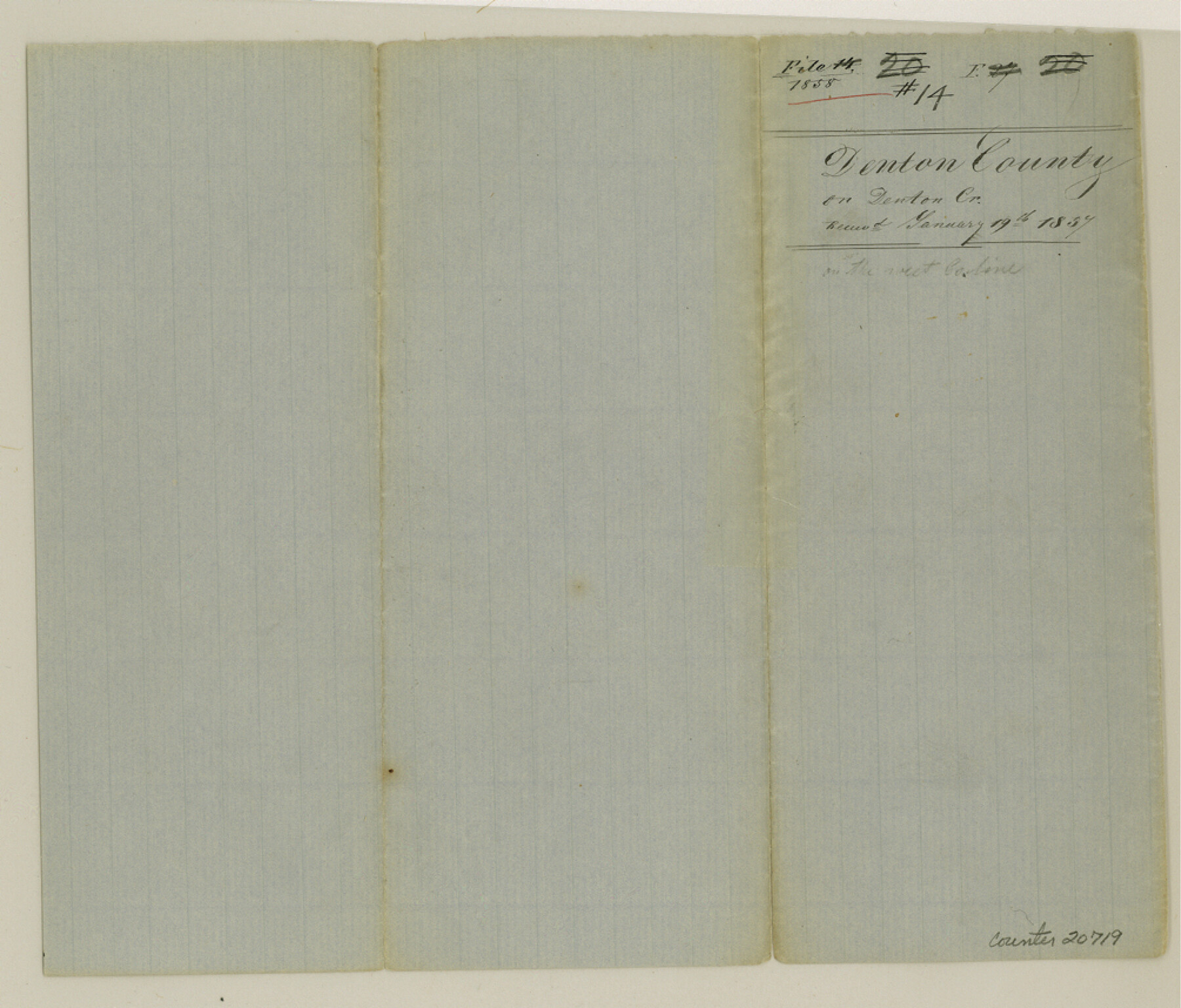
Denton County Sketch File 14
[Sketch on Denton Creek]
-
Map/Doc
20719
-
Collection
General Map Collection
-
Object Dates
1855/7/20 (Creation Date)
1857/1/19 (File Date)
-
People and Organizations
R.W. Allen (Surveyor/Engineer)
-
Counties
Denton
-
Subjects
Surveying Sketch File
-
Height x Width
8.6 x 10.0 inches
21.8 x 25.4 cm
-
Medium
multi-page, multi-format
-
Features
Denton Fork of Trinity River
Clear Fork of Trinity River
Part of: General Map Collection
Kaufman County Sketch File A

Print $4.00
- Digital $50.00
Kaufman County Sketch File A
1879
Size 14.1 x 8.8 inches
Map/Doc 28630
Armstrong County Rolled Sketch B1

Print $20.00
- Digital $50.00
Armstrong County Rolled Sketch B1
1903
Size 25.8 x 37.8 inches
Map/Doc 5085
Hutchinson County Sketch File 41

Print $14.00
- Digital $50.00
Hutchinson County Sketch File 41
1955
Size 9.8 x 8.5 inches
Map/Doc 27298
Freestone County Working Sketch 26

Print $20.00
- Digital $50.00
Freestone County Working Sketch 26
1907
Size 27.7 x 30.3 inches
Map/Doc 69268
Kimble County Working Sketch 54

Print $20.00
- Digital $50.00
Kimble County Working Sketch 54
1954
Size 32.3 x 23.1 inches
Map/Doc 70122
La Salle County Sketch File 9

Print $4.00
- Digital $50.00
La Salle County Sketch File 9
Size 6.3 x 8.3 inches
Map/Doc 29458
Shelby County Rolled Sketch 8

Print $20.00
- Digital $50.00
Shelby County Rolled Sketch 8
Size 40.4 x 45.5 inches
Map/Doc 9923
Medina County Working Sketch 26

Print $20.00
- Digital $50.00
Medina County Working Sketch 26
1985
Size 30.6 x 30.5 inches
Map/Doc 70941
Harris County NRC Article 33.136 Sketch 6

Print $21.00
- Digital $50.00
Harris County NRC Article 33.136 Sketch 6
2003
Size 23.1 x 34.8 inches
Map/Doc 78664
Flight Mission No. DCL-7C, Frame 113, Kenedy County

Print $20.00
- Digital $50.00
Flight Mission No. DCL-7C, Frame 113, Kenedy County
1943
Size 18.5 x 22.2 inches
Map/Doc 86078
Flight Mission No. DCL-7C, Frame 62, Kenedy County

Print $20.00
- Digital $50.00
Flight Mission No. DCL-7C, Frame 62, Kenedy County
1943
Size 15.4 x 15.3 inches
Map/Doc 86050
Cooke County Sketch File 31

Print $22.00
- Digital $50.00
Cooke County Sketch File 31
1873
Size 8.0 x 12.9 inches
Map/Doc 19293
You may also like
Edwards County Working Sketch 92

Print $20.00
- Digital $50.00
Edwards County Working Sketch 92
1966
Size 31.8 x 47.5 inches
Map/Doc 68968
Bailey County Sketch File 19

Print $8.00
- Digital $50.00
Bailey County Sketch File 19
1882
Size 13.2 x 8.4 inches
Map/Doc 13987
Hood County Working Sketch 21

Print $20.00
- Digital $50.00
Hood County Working Sketch 21
1991
Size 28.4 x 24.9 inches
Map/Doc 66215
Austin County Sketch File 2

Print $4.00
- Digital $50.00
Austin County Sketch File 2
Size 8.2 x 6.3 inches
Map/Doc 13855
Uvalde County Rolled Sketch 7

Print $20.00
- Digital $50.00
Uvalde County Rolled Sketch 7
1946
Size 23.8 x 15.7 inches
Map/Doc 8092
Flight Mission No. DQO-11K, Frame 22, Galveston County

Print $20.00
- Digital $50.00
Flight Mission No. DQO-11K, Frame 22, Galveston County
1952
Size 18.8 x 22.5 inches
Map/Doc 85219
United States - Gulf Coast - Galveston to Rio Grande

Print $20.00
- Digital $50.00
United States - Gulf Coast - Galveston to Rio Grande
1919
Size 27.0 x 18.2 inches
Map/Doc 72748
Reagan County Rolled Sketch 11

Print $20.00
- Digital $50.00
Reagan County Rolled Sketch 11
1931
Size 20.2 x 39.3 inches
Map/Doc 7439
Township No. 2 South Range No. 21 West of the Indian Meridian

Print $20.00
- Digital $50.00
Township No. 2 South Range No. 21 West of the Indian Meridian
1875
Size 19.3 x 24.4 inches
Map/Doc 75177
[Portion of Panola Judicial District]
![78365, [Portion of Panola Judicial District], General Map Collection](https://historictexasmaps.com/wmedia_w700/maps/78365.tif.jpg)
Print $3.00
- Digital $50.00
[Portion of Panola Judicial District]
1841
Size 17.1 x 10.0 inches
Map/Doc 78365
Caldwell County

Print $20.00
- Digital $50.00
Caldwell County
1896
Size 42.7 x 33.3 inches
Map/Doc 93039
Milam County Working Sketch 9

Print $20.00
- Digital $50.00
Milam County Working Sketch 9
1976
Size 27.2 x 22.7 inches
Map/Doc 71024