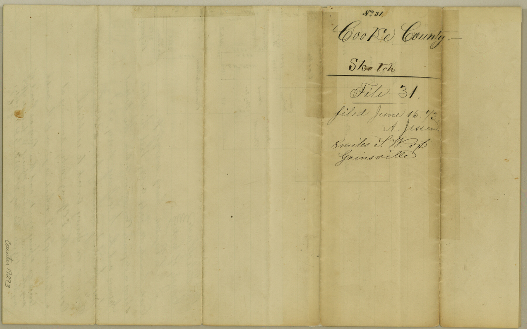
Cooke County Sketch File 31
[Sketch southwest of Gainesville]
-
Map/Doc
19293
-
Collection
General Map Collection
-
Object Dates
1873/5/31 (Creation Date)
1873/6/15 (File Date)
-
People and Organizations
G.H. Ragsdale (Surveyor/Engineer)
-
Counties
Cooke
-
Subjects
Surveying Sketch File
-
Height x Width
8.0 x 12.9 inches
20.3 x 32.8 cm
-
Medium
paper, manuscript
-
Scale
1" = 2000 varas
Part of: General Map Collection
Reagan County Rolled Sketch FF

Print $20.00
- Digital $50.00
Reagan County Rolled Sketch FF
Size 35.0 x 17.8 inches
Map/Doc 7451
Culberson County Sketch File 38

Print $20.00
- Digital $50.00
Culberson County Sketch File 38
1964
Size 21.7 x 18.6 inches
Map/Doc 11274
Map of Carson County

Print $20.00
- Digital $50.00
Map of Carson County
1898
Size 40.7 x 37.6 inches
Map/Doc 4904
Map of Nacogdoches County

Print $40.00
- Digital $50.00
Map of Nacogdoches County
1839
Size 81.0 x 38.5 inches
Map/Doc 93375
Liberty County Working Sketch 73

Print $40.00
- Digital $50.00
Liberty County Working Sketch 73
1978
Size 25.5 x 61.6 inches
Map/Doc 70533
Bastrop County

Print $20.00
- Digital $50.00
Bastrop County
1879
Size 21.5 x 19.5 inches
Map/Doc 3277
Hood County Sketch File 2

Print $4.00
- Digital $50.00
Hood County Sketch File 2
Size 9.7 x 8.2 inches
Map/Doc 26571
Flight Mission No. CRK-3P, Frame 68, Refugio County

Print $20.00
- Digital $50.00
Flight Mission No. CRK-3P, Frame 68, Refugio County
1956
Size 18.7 x 22.5 inches
Map/Doc 86910
Flight Mission No. DAG-18K, Frame 188, Matagorda County

Print $20.00
- Digital $50.00
Flight Mission No. DAG-18K, Frame 188, Matagorda County
1952
Size 18.6 x 22.3 inches
Map/Doc 86380
Bee County Working Sketch 3

Print $20.00
- Digital $50.00
Bee County Working Sketch 3
1915
Size 22.8 x 20.3 inches
Map/Doc 67253
Map of Location of the Pecos & Northern Texas Railway from Station 7879+36 to Station 8010+08 = 2.48 Miles through Castro County, Texas

Print $20.00
- Digital $50.00
Map of Location of the Pecos & Northern Texas Railway from Station 7879+36 to Station 8010+08 = 2.48 Miles through Castro County, Texas
1898
Size 14.1 x 25.3 inches
Map/Doc 64060
Comanche County Sketch File 23

Print $4.00
- Digital $50.00
Comanche County Sketch File 23
Size 8.3 x 7.5 inches
Map/Doc 19111
You may also like
[Sketch for Mineral Application 11318 - Arenosa Creek, S. G. Drushel]
![65647, [Sketch for Mineral Application 11318 - Arenosa Creek, S. G. Drushel], General Map Collection](https://historictexasmaps.com/wmedia_w700/maps/65647-1.tif.jpg)
Print $40.00
- Digital $50.00
[Sketch for Mineral Application 11318 - Arenosa Creek, S. G. Drushel]
Size 78.9 x 24.8 inches
Map/Doc 65647
Presidio County Sketch File 63

Print $4.00
- Digital $50.00
Presidio County Sketch File 63
1939
Size 20.7 x 22.3 inches
Map/Doc 11718
Jack County Working Sketch 17

Print $20.00
- Digital $50.00
Jack County Working Sketch 17
1982
Size 25.9 x 27.4 inches
Map/Doc 66443
Map of Cherokee County

Print $20.00
- Digital $50.00
Map of Cherokee County
1871
Size 25.0 x 17.6 inches
Map/Doc 3388
Map of the Fort Worth & Denver City Railway, Wichita County, Texas

Print $40.00
- Digital $50.00
Map of the Fort Worth & Denver City Railway, Wichita County, Texas
1885
Size 25.2 x 122.4 inches
Map/Doc 64454
Kinney County Working Sketch 18

Print $40.00
- Digital $50.00
Kinney County Working Sketch 18
1948
Size 56.7 x 40.5 inches
Map/Doc 70200
Grayson County Sketch File 14

Print $23.00
- Digital $50.00
Grayson County Sketch File 14
1873
Size 14.0 x 12.0 inches
Map/Doc 24482
Grayson County Rolled Sketch 1

Print $20.00
- Digital $50.00
Grayson County Rolled Sketch 1
1944
Size 43.4 x 29.0 inches
Map/Doc 6029
Pecos County Rolled Sketch 102

Print $20.00
- Digital $50.00
Pecos County Rolled Sketch 102
Size 28.9 x 26.4 inches
Map/Doc 7250
Garza County Working Sketch 12

Print $20.00
- Digital $50.00
Garza County Working Sketch 12
1956
Size 31.9 x 24.4 inches
Map/Doc 63159
Hutchinson County Working Sketch 14

Print $20.00
- Digital $50.00
Hutchinson County Working Sketch 14
1930
Size 18.4 x 25.8 inches
Map/Doc 66372
Presidio County Working Sketch 40

Print $20.00
- Digital $50.00
Presidio County Working Sketch 40
1948
Size 33.2 x 26.2 inches
Map/Doc 71717