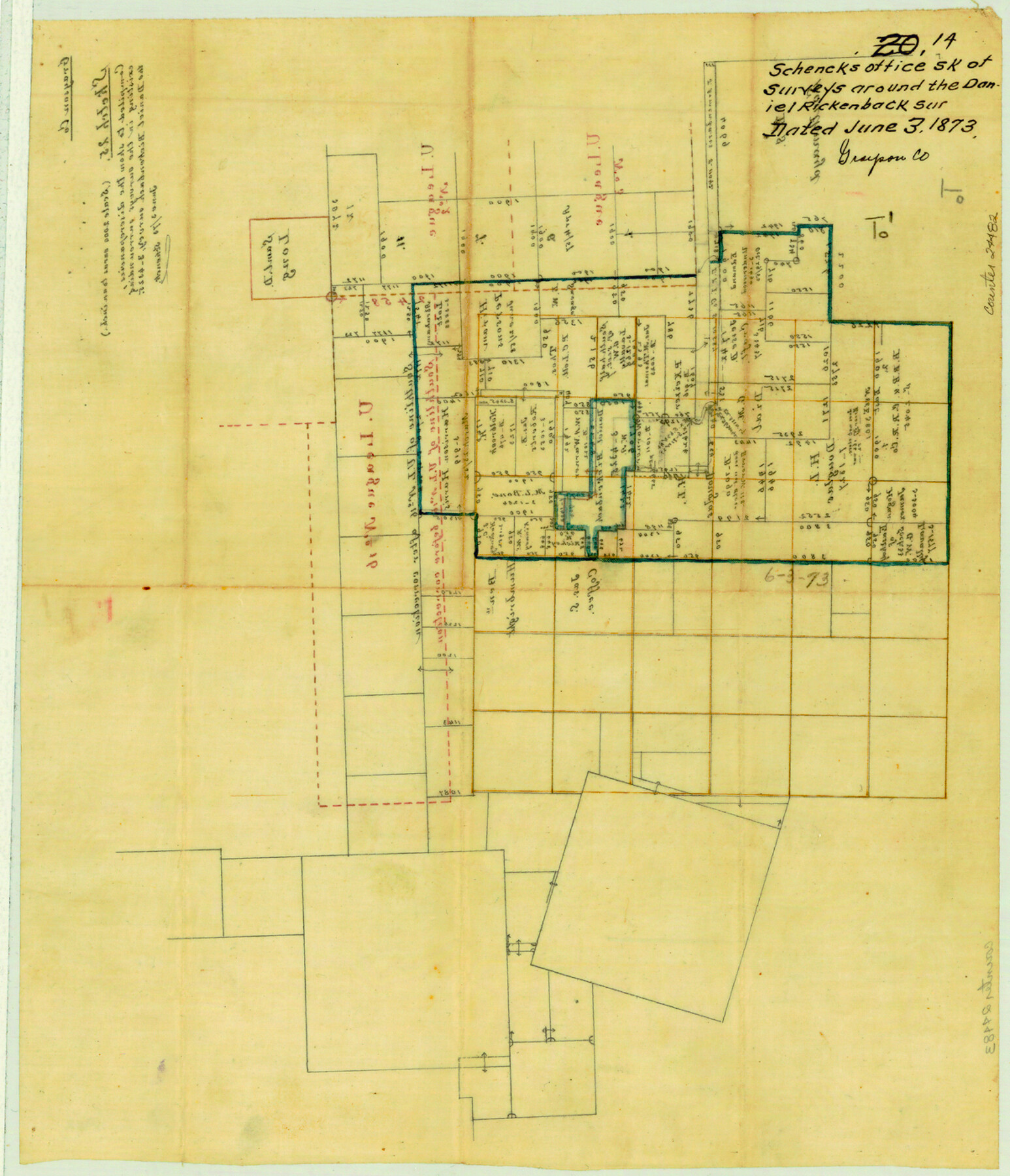
Grayson County Sketch File 14
[Office sketch of surveys around the Daniel Rickenback survey]
-
Map/Doc
24482
-
Collection
General Map Collection
-
Object Dates
1873/6/3 (Creation Date)
1873/6/3 (File Date)
-
People and Organizations
Schenck (Surveyor/Engineer)
-
Counties
Grayson
-
Subjects
Surveying Sketch File
-
Height x Width
14.0 x 12.0 inches
35.6 x 30.5 cm
-
Medium
paper, manuscript
-
Scale
1:2000
Part of: General Map Collection
Amistad International Reservoir on Rio Grande Key Sheet

Print $20.00
- Digital $50.00
Amistad International Reservoir on Rio Grande Key Sheet
1960
Size 13.0 x 32.4 inches
Map/Doc 73345
Hardin County Sketch File 6

Print $4.00
- Digital $50.00
Hardin County Sketch File 6
Size 8.0 x 12.7 inches
Map/Doc 25097
Coast Chart No. 210 - Aransas Pass and Corpus Christi Bay with the coast to latitude 27° 12', Texas

Print $20.00
- Digital $50.00
Coast Chart No. 210 - Aransas Pass and Corpus Christi Bay with the coast to latitude 27° 12', Texas
1887
Size 30.4 x 24.0 inches
Map/Doc 73444
Tarrant County State Real Property Sketch 1

Print $60.00
- Digital $50.00
Tarrant County State Real Property Sketch 1
2007
Size 24.5 x 35.3 inches
Map/Doc 88666
Johnson County State of Texas

Print $20.00
- Digital $50.00
Johnson County State of Texas
1888
Size 30.2 x 35.3 inches
Map/Doc 3733
Flight Mission No. DQN-2K, Frame 66, Calhoun County

Print $20.00
- Digital $50.00
Flight Mission No. DQN-2K, Frame 66, Calhoun County
1953
Size 18.9 x 22.3 inches
Map/Doc 84258
Tom Green County Boundary File 1

Print $48.00
- Digital $50.00
Tom Green County Boundary File 1
Size 8.8 x 3.8 inches
Map/Doc 59329
Cameron County Aerial Photograph Index Sheet 6

Print $20.00
- Digital $50.00
Cameron County Aerial Photograph Index Sheet 6
1940
Size 20.3 x 24.3 inches
Map/Doc 83682
Rockwall County Boundary File 3a

Print $6.00
- Digital $50.00
Rockwall County Boundary File 3a
Size 6.2 x 8.7 inches
Map/Doc 58393
Refugio County Sketch File 16

Print $4.00
- Digital $50.00
Refugio County Sketch File 16
Size 7.1 x 8.2 inches
Map/Doc 35270
Briscoe County Sketch File 14a

Print $6.00
- Digital $50.00
Briscoe County Sketch File 14a
Size 14.3 x 8.6 inches
Map/Doc 16519
Young County Rolled Sketch 11

Print $20.00
- Digital $50.00
Young County Rolled Sketch 11
Size 14.9 x 23.1 inches
Map/Doc 8299
You may also like
Flight Mission No. CRC-3R, Frame 14, Chambers County

Print $20.00
- Digital $50.00
Flight Mission No. CRC-3R, Frame 14, Chambers County
1956
Size 18.6 x 22.3 inches
Map/Doc 84788
Midland County Working Sketch 3

Print $20.00
- Digital $50.00
Midland County Working Sketch 3
Size 19.5 x 35.2 inches
Map/Doc 70983
Reagan County Sketch File 23

Print $24.00
- Digital $50.00
Reagan County Sketch File 23
1939
Size 11.3 x 8.8 inches
Map/Doc 35016
Detail Sketch of A.B. Robertson's Ranch and J.W. James' Ranch situated in Garza and Crosby Counties, Texas

Print $40.00
- Digital $50.00
Detail Sketch of A.B. Robertson's Ranch and J.W. James' Ranch situated in Garza and Crosby Counties, Texas
Size 51.7 x 34.3 inches
Map/Doc 89754
[Sketch Showing G. H. & H. R.R. Co. Block 3B and A. B. & M. Block M16, Hutchinson County, Texas]
![75813, [Sketch Showing G. H. & H. R.R. Co. Block 3B and A. B. & M. Block M16, Hutchinson County, Texas], Maddox Collection](https://historictexasmaps.com/wmedia_w700/maps/75813.tif.jpg)
Print $20.00
- Digital $50.00
[Sketch Showing G. H. & H. R.R. Co. Block 3B and A. B. & M. Block M16, Hutchinson County, Texas]
Size 20.7 x 21.5 inches
Map/Doc 75813
Hockley County Sketch File 6

Print $20.00
- Digital $50.00
Hockley County Sketch File 6
Size 24.9 x 33.0 inches
Map/Doc 11769
Jefferson County Working Sketch 6

Print $20.00
- Digital $50.00
Jefferson County Working Sketch 6
1930
Size 34.7 x 34.8 inches
Map/Doc 66549
Hutchinson County Rolled Sketch 43

Print $40.00
- Digital $50.00
Hutchinson County Rolled Sketch 43
1992
Size 40.6 x 49.9 inches
Map/Doc 6315
Flight Mission No. CRK-8P, Frame 119, Refugio County

Print $20.00
- Digital $50.00
Flight Mission No. CRK-8P, Frame 119, Refugio County
1956
Size 18.3 x 22.0 inches
Map/Doc 86974
Tom Green County Sketch File 71

Print $20.00
- Digital $50.00
Tom Green County Sketch File 71
1948
Size 17.5 x 20.6 inches
Map/Doc 12447
Childress County Boundary File 3

Print $48.00
- Digital $50.00
Childress County Boundary File 3
Size 9.4 x 4.5 inches
Map/Doc 51330
Houston County Sketch File 33

Print $20.00
- Digital $50.00
Houston County Sketch File 33
1894
Size 16.9 x 18.4 inches
Map/Doc 11790