
Map of Grayson County
1871

Cooke County Sketch File 3a

Grayson County Sketch File 3a
1855
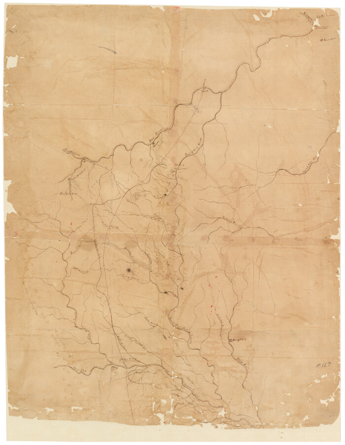
[Sketch of Col. Cooke's Military Road expedition from Red River to Austin]

Map of Fannin County
1845

University and College Lands
1841
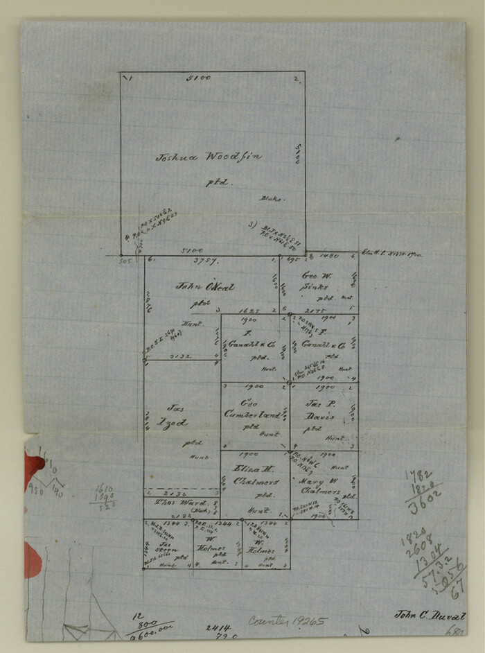
Cooke County Sketch File 21

University Land in Grayson County in Two Parts

Map of University Land part of Fifty League Grant Act of 1839
1905

Grayson County Sketch File 1
1854
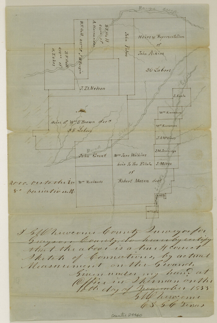
Grayson County Sketch File 3
1855
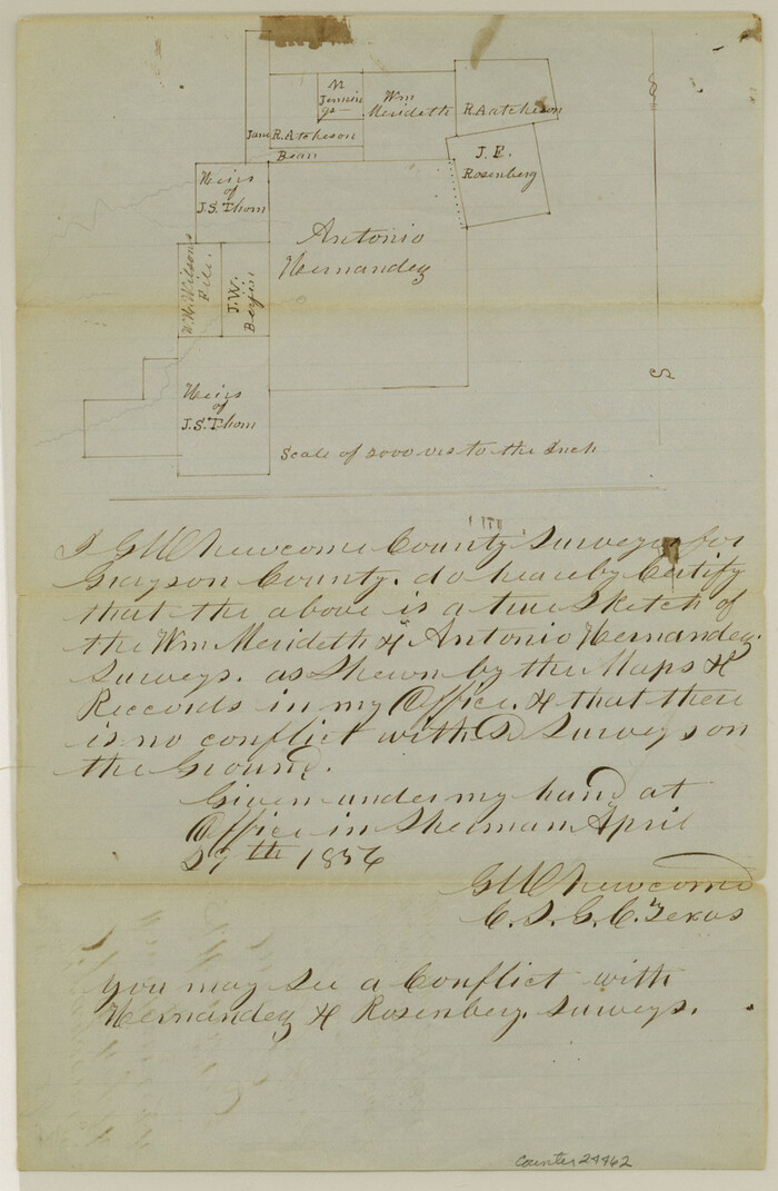
Grayson County Sketch File 4
1856
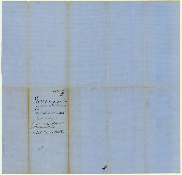
Grayson County Sketch File 5
1856

Grayson County Sketch File 6
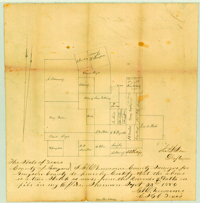
Grayson County Sketch File 7
1856

Grayson County Sketch File 9
1857

Grayson County Sketch File 10
1851

Grayson County Sketch File 11
1857

Grayson County Sketch File 12
1853
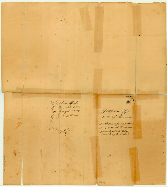
Grayson County Sketch File 13
1853
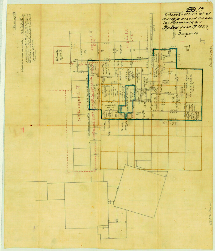
Grayson County Sketch File 14
1873
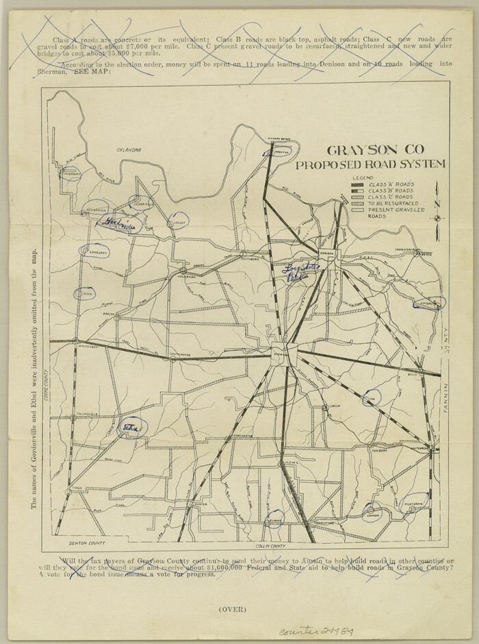
Grayson County Sketch File 16
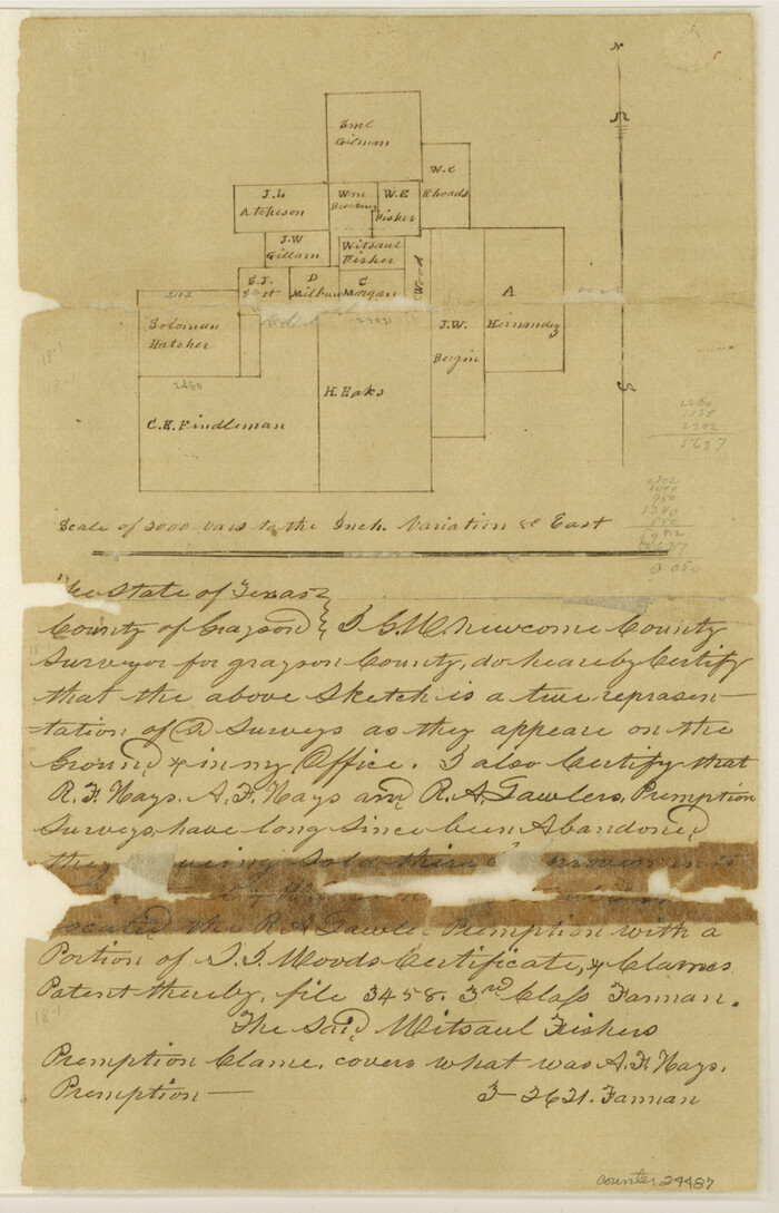
Grayson County Sketch File 18
1859
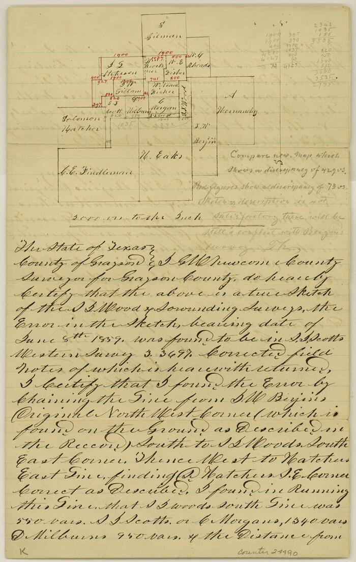
Grayson County Sketch File 19
1860
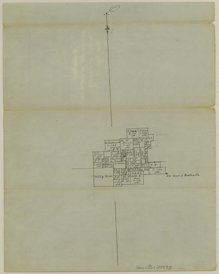
Grayson County Sketch File 20
1861

Grayson County Sketch File 21
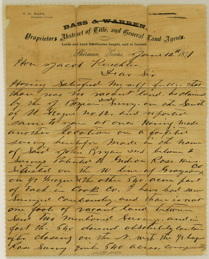
Grayson County Sketch File 22
1871
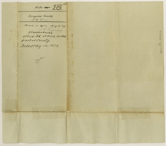
Grayson County Sketch File 23
1872

Map of Grayson County
1871
-
Size
19.5 x 17.8 inches
-
Map/Doc
1088
-
Creation Date
1871

Cooke County Sketch File 3a
-
Size
18.8 x 10.4 inches
-
Map/Doc
11170

Grayson County Sketch File 3a
1855
-
Size
19.6 x 25.5 inches
-
Map/Doc
11580
-
Creation Date
1855
![166, [Sketch of Col. Cooke's Military Road expedition from Red River to Austin], General Map Collection](https://historictexasmaps.com/wmedia_w700/maps/166.tif.jpg)
[Sketch of Col. Cooke's Military Road expedition from Red River to Austin]
-
Size
29.4 x 22.9 inches
-
Map/Doc
166

Map of Fannin County
1845
-
Size
34.7 x 36.5 inches
-
Map/Doc
16827
-
Creation Date
1845
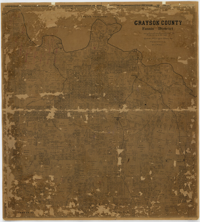
Grayson County
1885
-
Size
39.9 x 35.8 inches
-
Map/Doc
16840
-
Creation Date
1885

University and College Lands
1841
-
Size
21.3 x 27.0 inches
-
Map/Doc
169
-
Creation Date
1841
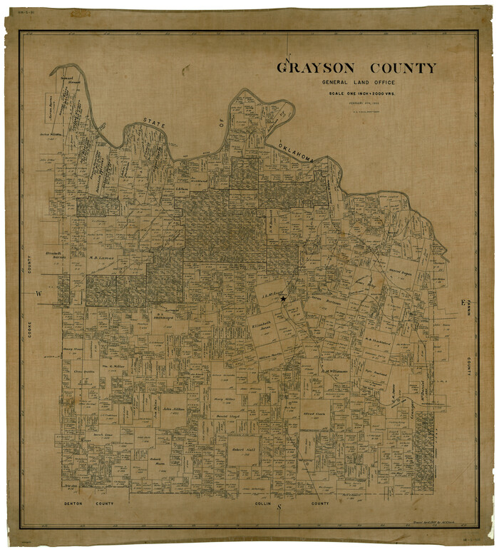
Grayson County
1935
-
Size
45.9 x 41.2 inches
-
Map/Doc
1844
-
Creation Date
1935

Cooke County Sketch File 21
-
Size
9.0 x 6.7 inches
-
Map/Doc
19265

University Land in Grayson County in Two Parts
-
Size
23.9 x 30.4 inches
-
Map/Doc
2429

Map of University Land part of Fifty League Grant Act of 1839
1905
-
Size
40.7 x 28.7 inches
-
Map/Doc
2430
-
Creation Date
1905

Grayson County Sketch File 1
1854
-
Size
8.4 x 3.3 inches
-
Map/Doc
24459
-
Creation Date
1854

Grayson County Sketch File 3
1855
-
Size
12.4 x 8.4 inches
-
Map/Doc
24460
-
Creation Date
1855

Grayson County Sketch File 4
1856
-
Size
12.5 x 8.2 inches
-
Map/Doc
24462
-
Creation Date
1856

Grayson County Sketch File 5
1856
-
Size
13.9 x 14.5 inches
-
Map/Doc
24464
-
Creation Date
1856

Grayson County Sketch File 6
-
Size
12.9 x 8.2 inches
-
Map/Doc
24466

Grayson County Sketch File 7
1856
-
Size
12.3 x 12.1 inches
-
Map/Doc
24470
-
Creation Date
1856

Grayson County Sketch File 9
1857
-
Size
12.1 x 8.1 inches
-
Map/Doc
24472
-
Creation Date
1857

Grayson County Sketch File 10
1851
-
Size
12.1 x 7.9 inches
-
Map/Doc
24474
-
Creation Date
1851

Grayson County Sketch File 11
1857
-
Size
13.0 x 8.0 inches
-
Map/Doc
24476
-
Creation Date
1857

Grayson County Sketch File 12
1853
-
Size
12.8 x 8.4 inches
-
Map/Doc
24478
-
Creation Date
1853

Grayson County Sketch File 13
1853
-
Size
16.2 x 14.4 inches
-
Map/Doc
24480
-
Creation Date
1853

Grayson County Sketch File 14
1873
-
Size
14.0 x 12.0 inches
-
Map/Doc
24482
-
Creation Date
1873

Grayson County Sketch File 16
-
Size
11.3 x 8.4 inches
-
Map/Doc
24484

Grayson County Sketch File 18
1859
-
Size
12.2 x 7.9 inches
-
Map/Doc
24487
-
Creation Date
1859

Grayson County Sketch File 19
1860
-
Size
12.1 x 7.7 inches
-
Map/Doc
24490
-
Creation Date
1860

Grayson County Sketch File 20
1861
-
Size
10.1 x 8.1 inches
-
Map/Doc
24493
-
Creation Date
1861

Grayson County Sketch File 21
-
Size
7.7 x 17.8 inches
-
Map/Doc
24495

Grayson County Sketch File 22
1871
-
Size
10.4 x 8.4 inches
-
Map/Doc
24501
-
Creation Date
1871

Grayson County Sketch File 23
1872
-
Size
9.1 x 10.3 inches
-
Map/Doc
24503
-
Creation Date
1872