Cooke County Sketch File 21

Print $4.00
- Digital $50.00
Cooke County Sketch File 21
Size: 9.0 x 6.7 inches
19265
Cooke County Sketch File 3a

Print $20.00
- Digital $50.00
Cooke County Sketch File 3a
Size: 18.8 x 10.4 inches
11170
Cooke County Working Sketch 21

Print $20.00
- Digital $50.00
Cooke County Working Sketch 21
1959
Size: 35.3 x 30.3 inches
68258
Cooke County Working Sketch 8

Print $20.00
- Digital $50.00
Cooke County Working Sketch 8
1940
Size: 41.5 x 28.1 inches
68245
Denison Dam Quadrangle

Print $20.00
- Digital $50.00
Denison Dam Quadrangle
1999
Size: 35.4 x 23.4 inches
97366
Denison, Grayson County, Texas

Print $20.00
- Digital $50.00
Denison, Grayson County, Texas
1891
Size: 23.7 x 35.7 inches
97032
Denison, Grayson County, Texas, 1891

Print $20.00
Denison, Grayson County, Texas, 1891
1891
Size: 23.9 x 36.4 inches
93480
Denison, Texas, Grayson County 1886

Print $20.00
Denison, Texas, Grayson County 1886
1886
Size: 21.1 x 30.5 inches
93466
Denton County Working Sketch 14

Print $40.00
- Digital $50.00
Denton County Working Sketch 14
1962
Size: 60.5 x 36.3 inches
68619
Dexter Quadrangle

Print $20.00
- Digital $50.00
Dexter Quadrangle
1999
Size: 35.4 x 23.4 inches
97361
English Field Notes of the Spanish Archives - Books BTB, GA, BT, and X

English Field Notes of the Spanish Archives - Books BTB, GA, BT, and X
1835
96554
Falls County Boundary File 1a

Print $56.00
- Digital $50.00
Falls County Boundary File 1a
1888
Size: 14.6 x 9.2 inches
53253
Fannin County Boundary File 1a

Print $40.00
- Digital $50.00
Fannin County Boundary File 1a
1882
Size: 36.5 x 9.5 inches
53279
Fannin County Working Sketch 4

Print $20.00
- Digital $50.00
Fannin County Working Sketch 4
1925
Size: 24.6 x 31.4 inches
69158
Field notes for subdivisions of University Leagues/Surveys in Fannin, Grayson, McLennan, Hunt, Lamar, Collin, and Cooke Counties

Field notes for subdivisions of University Leagues/Surveys in Fannin, Grayson, McLennan, Hunt, Lamar, Collin, and Cooke Counties
81727
General Highway Map, Grayson County, Texas

Print $20.00
General Highway Map, Grayson County, Texas
1940
Size: 24.9 x 18.4 inches
79104
General Highway Map, Grayson County, Texas

Print $20.00
General Highway Map, Grayson County, Texas
1961
Size: 24.6 x 18.1 inches
79485
General Highway Map. Detail of Cities and Towns in Grayson County, Texas [Denison and Sherman]
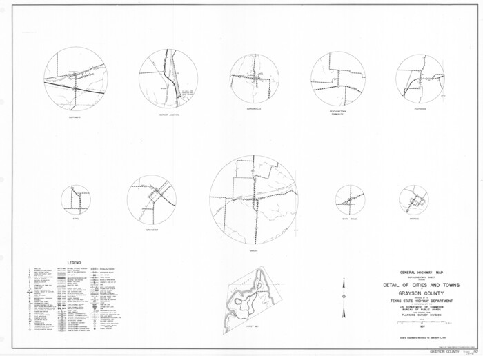
Print $20.00
General Highway Map. Detail of Cities and Towns in Grayson County, Texas [Denison and Sherman]
1961
Size: 18.1 x 24.6 inches
79486
General Highway Map. Detail of Cities and Towns in Grayson County, Texas [Denison and Sherman]
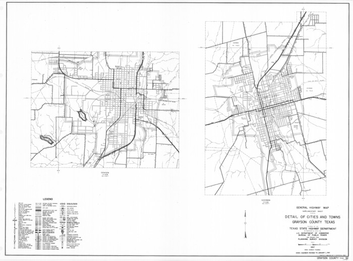
Print $20.00
General Highway Map. Detail of Cities and Towns in Grayson County, Texas [Denison and Sherman]
1961
Size: 18.2 x 24.6 inches
79487
Gordonville Quadrangle

Print $20.00
- Digital $50.00
Gordonville Quadrangle
1999
Size: 35.4 x 23.4 inches
97362
Grayson County Boundary File 1

Print $24.00
- Digital $50.00
Grayson County Boundary File 1
Size: 12.8 x 8.2 inches
53916
Grayson County Boundary File 1a

Print $120.00
- Digital $50.00
Grayson County Boundary File 1a
Size: 69.3 x 11.3 inches
53928
Grayson County Boundary File 2

Print $14.00
- Digital $50.00
Grayson County Boundary File 2
Size: 12.7 x 7.9 inches
53931
Grayson County Boundary File 2a

Print $60.00
- Digital $50.00
Grayson County Boundary File 2a
Size: 43.7 x 9.8 inches
53938
Cooke County Sketch File 21
Print $4.00
- Digital $50.00
Cooke County Sketch File 21
-
Size
9.0 x 6.7 inches
-
Map/Doc
19265
Cooke County Sketch File 3a
Print $20.00
- Digital $50.00
Cooke County Sketch File 3a
-
Size
18.8 x 10.4 inches
-
Map/Doc
11170
Cooke County Working Sketch 21
Print $20.00
- Digital $50.00
Cooke County Working Sketch 21
1959
-
Size
35.3 x 30.3 inches
-
Map/Doc
68258
-
Creation Date
1959
Cooke County Working Sketch 8
Print $20.00
- Digital $50.00
Cooke County Working Sketch 8
1940
-
Size
41.5 x 28.1 inches
-
Map/Doc
68245
-
Creation Date
1940
Denison Dam Quadrangle
Print $20.00
- Digital $50.00
Denison Dam Quadrangle
1999
USGS Topo Sheet showing plotted Texoma Area Boundary
-
Size
35.4 x 23.4 inches
-
Map/Doc
97366
-
Creation Date
1999
Denison, Grayson County, Texas
Print $20.00
- Digital $50.00
Denison, Grayson County, Texas
1891
-
Size
23.7 x 35.7 inches
-
Map/Doc
97032
-
Creation Date
1891
Denison, Grayson County, Texas, 1891
Print $20.00
Denison, Grayson County, Texas, 1891
1891
-
Size
23.9 x 36.4 inches
-
Map/Doc
93480
-
Creation Date
1891
Denison, Texas, Grayson County 1886
Print $20.00
Denison, Texas, Grayson County 1886
1886
-
Size
21.1 x 30.5 inches
-
Map/Doc
93466
-
Creation Date
1886
Denton County Working Sketch 14
Print $40.00
- Digital $50.00
Denton County Working Sketch 14
1962
-
Size
60.5 x 36.3 inches
-
Map/Doc
68619
-
Creation Date
1962
Dexter Quadrangle
Print $20.00
- Digital $50.00
Dexter Quadrangle
1999
USGS Topo Sheet showing plotted Texoma Area Boundary
-
Size
35.4 x 23.4 inches
-
Map/Doc
97361
-
Creation Date
1999
English Field Notes of the Spanish Archives - Books BTB, GA, BT, and X
English Field Notes of the Spanish Archives - Books BTB, GA, BT, and X
1835
-
Map/Doc
96554
-
Creation Date
1835
Falls County Boundary File 1a
Print $56.00
- Digital $50.00
Falls County Boundary File 1a
1888
-
Size
14.6 x 9.2 inches
-
Map/Doc
53253
-
Creation Date
1888
Fannin County Boundary File 1a
Print $40.00
- Digital $50.00
Fannin County Boundary File 1a
1882
-
Size
36.5 x 9.5 inches
-
Map/Doc
53279
-
Creation Date
1882
Fannin County Working Sketch 4
Print $20.00
- Digital $50.00
Fannin County Working Sketch 4
1925
-
Size
24.6 x 31.4 inches
-
Map/Doc
69158
-
Creation Date
1925
Field notes for subdivisions of University Leagues/Surveys in Fannin, Grayson, McLennan, Hunt, Lamar, Collin, and Cooke Counties
Field notes for subdivisions of University Leagues/Surveys in Fannin, Grayson, McLennan, Hunt, Lamar, Collin, and Cooke Counties
-
Map/Doc
81727
General Highway Map, Grayson County, Texas
Print $20.00
General Highway Map, Grayson County, Texas
1940
-
Size
24.9 x 18.4 inches
-
Map/Doc
79104
-
Creation Date
1940
General Highway Map, Grayson County, Texas
Print $20.00
General Highway Map, Grayson County, Texas
1961
-
Size
24.6 x 18.1 inches
-
Map/Doc
79485
-
Creation Date
1961
General Highway Map. Detail of Cities and Towns in Grayson County, Texas [Denison and Sherman]
Print $20.00
General Highway Map. Detail of Cities and Towns in Grayson County, Texas [Denison and Sherman]
1961
-
Size
18.1 x 24.6 inches
-
Map/Doc
79486
-
Creation Date
1961
General Highway Map. Detail of Cities and Towns in Grayson County, Texas [Denison and Sherman]
Print $20.00
General Highway Map. Detail of Cities and Towns in Grayson County, Texas [Denison and Sherman]
1961
-
Size
18.2 x 24.6 inches
-
Map/Doc
79487
-
Creation Date
1961
Gordonville Quadrangle
Print $20.00
- Digital $50.00
Gordonville Quadrangle
1999
USGS Topo Sheet showing plotted Texoma Area Boundary
-
Size
35.4 x 23.4 inches
-
Map/Doc
97362
-
Creation Date
1999
Grayson

Print $20.00
- Digital $50.00
Grayson
1853
-
Size
19.0 x 18.6 inches
-
Map/Doc
3599
-
Creation Date
1853
Grayson County

Print $20.00
- Digital $50.00
Grayson County
1885
-
Size
39.9 x 35.8 inches
-
Map/Doc
16840
-
Creation Date
1885
Grayson County

Print $20.00
- Digital $50.00
Grayson County
1935
-
Size
45.9 x 41.2 inches
-
Map/Doc
1844
-
Creation Date
1935
Grayson County

Print $20.00
- Digital $50.00
Grayson County
1935
-
Size
42.4 x 39.5 inches
-
Map/Doc
73162
-
Creation Date
1935
Grayson County

Print $20.00
- Digital $50.00
Grayson County
1935
-
Size
43.3 x 39.9 inches
-
Map/Doc
77294
-
Creation Date
1935
Grayson County

Print $20.00
- Digital $50.00
Grayson County
1935
-
Size
43.4 x 40.5 inches
-
Map/Doc
95512
-
Creation Date
1935
Grayson County Boundary File 1
Print $24.00
- Digital $50.00
Grayson County Boundary File 1
-
Size
12.8 x 8.2 inches
-
Map/Doc
53916
Grayson County Boundary File 1a
Print $120.00
- Digital $50.00
Grayson County Boundary File 1a
-
Size
69.3 x 11.3 inches
-
Map/Doc
53928
Grayson County Boundary File 2
Print $14.00
- Digital $50.00
Grayson County Boundary File 2
-
Size
12.7 x 7.9 inches
-
Map/Doc
53931
Grayson County Boundary File 2a
Print $60.00
- Digital $50.00
Grayson County Boundary File 2a
-
Size
43.7 x 9.8 inches
-
Map/Doc
53938