Lebanon Quadrangle

Print $20.00
- Digital $50.00
Lebanon Quadrangle
1999
Size: 35.4 x 23.4 inches
97360
Dexter Quadrangle

Print $20.00
- Digital $50.00
Dexter Quadrangle
1999
Size: 35.4 x 23.4 inches
97361
Gordonville Quadrangle

Print $20.00
- Digital $50.00
Gordonville Quadrangle
1999
Size: 35.4 x 23.4 inches
97362
Pottsboro Quadrangle

Print $20.00
- Digital $50.00
Pottsboro Quadrangle
1999
Size: 35.4 x 23.4 inches
97363
Kingston South Quadrangle

Print $20.00
- Digital $50.00
Kingston South Quadrangle
1999
Size: 35.4 x 23.4 inches
97364
Platter Quadrangle

Print $20.00
- Digital $50.00
Platter Quadrangle
1999
Size: 35.4 x 23.4 inches
97365
Denison Dam Quadrangle

Print $20.00
- Digital $50.00
Denison Dam Quadrangle
1999
Size: 35.4 x 23.4 inches
97366
Grayson County Sketch File 28

Print $4.00
- Digital $50.00
Grayson County Sketch File 28
1990
Size: 14.3 x 8.8 inches
24517
Grayson County Working Sketch 27

Print $20.00
- Digital $50.00
Grayson County Working Sketch 27
1988
Size: 29.8 x 35.9 inches
63266
Grayson County Working Sketch 26

Print $20.00
- Digital $50.00
Grayson County Working Sketch 26
1984
Size: 27.7 x 38.8 inches
63265
Grayson County Working Sketch 25

Print $20.00
- Digital $50.00
Grayson County Working Sketch 25
1979
Size: 34.8 x 35.0 inches
63264
Grayson County Working Sketch 24

Print $20.00
- Digital $50.00
Grayson County Working Sketch 24
1977
Size: 34.5 x 42.1 inches
63263
Grayson County Working Sketch 23

Print $20.00
- Digital $50.00
Grayson County Working Sketch 23
1976
Size: 18.6 x 24.3 inches
63262
Grayson County Working Sketch 22

Print $20.00
- Digital $50.00
Grayson County Working Sketch 22
1962
Size: 21.5 x 33.6 inches
63261
Denton County Working Sketch 14

Print $40.00
- Digital $50.00
Denton County Working Sketch 14
1962
Size: 60.5 x 36.3 inches
68619
Grayson County Working Sketch 21

Print $20.00
- Digital $50.00
Grayson County Working Sketch 21
1961
Size: 42.6 x 26.5 inches
63260
General Highway Map, Grayson County, Texas

Print $20.00
General Highway Map, Grayson County, Texas
1961
Size: 24.6 x 18.1 inches
79485
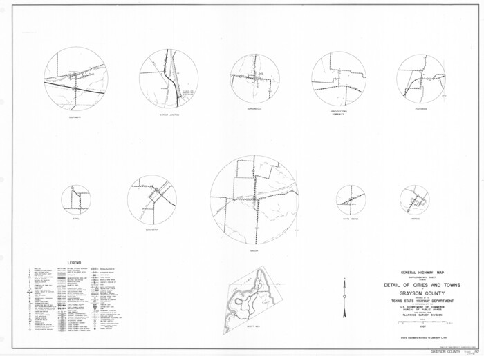
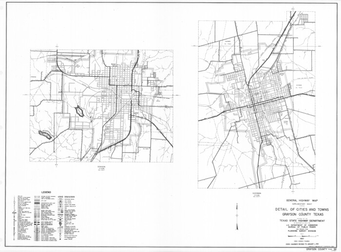
General Highway Map. Detail of Cities and Towns in Grayson County, Texas [Denison and Sherman]
Print $20.00
General Highway Map. Detail of Cities and Towns in Grayson County, Texas [Denison and Sherman]
1961
Size: 18.1 x 24.6 inches
79486
General Highway Map. Detail of Cities and Towns in Grayson County, Texas [Denison and Sherman]
Print $20.00
General Highway Map. Detail of Cities and Towns in Grayson County, Texas [Denison and Sherman]
1961
Size: 18.2 x 24.6 inches
79487
Cooke County Working Sketch 21

Print $20.00
- Digital $50.00
Cooke County Working Sketch 21
1959
Size: 35.3 x 30.3 inches
68258
Grayson County Working Sketch 20

Print $20.00
- Digital $50.00
Grayson County Working Sketch 20
1956
Size: 25.4 x 31.3 inches
63259
Grayson County Working Sketch 19

Print $20.00
- Digital $50.00
Grayson County Working Sketch 19
1956
Size: 40.0 x 29.0 inches
63258
Grayson County Working Sketch 17

Print $20.00
- Digital $50.00
Grayson County Working Sketch 17
1955
Size: 16.0 x 42.5 inches
63256
Grayson County Working Sketch 18

Print $20.00
- Digital $50.00
Grayson County Working Sketch 18
1955
Size: 22.8 x 21.1 inches
63257
Grayson County Working Sketch 16

Print $20.00
- Digital $50.00
Grayson County Working Sketch 16
1954
Size: 44.2 x 24.7 inches
63255
Grayson County Rolled Sketch 4

Print $20.00
- Digital $50.00
Grayson County Rolled Sketch 4
1953
Size: 26.0 x 27.7 inches
6031
Grayson County Working Sketch 15

Print $20.00
- Digital $50.00
Grayson County Working Sketch 15
1953
Size: 24.8 x 20.6 inches
63254
Grayson County Rolled Sketch 3

Print $20.00
- Digital $50.00
Grayson County Rolled Sketch 3
1952
Size: 33.7 x 46.1 inches
9666
Grayson County Working Sketch 14

Print $20.00
- Digital $50.00
Grayson County Working Sketch 14
1952
Size: 23.9 x 23.3 inches
63253
Texas State Boundary Line 10

Print $50.00
Texas State Boundary Line 10
2024
-
Map/Doc
97431
-
Creation Date
2024
Lebanon Quadrangle
Print $20.00
- Digital $50.00
Lebanon Quadrangle
1999
USGS Topo Sheet showing plotted Texoma Area Boundary
-
Size
35.4 x 23.4 inches
-
Map/Doc
97360
-
Creation Date
1999
Dexter Quadrangle
Print $20.00
- Digital $50.00
Dexter Quadrangle
1999
USGS Topo Sheet showing plotted Texoma Area Boundary
-
Size
35.4 x 23.4 inches
-
Map/Doc
97361
-
Creation Date
1999
Gordonville Quadrangle
Print $20.00
- Digital $50.00
Gordonville Quadrangle
1999
USGS Topo Sheet showing plotted Texoma Area Boundary
-
Size
35.4 x 23.4 inches
-
Map/Doc
97362
-
Creation Date
1999
Pottsboro Quadrangle
Print $20.00
- Digital $50.00
Pottsboro Quadrangle
1999
USGS Topo Sheet showing plotted Texoma Area Boundary
-
Size
35.4 x 23.4 inches
-
Map/Doc
97363
-
Creation Date
1999
Kingston South Quadrangle
Print $20.00
- Digital $50.00
Kingston South Quadrangle
1999
USGS Topo Sheet showing plotted Texoma Area Boundary
-
Size
35.4 x 23.4 inches
-
Map/Doc
97364
-
Creation Date
1999
Platter Quadrangle
Print $20.00
- Digital $50.00
Platter Quadrangle
1999
USGS Topo Sheet showing plotted Texoma Area Boundary
-
Size
35.4 x 23.4 inches
-
Map/Doc
97365
-
Creation Date
1999
Denison Dam Quadrangle
Print $20.00
- Digital $50.00
Denison Dam Quadrangle
1999
USGS Topo Sheet showing plotted Texoma Area Boundary
-
Size
35.4 x 23.4 inches
-
Map/Doc
97366
-
Creation Date
1999
Grayson County Sketch File 28
Print $4.00
- Digital $50.00
Grayson County Sketch File 28
1990
-
Size
14.3 x 8.8 inches
-
Map/Doc
24517
-
Creation Date
1990
Grayson County Working Sketch 27
Print $20.00
- Digital $50.00
Grayson County Working Sketch 27
1988
-
Size
29.8 x 35.9 inches
-
Map/Doc
63266
-
Creation Date
1988
Grayson County Working Sketch 26
Print $20.00
- Digital $50.00
Grayson County Working Sketch 26
1984
-
Size
27.7 x 38.8 inches
-
Map/Doc
63265
-
Creation Date
1984
Grayson County Working Sketch 25
Print $20.00
- Digital $50.00
Grayson County Working Sketch 25
1979
-
Size
34.8 x 35.0 inches
-
Map/Doc
63264
-
Creation Date
1979
Grayson County Working Sketch 24
Print $20.00
- Digital $50.00
Grayson County Working Sketch 24
1977
-
Size
34.5 x 42.1 inches
-
Map/Doc
63263
-
Creation Date
1977
Grayson County Working Sketch 23
Print $20.00
- Digital $50.00
Grayson County Working Sketch 23
1976
-
Size
18.6 x 24.3 inches
-
Map/Doc
63262
-
Creation Date
1976
Grayson County Working Sketch 22
Print $20.00
- Digital $50.00
Grayson County Working Sketch 22
1962
-
Size
21.5 x 33.6 inches
-
Map/Doc
63261
-
Creation Date
1962
Denton County Working Sketch 14
Print $40.00
- Digital $50.00
Denton County Working Sketch 14
1962
-
Size
60.5 x 36.3 inches
-
Map/Doc
68619
-
Creation Date
1962
Grayson County Working Sketch 21
Print $20.00
- Digital $50.00
Grayson County Working Sketch 21
1961
-
Size
42.6 x 26.5 inches
-
Map/Doc
63260
-
Creation Date
1961
General Highway Map, Grayson County, Texas
Print $20.00
General Highway Map, Grayson County, Texas
1961
-
Size
24.6 x 18.1 inches
-
Map/Doc
79485
-
Creation Date
1961
General Highway Map. Detail of Cities and Towns in Grayson County, Texas [Denison and Sherman]
Print $20.00
General Highway Map. Detail of Cities and Towns in Grayson County, Texas [Denison and Sherman]
1961
-
Size
18.1 x 24.6 inches
-
Map/Doc
79486
-
Creation Date
1961
General Highway Map. Detail of Cities and Towns in Grayson County, Texas [Denison and Sherman]
Print $20.00
General Highway Map. Detail of Cities and Towns in Grayson County, Texas [Denison and Sherman]
1961
-
Size
18.2 x 24.6 inches
-
Map/Doc
79487
-
Creation Date
1961
Cooke County Working Sketch 21
Print $20.00
- Digital $50.00
Cooke County Working Sketch 21
1959
-
Size
35.3 x 30.3 inches
-
Map/Doc
68258
-
Creation Date
1959
Grayson County Working Sketch 20
Print $20.00
- Digital $50.00
Grayson County Working Sketch 20
1956
-
Size
25.4 x 31.3 inches
-
Map/Doc
63259
-
Creation Date
1956
Grayson County Working Sketch 19
Print $20.00
- Digital $50.00
Grayson County Working Sketch 19
1956
-
Size
40.0 x 29.0 inches
-
Map/Doc
63258
-
Creation Date
1956
Grayson County Working Sketch 17
Print $20.00
- Digital $50.00
Grayson County Working Sketch 17
1955
-
Size
16.0 x 42.5 inches
-
Map/Doc
63256
-
Creation Date
1955
Grayson County Working Sketch 18
Print $20.00
- Digital $50.00
Grayson County Working Sketch 18
1955
-
Size
22.8 x 21.1 inches
-
Map/Doc
63257
-
Creation Date
1955
Grayson County Working Sketch 16
Print $20.00
- Digital $50.00
Grayson County Working Sketch 16
1954
-
Size
44.2 x 24.7 inches
-
Map/Doc
63255
-
Creation Date
1954
Grayson County Rolled Sketch 4
Print $20.00
- Digital $50.00
Grayson County Rolled Sketch 4
1953
-
Size
26.0 x 27.7 inches
-
Map/Doc
6031
-
Creation Date
1953
Grayson County Working Sketch 15
Print $20.00
- Digital $50.00
Grayson County Working Sketch 15
1953
-
Size
24.8 x 20.6 inches
-
Map/Doc
63254
-
Creation Date
1953
Grayson County Rolled Sketch 3
Print $20.00
- Digital $50.00
Grayson County Rolled Sketch 3
1952
-
Size
33.7 x 46.1 inches
-
Map/Doc
9666
-
Creation Date
1952
Grayson County Working Sketch 14
Print $20.00
- Digital $50.00
Grayson County Working Sketch 14
1952
-
Size
23.9 x 23.3 inches
-
Map/Doc
63253
-
Creation Date
1952