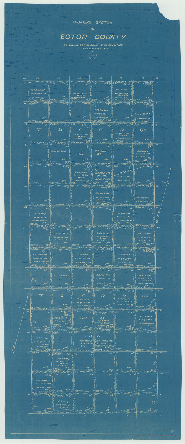
Ector County Working Sketch 1
-
Map/Doc
62182
-
Collection
General Map Collection
-
Object Dates
6/27/1930 (Creation Date)
-
Counties
Ector
-
Subjects
Surveying Working Sketch
-
Height x Width
40.7 x 17.0 inches
103.4 x 43.2 cm
-
Scale
1" = 1000 varas
Part of: General Map Collection
Llano County Working Sketch 6

Print $20.00
- Digital $50.00
Llano County Working Sketch 6
1961
Size 15.8 x 20.8 inches
Map/Doc 70624
Motley County Sketch File 36 (S)

Print $4.00
- Digital $50.00
Motley County Sketch File 36 (S)
1893
Size 11.0 x 8.8 inches
Map/Doc 32220
Nueces County Rolled Sketch 78

Print $53.00
Nueces County Rolled Sketch 78
1982
Size 18.2 x 24.9 inches
Map/Doc 6945
Hidalgo County Working Sketch 9

Print $20.00
- Digital $50.00
Hidalgo County Working Sketch 9
1984
Size 27.2 x 15.0 inches
Map/Doc 66186
Hutchinson County Working Sketch 27

Print $20.00
- Digital $50.00
Hutchinson County Working Sketch 27
1978
Size 26.8 x 22.2 inches
Map/Doc 66387
Dimmit County Working Sketch 51

Print $20.00
- Digital $50.00
Dimmit County Working Sketch 51
1986
Size 25.7 x 36.1 inches
Map/Doc 68712
Newton County Working Sketch 13

Print $20.00
- Digital $50.00
Newton County Working Sketch 13
1946
Size 34.4 x 34.2 inches
Map/Doc 71259
Trinity River, Levee Improvement Districts, Widths of Floodways

Print $20.00
- Digital $50.00
Trinity River, Levee Improvement Districts, Widths of Floodways
1923
Size 37.6 x 28.2 inches
Map/Doc 65253
Armstrong County Sketch File C

Print $46.00
- Digital $50.00
Armstrong County Sketch File C
1904
Size 16.4 x 15.7 inches
Map/Doc 10856
Lampasas County Boundary File 4

Print $44.00
- Digital $50.00
Lampasas County Boundary File 4
Size 14.0 x 8.5 inches
Map/Doc 56110
Calhoun County Rolled Sketch 6

Print $20.00
- Digital $50.00
Calhoun County Rolled Sketch 6
Size 24.0 x 22.5 inches
Map/Doc 5362
Trinity River, Levee Improvement Districts, Widths of Floodways/Pilot Grove Creek and East Fork Trinity River

Print $6.00
- Digital $50.00
Trinity River, Levee Improvement Districts, Widths of Floodways/Pilot Grove Creek and East Fork Trinity River
1920
Size 33.0 x 17.1 inches
Map/Doc 65259
You may also like

Bee County Sketch File 28

Print $6.00
- Digital $50.00
Bee County Sketch File 28
Size 14.4 x 8.7 inches
Map/Doc 14335
Matagorda County Sketch File 23

Print $4.00
- Digital $50.00
Matagorda County Sketch File 23
1898
Size 14.2 x 8.6 inches
Map/Doc 30785
Pecos County Rolled Sketch 56

Print $20.00
- Digital $50.00
Pecos County Rolled Sketch 56
1916
Size 18.1 x 24.2 inches
Map/Doc 5229
Presidio County Working Sketch 135

Print $20.00
- Digital $50.00
Presidio County Working Sketch 135
1988
Size 23.6 x 24.4 inches
Map/Doc 71813
Cameron County Rolled Sketch 20B

Print $20.00
- Digital $50.00
Cameron County Rolled Sketch 20B
Size 24.3 x 12.7 inches
Map/Doc 5473
Map of north end of Brazos Island

Print $20.00
- Digital $50.00
Map of north end of Brazos Island
Size 27.5 x 18.4 inches
Map/Doc 72905
American Civil War Political Loyalties

American Civil War Political Loyalties
2022
Size 8.5 x 11.0 inches
Map/Doc 97091
Denton County Sketch File 7

Print $8.00
- Digital $50.00
Denton County Sketch File 7
Size 13.7 x 7.9 inches
Map/Doc 20698
Flight Mission No. CZW-1R, Frame 116, Hardeman County

Print $20.00
- Digital $50.00
Flight Mission No. CZW-1R, Frame 116, Hardeman County
1956
Size 18.6 x 19.0 inches
Map/Doc 85235
Galveston County NRC Article 33.136 Location Key Sheet

Print $20.00
- Digital $50.00
Galveston County NRC Article 33.136 Location Key Sheet
1994
Size 27.0 x 21.8 inches
Map/Doc 77019
Brazos River Conservation and Reclamation District Official Boundary Line Survey

Print $20.00
- Digital $50.00
Brazos River Conservation and Reclamation District Official Boundary Line Survey
Size 36.8 x 24.8 inches
Map/Doc 90126