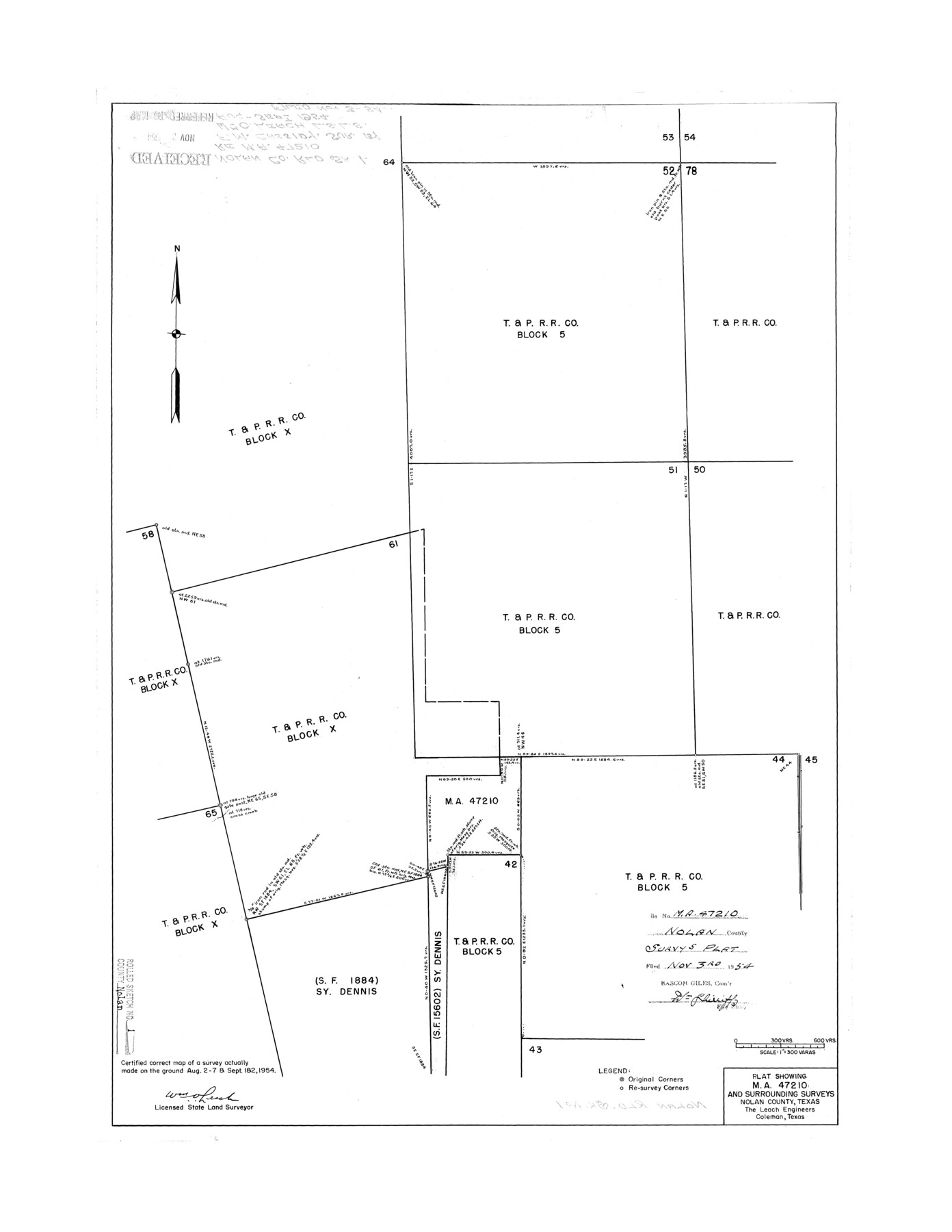
Nolan County Rolled Sketch 1
Plat showing MA-47210 and surrounding surveys
-
Map/Doc
6859
-
Collection
General Map Collection
-
Object Dates
1954/9/2 (Survey Date)
1954/11/3 (File Date)
-
People and Organizations
Wm. O. Leach (Surveyor/Engineer)
-
Counties
Nolan
-
Subjects
Surveying Rolled Sketch
-
Height x Width
27.8 x 21.5 inches
70.6 x 54.6 cm
-
Scale
1" = 300 varas
Part of: General Map Collection
Calhoun County Rolled Sketch 20

Print $20.00
- Digital $50.00
Calhoun County Rolled Sketch 20
1959
Size 36.9 x 20.7 inches
Map/Doc 5372
Wichita County Sketch File 24

Print $20.00
- Digital $50.00
Wichita County Sketch File 24
1919
Size 17.3 x 24.0 inches
Map/Doc 12684
Crockett County Sketch File 17

Print $10.00
- Digital $50.00
Crockett County Sketch File 17
1881
Size 12.7 x 8.0 inches
Map/Doc 19678
Cottle County Sketch File A1

Print $34.00
- Digital $50.00
Cottle County Sketch File A1
1882
Size 15.7 x 29.1 inches
Map/Doc 11199
Parker County Working Sketch 6

Print $20.00
- Digital $50.00
Parker County Working Sketch 6
1923
Map/Doc 71456
Crane County Working Sketch 2

Print $20.00
- Digital $50.00
Crane County Working Sketch 2
1924
Size 31.6 x 34.5 inches
Map/Doc 68279
Flight Mission No. BQY-4M, Frame 70, Harris County

Print $20.00
- Digital $50.00
Flight Mission No. BQY-4M, Frame 70, Harris County
1953
Size 18.7 x 22.4 inches
Map/Doc 85279

Flight Mission No. BRE-4P, Frame 166, Nueces County

Print $20.00
- Digital $50.00
Flight Mission No. BRE-4P, Frame 166, Nueces County
1956
Size 18.5 x 22.4 inches
Map/Doc 86829
Van Zandt County Working Sketch 8

Print $3.00
- Digital $50.00
Van Zandt County Working Sketch 8
1982
Size 15.6 x 9.2 inches
Map/Doc 72258
Map of Comanche County

Print $20.00
- Digital $50.00
Map of Comanche County
1856
Size 22.5 x 29.8 inches
Map/Doc 3432
Denton County Working Sketch 35

Print $20.00
- Digital $50.00
Denton County Working Sketch 35
2008
Size 24.7 x 19.3 inches
Map/Doc 88821
You may also like
Hays County State Real Property Sketch 3

Print $20.00
- Digital $50.00
Hays County State Real Property Sketch 3
2003
Size 24.0 x 37.2 inches
Map/Doc 96638
General Highway Map, Mitchell County, Texas

Print $20.00
General Highway Map, Mitchell County, Texas
1940
Size 18.5 x 24.8 inches
Map/Doc 79200
Current Miscellaneous File 87

Print $8.00
- Digital $50.00
Current Miscellaneous File 87
Size 11.3 x 8.6 inches
Map/Doc 74243
Angelina County Working Sketch 10

Print $20.00
- Digital $50.00
Angelina County Working Sketch 10
1934
Size 35.0 x 36.9 inches
Map/Doc 67091

Presidio County Rolled Sketch T-2

Print $40.00
- Digital $50.00
Presidio County Rolled Sketch T-2
Size 29.9 x 65.1 inches
Map/Doc 9804
Bandera County Working Sketch 44

Print $20.00
- Digital $50.00
Bandera County Working Sketch 44
1980
Size 14.0 x 20.4 inches
Map/Doc 67640

Hardin County Rolled Sketch 22

Print $20.00
- Digital $50.00
Hardin County Rolled Sketch 22
1977
Size 32.0 x 44.4 inches
Map/Doc 9110
Archer County Boundary File 4

Print $54.00
- Digital $50.00
Archer County Boundary File 4
Size 8.9 x 9.7 inches
Map/Doc 50103
Collingsworth County Sketch File 7

Print $10.00
- Digital $50.00
Collingsworth County Sketch File 7
1915
Size 11.4 x 9.0 inches
Map/Doc 18884
Upton County Rolled Sketch 25

Print $20.00
- Digital $50.00
Upton County Rolled Sketch 25
1941
Size 33.2 x 34.5 inches
Map/Doc 10044