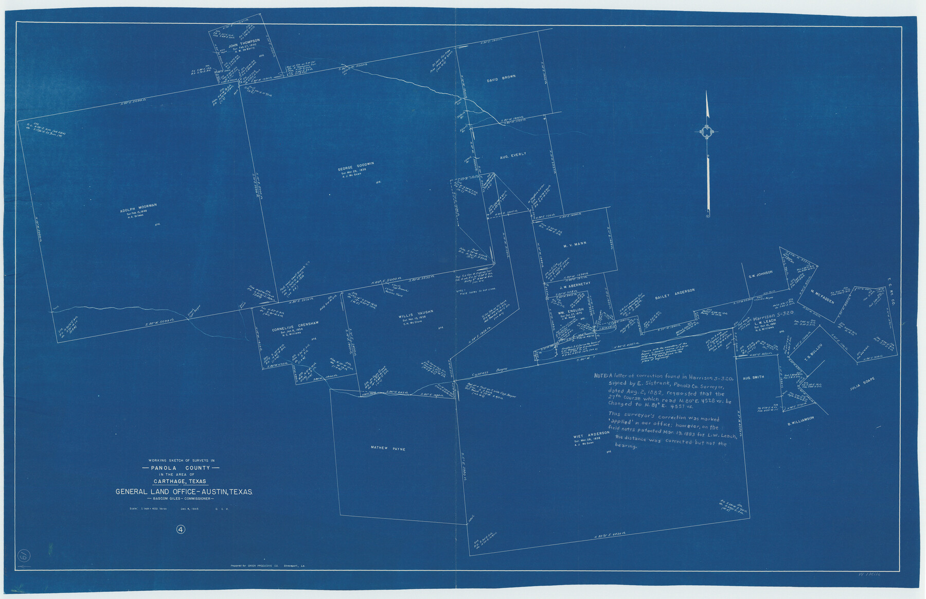
Panola County Working Sketch 19
-
Map/Doc
71428
-
Collection
General Map Collection
-
Object Dates
12/4/1945 (Creation Date)
-
People and Organizations
Otto G. Kurio (Draftsman)
-
Counties
Panola
-
Subjects
Surveying Working Sketch
-
Scale
1" = 400 varas
Part of: General Map Collection
Flight Mission No. CUG-1P, Frame 168, Kleberg County

Print $20.00
- Digital $50.00
Flight Mission No. CUG-1P, Frame 168, Kleberg County
1956
Size 18.6 x 22.2 inches
Map/Doc 86175
El Paso County Sketch File 4

Print $20.00
- Digital $50.00
El Paso County Sketch File 4
1885
Size 17.1 x 28.3 inches
Map/Doc 11449
Flight Mission No. CRC-3R, Frame 26, Chambers County

Print $20.00
- Digital $50.00
Flight Mission No. CRC-3R, Frame 26, Chambers County
1956
Size 18.7 x 22.3 inches
Map/Doc 84800
Map of North America engraved to illustrate Mitchell's new intermediate geography

Print $20.00
- Digital $50.00
Map of North America engraved to illustrate Mitchell's new intermediate geography
1885
Size 12.2 x 9.0 inches
Map/Doc 93512
Throckmorton County

Print $20.00
- Digital $50.00
Throckmorton County
1880
Size 24.5 x 19.3 inches
Map/Doc 4079
Goliad County Boundary File 33

Print $12.00
- Digital $50.00
Goliad County Boundary File 33
Size 9.4 x 4.2 inches
Map/Doc 53797
Stephens County Working Sketch 34

Print $20.00
- Digital $50.00
Stephens County Working Sketch 34
1978
Size 33.5 x 28.3 inches
Map/Doc 63977
Anderson County Working Sketch 1

Print $20.00
- Digital $50.00
Anderson County Working Sketch 1
Size 24.0 x 19.3 inches
Map/Doc 67000
Crockett County Working Sketch 12

Print $20.00
- Digital $50.00
Crockett County Working Sketch 12
1915
Size 19.3 x 15.4 inches
Map/Doc 68345
Loving County Working Sketch 12

Print $40.00
- Digital $50.00
Loving County Working Sketch 12
1957
Size 48.1 x 37.1 inches
Map/Doc 70645
Goliad County Working Sketch 17

Print $20.00
- Digital $50.00
Goliad County Working Sketch 17
1949
Size 21.8 x 22.2 inches
Map/Doc 63207
Pecos County Rolled Sketch 82

Print $20.00
- Digital $50.00
Pecos County Rolled Sketch 82
1930
Size 28.3 x 25.8 inches
Map/Doc 10191
You may also like
Harris County Working Sketch 98

Print $20.00
- Digital $50.00
Harris County Working Sketch 98
1979
Size 44.2 x 28.4 inches
Map/Doc 65990
Eastland County Rolled Sketch 14

Print $20.00
- Digital $50.00
Eastland County Rolled Sketch 14
Size 18.5 x 18.3 inches
Map/Doc 5775
Childress County Working Sketch Graphic Index

Print $20.00
- Digital $50.00
Childress County Working Sketch Graphic Index
1978
Size 45.5 x 34.3 inches
Map/Doc 76493
Northwest Part Pecos County

Print $20.00
- Digital $50.00
Northwest Part Pecos County
1975
Size 42.2 x 42.2 inches
Map/Doc 77395
Hunt County Rolled Sketch 5

Print $20.00
- Digital $50.00
Hunt County Rolled Sketch 5
1966
Size 23.9 x 23.7 inches
Map/Doc 6274
Duval County Working Sketch 52

Print $20.00
- Digital $50.00
Duval County Working Sketch 52
1942
Size 22.1 x 25.9 inches
Map/Doc 68776
Galveston County Rolled Sketch 34

Print $20.00
- Digital $50.00
Galveston County Rolled Sketch 34
1979
Size 28.0 x 39.7 inches
Map/Doc 5966

Webb County Boundary File 3

Print $74.00
- Digital $50.00
Webb County Boundary File 3
Size 11.3 x 8.8 inches
Map/Doc 59716
Cameron County Rolled Sketch 21

Print $20.00
- Digital $50.00
Cameron County Rolled Sketch 21
1952
Size 27.3 x 40.2 inches
Map/Doc 8573
Castro County Working Sketch 4

Print $20.00
- Digital $50.00
Castro County Working Sketch 4
1920
Size 17.0 x 16.2 inches
Map/Doc 67899
Montague County Sketch File 21

Print $4.00
- Digital $50.00
Montague County Sketch File 21
1888
Size 12.4 x 8.3 inches
Map/Doc 31751