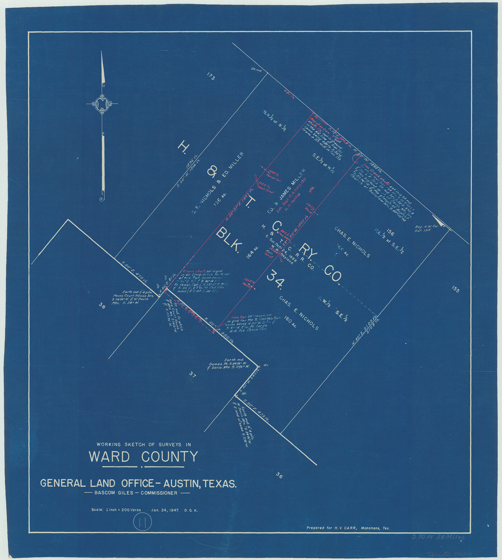
Ward County Working Sketch 11
-
Map/Doc
72317
-
Collection
General Map Collection
-
Object Dates
1/24/1947 (Creation Date)
-
People and Organizations
Otto G. Kurio (Draftsman)
-
Counties
Ward
-
Subjects
Surveying Working Sketch
-
Height x Width
22.1 x 19.8 inches
56.1 x 50.3 cm
-
Scale
1" = 200 varas
Part of: General Map Collection
Sutton County Working Sketch 22

Print $20.00
- Digital $50.00
Sutton County Working Sketch 22
1981
Size 33.7 x 33.4 inches
Map/Doc 62365
Sterling County Sketch File 6

Print $12.00
- Digital $50.00
Sterling County Sketch File 6
1912
Size 5.7 x 8.8 inches
Map/Doc 37115
Coleman County Sketch File 20

Print $4.00
- Digital $50.00
Coleman County Sketch File 20
1871
Size 12.9 x 8.0 inches
Map/Doc 18694
Henderson County Sketch File 23

Print $38.00
- Digital $50.00
Henderson County Sketch File 23
1956
Size 9.1 x 9.1 inches
Map/Doc 26372
Travis County Sketch File 65

Print $4.00
- Digital $50.00
Travis County Sketch File 65
1948
Size 9.1 x 9.1 inches
Map/Doc 38438
Calhoun County Rolled Sketch 30

Print $20.00
- Digital $50.00
Calhoun County Rolled Sketch 30
1974
Size 18.5 x 27.6 inches
Map/Doc 5490
Township 1 North Range 12 West, North Western District, Louisiana

Print $20.00
- Digital $50.00
Township 1 North Range 12 West, North Western District, Louisiana
1884
Size 19.7 x 24.6 inches
Map/Doc 65877
Flight Mission No. CLL-3N, Frame 33, Willacy County

Print $20.00
- Digital $50.00
Flight Mission No. CLL-3N, Frame 33, Willacy County
1954
Size 18.6 x 22.3 inches
Map/Doc 87090
Real County Working Sketch 79

Print $20.00
- Digital $50.00
Real County Working Sketch 79
1981
Size 19.8 x 22.2 inches
Map/Doc 71971
Fayette County Working Sketch 8

Print $20.00
- Digital $50.00
Fayette County Working Sketch 8
1981
Size 14.4 x 11.5 inches
Map/Doc 69172
Trinity River, Powell Sheet/Chambers Creek

Print $20.00
- Digital $50.00
Trinity River, Powell Sheet/Chambers Creek
1931
Size 32.6 x 37.9 inches
Map/Doc 65230

You may also like
Bastrop County Working Sketch 6

Print $20.00
- Digital $50.00
Bastrop County Working Sketch 6
1923
Size 37.5 x 31.2 inches
Map/Doc 67306
Flight Mission No. BRE-2P, Frame 40, Nueces County

Print $20.00
- Digital $50.00
Flight Mission No. BRE-2P, Frame 40, Nueces County
1956
Size 18.4 x 22.4 inches
Map/Doc 86742

Hamilton County Sketch File 1

Print $4.00
- Digital $50.00
Hamilton County Sketch File 1
Size 12.5 x 8.2 inches
Map/Doc 24897
Brazoria County NRC Article 33.136 Location Key Sheet

Print $20.00
- Digital $50.00
Brazoria County NRC Article 33.136 Location Key Sheet
1965
Size 27.0 x 22.0 inches
Map/Doc 77007
General Highway Map, Goliad County, Texas

Print $20.00
General Highway Map, Goliad County, Texas
1961
Size 18.2 x 24.7 inches
Map/Doc 79481
Nueces County Sketch File 20

Print $8.00
- Digital $50.00
Nueces County Sketch File 20
1881
Size 10.7 x 8.1 inches
Map/Doc 32553
Milam County Boundary File 5a

Print $12.00
- Digital $50.00
Milam County Boundary File 5a
Size 14.1 x 8.5 inches
Map/Doc 57233
Upton County Rolled Sketch 42

Print $40.00
- Digital $50.00
Upton County Rolled Sketch 42
Size 26.5 x 55.9 inches
Map/Doc 10056
Childress County Rolled Sketch 8A

Print $20.00
- Digital $50.00
Childress County Rolled Sketch 8A
Size 18.2 x 12.9 inches
Map/Doc 5443
Hudspeth County Working Sketch 59

Print $20.00
- Digital $50.00
Hudspeth County Working Sketch 59
1992
Size 24.3 x 33.4 inches
Map/Doc 66344
Coleman County Working Sketch 16

Print $20.00
- Digital $50.00
Coleman County Working Sketch 16
1950
Size 41.7 x 35.7 inches
Map/Doc 68082