Roberts County Rolled Sketch 1
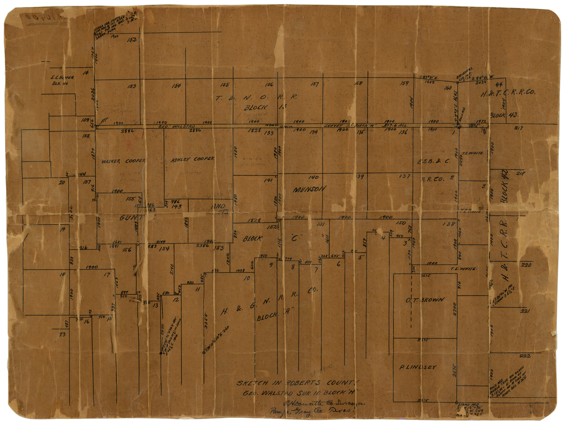
Sketch in Roberts County, Geo. Walstad sur. 10, Block H
-
Map/Doc
7510
-
Collection
General Map Collection
-
Object Dates
2/1/1939 (File Date)
-
People and Organizations
A.H. Doucette (Surveyor/Engineer)
-
Counties
Roberts
-
Subjects
Surveying Rolled Sketch
-
Height x Width
18.4 x 23.5 inches
46.7 x 59.7 cm
-
Medium
paper, manuscript
Part of: General Map Collection
Flight Mission No. DAG-23K, Frame 59, Matagorda County

Print $20.00
- Digital $50.00
Flight Mission No. DAG-23K, Frame 59, Matagorda County
1953
Size 18.5 x 22.3 inches
Map/Doc 86486
Texas Coordinate File 2

Print $6.00
- Digital $50.00
Texas Coordinate File 2
Size 11.2 x 8.8 inches
Map/Doc 75303
Aransas County NRC Article 33.136 Sketch 12

Print $44.00
- Digital $50.00
Aransas County NRC Article 33.136 Sketch 12
2012
Size 36.0 x 48.0 inches
Map/Doc 94510
Starr County Boundary File 44

Print $98.00
- Digital $50.00
Starr County Boundary File 44
Size 8.8 x 12.8 inches
Map/Doc 58818
Flight Mission No. DAG-14K, Frame 146, Matagorda County

Print $20.00
- Digital $50.00
Flight Mission No. DAG-14K, Frame 146, Matagorda County
1952
Size 18.4 x 22.2 inches
Map/Doc 86313
Bee County Sketch File 11

Print $40.00
- Digital $50.00
Bee County Sketch File 11
Size 20.8 x 25.0 inches
Map/Doc 10915
Gonzales County Working Sketch 4a

Print $20.00
- Digital $50.00
Gonzales County Working Sketch 4a
1979
Size 30.9 x 32.2 inches
Map/Doc 63219
Henderson County Working Sketch 6

Print $20.00
- Digital $50.00
Henderson County Working Sketch 6
1919
Size 24.4 x 17.6 inches
Map/Doc 66139
Dickens County Sketch File H3

Print $10.00
- Digital $50.00
Dickens County Sketch File H3
1904
Size 10.9 x 8.5 inches
Map/Doc 20876
Ward County Working Sketch 25

Print $40.00
- Digital $50.00
Ward County Working Sketch 25
1957
Size 74.3 x 25.6 inches
Map/Doc 72331
Liberty County Sketch File AX

Print $10.00
- Digital $50.00
Liberty County Sketch File AX
1899
Size 14.1 x 8.5 inches
Map/Doc 30061
Culberson Co.

Print $40.00
- Digital $50.00
Culberson Co.
1943
Size 53.1 x 33.1 inches
Map/Doc 95473
You may also like
Texas Intracoastal Waterway - Matagorda Bay, Cedar Lakes to Oyster Lake

Print $20.00
- Digital $50.00
Texas Intracoastal Waterway - Matagorda Bay, Cedar Lakes to Oyster Lake
1960
Size 27.1 x 38.9 inches
Map/Doc 73370
Bandera County Sketch File 2

Print $4.00
- Digital $50.00
Bandera County Sketch File 2
1855
Size 7.1 x 7.9 inches
Map/Doc 13997
Hutchinson County Sketch File 6

Print $8.00
- Digital $50.00
Hutchinson County Sketch File 6
1890
Size 10.9 x 8.4 inches
Map/Doc 27198
Travis County

Print $40.00
- Digital $50.00
Travis County
1936
Size 46.4 x 54.8 inches
Map/Doc 63076
Comanche County Working Sketch 31

Print $20.00
- Digital $50.00
Comanche County Working Sketch 31
1991
Size 28.4 x 24.2 inches
Map/Doc 68165
Cameron Empresario Colony. September 28, 1828

Print $20.00
Cameron Empresario Colony. September 28, 1828
2020
Size 10.4 x 21.7 inches
Map/Doc 95987
Jefferson County Rolled Sketch 37

Print $20.00
- Digital $50.00
Jefferson County Rolled Sketch 37
1957
Size 36.4 x 30.1 inches
Map/Doc 6396
[Surveying Sketch of Northern Portion of Hutchinson County]
![5065, [Surveying Sketch of Northern Portion of Hutchinson County], Maddox Collection](https://historictexasmaps.com/wmedia_w700/maps/5065.tif.jpg)
Print $20.00
- Digital $50.00
[Surveying Sketch of Northern Portion of Hutchinson County]
1890
Size 26.5 x 42.5 inches
Map/Doc 5065
Lynn County Sketch File 18

Print $4.00
- Digital $50.00
Lynn County Sketch File 18
1940
Size 11.2 x 8.8 inches
Map/Doc 30514
Young County Working Sketch 23

Print $20.00
- Digital $50.00
Young County Working Sketch 23
1965
Size 31.3 x 22.3 inches
Map/Doc 62046
[Original Muleshoe and vicinity]
![92504, [Original Muleshoe and vicinity], Twichell Survey Records](https://historictexasmaps.com/wmedia_w700/maps/92504-1.tif.jpg)
Print $20.00
- Digital $50.00
[Original Muleshoe and vicinity]
Size 36.0 x 23.6 inches
Map/Doc 92504
Henderson County Working Sketch 26

Print $20.00
- Digital $50.00
Henderson County Working Sketch 26
1954
Size 23.8 x 23.5 inches
Map/Doc 66159