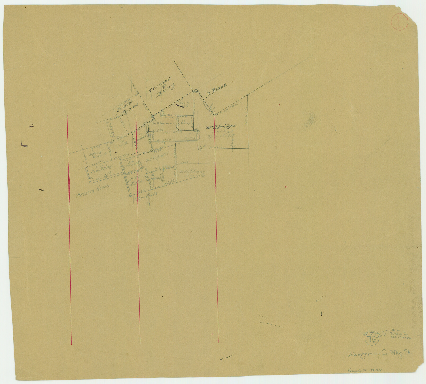
Montgomery County Working Sketch 76
-
Map/Doc
78191
-
Collection
General Map Collection
-
Counties
Montgomery
-
Subjects
Surveying Working Sketch
-
Height x Width
16.5 x 18.3 inches
41.9 x 46.5 cm
Part of: General Map Collection
Hudspeth County Rolled Sketch 74

Print $40.00
- Digital $50.00
Hudspeth County Rolled Sketch 74
1992
Size 49.5 x 38.1 inches
Map/Doc 9237
Hockley County Sketch File 1

Print $20.00
- Digital $50.00
Hockley County Sketch File 1
Size 20.3 x 18.9 inches
Map/Doc 11767
Garza County Rolled Sketch 6D

Print $20.00
- Digital $50.00
Garza County Rolled Sketch 6D
1913
Size 17.4 x 16.0 inches
Map/Doc 5998
Frio County Rolled Sketch 10

Print $20.00
- Digital $50.00
Frio County Rolled Sketch 10
1945
Size 34.0 x 35.7 inches
Map/Doc 8902
L'Amerique Meridionale, et Septentrionale Dressee selon les derniers Relations et suivant les Nouvelles Decouvertes

Print $20.00
- Digital $50.00
L'Amerique Meridionale, et Septentrionale Dressee selon les derniers Relations et suivant les Nouvelles Decouvertes
1726
Size 18.9 x 24.1 inches
Map/Doc 95134
Anderson County Rolled Sketch 15

Print $20.00
- Digital $50.00
Anderson County Rolled Sketch 15
2002
Size 40.0 x 28.3 inches
Map/Doc 78315
Uvalde County Sketch File 18

Print $6.00
- Digital $50.00
Uvalde County Sketch File 18
1883
Size 10.9 x 8.2 inches
Map/Doc 38997
Mitchell County

Print $20.00
- Digital $50.00
Mitchell County
1880
Size 26.2 x 23.5 inches
Map/Doc 3883
Cottle County Working Sketch 5

Print $20.00
- Digital $50.00
Cottle County Working Sketch 5
1921
Size 13.5 x 25.5 inches
Map/Doc 68315
Gulf Coast of the United States, Key West to Rio Grande

Print $20.00
- Digital $50.00
Gulf Coast of the United States, Key West to Rio Grande
1892
Size 27.5 x 18.4 inches
Map/Doc 72672
Rockwall County Boundary File 5

Print $44.00
- Digital $50.00
Rockwall County Boundary File 5
Size 4.1 x 9.2 inches
Map/Doc 58407
Flight Mission No. BRA-16M, Frame 72, Jefferson County

Print $20.00
- Digital $50.00
Flight Mission No. BRA-16M, Frame 72, Jefferson County
1953
Size 18.5 x 22.4 inches
Map/Doc 85689
You may also like
Kleberg County Boundary File 2c

Print $40.00
- Digital $50.00
Kleberg County Boundary File 2c
Size 8.8 x 49.6 inches
Map/Doc 64979
Leon County Working Sketch 36

Print $20.00
- Digital $50.00
Leon County Working Sketch 36
1978
Size 36.1 x 32.5 inches
Map/Doc 70435
Cameron County Sketch File 14

Print $38.00
- Digital $50.00
Cameron County Sketch File 14
1993
Size 11.2 x 8.8 inches
Map/Doc 17311
Lloyd's New Military Map of the Border & Southern States

Print $20.00
- Digital $50.00
Lloyd's New Military Map of the Border & Southern States
1864
Size 32.4 x 44.0 inches
Map/Doc 97517
Hardin County Rolled Sketch 13

Print $20.00
- Digital $50.00
Hardin County Rolled Sketch 13
1950
Size 29.8 x 27.4 inches
Map/Doc 9188
Dawson County Sketch File B

Print $10.00
- Digital $50.00
Dawson County Sketch File B
1917
Size 11.5 x 8.8 inches
Map/Doc 20465
Childress County Rolled Sketch 8C

Print $20.00
- Digital $50.00
Childress County Rolled Sketch 8C
Size 23.5 x 21.0 inches
Map/Doc 5445
Flight Mission No. DQN-2K, Frame 96, Calhoun County

Print $20.00
- Digital $50.00
Flight Mission No. DQN-2K, Frame 96, Calhoun County
1953
Size 18.8 x 22.4 inches
Map/Doc 84286
Terrell County Working Sketch 1

Print $20.00
- Digital $50.00
Terrell County Working Sketch 1
1886
Size 27.5 x 24.4 inches
Map/Doc 62149
Aransas County NRC Article 33.136 Sketch 1

Print $55.00
- Digital $50.00
Aransas County NRC Article 33.136 Sketch 1
2000
Size 24.8 x 35.6 inches
Map/Doc 61630
Starr County Sketch File 14

Print $40.00
- Digital $50.00
Starr County Sketch File 14
Size 23.8 x 46.0 inches
Map/Doc 4626
Hall County Sketch File A

Print $6.00
- Digital $50.00
Hall County Sketch File A
Size 8.0 x 16.9 inches
Map/Doc 24778