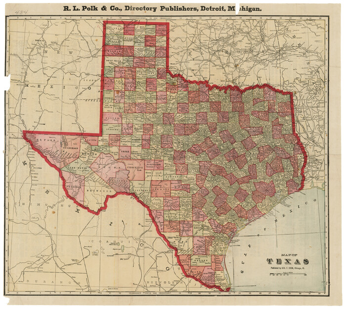
Houston, Texas
-
Map/Doc
79332
-
Collection
Texas State Library and Archives
-
Object Dates
1935 (Creation Date)
-
Counties
Harris
-
Subjects
City
-
Height x Width
17.5 x 22.5 inches
44.5 x 57.2 cm
-
Comments
Prints available courtesy of the Texas State Library and Archives.
More info can be found here: TSLAC Map 00436
Part of: Texas State Library and Archives
Official Map of the Highway System of Texas
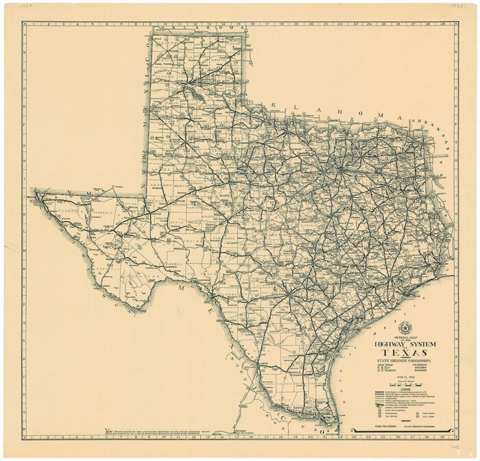

Print $20.00
Official Map of the Highway System of Texas
1933
Size 26.1 x 27.0 inches
Map/Doc 79308
Map of Texas to Accompany Granger's Southern and Western Texas Guide


Print $20.00
Map of Texas to Accompany Granger's Southern and Western Texas Guide
1878
Size 26.4 x 20.4 inches
Map/Doc 76235
General Highway Map, Atascosa County, Texas


Print $20.00
General Highway Map, Atascosa County, Texas
1961
Size 18.3 x 24.9 inches
Map/Doc 79356
Topographic Map of Big Bend Area


Print $20.00
Topographic Map of Big Bend Area
1923
Size 47.1 x 35.0 inches
Map/Doc 79757
General Highway Map, Schleicher County, Sutton County, Texas


Print $20.00
General Highway Map, Schleicher County, Sutton County, Texas
1961
Size 18.2 x 24.3 inches
Map/Doc 79649
General Highway Map, Taylor County, Texas
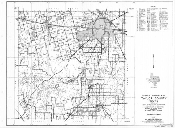

Print $20.00
General Highway Map, Taylor County, Texas
1961
Size 18.2 x 24.8 inches
Map/Doc 79672
General Highway Map, Cameron County, Texas


Print $20.00
General Highway Map, Cameron County, Texas
1940
Size 18.5 x 25.3 inches
Map/Doc 79039
General Highway Map. Detail of Cities and Towns in Kinney County, Uvalde County [Uvalde and vicinity, Sabinal, and Brackettville and vicinity]
![79163, General Highway Map. Detail of Cities and Towns in Kinney County, Uvalde County [Uvalde and vicinity, Sabinal, and
Brackettville and vicinity], Texas State Library and Archives](https://historictexasmaps.com/wmedia_w700/maps/79163.tif.jpg)
![79163, General Highway Map. Detail of Cities and Towns in Kinney County, Uvalde County [Uvalde and vicinity, Sabinal, and
Brackettville and vicinity], Texas State Library and Archives](https://historictexasmaps.com/wmedia_w700/maps/79163.tif.jpg)
Print $20.00
General Highway Map. Detail of Cities and Towns in Kinney County, Uvalde County [Uvalde and vicinity, Sabinal, and Brackettville and vicinity]
1940
Size 18.5 x 24.7 inches
Map/Doc 79163
Post Route Map of the State of Texas with Adjacent Parts of Louisiana, Arkansas, Indian Territory and the Republic of Mexico Showing Post Offices with the Intermediate Distances and Mail Routes in Operation on the 1st of April 1891
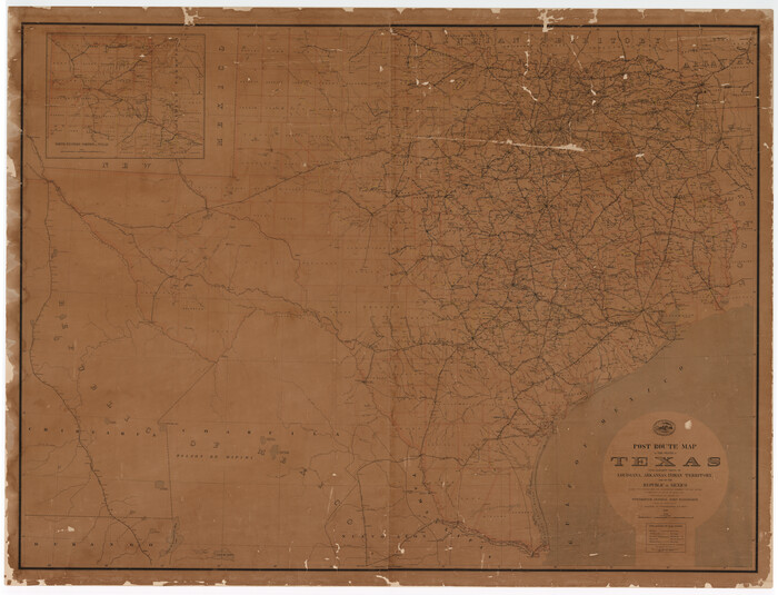

Print $40.00
Post Route Map of the State of Texas with Adjacent Parts of Louisiana, Arkansas, Indian Territory and the Republic of Mexico Showing Post Offices with the Intermediate Distances and Mail Routes in Operation on the 1st of April 1891
1891
Size 44.5 x 58.2 inches
Map/Doc 89061
Section across Valley Bench and Terraces - South Side of Red River - Big Bend Area


Print $20.00
Section across Valley Bench and Terraces - South Side of Red River - Big Bend Area
1921
Size 10.2 x 34.8 inches
Map/Doc 79750
General Highway Map. Detail of Cities and Towns in Bee County, Texas. City Map of Beeville, Bee County, Texas


Print $20.00
General Highway Map. Detail of Cities and Towns in Bee County, Texas. City Map of Beeville, Bee County, Texas
1961
Size 25.0 x 18.2 inches
Map/Doc 79365
You may also like
Navarro County Sketch File 6
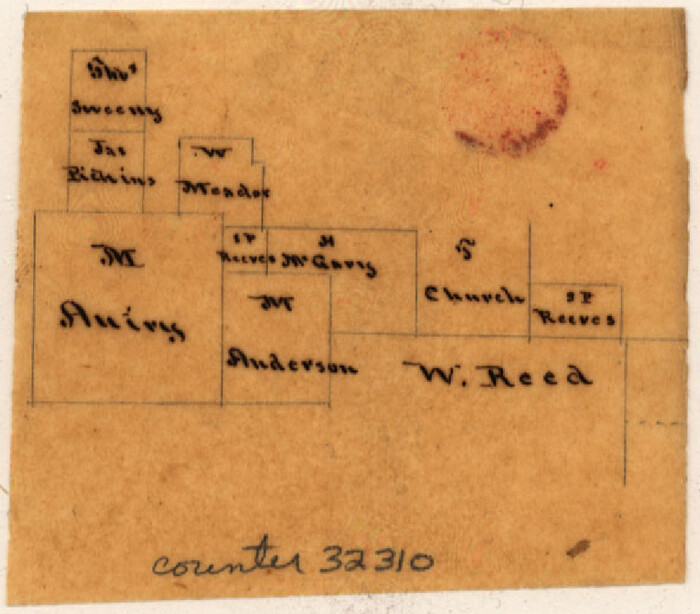

Print $6.00
- Digital $50.00
Navarro County Sketch File 6
1849
Size 6.2 x 8.4 inches
Map/Doc 32310
The Judicial District/County of Ward. Created, January 19, 1841


Print $20.00
The Judicial District/County of Ward. Created, January 19, 1841
2020
Size 18.7 x 21.7 inches
Map/Doc 96354
Bandera County Rolled Sketch 3
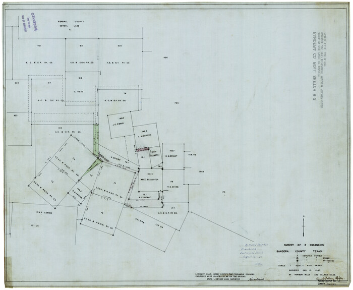

Print $20.00
- Digital $50.00
Bandera County Rolled Sketch 3
1947
Size 29.3 x 35.8 inches
Map/Doc 5115
Cameron County Working Sketch 3


Print $20.00
- Digital $50.00
Cameron County Working Sketch 3
1964
Size 40.8 x 38.6 inches
Map/Doc 67882
Polk County Sketch File 23A
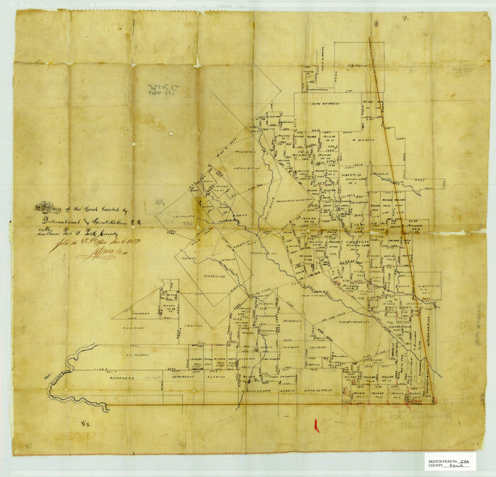

Print $20.00
- Digital $50.00
Polk County Sketch File 23A
Size 23.4 x 24.3 inches
Map/Doc 12192
Travis County Sketch File 6
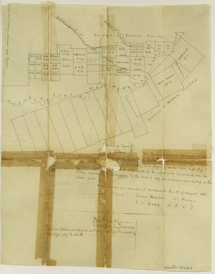

Print $8.00
- Digital $50.00
Travis County Sketch File 6
1841
Size 13.8 x 10.9 inches
Map/Doc 38283
Nueces County Sketch File 74


Print $28.00
- Digital $50.00
Nueces County Sketch File 74
1951
Size 10.1 x 15.4 inches
Map/Doc 33028
Angelina County Sketch File 27
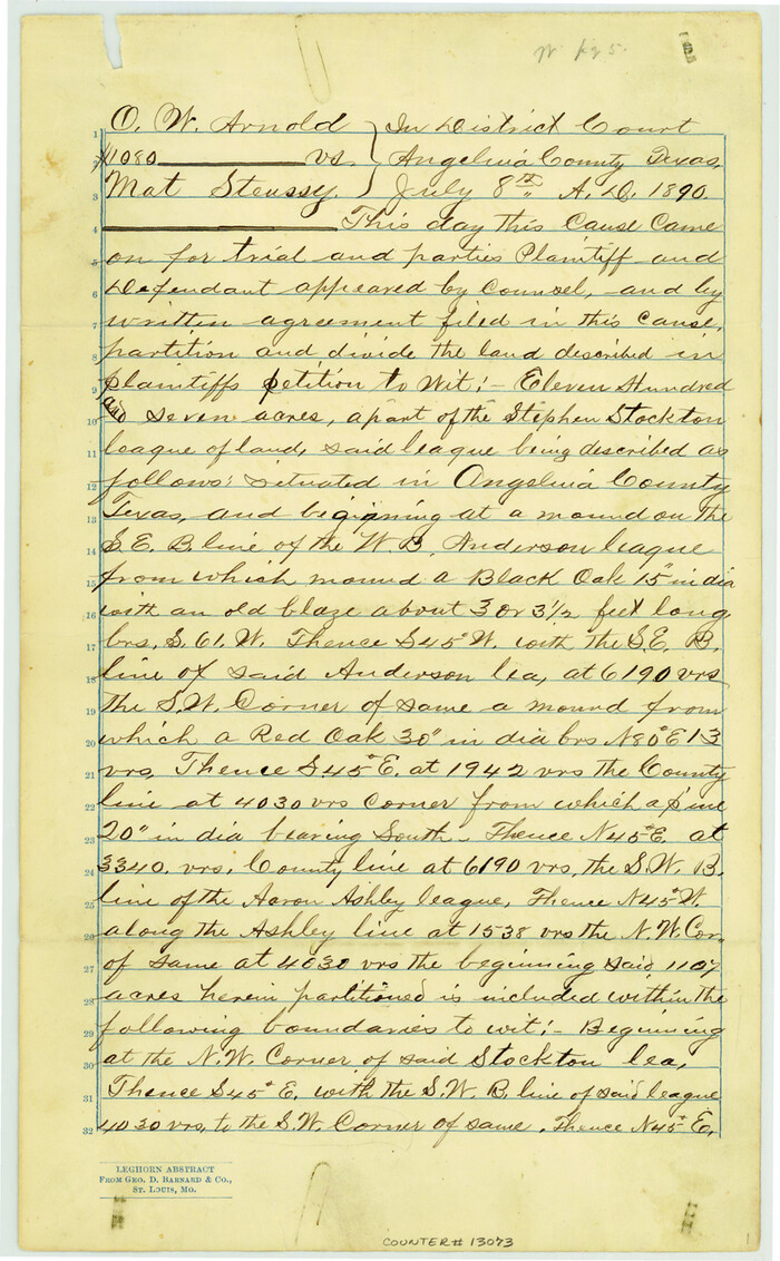

Print $10.00
- Digital $50.00
Angelina County Sketch File 27
1890
Size 14.1 x 8.7 inches
Map/Doc 13073
Trinity County Sketch File 21
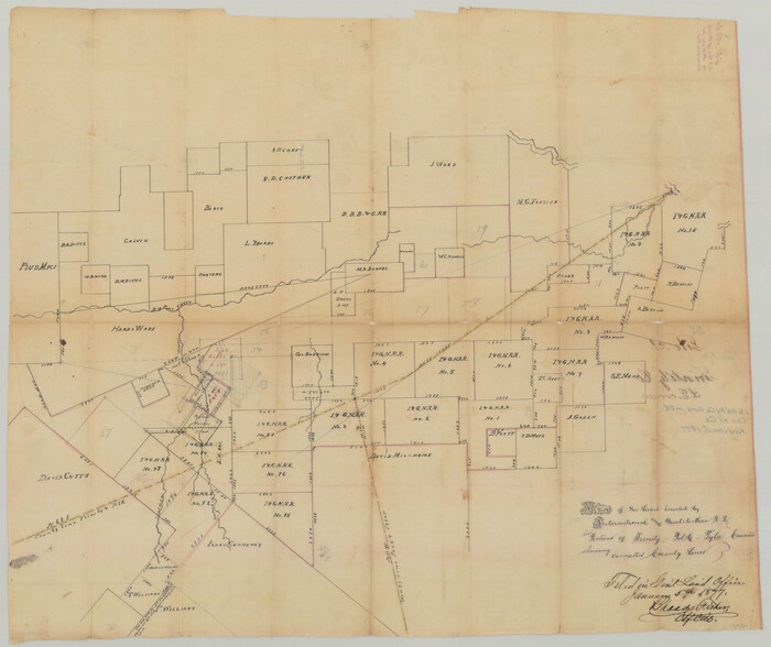

Print $20.00
- Digital $50.00
Trinity County Sketch File 21
Size 22.2 x 34.5 inches
Map/Doc 12486
Webb County Rolled Sketch 40


Print $20.00
- Digital $50.00
Webb County Rolled Sketch 40
1941
Size 20.6 x 18.4 inches
Map/Doc 8195
Estes Quadrangle


Print $20.00
- Digital $50.00
Estes Quadrangle
1971
Size 27.8 x 23.6 inches
Map/Doc 73442
Val Verde County Rolled Sketch 22
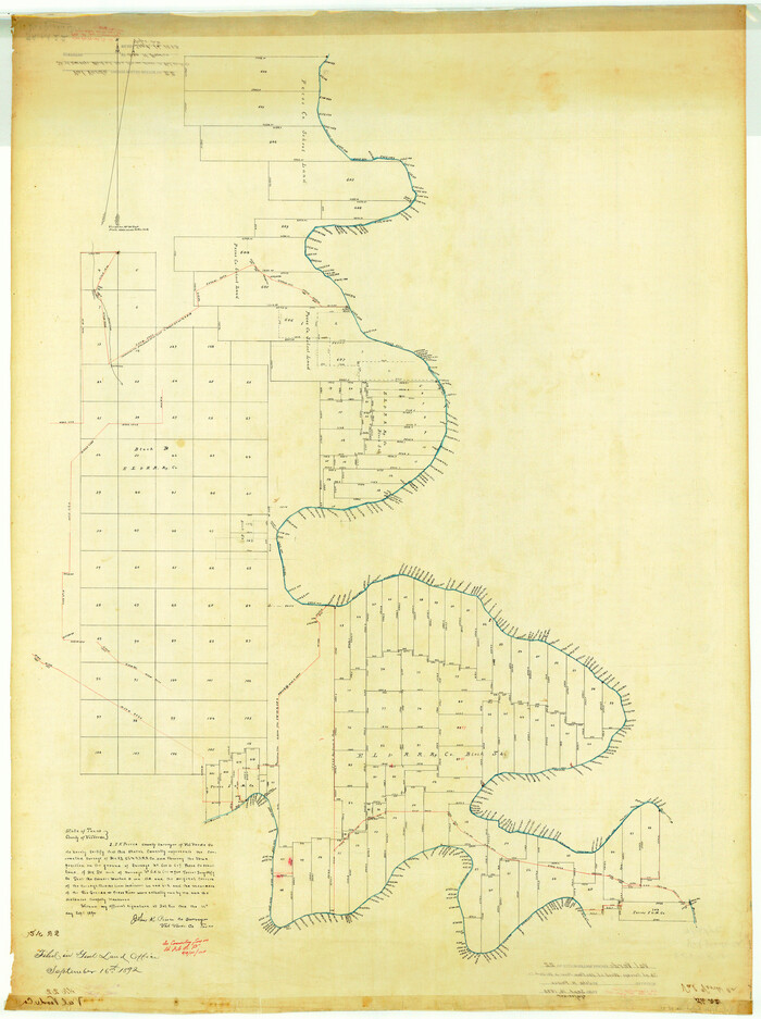

Print $40.00
- Digital $50.00
Val Verde County Rolled Sketch 22
1892
Size 51.8 x 38.7 inches
Map/Doc 10071

